Ben Tongue

Hill, Mountain in Sutherland

Scotland

Ben Tongue

A836, Coldbackie The A836 runs 122 miles from Dornoch Bridge to John O' Groats <a href="https://www.geograph.org.uk/photo/7086916">ND3872 : A836, John O' Groats</a>. Much of it is still single track.
<span class="nowrap"><a title="https://www.sabre-roads.org.uk/wiki/index.php?title=A836" rel="nofollow ugc noopener" href="https://www.sabre-roads.org.uk/wiki/index.php?title=A836">Link</a><img style="margin-left:2px;" alt="External link" title="External link - shift click to open in new window" src="https://s1.geograph.org.uk/img/external.png" width="10" height="10"/></span>
A836, Coldbackie Credit: N Chadwick

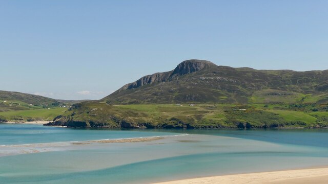
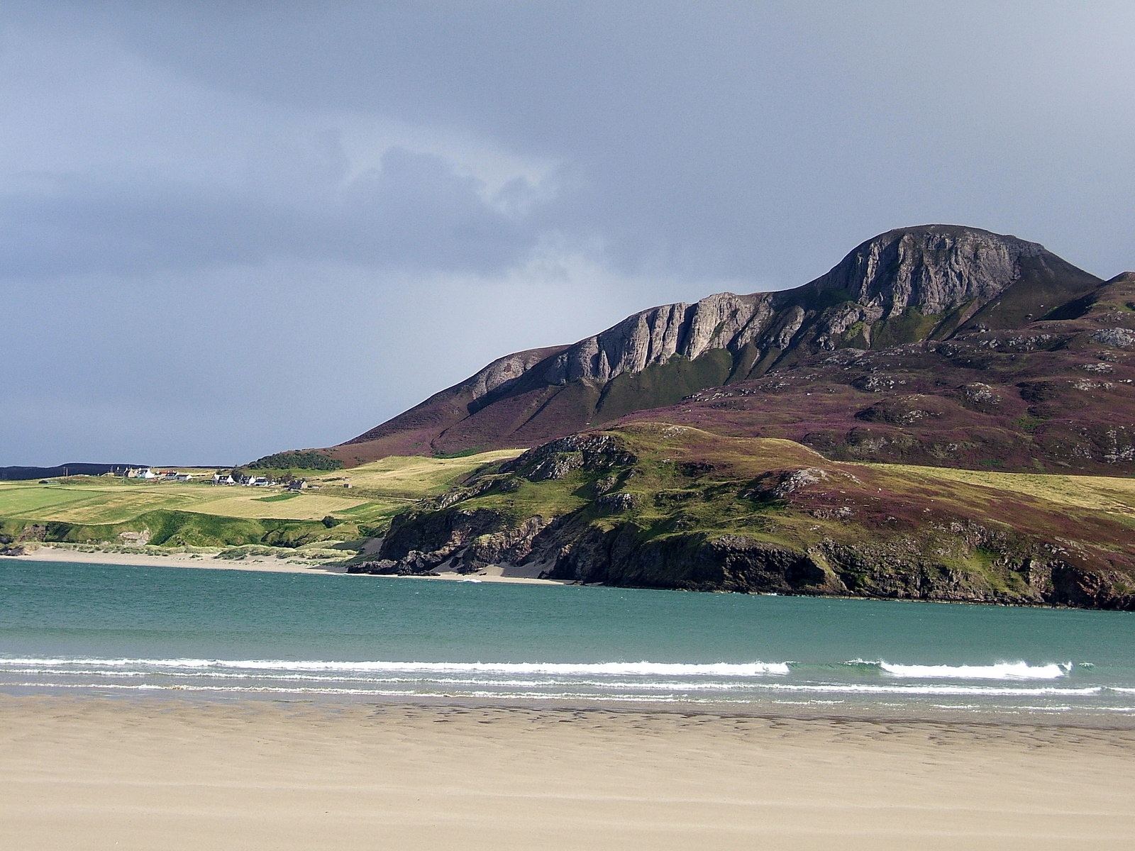
Ben Tongue is a prominent hill located in the Sutherland region of Scotland. Standing at an impressive height of 742 meters (2,434 feet), it is classified as a Corbett, making it a popular destination for hikers and outdoor enthusiasts seeking a challenging yet rewarding climb.

The hill offers stunning panoramic views of the surrounding landscape, including the rugged terrain of the Scottish Highlands, the expansive Dornoch Firth, and the nearby Ben Hope, the most northerly Munro in Scotland. On a clear day, visitors can even catch a glimpse of the Orkney Islands in the distance.

Ben Tongue is known for its steep and rocky slopes, which provide a thrilling ascent for experienced hikers. The hill is also home to a variety of wildlife, including red deer, mountain hares, and golden eagles, making it a fantastic spot for wildlife enthusiasts and photographers.

Overall, Ben Tongue is a must-visit destination for those looking to immerse themselves in the natural beauty of the Scottish Highlands and experience a challenging yet rewarding climb.

If you have any feedback on the listing, please let us know in the comments section below.
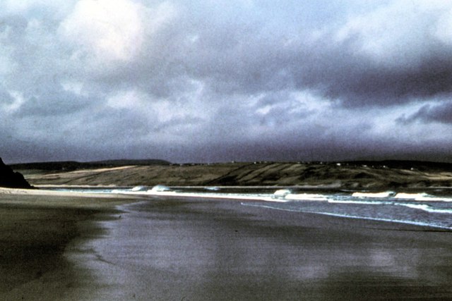
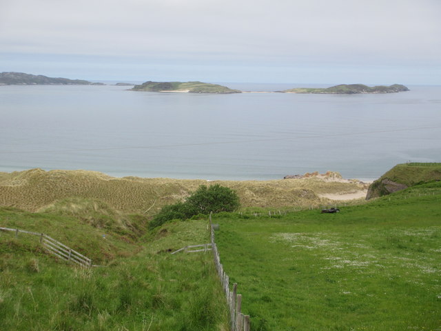
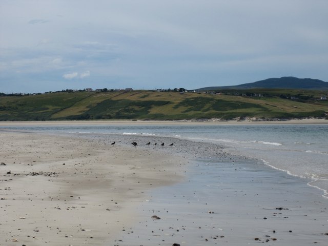
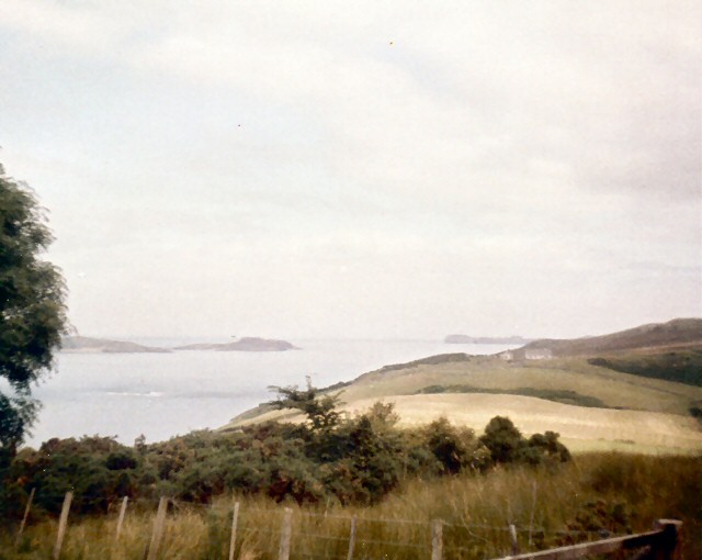
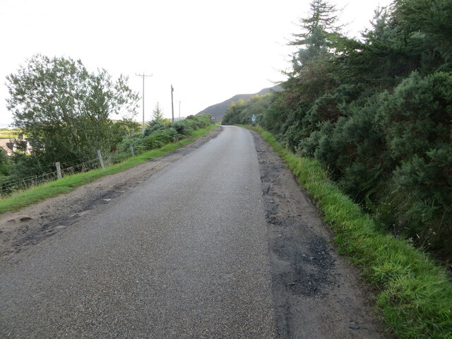
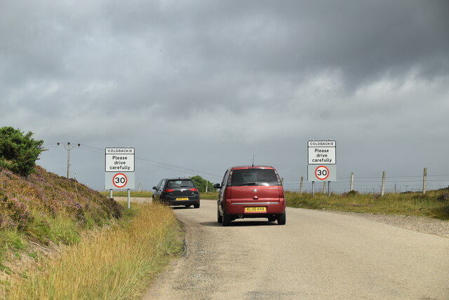
Ben Tongue Images

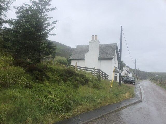
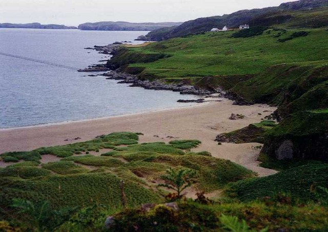
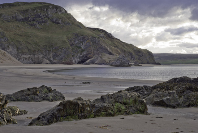
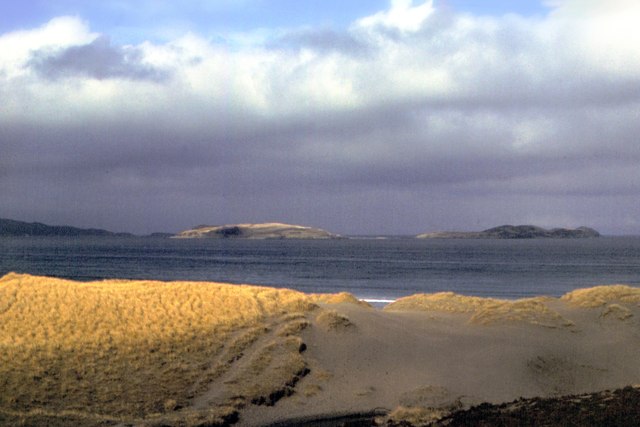
Images are sourced within 2km of 58.495062/-4.3962262 or Grid Reference NC6058. Thanks to Geograph Open Source API. All images are credited.

A836, Coldbackie The A836 runs 122 miles from Dornoch Bridge to John O' Groats <a href="https://www.geograph.org.uk/photo/7086916">ND3872 : A836, John O' Groats</a>. Much of it is still single track.
<span class="nowrap"><a title="https://www.sabre-roads.org.uk/wiki/index.php?title=A836" rel="nofollow ugc noopener" href="https://www.sabre-roads.org.uk/wiki/index.php?title=A836">Link</a><img style="margin-left:2px;" alt="External link" title="External link - shift click to open in new window" src="https://s1.geograph.org.uk/img/external.png" width="10" height="10"/></span>
A836, Coldbackie
The A836 runs 122 miles from Dornoch Bridge to John O' Groats ND3872 : A836, John O' Groats. Much of it is still single track. LinkExternal link
View from Coldbackie Out over the bay with the Rabbit Islands distant.
View from Coldbackie
Out over the bay with the Rabbit Islands distant.
Tor Aluinn Holiday accommodation in Coldbackie
Tor Aluinn
Holiday accommodation in Coldbackie
Sand Dunes, Coldbackie The beach and sand dunes, Coldbackie, Sutherland.
Sand Dunes, Coldbackie
The beach and sand dunes, Coldbackie, Sutherland.
Evening at Coldbackie beach
Tongue Bay - 1978 Tongue Bay seen from the beach near Coldbackie. Rabbit Islands visible in the distance.
Tongue Bay - 1978
Tongue Bay seen from the beach near Coldbackie. Rabbit Islands visible in the distance.
Coldbackie beach - 1978 Coldbackie beach, Kyle of Tongue.
Coldbackie beach - 1978
Coldbackie beach, Kyle of Tongue.
Coldbackie beach With the Rabbit Islands in the distance.
Coldbackie beach
With the Rabbit Islands in the distance.
Coldbackie beach - Kyle of Tongue A parcel of oystercatchers spotted on the beach at the mouth of the kyle. The most westerly bay is only accessible at low tide. The township of Melness is seen across the kyle. The houses are those featured in the photograph taken in 1978 <a href="https://www.geograph.org.uk/photo/2965631">NC6060 : Coldbackie beach - 1978</a>.
Coldbackie beach - Kyle of Tongue
A parcel of oystercatchers spotted on the beach at the mouth of the kyle. The most westerly bay is only accessible at low tide. The township of Melness is seen across the kyle. The houses are those featured in the photograph taken in 1978 NC6060 : Coldbackie beach - 1978.
Junction at Strathtongue
Rhitongue Looking across fields towards the Kyle of Tongue from the A838 South of Coldbackie.
Rhitongue
Looking across fields towards the Kyle of Tongue from the A838 South of Coldbackie.
Renovating old school near Coldbackie
Junction for Scullomie at Lochan Dubh One of many roads along the A836 leading North to coastal crofting townships.
Junction for Scullomie at Lochan Dubh
One of many roads along the A836 leading North to coastal crofting townships.
Whin luxuriant at Lochan Dubh
The Kyle of Tongue, drying Much of the Kyle dries at low water. Watching the sands come and go is rather addictive.
The Kyle of Tongue, drying
Much of the Kyle dries at low water. Watching the sands come and go is rather addictive.
Road (A836) near to Woodend Looking north-eastward.
Road (A836) near to Woodend
Looking north-eastward.
Lochan Dubh
Lochan Dubh
Entering Coldbackie, A836 The A836 runs 122 miles from Dornoch Bridge to John O' Groats <a href="https://www.geograph.org.uk/photo/7086916">ND3872 : A836, John O' Groats</a>. Much of it is still single track.
<span class="nowrap"><a title="https://www.sabre-roads.org.uk/wiki/index.php?title=A836" rel="nofollow ugc noopener" href="https://www.sabre-roads.org.uk/wiki/index.php?title=A836">Link</a><img style="margin-left:2px;" alt="External link" title="External link - shift click to open in new window" src="https://s1.geograph.org.uk/img/external.png" width="10" height="10"/></span>
Entering Coldbackie, A836
The A836 runs 122 miles from Dornoch Bridge to John O' Groats ND3872 : A836, John O' Groats. Much of it is still single track. LinkExternal link
Show me another place!

Ben Tongue is located at Grid Ref: NC6058 (Lat: 58.495062, Lng: -4.3962262)

Unitary Authority: Highland

Police Authority: Highlands and Islands

What 3 Words

///perplexed.devotion.observers. Near Altnaharra, Highland

Nearby Locations

Ben Tongue

Related Wikis

Cnoc an Fhreiceadain

Cnoc an Fhreiceadain (Hill of Watching or Watch Hill) is a coastal mountain peak in northern Scotland. It is 307 metres (1,007 ft) high with commanding...

Coldbackie

Coldbackie (Scottish Gaelic: Callbacaidh) is a crofting township in Sutherland and is in the Scottish council area of Highland Scotland. == Geography... ==

Achuvoldrach

Achuvoldrach (Scottish Gaelic: Achadh a’ Mholltairich) is a small remote village on the west shore of the Kyle of Tongue in Sutherland, in the Highland...

Braetongue

Braetongue (Scottish Gaelic: Bràigh Thunga) is an area in northern Sutherland just north of the town of Tongue (grid ref. NC595572). Runrig mentions the...

Nearby Amenities

Located within 500m of 58.495062,-4.3962262
Ben Tongue
Ele: 302
Natural: peak
Lat/Long: 58.4951/-4.3962226
Man Made: tower
Tower Type: communication
Lat/Long: 58.4949318/-4.3957605
The data included in this document is from www.openstreetmap.org. The data is made available under ODbL.

Have you been to Ben Tongue?

Leave your review of Ben Tongue below (or comments, questions and feedback).