A' Mharconaich

Hill, Mountain in Inverness-shire

Scotland

A' Mharconaich

Very helpful shelter On a windy bealach, having a well constructed cairn which provides shelter to both sides is much appreciated. Loch Ericht in the background.
Very helpful shelter Credit: Aleks Scholz

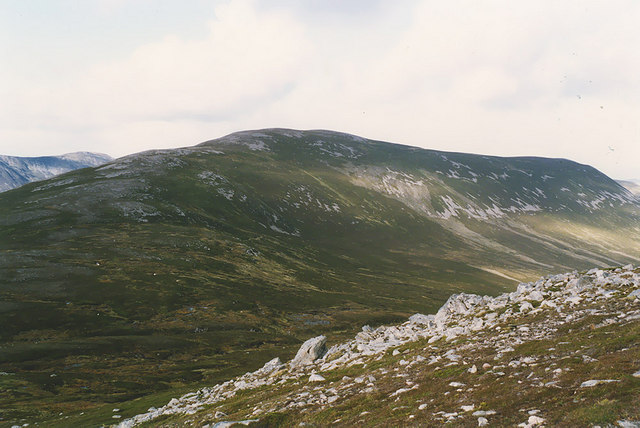
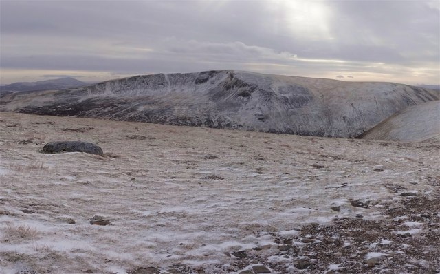
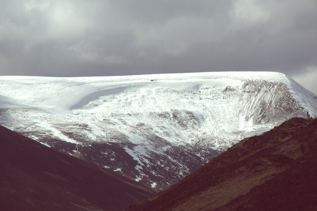
A' Mharconaich is a prominent hill located in the county of Inverness-shire, Scotland. It forms part of the Grampian Mountains range and stands at an impressive height of 975 meters (3,199 feet). It is situated within the Cairngorms National Park, renowned for its stunning natural beauty and abundant wildlife.

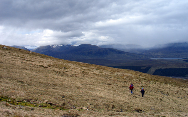
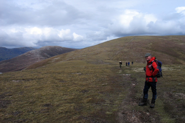
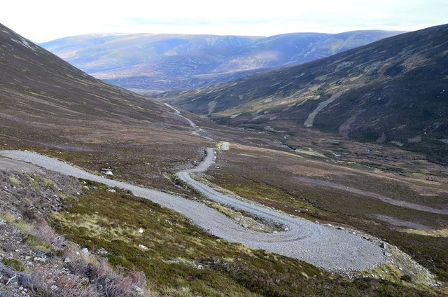
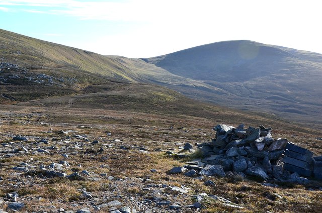
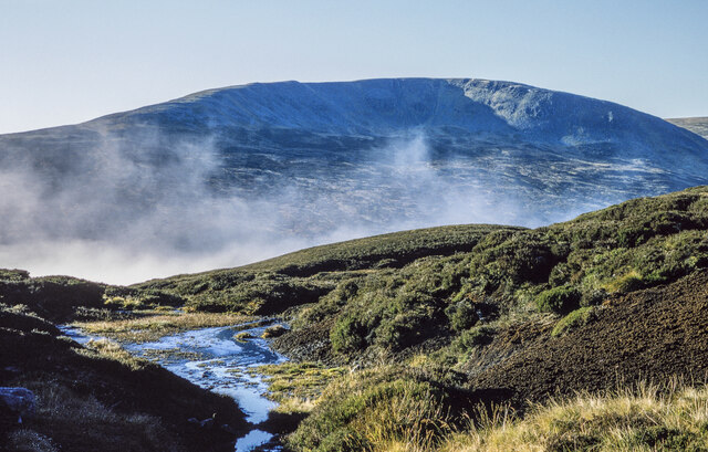
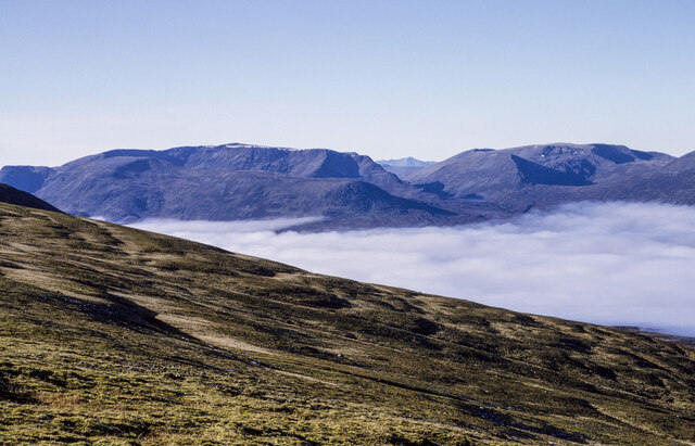
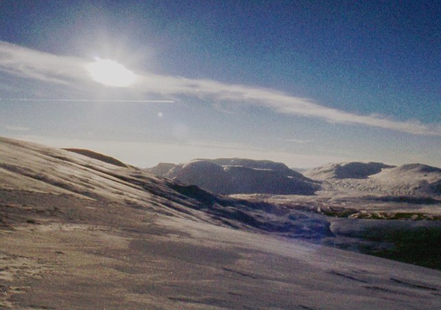
The hill is known for its distinct pyramid-shaped peak, which offers panoramic views of the surrounding landscape. The ascent to the summit is relatively moderate, making it a popular choice for hikers and mountaineers of varying skill levels. The path to the top is well-marked and provides a rewarding experience for those seeking to explore the Scottish Highlands.

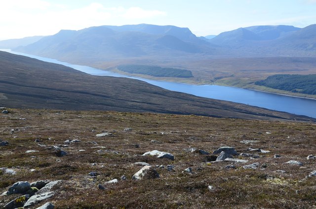
A' Mharconaich is surrounded by a diverse range of ecosystems, including moorland, heath, and scattered woodland. This creates a rich habitat for a variety of flora and fauna. It is not uncommon to spot red deer, golden eagles, and other native species while traversing the hillside.

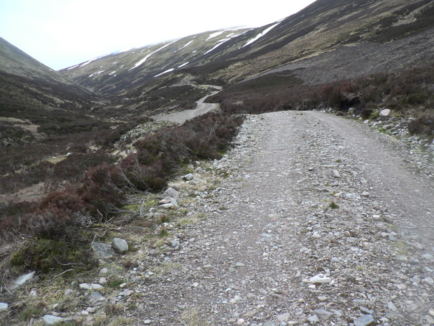
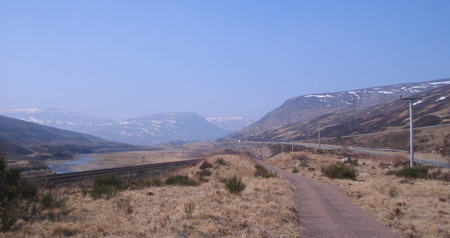
The hill also holds historical significance, as it was once used as a route by drovers, who would guide their livestock through the area. This adds an additional layer of cultural heritage to the natural charm of A' Mharconaich.

Overall, A' Mharconaich is a captivating hill in Inverness-shire, offering a blend of natural beauty, recreational opportunities, and historical significance. Its accessibility and stunning views make it a popular choice for outdoor enthusiasts and nature lovers alike.

If you have any feedback on the listing, please let us know in the comments section below.

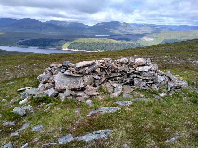
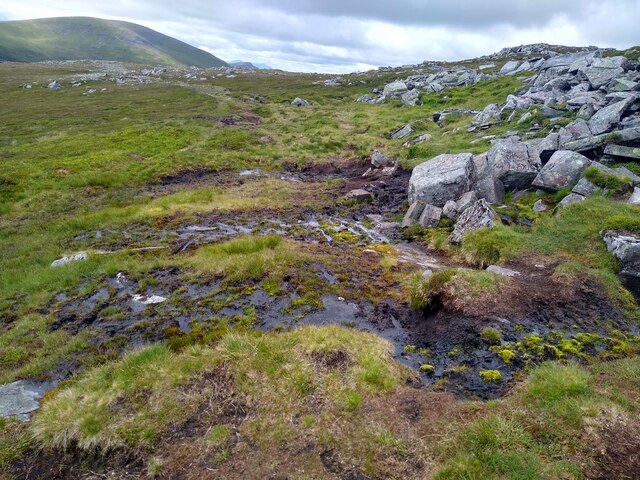
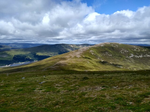
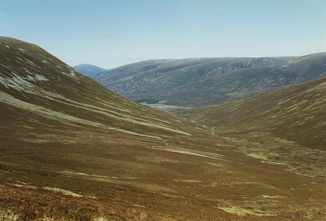
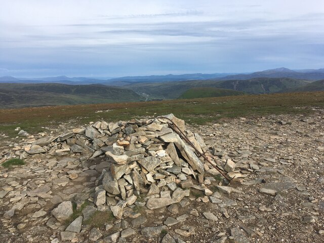
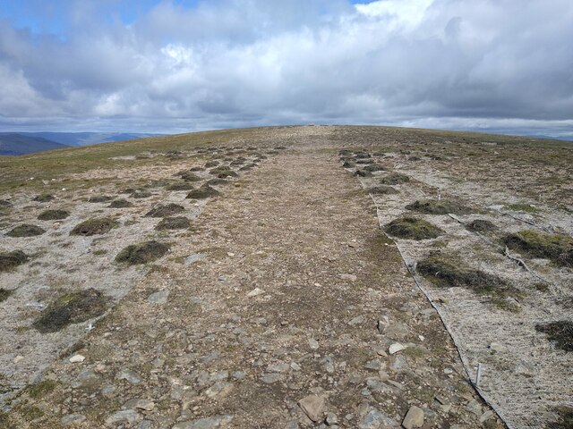
A' Mharconaich Images

Images are sourced within 2km of 56.85697/-4.290734 or Grid Reference NN6076. Thanks to Geograph Open Source API. All images are credited.

Very helpful shelter On a windy bealach, having a well constructed cairn which provides shelter to both sides is much appreciated. Loch Ericht in the background.
Very helpful shelter
On a windy bealach, having a well constructed cairn which provides shelter to both sides is much appreciated. Loch Ericht in the background.
The boggy bit The path from the bealach onto Geal-Charn passes a rocky bump. One version of the path avoids that bump, instead, it leads straight through this boggy bit.
The boggy bit
The path from the bealach onto Geal-Charn passes a rocky bump. One version of the path avoids that bump, instead, it leads straight through this boggy bit.
View across Coire Fhar View across to Geal-charn from the upper slopes of A' Mharconaich. The track up Coire Fhar is well visible.
View across Coire Fhar
View across to Geal-charn from the upper slopes of A' Mharconaich. The track up Coire Fhar is well visible.
Looking down Coire Fhàr With the useful stalkers' path making its way up through the heather, and the A9 visible in the distance.
Looking down Coire Fhàr
With the useful stalkers' path making its way up through the heather, and the A9 visible in the distance.
Geal Charn from A' Mharconaich Looking over the col at the head of Coire Fhàr to Geal Charn, from the western end of A' Mharconaich's summit ridge.
Geal Charn from A' Mharconaich
Looking over the col at the head of Coire Fhàr to Geal Charn, from the western end of A' Mharconaich's summit ridge.
Grassy slope of Coire Fhàr Coire Fhàr is a very shallow affair, hardly a corrie in anything but name; it's located on the northern flanks of the Munro, A' Mharconaich. A fragment of Loch Ericht can be seen at the right side of the image behind the two walkers and the dark peaks left of centre are Ben Alder and Beinn Bheoil. To the right of those mountains the haze of a rain shower can be seen.
Grassy slope of Coire Fhàr
Coire Fhàr is a very shallow affair, hardly a corrie in anything but name; it's located on the northern flanks of the Munro, A' Mharconaich. A fragment of Loch Ericht can be seen at the right side of the image behind the two walkers and the dark peaks left of centre are Ben Alder and Beinn Bheoil. To the right of those mountains the haze of a rain shower can be seen.
Ridge connecting A' Mharconaich with Beinn Udlamain The low point between the Munros A' Mharconaich and Beinn Udlamain is the obvious dip in the ridge. The ridge rises to A' Mharconaich summit of which lies out of view to the right of the image. Geal Charn is the rounded peak to the left; it's also a Munro.
Ridge connecting A' Mharconaich with Beinn Udlamain
The low point between the Munros A' Mharconaich and Beinn Udlamain is the obvious dip in the ridge. The ridge rises to A' Mharconaich summit of which lies out of view to the right of the image. Geal Charn is the rounded peak to the left; it's also a Munro.
New Access Road Ne Access road along Coire Dhomhain
New Access Road
Ne Access road along Coire Dhomhain
Bend on the track in Coire Fhar A zig-zag bend on the steep rise approaching the ridge south of Geal Charn.
Bend on the track in Coire Fhar
A zig-zag bend on the steep rise approaching the ridge south of Geal Charn.
Loch Ericht from Geal-charn The effort of the plod up the track from Balsporran into Coire Fhar is rewarded by the revelation of this view down the length of Loch Ericht with the Ben Alder massif beyond and the distinctive sharp ridge of Lancet Edge on Sgor Iutharn to the right.
Loch Ericht from Geal-charn
The effort of the plod up the track from Balsporran into Coire Fhar is rewarded by the revelation of this view down the length of Loch Ericht with the Ben Alder massif beyond and the distinctive sharp ridge of Lancet Edge on Sgor Iutharn to the right.
Fraoch-choire from the col below Geal-charn A corrie on the N side of Beinn Udlamain with a rough track towards it continuing from the vehicle track that ends on the col.
Fraoch-choire from the col below Geal-charn
A corrie on the N side of Beinn Udlamain with a rough track towards it continuing from the vehicle track that ends on the col.
Sgairneach Mhòr from A' Mharconaich From the lower slopes of Sgairneach Mhòr looking across to A' Mharconaich - two of the four Drumochter Pass Munros.

A bitterly cold but very clear day - Schiehallion can clearly be seen to the left of Sgairneach Mhòr at about 24km distance.
Sgairneach Mhòr from A' Mharconaich
From the lower slopes of Sgairneach Mhòr looking across to A' Mharconaich - two of the four Drumochter Pass Munros. A bitterly cold but very clear day - Schiehallion can clearly be seen to the left of Sgairneach Mhòr at about 24km distance.
Crude wind shelter atop A' Mharconaich
Erosion protection The last stretch of path to the summit of A' Mharconaich, over the windblown plateau, is protected on both sides by mesh, to hold the sparse vegetation in place.
Erosion protection
The last stretch of path to the summit of A' Mharconaich, over the windblown plateau, is protected on both sides by mesh, to hold the sparse vegetation in place.
Bog and peat banks at col The col between A' Mharconaich and the Boar of Badenoch.
Sgairneach Mhòr is the mountain beyond the wisps of mist.
Bog and peat banks at col
The col between A' Mharconaich and the Boar of Badenoch. Sgairneach Mhòr is the mountain beyond the wisps of mist.
North-west facing slope of A' Mharconaich A temperature inversion has allowed a sea of cloud to develop over Loch Ericht.
In the distance are Ben Bheòil and Ben Alder at the left side of the image. Aonach Beag is the highest among the mountains in the chain to the right.
North-west facing slope of A' Mharconaich
A temperature inversion has allowed a sea of cloud to develop over Loch Ericht. In the distance are Ben Bheòil and Ben Alder at the left side of the image. Aonach Beag is the highest among the mountains in the chain to the right.
An Torc from Dalnapsidal
The lip of Fraoch-choire Ben Alder in the background.
The lip of Fraoch-choire
Ben Alder in the background.
Show me another place!

A' Mharconaich is located at Grid Ref: NN6076 (Lat: 56.85697, Lng: -4.290734)

Unitary Authority: Highland

Police Authority: Highlands and Islands

What 3 Words

///routs.darts.emperor. Near Newtonmore, Highland

Nearby Locations

A' Mharconaich

Related Wikis

A' Mharconaich

A' Mharconaich (Scottish Gaelic: A' Mharcanaich) is a mountain near Dalwhinnie in the Scottish Highlands. It is a Munro with a height of 975 metres (3...

Pass of Drumochter

The Pass of Drumochter (Scottish Gaelic: Druim Uachdair) meaning simply 'high ridge' is the main mountain pass between the northern and southern central...

The Sow of Atholl

The Sow of Atholl (Scottish Gaelic: Meall an Dobharchain) is a Scottish hill which is situated 27 kilometres west-northwest of the town of Blair Atholl...

Sgairneach Mhòr

Sgairneach Mhòr is a Scottish mountain which lies in a group of seven Munros near the summit of the Pass of Drumochter and are known as the Drumochter...

Nearby Amenities

Located within 500m of 56.85697,-4.290734
A' Mharconaich
Description: The horse place
Ele: 975
Munro: yes
Munro Number: M179
Natural: peak
Source: NPE
Wikidata: Q3395421
Wikipedia: en:A' Mharconaich
Lat/Long: 56.8576719/-4.2898715
The data included in this document is from www.openstreetmap.org. The data is made available under ODbL.

Have you been to A' Mharconaich?

Leave your review of A' Mharconaich below (or comments, questions and feedback).