Allt Maenderyn
Downs, Moorland in Caernarfonshire
Wales
Allt Maenderyn
Allt Maenderyn is a picturesque area located in Caernarfonshire, Wales. Situated in the Downs and Moorland region, it offers breathtaking views and a serene environment.
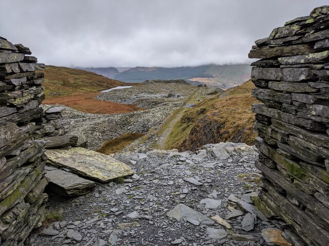
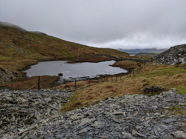
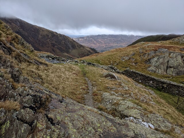
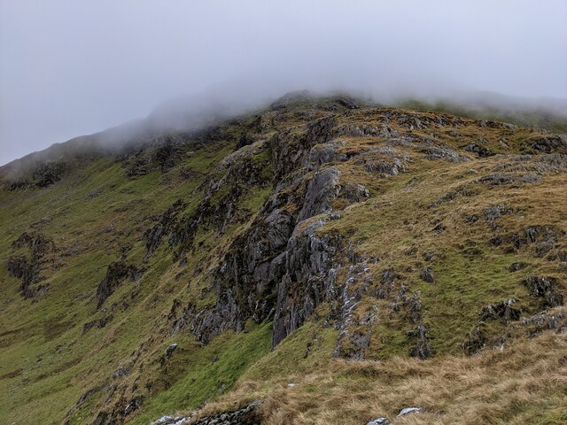
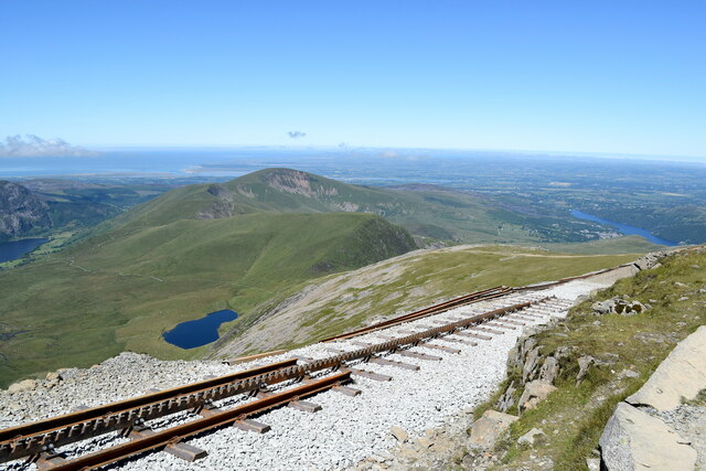
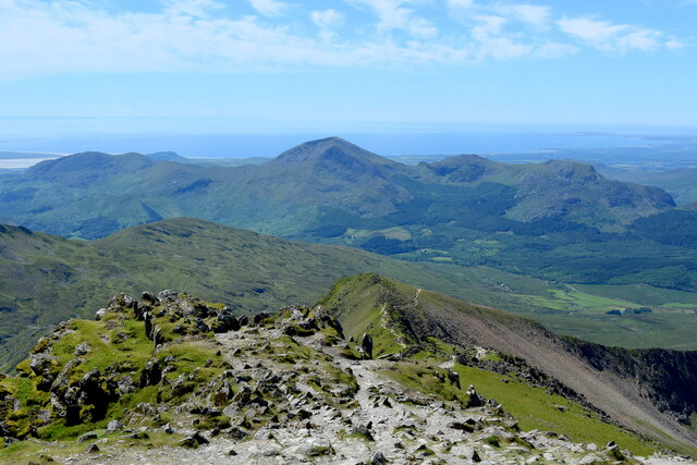
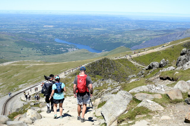
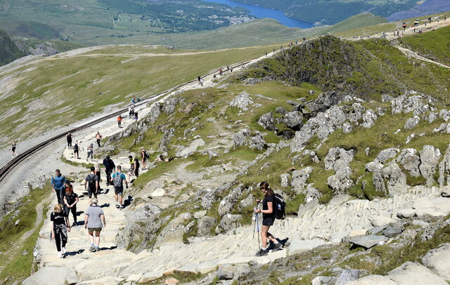
Covering an area of approximately 100 square kilometers, Allt Maenderyn is characterized by rolling hills, expansive moorlands, and lush greenery. The landscape is dotted with small streams and scattered with rocky outcrops, creating a diverse and visually captivating scene. The area is home to a variety of wildlife, including birds, mammals, and reptiles, making it a haven for nature enthusiasts and wildlife photographers.
The climate in Allt Maenderyn is typical of the region, with mild temperatures and frequent rainfall. This creates ideal conditions for the growth of a wide range of vegetation, including heather, gorse, and ferns. The area is also known for its vibrant wildflowers, which bloom throughout the summer months, adding splashes of color to the landscape.
Allt Maenderyn is a popular destination for outdoor activities such as hiking, mountain biking, and birdwatching. The network of footpaths and trails allows visitors to explore the area and discover its hidden treasures. The high vantage points provide panoramic views of the surrounding countryside, including the nearby Snowdonia National Park.
In conclusion, Allt Maenderyn is a stunning area of Caernarfonshire, offering a unique blend of natural beauty and tranquility. Whether you are seeking adventure or simply want to immerse yourself in nature, this downs and moorland region is sure to leave a lasting impression.
If you have any feedback on the listing, please let us know in the comments section below.
Allt Maenderyn Images
Images are sourced within 2km of 53.054409/-4.0860969 or Grid Reference SH6052. Thanks to Geograph Open Source API. All images are credited.


Allt Maenderyn is located at Grid Ref: SH6052 (Lat: 53.054409, Lng: -4.0860969)
Unitary Authority: Gwynedd
Police Authority: North Wales
What 3 Words
///hydration.corkscrew.cupcake. Near Llanberis, Gwynedd
Nearby Locations
Related Wikis

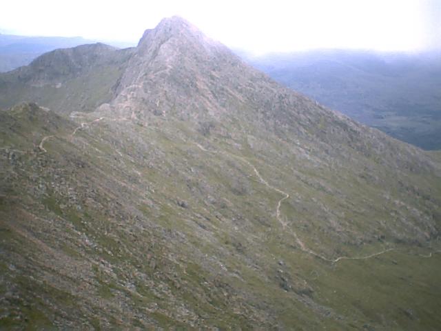
Yr Aran
Yr Aran is a mountain peak on a ridge radiating south from Snowdon, Wales' highest mountain, with beautiful views of the summit of Snowdon, Moel Hebog...
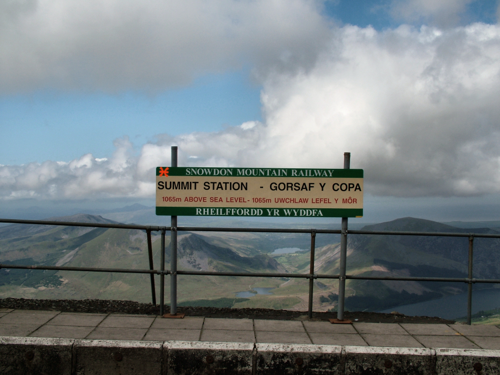
Summit railway station (Snowdon Mountain Railway)
The Summit railway station is the southern, upper terminus of the Snowdon Mountain Railway, located within yards of the summit of Snowdon. In 2009 a new...

Snowdon
Snowdon (), or Yr Wyddfa (pronounced [ər ˈʊɨ̞̯ðva] ), is the highest mountain in Wales, at an elevation of 1,085 metres (3,560 ft) above sea level, and...
Y Lliwedd
Y Lliwedd is a mountain, connected to Snowdon in the Snowdonia National Park, North Wales. Its summit lies 898 metres (2,946 ft) above sea level. The eastern...
Nearby Amenities
Located within 500m of 53.054409,-4.0860969Have you been to Allt Maenderyn?
Leave your review of Allt Maenderyn below (or comments, questions and feedback).