Moelyci

Hill, Mountain in Caernarfonshire

Wales

Moelyci

Cen llwyd / Grey lichen
Cen llwyd / Grey lichen Credit: Ceri Thomas

The requested URL returned error: 429 Too Many Requests

If you have any feedback on the listing, please let us know in the comments section below.
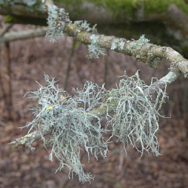
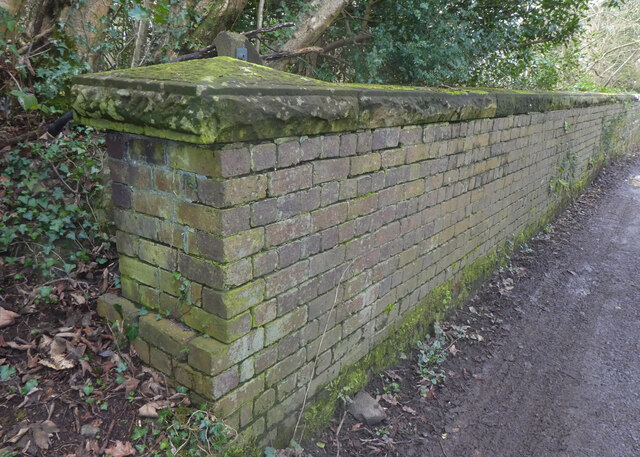
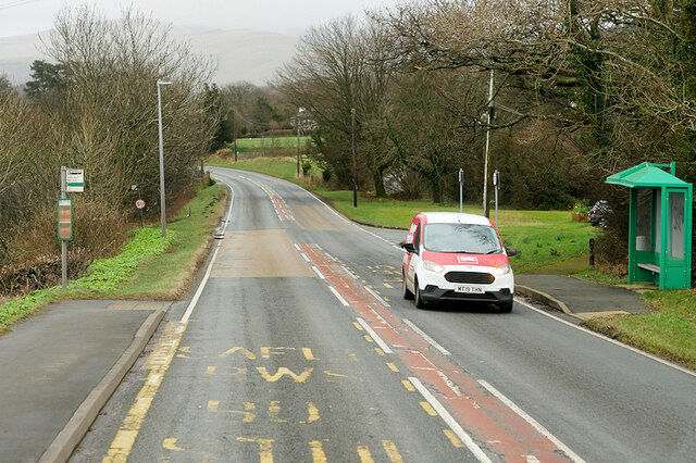
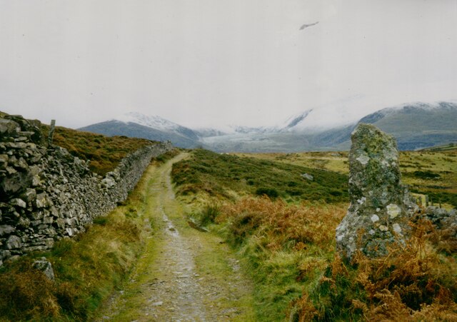
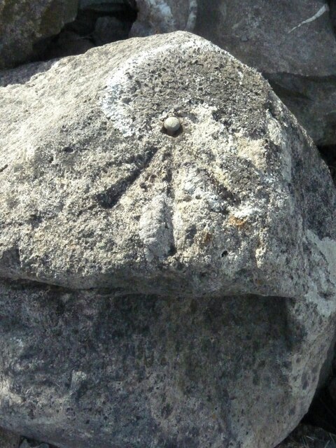
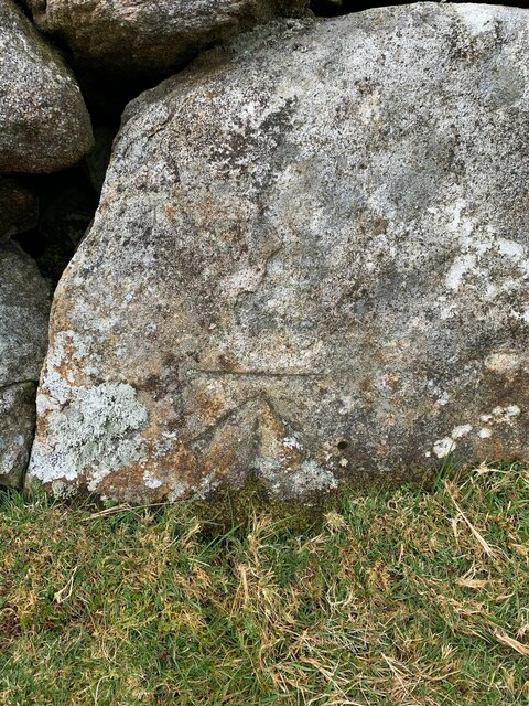
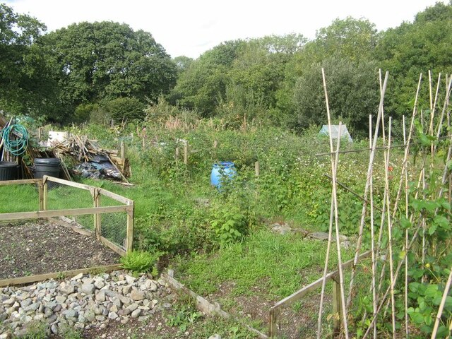
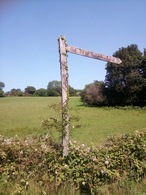
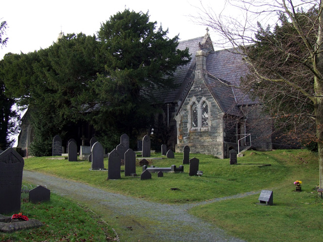
Moelyci Images

Images are sourced within 2km of 53.172072/-4.1053888 or Grid Reference SH5965. Thanks to Geograph Open Source API. All images are credited.

Cen llwyd / Grey lichen
Pont dros Lon Las Ogwen / Bridge over Lon Las Ogwen
Coedlan ger Pant-y-Cyff / Woodland near Pant-y-Cyff (1)
Coedlan ger Pant-y-Cyff / Woodland near Pant-y-Cyff (2)
Hydrant sign on telephone pole, Tregarth
A4244, Rhyd y groes Bus Stop The A4244 is a relatively short (6½ miles) rural A-road in north Caernarfonshire. It connects the A5/A55 (near the Llys-y-gwynt junction) with the A4086 at Brynrefail, just outside Llanberis.
A4244, Rhyd y groes Bus Stop
The A4244 is a relatively short (6½ miles) rural A-road in north Caernarfonshire. It connects the A5/A55 (near the Llys-y-gwynt junction) with the A4086 at Brynrefail, just outside Llanberis.
Motorcyclist on the A4244 near to Pentir
Moelyci heritage trail waymark No. 1, Tregarth
Former quarry-men's track over the flank of Moel y Ci This was used by quarrymen from Rhiwlas and Pentir districts to get to work at both the Penrhyn and Dinorwig Quarries.
Former quarry-men's track over the flank of Moel y Ci
This was used by quarrymen from Rhiwlas and Pentir districts to get to work at both the Penrhyn and Dinorwig Quarries.
Wall stile near Bwlch y Mawn The wall of the Marchlyn Mawr reservoir is visible in the background.
Wall stile near Bwlch y Mawn
The wall of the Marchlyn Mawr reservoir is visible in the background.
Rivet benchmark near Pen-y-bwlch, Mynydd Llandegai For more details see: <span class="nowrap"><a title="https://www.bench-marks.org.uk/bm114248" rel="nofollow ugc noopener" href="https://www.bench-marks.org.uk/bm114248">Link</a><img style="margin-left:2px;" alt="External link" title="External link - shift click to open in new window" src="https://s1.geograph.org.uk/img/external.png" width="10" height="10"/></span>
Rivet benchmark near Pen-y-bwlch, Mynydd Llandegai
For more details see: LinkExternal link
Benchmark at Parc Drysgol, Deiniolen For more details see: <span class="nowrap"><a title="https://www.bench-marks.org.uk/bm114246" rel="nofollow ugc noopener" href="https://www.bench-marks.org.uk/bm114246">Link</a><img style="margin-left:2px;" alt="External link" title="External link - shift click to open in new window" src="https://s1.geograph.org.uk/img/external.png" width="10" height="10"/></span>
Benchmark at Parc Drysgol, Deiniolen
For more details see: LinkExternal link
Tregarth community allotments Allotment gardens at Moelyci, where rabbits and stony soil are obvious problems.
Tregarth community allotments
Allotment gardens at Moelyci, where rabbits and stony soil are obvious problems.
Wooden fingerpost, Sling
Benchmark on boulder, Mynydd Llandegai For more details see: <span class="nowrap"><a title="https://www.bench-marks.org.uk/bm114242" rel="nofollow ugc noopener" href="https://www.bench-marks.org.uk/bm114242">Link</a><img style="margin-left:2px;" alt="External link" title="External link - shift click to open in new window" src="https://s1.geograph.org.uk/img/external.png" width="10" height="10"/></span>
Benchmark on boulder, Mynydd Llandegai
For more details see: LinkExternal link
Benchmark at 1 Craig-y-pandy, Tregarth This benchmark is located on the NE face of No. 1 Craig-y-pandy in Tregarth & it is shown in the current Ordnance Survey database at a height of 127.6685m above the Newlyn datum.
Benchmark at 1 Craig-y-pandy, Tregarth
This benchmark is located on the NE face of No. 1 Craig-y-pandy in Tregarth & it is shown in the current Ordnance Survey database at a height of 127.6685m above the Newlyn datum.
Benchmark on wall opposite Ysgol Bodfeurig, Sling This benchmark is located on the SW side of the road opposite Ysgol Bodfeurig in Sling & it is shown in the current Ordnance Survey database at a height of 227.8746m above the Newlyn datum.
Benchmark on wall opposite Ysgol Bodfeurig, Sling
This benchmark is located on the SW side of the road opposite Ysgol Bodfeurig in Sling & it is shown in the current Ordnance Survey database at a height of 227.8746m above the Newlyn datum.
Benchmark near Sling farmhouse, Sling This benchmark is located on the SW side of the road in the boundary wall of a building referred to as 'Sling farmhouse' on old maps of the area. The mark is not in the current Ordnance Survey database but is shown on an 1970-72 map of the area at a height of 189.09m above the Newlyn datum.
Benchmark near Sling farmhouse, Sling
This benchmark is located on the SW side of the road in the boundary wall of a building referred to as 'Sling farmhouse' on old maps of the area. The mark is not in the current Ordnance Survey database but is shown on an 1970-72 map of the area at a height of 189.09m above the Newlyn datum.
Show me another place!

Moelyci is located at Grid Ref: SH5965 (Lat: 53.172072, Lng: -4.1053888)

Unitary Authority: Gwynedd

Police Authority: North Wales

What 3 Words

///eternally.suffix.kilt. Near Tregarth, Gwynedd

Nearby Locations

Moelyci Parc Tan-y-bwlch

Related Wikis

Mynydd Llandygai

Mynydd Llandygái (also spelt Mynydd Llandegai, [ˌmənɨðˌɬandəˈɡai] ; from Welsh mynydd "mountain", Llandygai "Church of St Tegai") is a small, partly forested...

Aber Dinlle Fault

The Aber Dinlle Fault is a SW-NE trending fault in North Wales. It forms part of the Menai Strait Fault System, with the Berw and Dinorwic Faults. It lies...

Tregarth

Tregarth is a village near Thomas Telford's A5 London to Holyhead road between the town of Bethesda and the city of Bangor in Gwynedd, north Wales. It...

Felin Fawr Slate Works

Felin Fawr Works is a former slate works to Penrhyn Quarry Railway in Bethesda, Wales. It dates back to 1803; This is when the first mill was supposedly...

Nearby Amenities

Located within 500m of 53.172072,-4.1053888
Barrier: kissing_gate
Lat/Long: 53.176214/-4.10669
Carnedd Moelyci
Description: OS trig pillar
Ele: 396.85
Man Made: survey_point
Note: Accurate location import for imagery offset calibration. Please do not move.
Ref: S7316
Source: Ordnance Survey (OGL)
Survey Point: pillar
Tpuk Ref: TP2815
Lat/Long: 53.1731986/-4.1104838
Barrier: kissing_gate
Lat/Long: 53.1694406/-4.09944
Moelyci
Alt Name: Moel Lleucu
Ele: 410
Natural: peak
Lat/Long: 53.171982/-4.1052841
Carnedd Moelyci
Ele: 396
Natural: peak
Note: found name on www.heneb.co.uk/merionethcairns/28moelyci.html
Lat/Long: 53.1731845/-4.1104009
Barrier: kissing_gate
Lat/Long: 53.1680618/-4.1082414
The data included in this document is from www.openstreetmap.org. The data is made available under ODbL.

Have you been to Moelyci?

Leave your review of Moelyci below (or comments, questions and feedback).