Parc Tan-y-bwlch

Wood, Forest in Caernarfonshire

Wales

Parc Tan-y-bwlch

The Rhydd-dir  Mawnog y Gof forestry plantation This is a comparatively new plantation.
The Rhydd-dir Mawnog y Gof forestry plantation Credit: Eric Jones

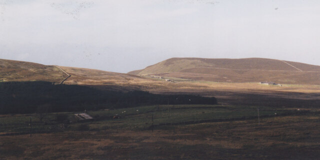
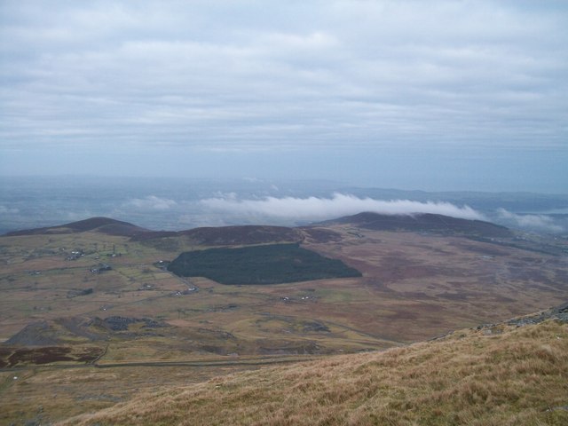
Parc Tan-y-bwlch is a stunning 200-acre woodland located in Caernarfonshire, Wales. Situated near the village of Maentwrog, this picturesque forest attracts nature enthusiasts and outdoor adventurers alike.

The woodland is known for its diverse range of trees, including oak, beech, and coniferous species. This creates a rich and vibrant ecosystem, providing a haven for a wide variety of wildlife. Birdwatchers will be delighted to spot species such as the pied flycatcher, redstart, and wood warbler, among many others.

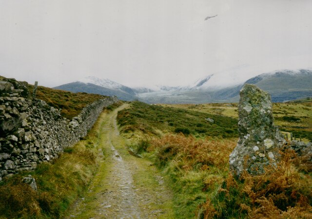
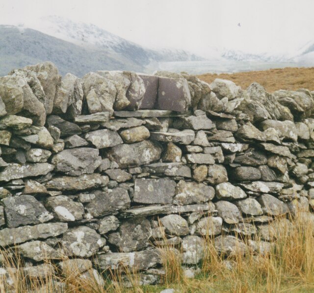
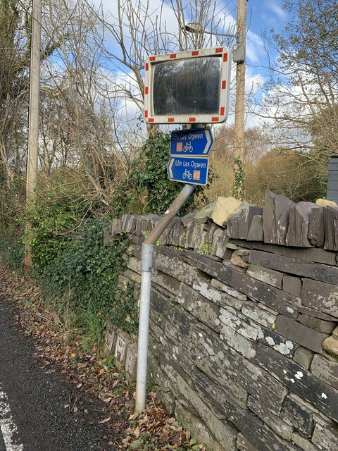
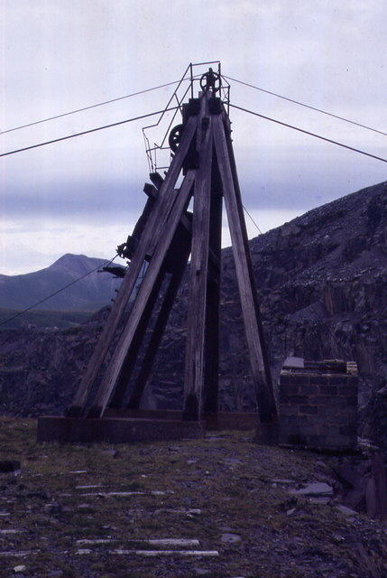
Visitors can explore the forest via a network of well-maintained footpaths and trails, offering scenic views of the surrounding landscapes. The paths wind through the dense woodland, leading to hidden lakes, cascading waterfalls, and charming picnic spots. The area is also home to several historic features, including the Hafod-y-Llyn Mine and the 13th-century Harlech Castle, adding an element of cultural significance to the experience.

Parc Tan-y-bwlch is a popular destination for outdoor activities such as hiking, mountain biking, and nature walks. The forest provides a peaceful and serene environment, allowing visitors to immerse themselves in nature and escape the hustle and bustle of everyday life.

With its stunning natural beauty and abundance of wildlife, Parc Tan-y-bwlch is a must-visit destination for those seeking a tranquil retreat and an opportunity to reconnect with nature.

If you have any feedback on the listing, please let us know in the comments section below.

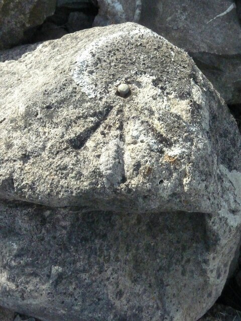
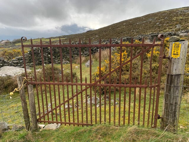
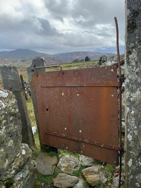
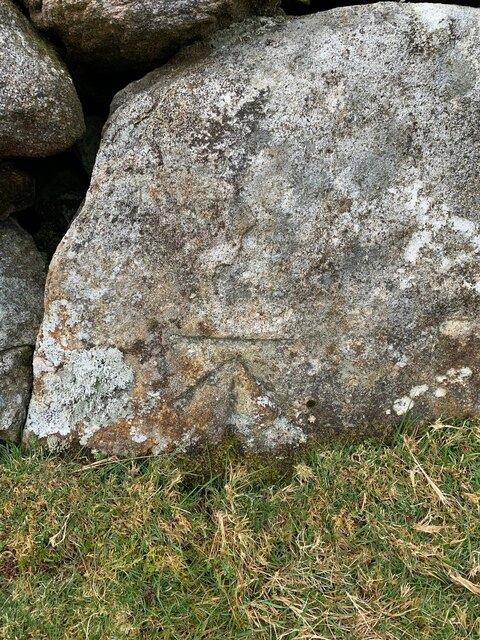
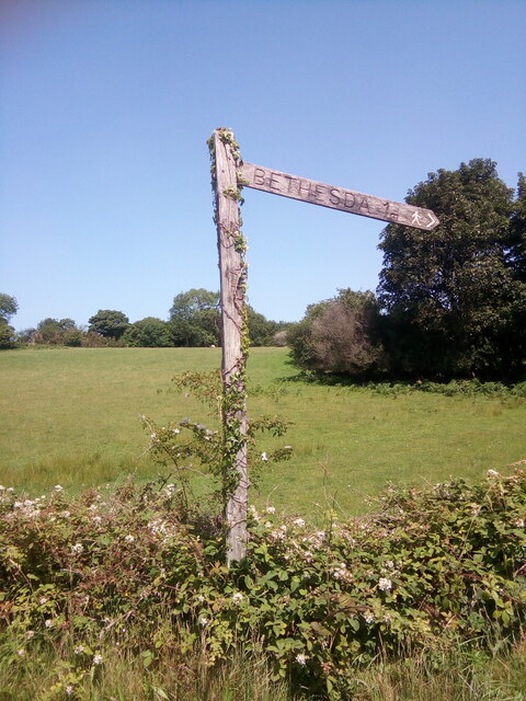
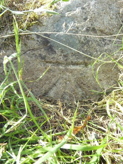
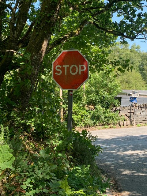
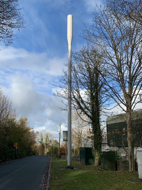
Parc Tan-y-bwlch Images

Images are sourced within 2km of 53.167322/-4.096374 or Grid Reference SH5965. Thanks to Geograph Open Source API. All images are credited.

The Rhydd-dir  Mawnog y Gof forestry plantation This is a comparatively new plantation.
The Rhydd-dir Mawnog y Gof forestry plantation
This is a comparatively new plantation.
Former quarry-men's track over the flank of Moel y Ci This was used by quarrymen from Rhiwlas and Pentir districts to get to work at both the Penrhyn and Dinorwig Quarries.
Former quarry-men's track over the flank of Moel y Ci
This was used by quarrymen from Rhiwlas and Pentir districts to get to work at both the Penrhyn and Dinorwig Quarries.
Wall stile near Bwlch y Mawn The wall of the Marchlyn Mawr reservoir is visible in the background.
Wall stile near Bwlch y Mawn
The wall of the Marchlyn Mawr reservoir is visible in the background.
Benchmark on slate gatepost near Fridd-dir, Deiniolen For more details see: <span class="nowrap"><a title="https://www.bench-marks.org.uk/bm114245" rel="nofollow ugc noopener" href="https://www.bench-marks.org.uk/bm114245">Link</a><img style="margin-left:2px;" alt="External link" title="External link - shift click to open in new window" src="https://s1.geograph.org.uk/img/external.png" width="10" height="10"/></span>
Benchmark on slate gatepost near Fridd-dir, Deiniolen
For more details see: LinkExternal link
Rivet benchmark near Pen-y-bwlch, Mynydd Llandegai For more details see: <span class="nowrap"><a title="https://www.bench-marks.org.uk/bm114248" rel="nofollow ugc noopener" href="https://www.bench-marks.org.uk/bm114248">Link</a><img style="margin-left:2px;" alt="External link" title="External link - shift click to open in new window" src="https://s1.geograph.org.uk/img/external.png" width="10" height="10"/></span>
Rivet benchmark near Pen-y-bwlch, Mynydd Llandegai
For more details see: LinkExternal link
Gate into field and onto footpath, Deiniolen
Gate on footpath, Deiniolen
Benchmark at Parc Drysgol, Deiniolen For more details see: <span class="nowrap"><a title="https://www.bench-marks.org.uk/bm114246" rel="nofollow ugc noopener" href="https://www.bench-marks.org.uk/bm114246">Link</a><img style="margin-left:2px;" alt="External link" title="External link - shift click to open in new window" src="https://s1.geograph.org.uk/img/external.png" width="10" height="10"/></span>
Benchmark at Parc Drysgol, Deiniolen
For more details see: LinkExternal link
Wooden fingerpost, Sling
Benchmark on boulder, Mynydd Llandegai For more details see: <span class="nowrap"><a title="https://www.bench-marks.org.uk/bm114242" rel="nofollow ugc noopener" href="https://www.bench-marks.org.uk/bm114242">Link</a><img style="margin-left:2px;" alt="External link" title="External link - shift click to open in new window" src="https://s1.geograph.org.uk/img/external.png" width="10" height="10"/></span>
Benchmark on boulder, Mynydd Llandegai
For more details see: LinkExternal link
Stop sign at the junction of Allt Bryn Eglwys and the B4409, Tanysgafell
Mobile phone mast, Tanysgafell
Traffic mirror at road junction, Tanysgafell
Rivet benchmark on bridge, Coed-y-parc This rivet benchmark is located on a bridge at Coed-y-parc & it is shown in the current Ordnance Survey database at a height of 159.8676m above the Newlyn datum.
Rivet benchmark on bridge, Coed-y-parc
This rivet benchmark is located on a bridge at Coed-y-parc & it is shown in the current Ordnance Survey database at a height of 159.8676m above the Newlyn datum.
Benchmark on wall opposite Ysgol Bodfeurig, Sling This benchmark is located on the SW side of the road opposite Ysgol Bodfeurig in Sling & it is shown in the current Ordnance Survey database at a height of 227.8746m above the Newlyn datum.
Benchmark on wall opposite Ysgol Bodfeurig, Sling
This benchmark is located on the SW side of the road opposite Ysgol Bodfeurig in Sling & it is shown in the current Ordnance Survey database at a height of 227.8746m above the Newlyn datum.
Benchmark near Sling farmhouse, Sling This benchmark is located on the SW side of the road in the boundary wall of a building referred to as 'Sling farmhouse' on old maps of the area. The mark is not in the current Ordnance Survey database but is shown on an 1970-72 map of the area at a height of 189.09m above the Newlyn datum.
Benchmark near Sling farmhouse, Sling
This benchmark is located on the SW side of the road in the boundary wall of a building referred to as 'Sling farmhouse' on old maps of the area. The mark is not in the current Ordnance Survey database but is shown on an 1970-72 map of the area at a height of 189.09m above the Newlyn datum.
Blondin, Penrhyn Quarry Yr Elen in far distance.  The overhead cableways were named Blondins after the famous tightrope walker who crossed the Niagra Falls in 1859.  These have gone since the development of the upper quarry.
Blondin, Penrhyn Quarry
Yr Elen in far distance. The overhead cableways were named Blondins after the famous tightrope walker who crossed the Niagra Falls in 1859. These have gone since the development of the upper quarry.
The Mawnog y Gof and Marchlyn Quarry from the upper slopes of Elidir Fach Mawnog y Gof is the flat upland bog between the pre-Cambrian foothills and the Cambrian Elidir Fach.
The Mawnog y Gof and Marchlyn Quarry from the upper slopes of Elidir Fach
Mawnog y Gof is the flat upland bog between the pre-Cambrian foothills and the Cambrian Elidir Fach.
Show me another place!

Parc Tan-y-bwlch is located at Grid Ref: SH5965 (Lat: 53.167322, Lng: -4.096374)

Unitary Authority: Gwynedd

Police Authority: North Wales

What 3 Words

///regulator.rivals.equipment. Near Tregarth, Gwynedd

Nearby Locations

Moelyci Parc Tan-y-bwlch

Related Wikis

Mynydd Llandygai

Mynydd Llandygái (also spelt Mynydd Llandegai, [ˌmənɨðˌɬandəˈɡai] ; from Welsh mynydd "mountain", Llandygai "Church of St Tegai") is a small, partly forested...

Felin Fawr Slate Works

Felin Fawr Works is a former slate works to Penrhyn Quarry Railway in Bethesda, Wales. It dates back to 1803; This is when the first mill was supposedly...

Penrhyn quarry

The Penrhyn quarry is a slate quarry located near Bethesda, North Wales. At the end of the nineteenth century it was the world's largest slate quarry;...

Bethesda railway station

Bethesda railway station was a station in Bethesda, Gwynedd, Wales. == History == The station was opened by the London and North Western Railway on 1 July...

Tregarth

Tregarth is a village near Thomas Telford's A5 London to Holyhead road between the town of Bethesda and the city of Bangor in Gwynedd, north Wales. It...

Aber Dinlle Fault

The Aber Dinlle Fault is a SW-NE trending fault in North Wales. It forms part of the Menai Strait Fault System, with the Berw and Dinorwic Faults. It lies...

Tregarth railway station

Tregarth railway station is a disused railway station in Gwynedd, Wales. It was located on the Bethesda Branch line, just north of the village of Tregarth...

Ogwen (electoral ward)

Ogwen is the name of an electoral ward covering part of the village and community of Bethesda in Gwynedd, Wales. It elects councillors to the community...

Nearby Amenities

Located within 500m of 53.167322,-4.096374
Mynydd Llandygái
Name Cy: Mynydd Llandygái
Name En: Mynydd Llandygai
Place: village
Wikidata: Q6947857
Wikipedia: en:Mynydd Llandygai
Lat/Long: 53.1687025/-4.091022
Post Box
Ref: LL57 180
Lat/Long: 53.1675193/-4.0913137
Barrier: kissing_gate
Lat/Long: 53.1694406/-4.09944
Direction: SW
Generator Method: photovoltaic
Generator Output Electricity: yes
Generator Solar Modules: 10
Generator Source: solar
Generator Type: solar_photovoltaic_panel
Location: roof
Power: generator
Lat/Long: 53.1715565/-4.0949124
Direction: SE
Generator Method: photovoltaic
Generator Output Electricity: yes
Generator Solar Modules: 2
Generator Source: solar
Generator Type: solar_photovoltaic_panel
Location: roof
Power: generator
Lat/Long: 53.168994/-4.0971038
Direction: SE
Generator Method: photovoltaic
Generator Output Electricity: yes
Generator Solar Modules: 2
Generator Source: solar
Generator Type: solar_photovoltaic_panel
Location: roof
Power: generator
Lat/Long: 53.1689811/-4.0970736
Direction: SE
Generator Method: photovoltaic
Generator Output Electricity: yes
Generator Solar Modules: 3
Generator Source: solar
Generator Type: solar_photovoltaic_panel
Location: roof
Power: generator
Lat/Long: 53.1689602/-4.0971132
Direction: SE
Generator Method: photovoltaic
Generator Output Electricity: yes
Generator Solar Modules: 3
Generator Source: solar
Generator Type: solar_photovoltaic_panel
Location: roof
Power: generator
Lat/Long: 53.1689257/-4.0971661
Direction: SE
Generator Method: photovoltaic
Generator Output Electricity: yes
Generator Solar Modules: 6
Generator Source: solar
Generator Type: solar_photovoltaic_panel
Location: roof
Power: generator
Lat/Long: 53.1689562/-4.0971681
Direction: SW
Generator Method: photovoltaic
Generator Output Electricity: yes
Generator Solar Modules: 16
Generator Source: solar
Generator Type: solar_photovoltaic_panel
Location: roof
Power: generator
Lat/Long: 53.1673021/-4.0941077
The data included in this document is from www.openstreetmap.org. The data is made available under ODbL.

Have you been to Parc Tan-y-bwlch?

Leave your review of Parc Tan-y-bwlch below (or comments, questions and feedback).