Cairn Ardachy
Hill, Mountain in Inverness-shire
Scotland
Cairn Ardachy
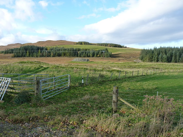
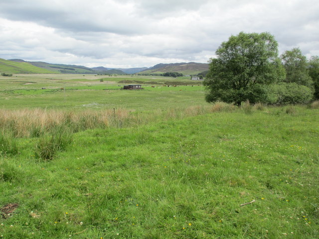
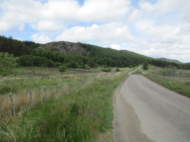
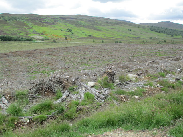
Cairn Ardachy is a prominent hill located in Inverness-shire, Scotland. Standing at an elevation of approximately 806 meters (2,644 feet), it is a popular destination for hikers, nature enthusiasts, and outdoor adventurers.
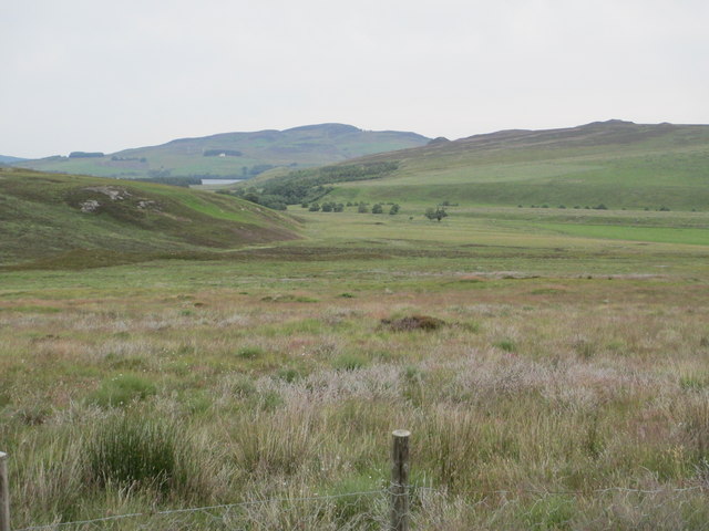
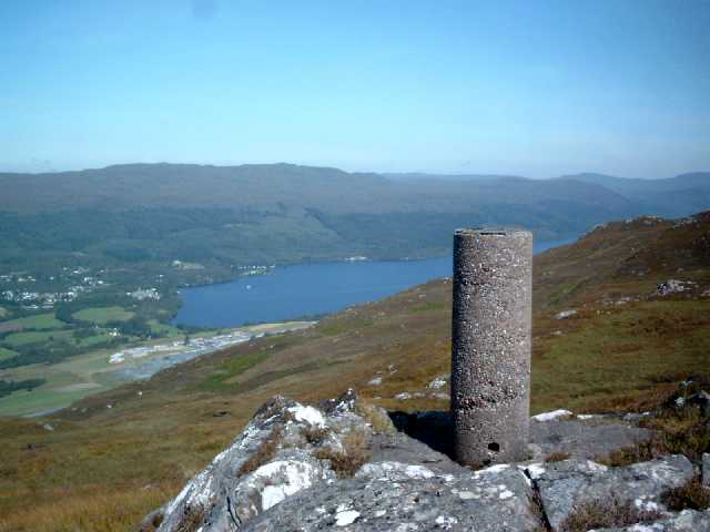
The hill is situated in a picturesque location, offering stunning panoramic views of the surrounding countryside, including the nearby Loch Ness and the Great Glen. Its strategic position provides visitors with a unique opportunity to marvel at the natural beauty of the Scottish Highlands.
Cairn Ardachy is known for its rugged terrain, characterized by rocky outcrops and heather-clad slopes. Hikers can choose from various routes to reach the summit, each offering its own challenges and rewards. The climb can be demanding, but the breathtaking vistas awaiting at the top make it all worthwhile.
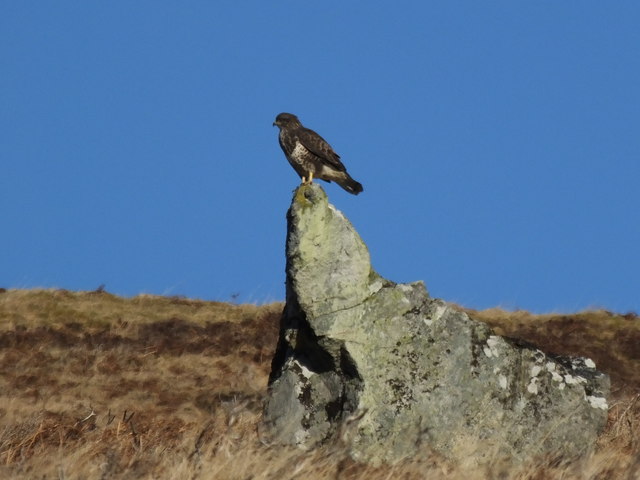
The hill is home to a diverse range of flora and fauna, including several species of birds, mammals, and plant life. It is not uncommon to spot golden eagles soaring overhead or red deer grazing in the surrounding valleys.
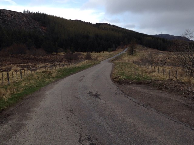
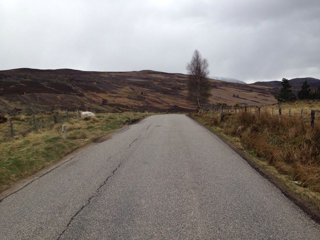
Many visitors choose to explore Cairn Ardachy as part of a larger hiking expedition, taking advantage of the numerous trails and paths that wind through the surrounding area. The hill's accessibility and proximity to other popular attractions make it a must-visit destination for outdoor enthusiasts visiting Inverness-shire.
Whether you are an experienced hiker seeking a thrilling challenge or simply looking to immerse yourself in the beauty of the Scottish Highlands, Cairn Ardachy offers a truly memorable experience.
If you have any feedback on the listing, please let us know in the comments section below.
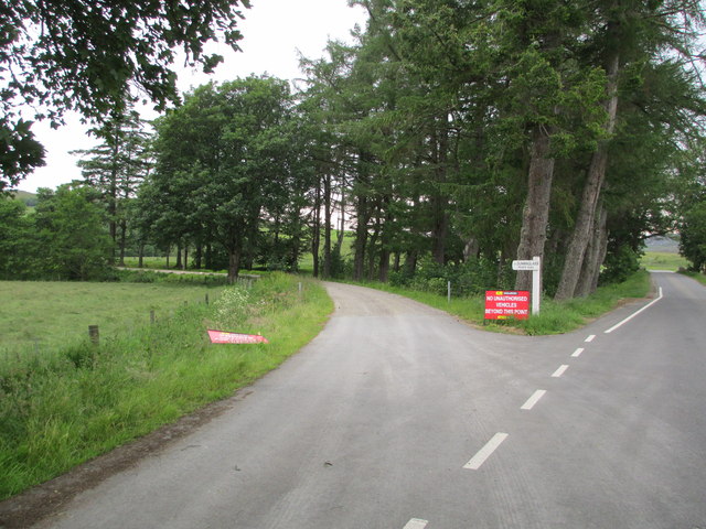
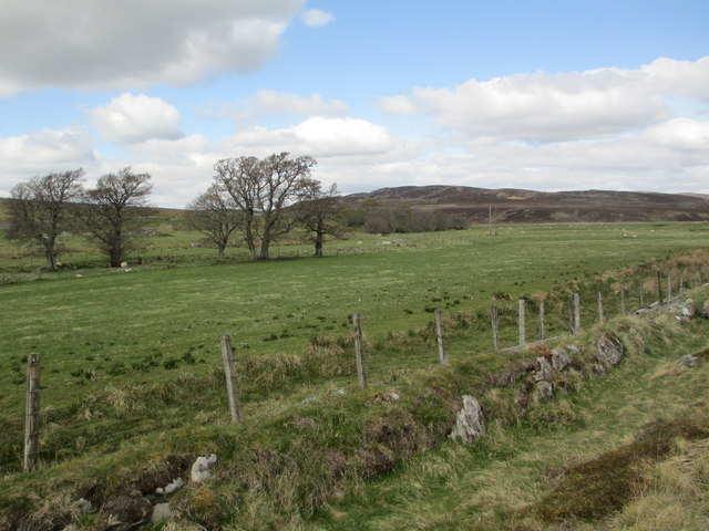
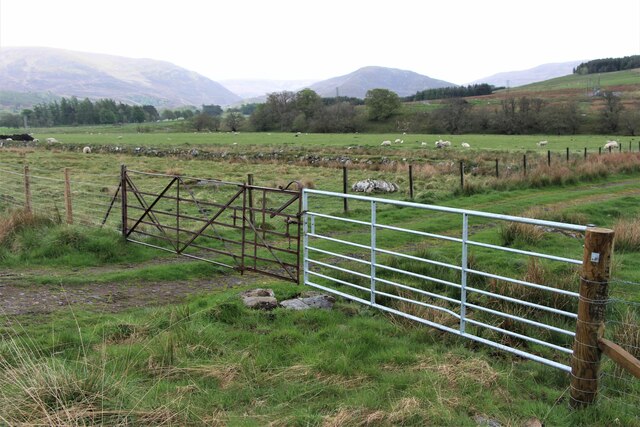
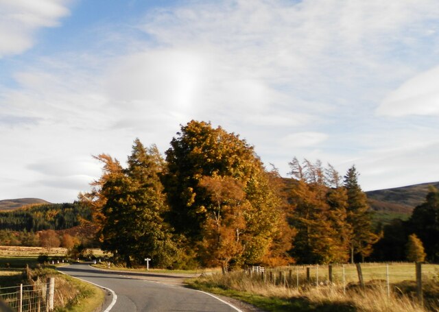
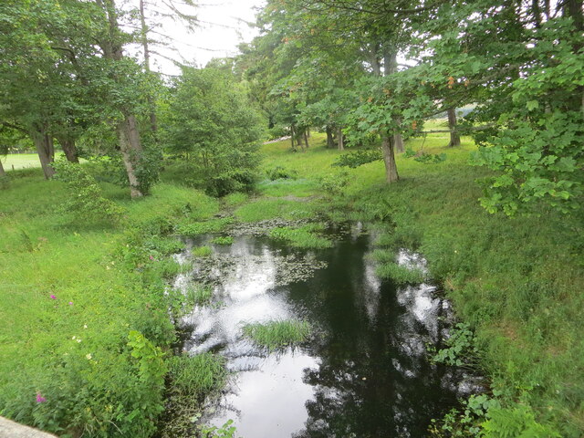
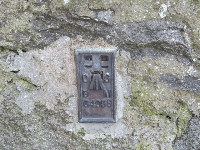
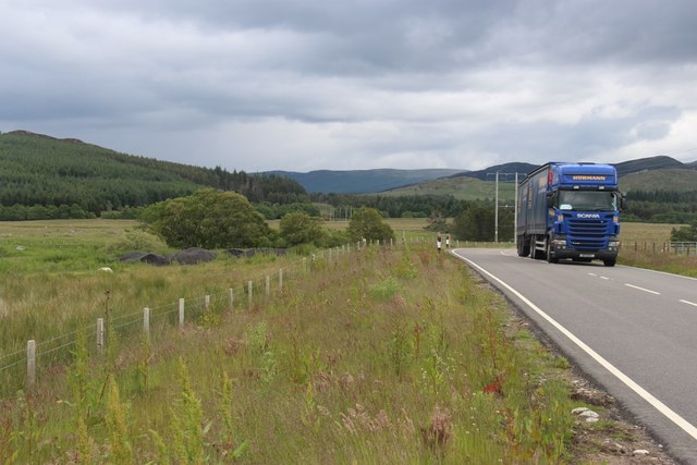
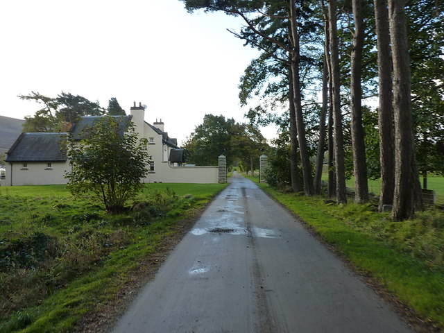
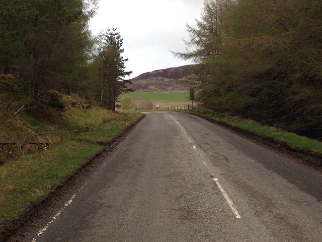
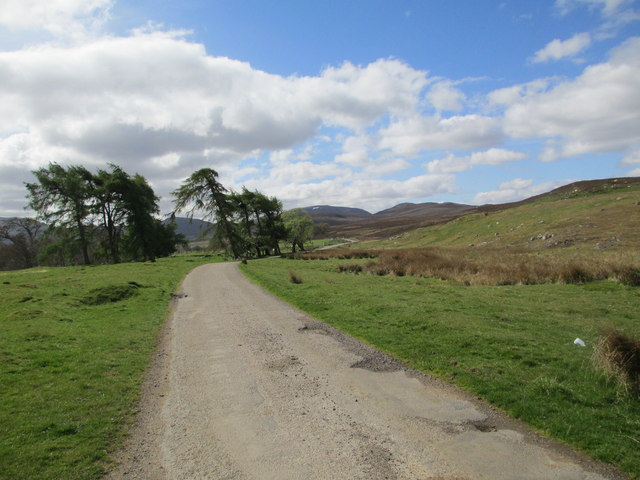
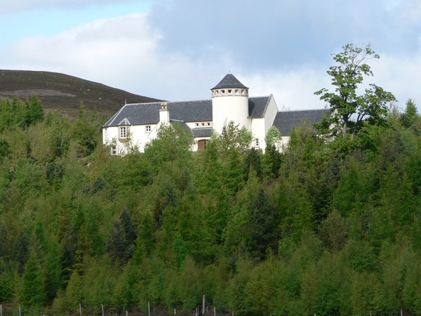
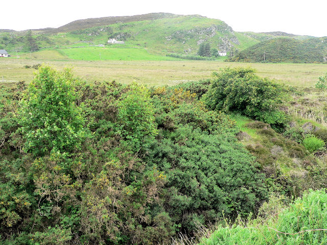
Cairn Ardachy Images
Images are sourced within 2km of 57.297371/-4.3441308 or Grid Reference NH5825. Thanks to Geograph Open Source API. All images are credited.
Cairn Ardachy is located at Grid Ref: NH5825 (Lat: 57.297371, Lng: -4.3441308)
Unitary Authority: Highland
Police Authority: Highlands and Islands
What 3 Words
///fencing.jaunts.nightcap. Near Drumnadrochit, Highland
Nearby Locations
Related Wikis
Dunmaglass, Scotland
Dunmaglass is a shooting estate of about 14,000 acres (5,700 ha) in the Monadhliath Mountains of Scotland. It is located around 15 miles (24 km) south...

Loch Ruthven
Loch Ruthven is a large loch which lies to the southeast of Loch Ness in the Highland region of Scotland. It is 2.25 miles (3.62 km) long, extends over...

Aberarder
Aberarder (Scottish Gaelic: Obar Àrdair) is a hamlet to the south of Loch Ruthven, Scottish Highlands and is in the Scottish council area of Highland....

Errogie
Errogie (Scottish Gaelic: Earagaidh) is a small linear settlement situated at the north east end of Loch Mhòr in Inverness-shire, Scottish Highlands and...
Achnabat
Achnabat is a small crofting settlement, on the B862, in Inverness-shire, Scotland, within the Scottish council area of Highland. == References ==
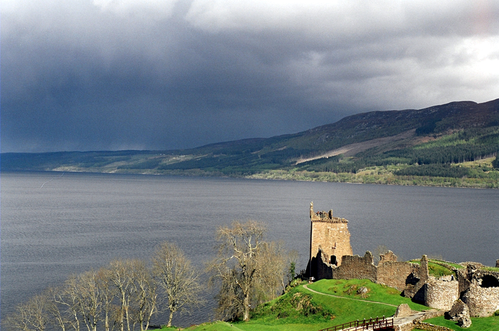
Loch Ness
Loch Ness (; Scottish Gaelic: Loch Nis [l̪ˠɔx ˈniʃ]) is a large freshwater loch in the Scottish Highlands extending for approximately 37 kilometres (23...
Great Glen
The Great Glen (Scottish Gaelic: An Gleann Mòr [an ˈklaun̪ˠ ˈmoːɾ]), also known as Glen Albyn (from the Gaelic Gleann Albainn "Glen of Scotland" [ˈklaun...

Gorthleck
Gorthleck (Scottish Gaelic: Goirtlig) is a small hamlet on the north shore Loch Mhòr in Inverness-shire, Scottish Highlands and is in the Scottish council...
Nearby Amenities
Located within 500m of 57.297371,-4.3441308Have you been to Cairn Ardachy?
Leave your review of Cairn Ardachy below (or comments, questions and feedback).