Doire a' Mhadaidh-ruaidh
Wood, Forest in Inverness-shire
Scotland
Doire a' Mhadaidh-ruaidh
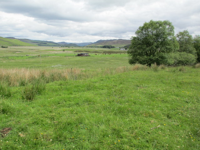
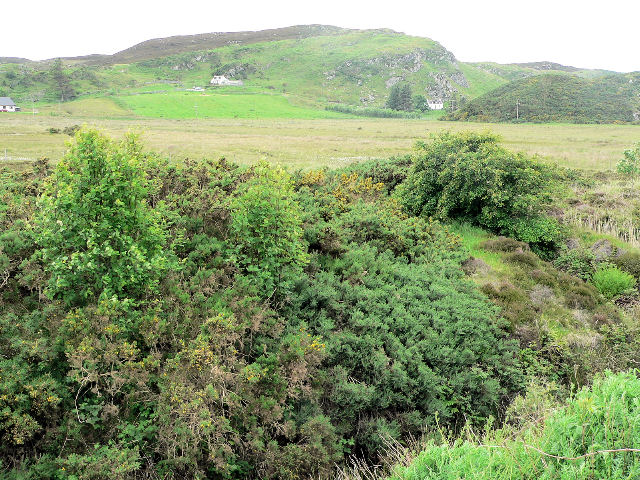
Doire a' Mhadaidh-ruaidh, located in Inverness-shire, Scotland, is a picturesque woodland area known for its natural beauty and diverse flora and fauna. The name itself translates to "Wood of the Red Fox" in Gaelic, reflecting the wildlife that inhabits the region.
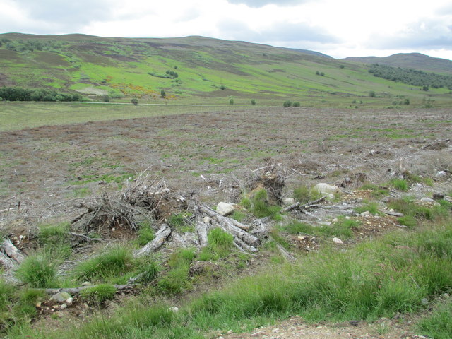
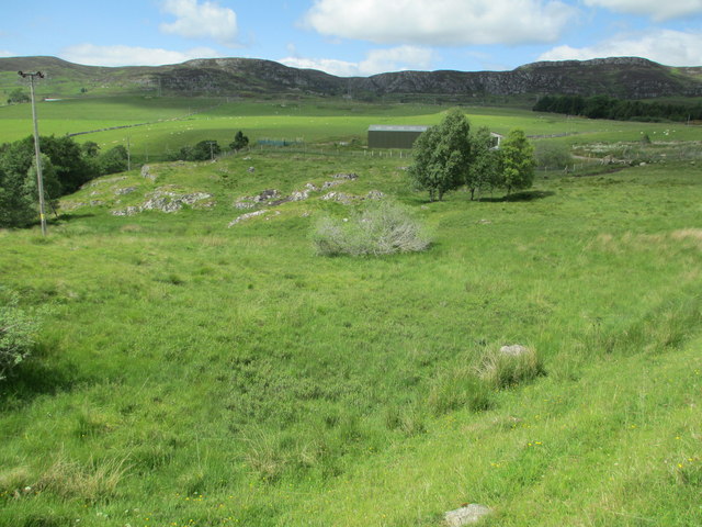
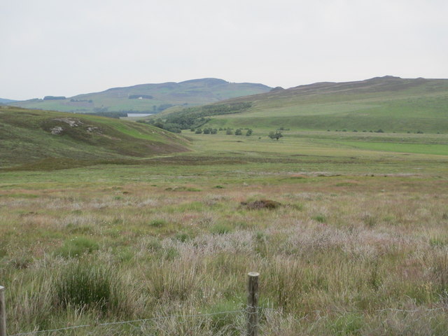
This woodland is situated near the village of Invermoriston, approximately 15 miles southwest of Inverness. It covers a vast area of lush greenery and is surrounded by rolling hills and the meandering River Moriston. The combination of the woodland's location and its diverse terrain creates a unique ecosystem that supports a wide range of plant and animal species.
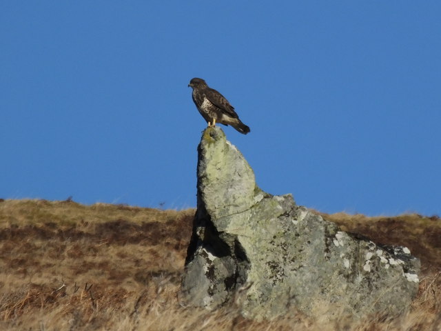
Doire a' Mhadaidh-ruaidh is home to various types of trees, including birch, oak, and pine, which add to the area's natural beauty. These trees provide a habitat for a variety of wildlife, such as red deer, roe deer, badgers, and, of course, the red foxes that inspired its name. The woodland is also a popular spot for birdwatchers, as it attracts a variety of bird species, including golden eagles, ospreys, and various woodland birds.
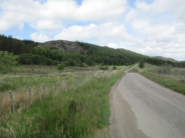
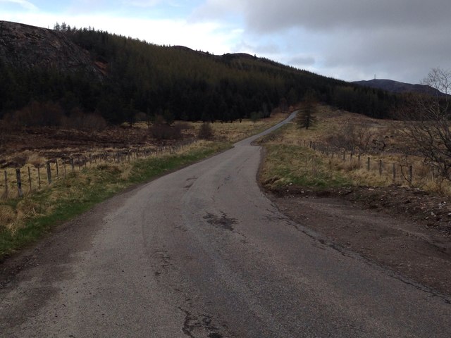
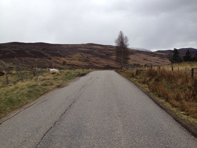
For nature enthusiasts, Doire a' Mhadaidh-ruaidh offers the opportunity to explore its numerous walking trails, which wind through the woodland and provide stunning views of the surrounding landscape. These trails allow visitors to immerse themselves in the tranquility of the woodland, listening to the sounds of birdsong and the rustling of leaves.
Overall, Doire a' Mhadaidh-ruaidh is a captivating woodland area in Inverness-shire, offering a peaceful escape for those seeking a connection with nature and a chance to spot some of Scotland's iconic wildlife.
If you have any feedback on the listing, please let us know in the comments section below.
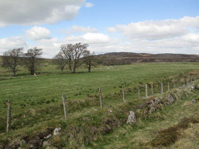
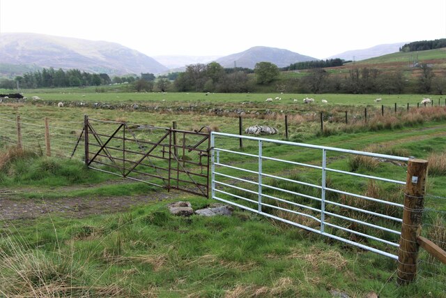
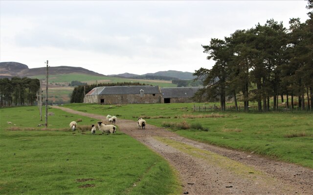
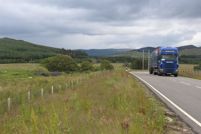
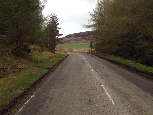
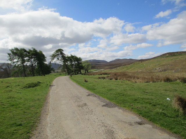
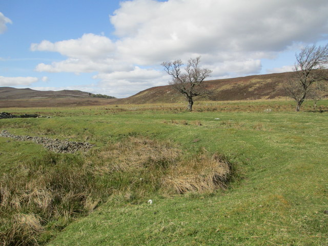
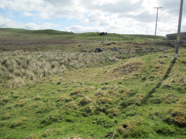
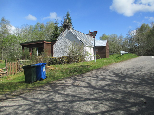
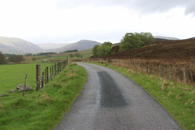
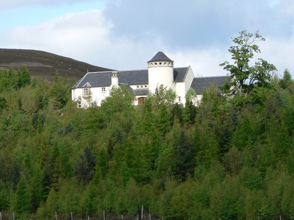
Doire a' Mhadaidh-ruaidh Images
Images are sourced within 2km of 57.300172/-4.3471644 or Grid Reference NH5825. Thanks to Geograph Open Source API. All images are credited.
Doire a' Mhadaidh-ruaidh is located at Grid Ref: NH5825 (Lat: 57.300172, Lng: -4.3471644)
Unitary Authority: Highland
Police Authority: Highlands and Islands
What 3 Words
///interviewer.stereos.campus. Near Drumnadrochit, Highland
Nearby Locations
Related Wikis

Loch Ruthven
Loch Ruthven is a large loch which lies to the southeast of Loch Ness in the Highland region of Scotland. It is 2.25 miles (3.62 km) long, extends over...
Dunmaglass, Scotland
Dunmaglass is a shooting estate of about 14,000 acres (5,700 ha) in the Monadhliath Mountains of Scotland. It is located around 15 miles (24 km) south...
Achnabat
Achnabat is a small crofting settlement, on the B862, in Inverness-shire, Scotland, within the Scottish council area of Highland. == References ==

Errogie
Errogie (Scottish Gaelic: Earagaidh) is a small linear settlement situated at the north east end of Loch Mhòr in Inverness-shire, Scottish Highlands and...
Nearby Amenities
Located within 500m of 57.300172,-4.3471644Have you been to Doire a' Mhadaidh-ruaidh?
Leave your review of Doire a' Mhadaidh-ruaidh below (or comments, questions and feedback).