Loch Ericht Forest
Wood, Forest in Inverness-shire
Scotland
Loch Ericht Forest

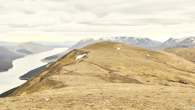
Loch Ericht Forest, located in Inverness-shire, Scotland, is a stunning woodland area that spans across a vast area of approximately 35,000 acres. Situated on the southern shores of Loch Ericht, this forest is a haven of natural beauty and tranquility.
The forest is primarily composed of native Scottish trees, including Scots pine, birch, and oak, which create a diverse and enchanting landscape. The woodland is home to a rich variety of flora and fauna, including deer, red squirrels, and a wide range of bird species, making it a popular destination for nature enthusiasts and wildlife photographers.
The forest offers a network of well-maintained trails and paths, allowing visitors to explore the area and immerse themselves in its natural wonders. There are several viewpoints and picnic spots strategically placed throughout the forest, providing breathtaking panoramic views of the surrounding loch and mountains.
In addition to its natural beauty, Loch Ericht Forest also has historical significance. It was once part of the Caledonian Forest, which covered large parts of Scotland thousands of years ago. The forest is also home to remnants of ancient settlements and ruins, adding an element of mystery and intrigue to the area.
Whether visitors are looking for a peaceful walk in nature, a chance to spot wildlife, or an opportunity to learn about Scotland's rich history, Loch Ericht Forest offers an unforgettable experience. With its stunning landscapes, diverse flora and fauna, and historical significance, it is truly a gem of Inverness-shire.
If you have any feedback on the listing, please let us know in the comments section below.
Loch Ericht Forest Images
Images are sourced within 2km of 56.894601/-4.321116 or Grid Reference NN5880. Thanks to Geograph Open Source API. All images are credited.


Loch Ericht Forest is located at Grid Ref: NN5880 (Lat: 56.894601, Lng: -4.321116)
Unitary Authority: Highland
Police Authority: Highlands and Islands
What 3 Words
///blanks.learn.approvals. Near Newtonmore, Highland
Nearby Locations
Related Wikis

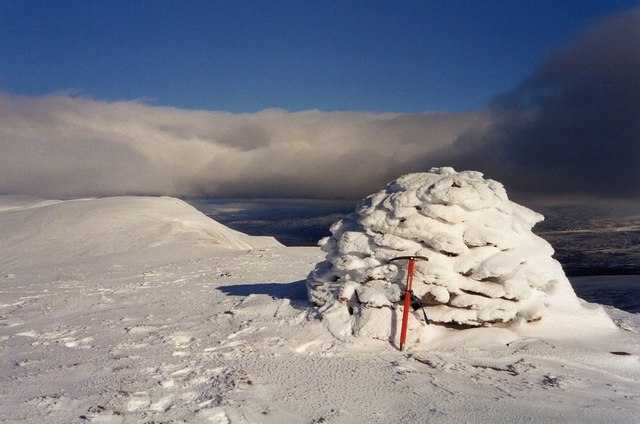
The Fara
The Fara (911 m) is a mountain in the Grampian Mountains, Scotland, on the shore of Loch Ericht near the village of Dalwhinnie. A large and bulky mountain...

A' Mharconaich
A' Mharconaich (Scottish Gaelic: A' Mharcanaich) is a mountain near Dalwhinnie in the Scottish Highlands. It is a Munro with a height of 975 metres (3...

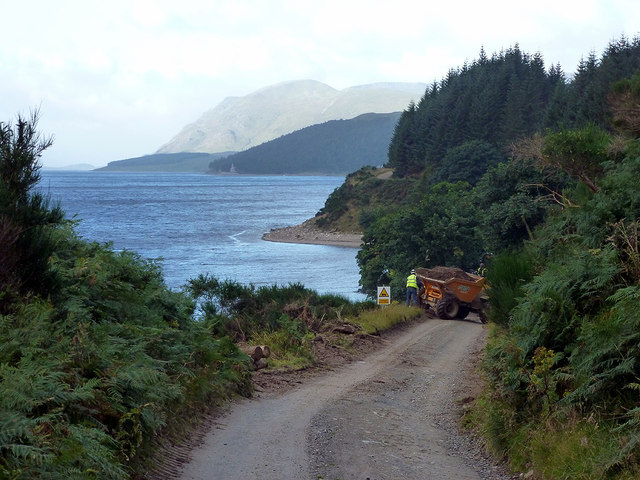
Loch Ericht
Loch Ericht (Scottish Gaelic: Loch Eireachd) is a freshwater loch on the border between the former Perthshire, now Perth and Kinross and the former Inverness...
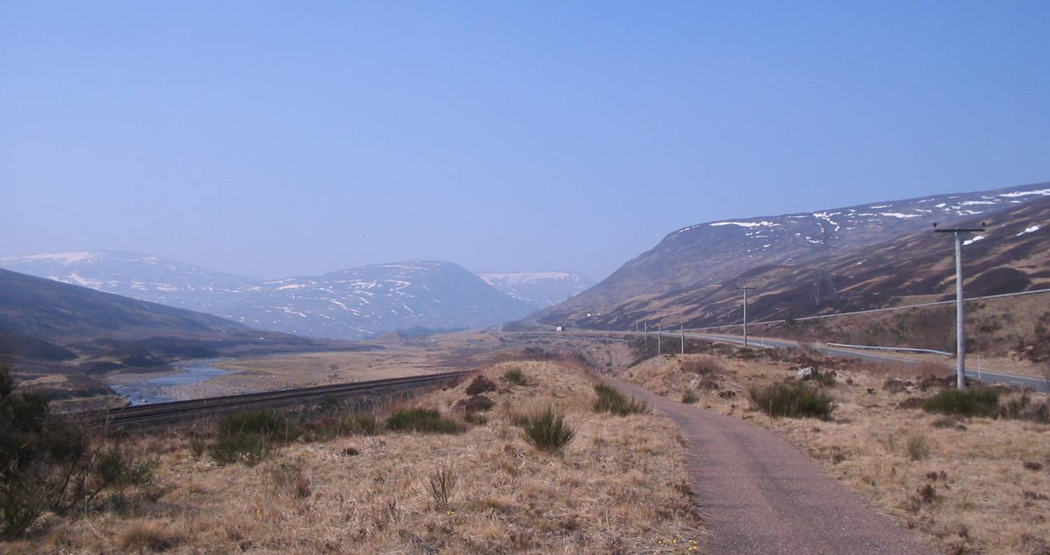
Pass of Drumochter
The Pass of Drumochter (Scottish Gaelic: Druim Uachdair) meaning simply 'high ridge' is the main mountain pass between the northern and southern central...
Have you been to Loch Ericht Forest?
Leave your review of Loch Ericht Forest below (or comments, questions and feedback).