Black Hill
Hill, Mountain in Ayrshire
Scotland
Black Hill
Black Hill is a prominent hill located in the region of Ayrshire, Scotland. Standing at an elevation of approximately 372 meters (1220 feet) above sea level, it is often referred to as a "Marilyn," a term used to classify hills in the British Isles with a prominence of at least 150 meters.
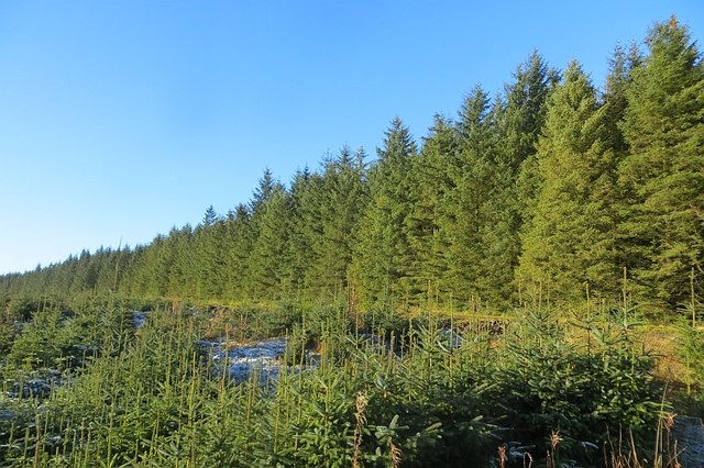
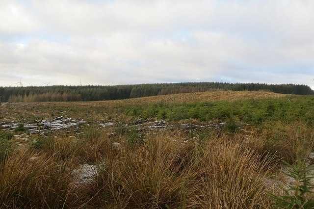
Situated within the boundaries of the East Ayrshire Council area, Black Hill occupies a central position within the wider Southern Uplands range. It is part of the Galloway Forest Park, renowned for its stunning natural beauty and diverse wildlife.
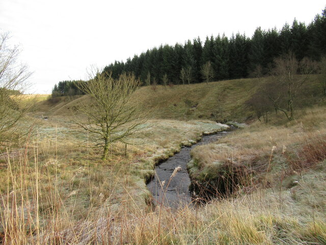
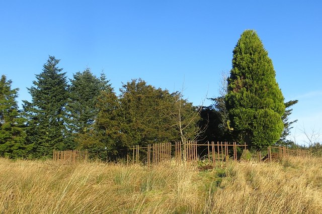
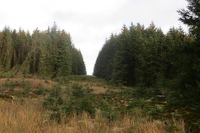
The hill is predominantly composed of granite and features a distinct rounded shape, typical of the surrounding Southern Uplands. Its slopes are covered with a mix of heather, grasses, and scattered shrubs, creating a picturesque landscape that attracts nature enthusiasts and hikers alike.
Black Hill offers breathtaking panoramic views from its summit, showcasing the surrounding rolling hills, forests, and the distant coasts of Ayrshire. On clear days, visitors can even catch glimpses of the Isle of Arran and other nearby islands.
The area surrounding Black Hill is home to a variety of flora and fauna, including red deer, red squirrels, and numerous bird species. It is also a popular spot for birdwatching, with frequent sightings of raptors such as buzzards and kestrels.
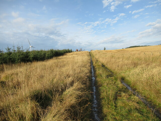
Access to Black Hill is facilitated by a network of trails and paths, making it a popular destination for outdoor activities such as hiking, mountain biking, and nature walks. The hill's accessibility and natural beauty make it a cherished landmark within the Ayrshire region.
If you have any feedback on the listing, please let us know in the comments section below.
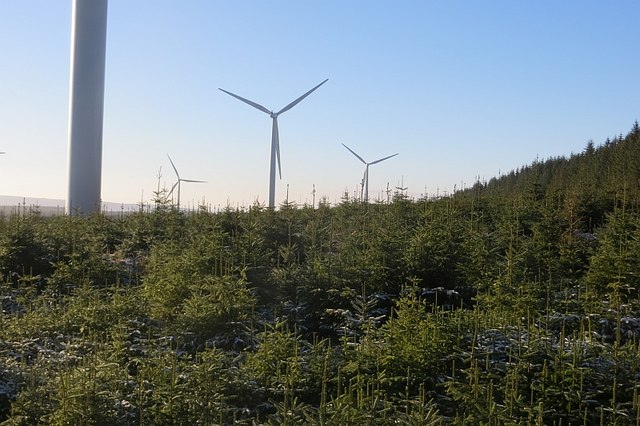
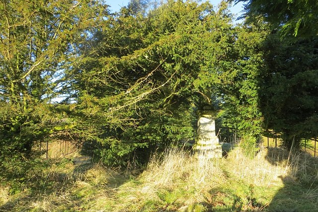
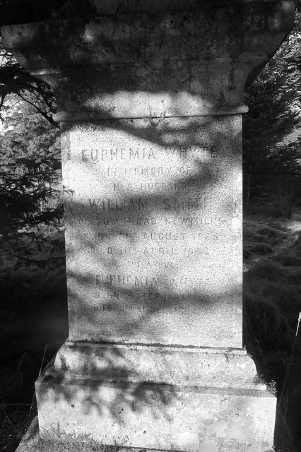
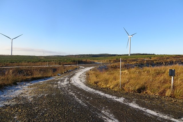
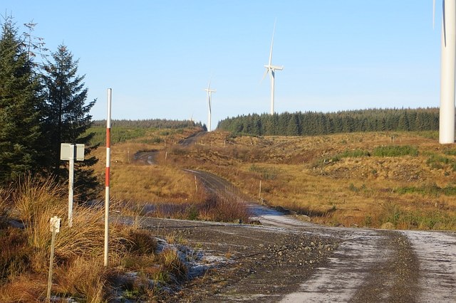
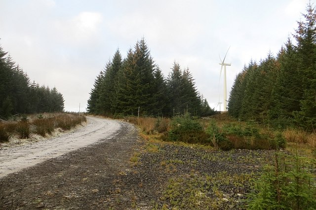
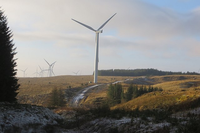
Black Hill Images
Images are sourced within 2km of 55.665186/-4.2564721 or Grid Reference NS5843. Thanks to Geograph Open Source API. All images are credited.


Black Hill is located at Grid Ref: NS5843 (Lat: 55.665186, Lng: -4.2564721)
Unitary Authority: East Ayrshire
Police Authority: Ayrshire
What 3 Words
///showcases.loving.toads. Near Darvel, East Ayrshire
Nearby Locations
Related Wikis

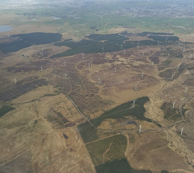
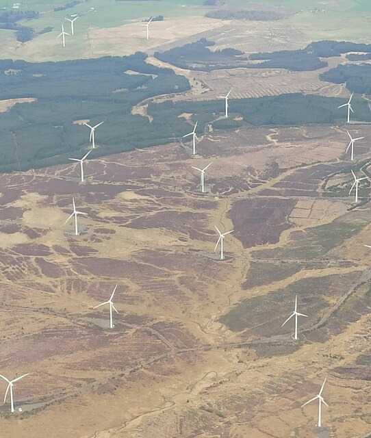
Whitelee Wind Farm
Whitelee Wind Farm is a windfarm on the Eaglesham moor in Scotland. The main visitor centre is located in East Renfrewshire, but the majority of turbines...

Corse Hill
Corse Hill is a hill located between East Renfrewshire and South Lanarkshire of Scotland. With a height of 376 m (1,234 ft), it is the highest point in...

Battle of Drumclog
The Battle of Drumclog was fought on 1 June 1679, between a group of Covenanters and the forces of John Graham of Claverhouse, at Drumclog, in South Lanarkshire...

Drumclog Moss
Drumclog Moss is a flat wilderness of broken bog and quagmire in Lanarkshire, Scotland. The Covenanters defeated Claverhouse's dragoons at the site in...
Nearby Amenities
Located within 500m of 55.665186,-4.2564721Have you been to Black Hill?
Leave your review of Black Hill below (or comments, questions and feedback).