Airie Bennan

Hill, Mountain in Kirkcudbrightshire

Scotland

Airie Bennan

Old milestone Travelling westwards from New Galloway towards Newton Stewart this milestone is on the north side of the road about 50m from a rough lay-by on the south side of the road.   It does have a faint 27 on the front face, the distance from Dumfries.  It is a further 15 miles to Newton Stewart.
Old milestone Credit: Chris Minto

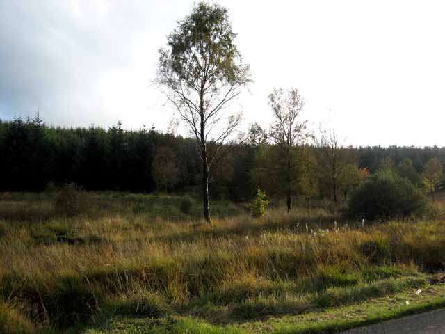
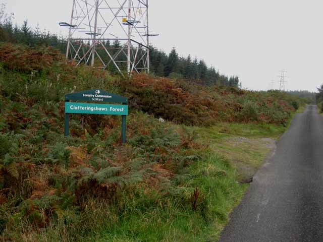
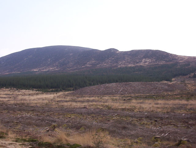
Airie Bennan is a prominent hill located in Kirkcudbrightshire, Scotland. It is situated within the Galloway Forest Park, which is known for its stunning natural beauty and abundant wildlife. Rising to an elevation of 481 meters (1578 feet), Airie Bennan offers breathtaking panoramic views of the surrounding countryside.

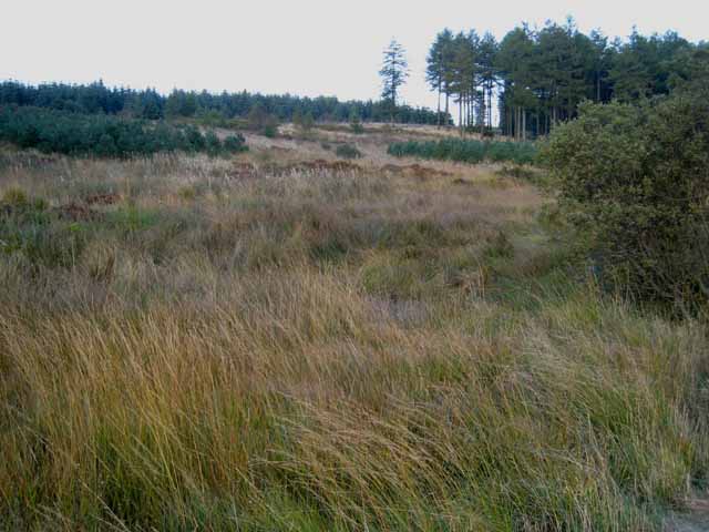
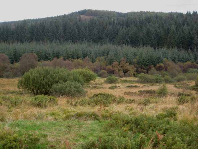
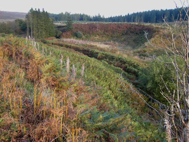
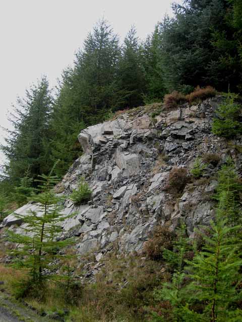
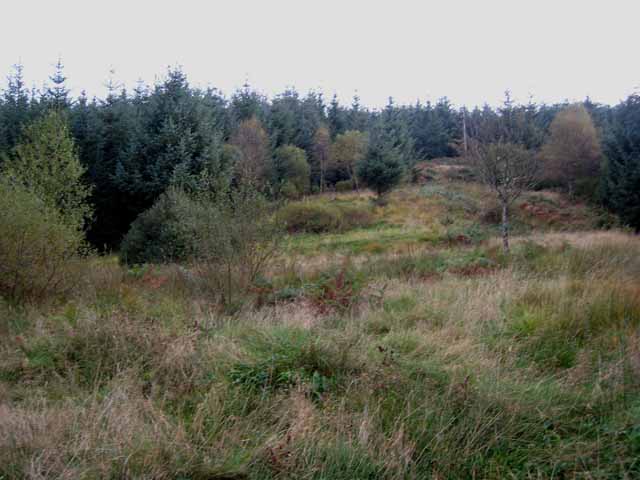
The hill is characterized by its rugged terrain, with a rocky and undulating landscape that attracts outdoor enthusiasts and hikers. It is also home to a diverse range of plant and animal species, making it a popular destination for nature lovers and wildlife enthusiasts. Visitors to Airie Bennan may encounter various bird species, including peregrine falcons and golden eagles, as well as red deer and other mammals.

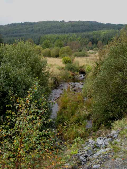
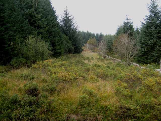
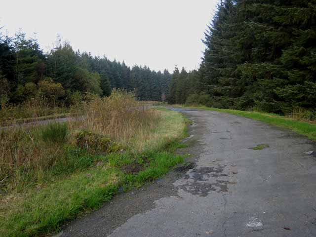
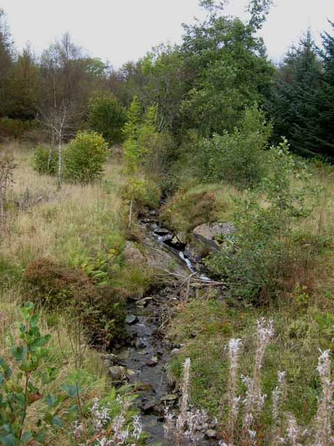
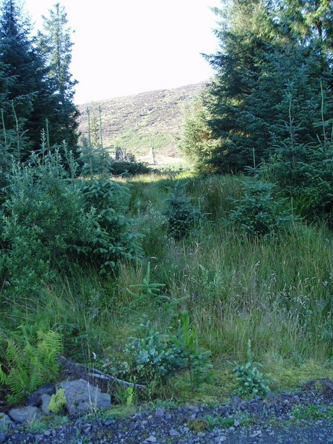
The hill is accessible via several walking trails, which provide different levels of difficulty to suit all abilities. One of the popular routes is the Bennan Hill Trail, a circular path that takes around 2-3 hours to complete and provides stunning views throughout the journey. The hill is also adjacent to Loch Doon, a picturesque lake that further enhances the beauty of the area.

Airie Bennan is not only a natural attraction but also holds historical significance. The area has evidence of Bronze Age settlements, with remnants of ancient stone circles and burial cairns found nearby. These archaeological sites add an extra layer of interest to the hill and attract history enthusiasts.

Overall, Airie Bennan is a must-visit destination for those seeking a combination of scenic beauty, outdoor activities, and a glimpse into Scotland's rich historical past.

If you have any feedback on the listing, please let us know in the comments section below.

Airie Bennan Images

Images are sourced within 2km of 55.075001/-4.2228505 or Grid Reference NX5877. Thanks to Geograph Open Source API. All images are credited.

Old milestone Travelling westwards from New Galloway towards Newton Stewart this milestone is on the north side of the road about 50m from a rough lay-by on the south side of the road.   It does have a faint 27 on the front face, the distance from Dumfries.  It is a further 15 miles to Newton Stewart.
Old milestone
Travelling westwards from New Galloway towards Newton Stewart this milestone is on the north side of the road about 50m from a rough lay-by on the south side of the road. It does have a faint 27 on the front face, the distance from Dumfries. It is a further 15 miles to Newton Stewart.
Old milestone There is the milestone on the right next to a young sapling.  In April almost hidden in the dried grass.   27 miles from Dumfries.
Old milestone
There is the milestone on the right next to a young sapling. In April almost hidden in the dried grass. 27 miles from Dumfries.
View of Clatteringshaws Forest from the Queen's Way The term "Queen's Way" is applied to this section of the A712, Newton Stewart to New Galloway road. The 1940 map shows that the "Old Edinburgh Road" passes across the foreground of this picture.
View of Clatteringshaws Forest from the Queen's Way
The term "Queen's Way" is applied to this section of the A712, Newton Stewart to New Galloway road. The 1940 map shows that the "Old Edinburgh Road" passes across the foreground of this picture.
View of Clatteringshaws Forest from the Queen's Way The term "Queen's Way" is applied to this section of the A712, Newton Stewart to New Galloway road. The 1940 map shows that the "Old Edinburgh Road passed across the foreground of this photo.
View of Clatteringshaws Forest from the Queen's Way
The term "Queen's Way" is applied to this section of the A712, Newton Stewart to New Galloway road. The 1940 map shows that the "Old Edinburgh Road passed across the foreground of this photo.
Craigshinnie Burn, Clatteringshaws Forest Bennan <a href="https://www.geograph.org.uk/gridref/NX5678">NX5678</a> on the skyline.
Craigshinnie Burn, Clatteringshaws Forest
Bennan NX5678 on the skyline.
Wall in Clatteringshaws Forest Throughout the forests of upland Britain, old field wall can be found as witness to the time before trees.
Wall in Clatteringshaws Forest
Throughout the forests of upland Britain, old field wall can be found as witness to the time before trees.
Lay-by in Clatteringshaws Forest A bend on the A712, Newton Stewart to New Galloway road, has been straightened.
Lay-by in Clatteringshaws Forest
A bend on the A712, Newton Stewart to New Galloway road, has been straightened.
The road to Clatteringshaws Forest On the minor road which runs up from St John's Town of Dalry. The pylons are part of the network of transmission lines radiating out from the Galloway hydro-electric scheme in the Dee valley.
The road to Clatteringshaws Forest
On the minor road which runs up from St John's Town of Dalry. The pylons are part of the network of transmission lines radiating out from the Galloway hydro-electric scheme in the Dee valley.
Back Hill of Glenlee, Clatteringshaws Forest Seen from the minor road up from St John's Town of Dalry. The valley of Craigshinnie Burn is in the middle ground.
Back Hill of Glenlee, Clatteringshaws Forest
Seen from the minor road up from St John's Town of Dalry. The valley of Craigshinnie Burn is in the middle ground.
Knocknairling Burn, Clatteringshaws Forest Seen from the A712, Newton Stewart to New Galloway road.
Knocknairling Burn, Clatteringshaws Forest
Seen from the A712, Newton Stewart to New Galloway road.
Rocky bluff, Clatteringshaws Forest Clatteringshaws Forest covers a great swathe of country to the west of New Galloway. Much of it, as here on the slopes of Bennan, is very rocky.
Rocky bluff, Clatteringshaws Forest
Clatteringshaws Forest covers a great swathe of country to the west of New Galloway. Much of it, as here on the slopes of Bennan, is very rocky.
Clearing, Clatteringshaws Forest Valley of the Craigshinnie Burn.
Clearing, Clatteringshaws Forest
Valley of the Craigshinnie Burn.
Headwaters of Craigshinnie Burn, Clatteringshaws Forest
Lay-by on the A712 In Clatteringshaws Forest on the Newton Stewart to New Galloway road.
Lay-by on the A712
In Clatteringshaws Forest on the Newton Stewart to New Galloway road.
Recently Felled Forest Recently felled forestry plantation between A712 and Cairnsmore of Dee which is in right background of the picture.
Recently Felled Forest
Recently felled forestry plantation between A712 and Cairnsmore of Dee which is in right background of the picture.
Forest Ride. Looking south along the old dyke as it climbs the lower slopes of the northern flank of Cairnsmore of Dee.
Forest Ride.
Looking south along the old dyke as it climbs the lower slopes of the northern flank of Cairnsmore of Dee.
Craigshinnie Dam. Water is taken from this dam into the tunnel taking water from Clatteringshaws Loch to Glenlee Power Station.
Craigshinnie Dam.
Water is taken from this dam into the tunnel taking water from Clatteringshaws Loch to Glenlee Power Station.
Stockpile of Scallop Shells. These scallop shells are added to forest roads to help reduce the acidity of water.  The hill in the distance is Bennan, 381m.
Stockpile of Scallop Shells.
These scallop shells are added to forest roads to help reduce the acidity of water. The hill in the distance is Bennan, 381m.
Show me another place!

Airie Bennan is located at Grid Ref: NX5877 (Lat: 55.075001, Lng: -4.2228505)

Unitary Authority: Dumfries and Galloway

Police Authority: Dumfries and Galloway

What 3 Words

///dries.type.brother. Near Newton Stewart, Dumfries & Galloway

Nearby Locations

Will's Hill Airie Bennan

Related Wikis

Clatteringshaws Loch

Clatteringshaws Loch is a freshwater reservoir in the historical county of The Stewartry of Kirkcudbright in Dumfries and Galloway, Scotland. It was created...

Water of Ken

The Water of Ken is a river in the historical county of Kirkcudbrightshire in Galloway, south-west Scotland.It rises on Blacklorg Hill, north-east of Cairnsmore...

Kells, Dumfries and Galloway

Kells parish, in the Stewartry of Kirkcudbright in Scotland, is located 14 miles (NWbN) from Castle-Douglas, and 19 miles (NbW) from Kirkcudbright. It...

St John's Town of Dalry

St John's Town of Dalry (Scottish Gaelic: Clachan Eòin), usually referred to simply as Dalry (/dæl'raɪ/ / 'dal-RYE'), is a village in Dumfries and Galloway...

Have you been to Airie Bennan?

Leave your review of Airie Bennan below (or comments, questions and feedback).