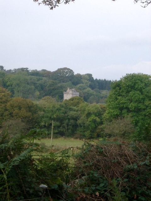
Tor Hill
Hill, Mountain in Kirkcudbrightshire
Scotland
Tor Hill
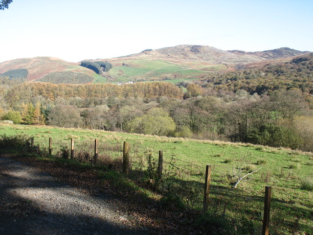
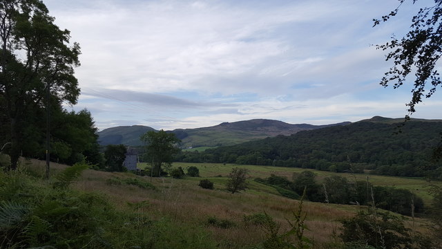
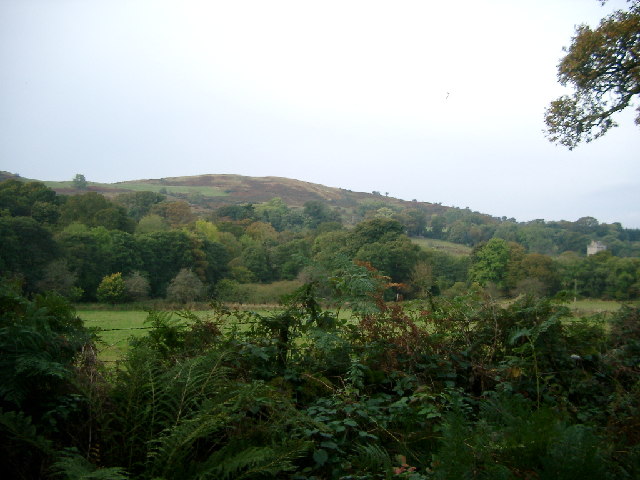
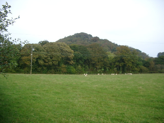
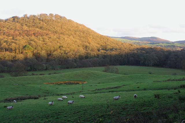
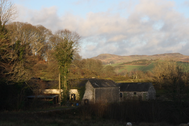
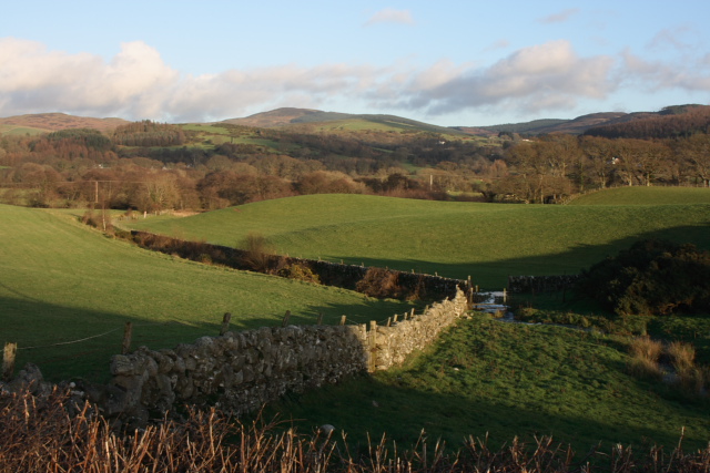
Tor Hill is a prominent geographical feature located in the region of Kirkcudbrightshire, Scotland. Rising to an elevation of 230 meters (755 feet), it stands as a prominent hill in the surrounding landscape. Situated near the town of Kirkcudbright, Tor Hill offers captivating panoramic views of the surrounding countryside, making it a popular attraction for both locals and tourists alike.
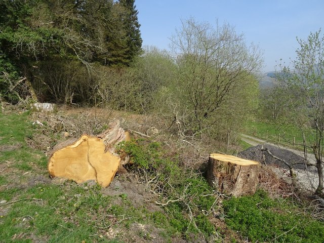
The hill itself is characterized by its gentle slopes and lush greenery, which is dotted with patches of heather and bracken. It is primarily composed of granite, a type of igneous rock, which gives the hill its distinctive appearance. The weathering and erosion of the granite over millennia have resulted in the formation of interesting rock formations and outcrops on the hill's surface.
Tor Hill is known for its rich biodiversity, hosting a variety of plant and animal species. It is home to several bird species, including buzzards and kestrels, which can often be spotted soaring gracefully above the hill. The surrounding vegetation provides a habitat for small mammals such as rabbits and hares, as well as a diverse range of plant species.
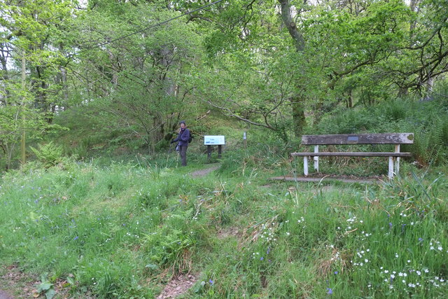
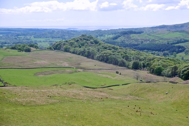
Visitors to Tor Hill can enjoy leisurely walks along well-maintained paths that wind their way up to the summit. Once at the top, they are rewarded with breathtaking views of the surrounding countryside, including the nearby estuary of the River Dee. On clear days, it is even possible to see as far as the Solway Firth and the distant peaks of the Lake District.
Overall, Tor Hill offers a picturesque and tranquil setting for nature lovers and outdoor enthusiasts, providing a memorable experience of the Scottish countryside.
If you have any feedback on the listing, please let us know in the comments section below.
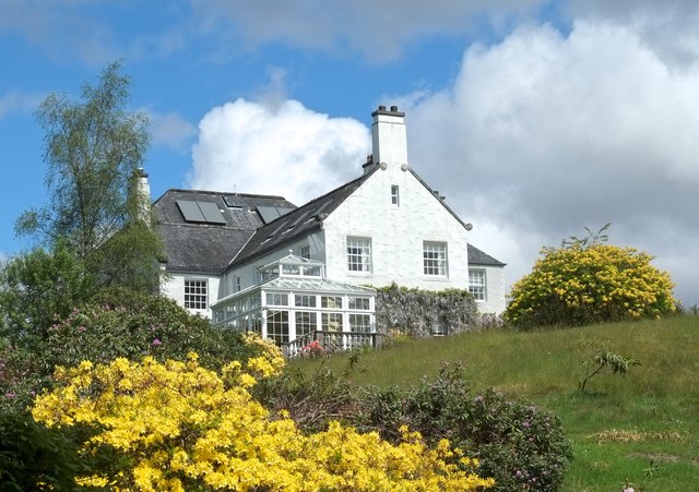
Tor Hill Images
Images are sourced within 2km of 54.903727/-4.2133843 or Grid Reference NX5858. Thanks to Geograph Open Source API. All images are credited.
Tor Hill is located at Grid Ref: NX5858 (Lat: 54.903727, Lng: -4.2133843)
Unitary Authority: Dumfries and Galloway
Police Authority: Dumfries and Galloway
What 3 Words
///chapters.gratuity.blip. Near Kirkcudbright, Dumfries & Galloway
Nearby Locations
Related Wikis
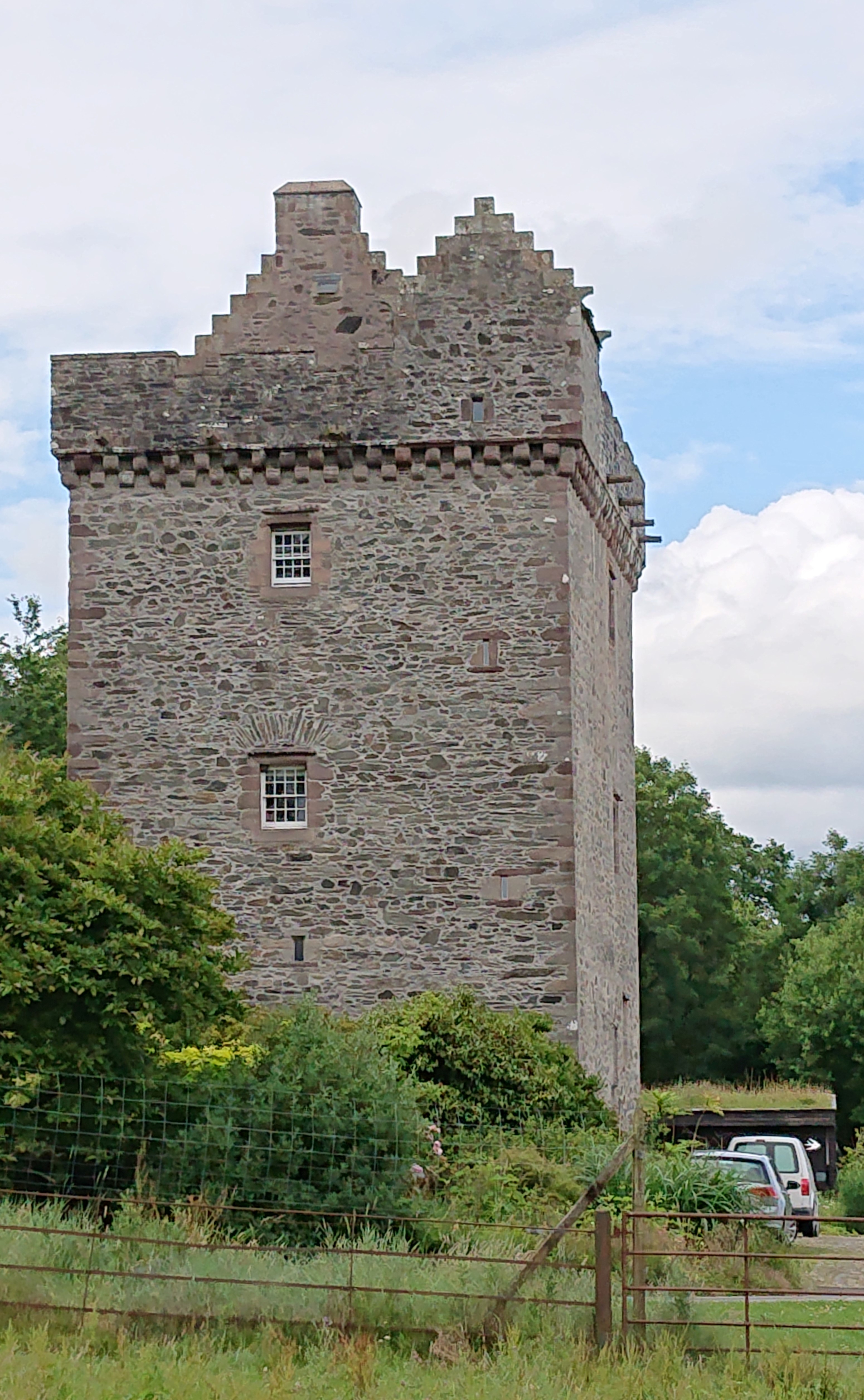
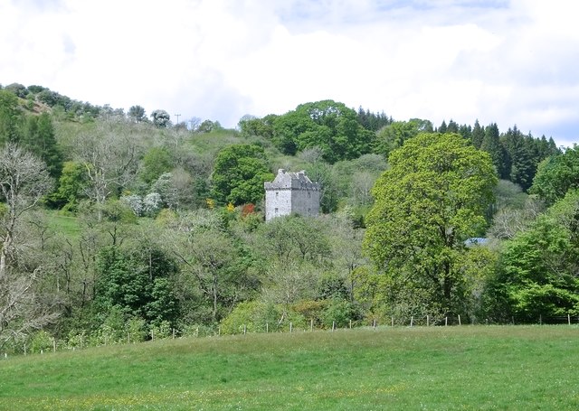
Rusco Tower
Rusco Tower, sometimes called Rusco Castle, is a tower house near Gatehouse of Fleet in Dumfries and Galloway, Scotland. Built around 1500 for Mariota...
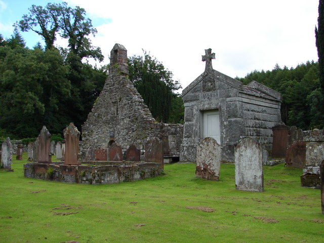
Anwoth Old Church
Anwoth Old Church is a ruined church building which was built in 1626 to serve the parish of Anwoth in Dumfries and Galloway, Scotland. It is roofless...
Anwoth
Anwoth is a settlement near the Solway Firth in the historic county of Kirkcudbrightshire, southwest Scotland, within a parish of the same name in the...

Anwoth Parish Church
Anwoth Parish Church was built in 1826 to serve the parish of Anwoth in Dumfries and Galloway, Scotland. Designed by Walter Newall, it replaced Anwoth...

Trusty's Hill
Trusty's Hill is a small vitrified hillfort about a mile to the west of the present-day town of Gatehouse of Fleet, in the parish of Anwoth in the Stewartry...

Gatehouse of Fleet
Gatehouse of Fleet (Scots: Gatehoose o Fleet Scottish Gaelic: Taigh an Rathaid) is a town half in the civil parish of Girthon and half in the parish of...
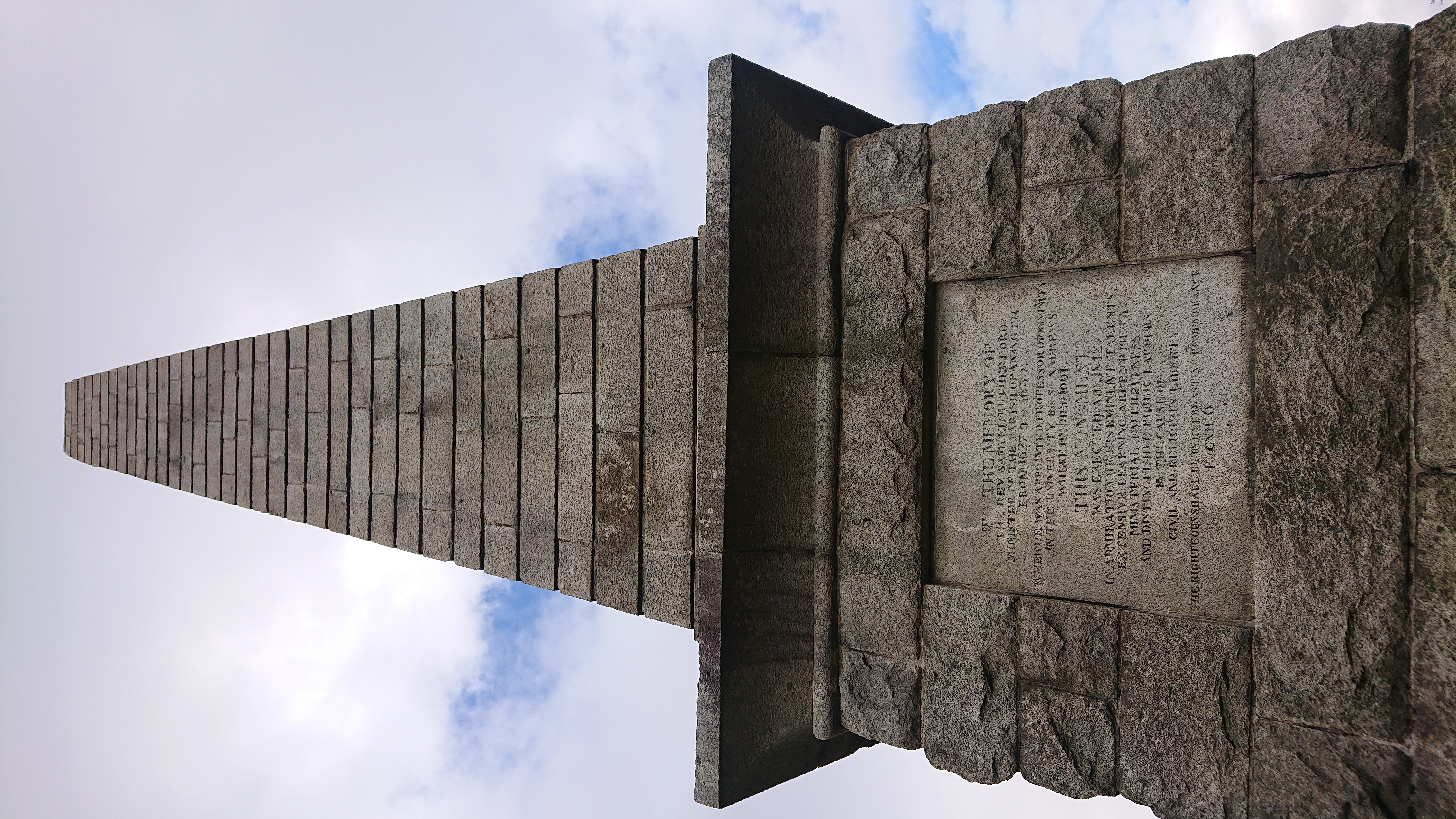
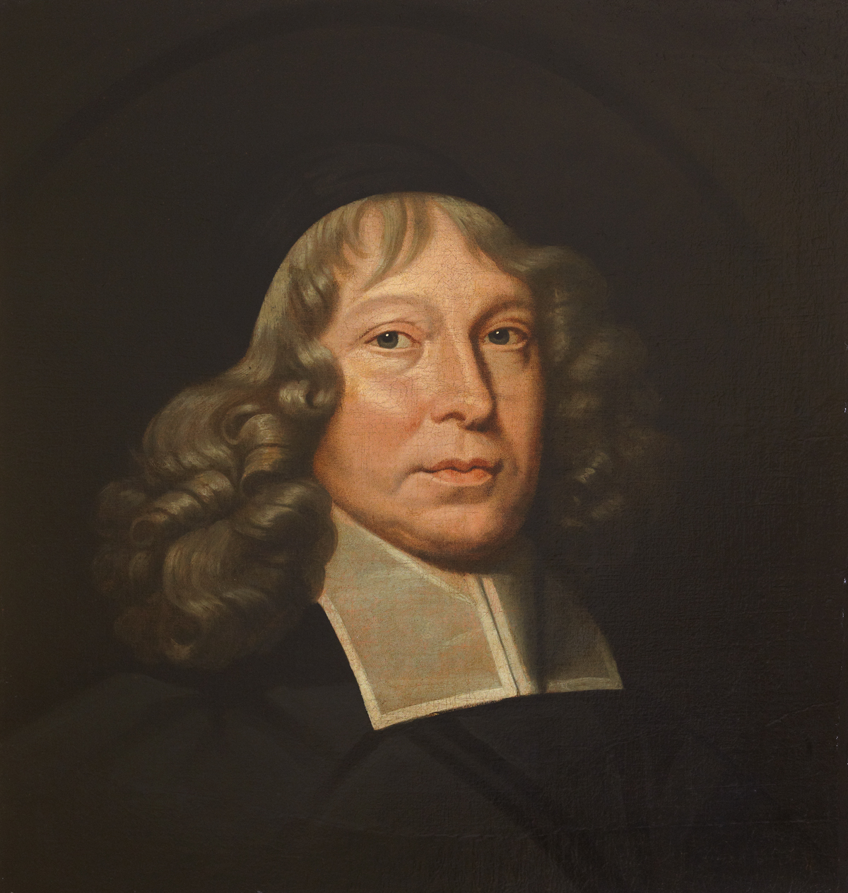
Rutherford's Monument
Rutherford's Monument is a commemorative monument between Anwoth and Gatehouse of Fleet in Dumfries and Galloway, Scotland. It is dedicated to the 17th...

Gatehouse of Fleet Town Hall
Gatehouse of Fleet Town Hall is a former municipal building in the High Street in Gatehouse of Fleet, Dumfries and Galloway, Scotland. The structure, which...
Nearby Amenities
Located within 500m of 54.903727,-4.2133843Have you been to Tor Hill?
Leave your review of Tor Hill below (or comments, questions and feedback).