Tor Wood
Wood, Forest in Kirkcudbrightshire
Scotland
Tor Wood
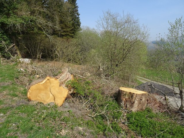
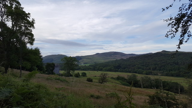
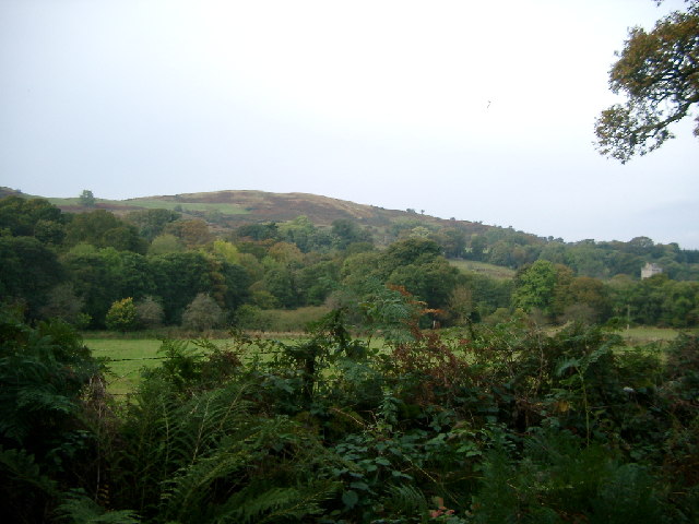
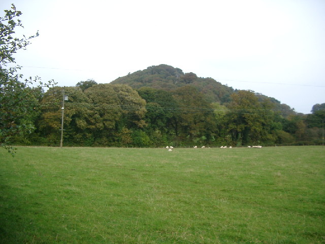
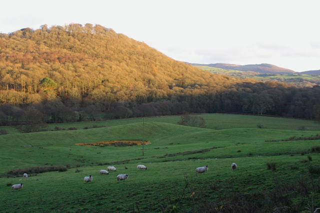
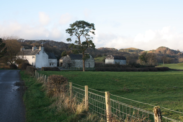
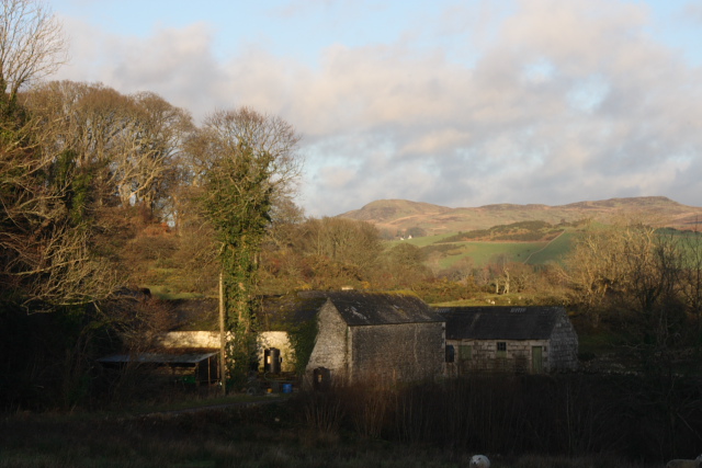
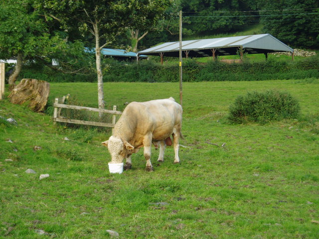
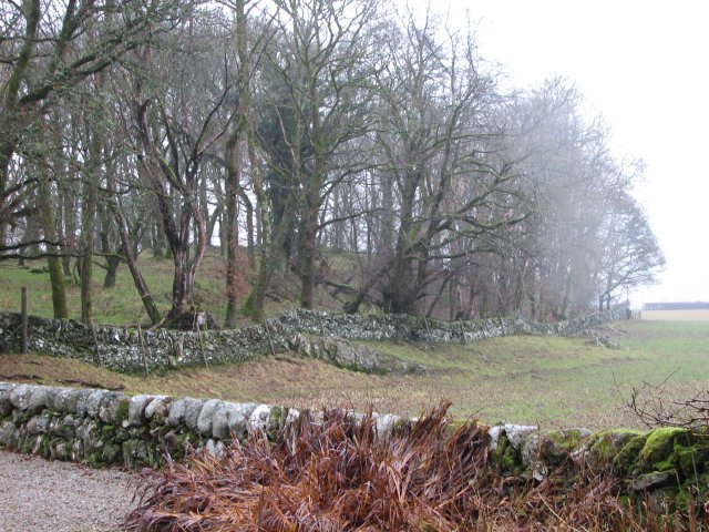
Tor Wood is a picturesque forest located in the historic county of Kirkcudbrightshire, Scotland. Spanning over an area of approximately 100 acres, the wood is a charming natural haven that attracts both locals and tourists alike.
The woodland is characterized by its diverse range of trees, including oak, beech, and Scots pine. These towering trees create a dense canopy, providing a habitat for a variety of wildlife species. Visitors to Tor Wood can expect to encounter numerous bird species such as woodpeckers, owls, and warblers, as well as small mammals like squirrels and rabbits.
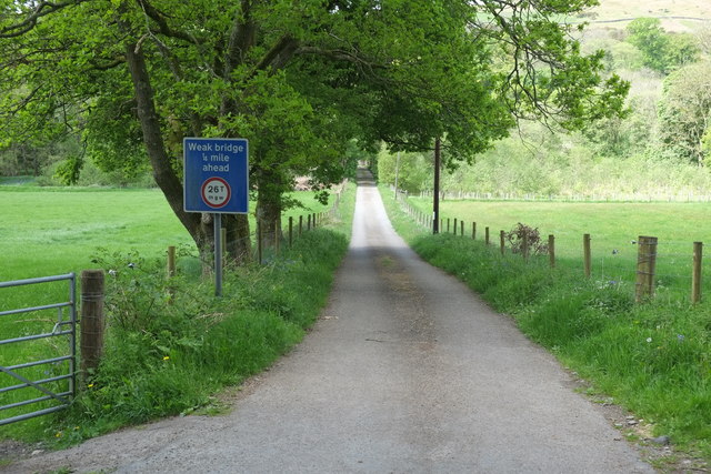
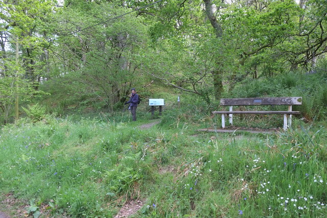
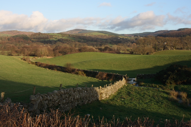
The forest is crisscrossed by a network of well-maintained footpaths, making it an ideal destination for walkers and nature enthusiasts. These trails wind through the peaceful woodland, offering breathtaking views of the surrounding countryside. During spring, the forest floor comes alive with a vibrant carpet of wildflowers, adding a splash of color to the green landscape.
One of the highlights of Tor Wood is the presence of an ancient monument known as Torhousekie Stone Circle. Dating back to the Bronze Age, this stone circle consists of 19 boulders arranged in a circular formation. It is believed to have served as a ceremonial site or a meeting place for the local community.
Tor Wood offers a tranquil escape from the hustle and bustle of daily life, providing an opportunity to immerse oneself in nature and appreciate the beauty of Scotland's woodlands.
If you have any feedback on the listing, please let us know in the comments section below.
Tor Wood Images
Images are sourced within 2km of 54.901884/-4.2119573 or Grid Reference NX5858. Thanks to Geograph Open Source API. All images are credited.
Tor Wood is located at Grid Ref: NX5858 (Lat: 54.901884, Lng: -4.2119573)
Unitary Authority: Dumfries and Galloway
Police Authority: Dumfries and Galloway
What 3 Words
///alley.arrival.packet. Near Kirkcudbright, Dumfries & Galloway
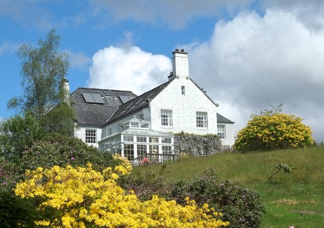
Nearby Locations
Related Wikis
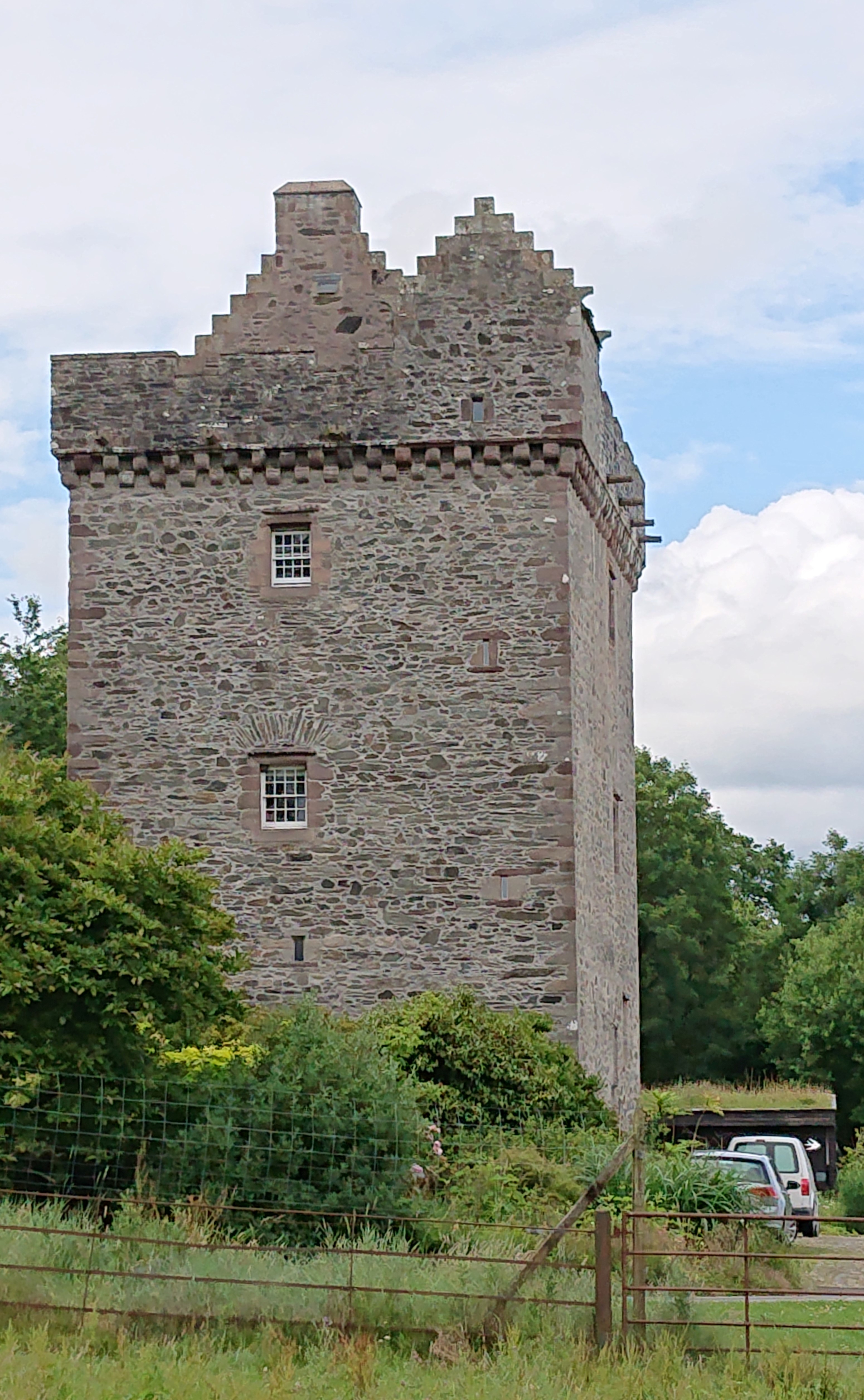
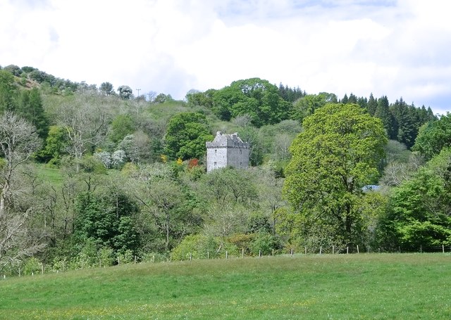
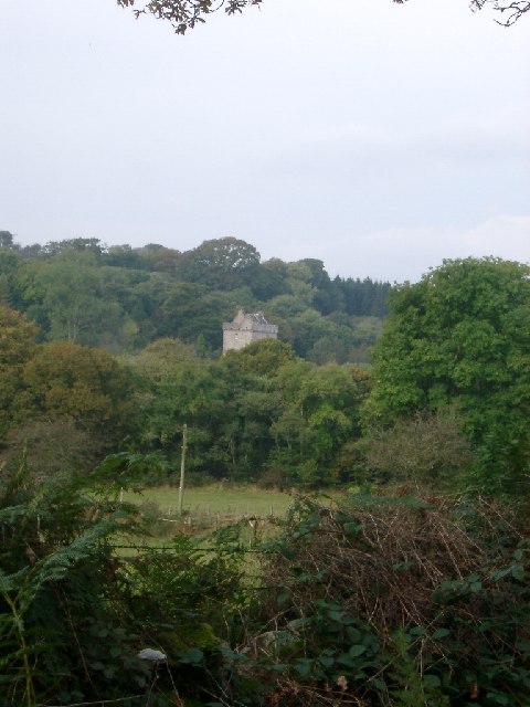
Rusco Tower
Rusco Tower, sometimes called Rusco Castle, is a tower house near Gatehouse of Fleet in Dumfries and Galloway, Scotland. Built around 1500 for Mariota...
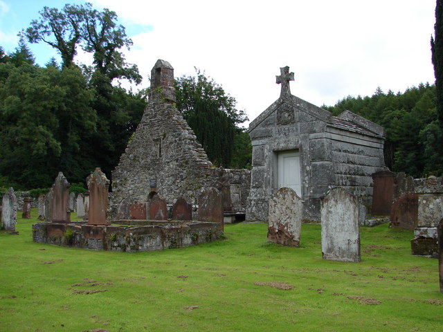
Anwoth Old Church
Anwoth Old Church is a ruined church building which was built in 1626 to serve the parish of Anwoth in Dumfries and Galloway, Scotland. It is roofless...
Anwoth
Anwoth is a settlement near the Solway Firth in the historic county of Kirkcudbrightshire, southwest Scotland, within a parish of the same name in the...

Anwoth Parish Church
Anwoth Parish Church was built in 1826 to serve the parish of Anwoth in Dumfries and Galloway, Scotland. Designed by Walter Newall, it replaced Anwoth...
Nearby Amenities
Located within 500m of 54.901884,-4.2119573Have you been to Tor Wood?
Leave your review of Tor Wood below (or comments, questions and feedback).