Stair Mount
Hill, Mountain in Ayrshire
Scotland
Stair Mount

Stair Mount, located in Ayrshire, Scotland, is a picturesque hill/mountain that stands at an elevation of approximately 557 meters (1,827 feet) above sea level. Situated within the Galloway Forest Park, it offers breathtaking views of the surrounding countryside and is a popular destination for outdoor enthusiasts and nature lovers.
The mountain is characterized by its rugged terrain and rocky slopes, covered in heather and grass. Its distinctive shape and prominent position make it easily recognizable from miles away. Stair Mount is part of a range of hills that form the boundary between Ayrshire and Dumfries and Galloway, providing a natural border between the two regions.
The summit of Stair Mount offers panoramic views of the surrounding landscapes, including the nearby Galloway Hills and the Firth of Clyde. On a clear day, it is said that one can even catch a glimpse of the distant Isle of Arran. Hiking and walking trails crisscross the mountain, allowing visitors to explore its diverse flora and fauna, including various bird species and wildflower meadows.
Stair Mount is also known for its historical significance, with remnants of ancient settlements and burial sites dating back to prehistoric times. The mountain holds cultural importance for the local communities, who often organize events and festivals to celebrate its heritage.
Whether it is for a challenging hike, a peaceful walk, or simply to enjoy the stunning vistas, Stair Mount offers an unforgettable experience for outdoor enthusiasts and those looking to immerse themselves in the natural beauty of Ayrshire.
If you have any feedback on the listing, please let us know in the comments section below.
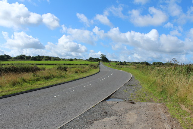
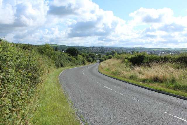
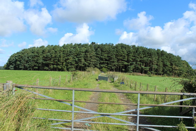
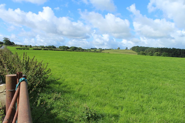
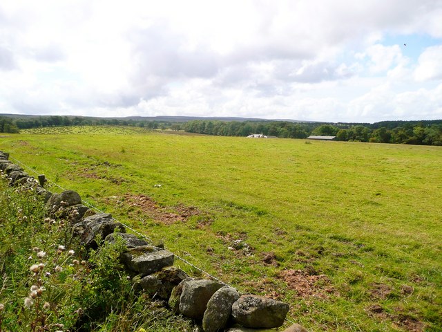
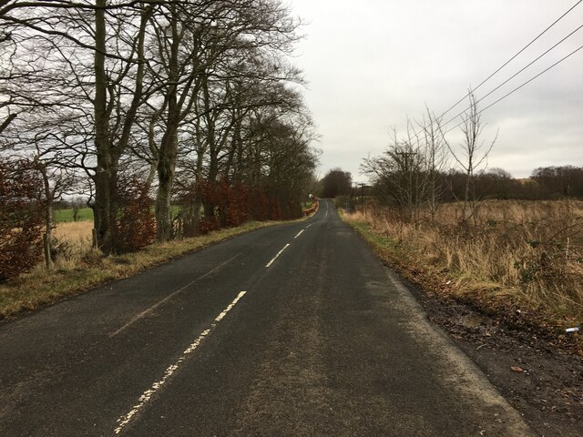
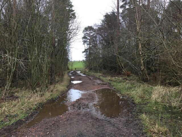
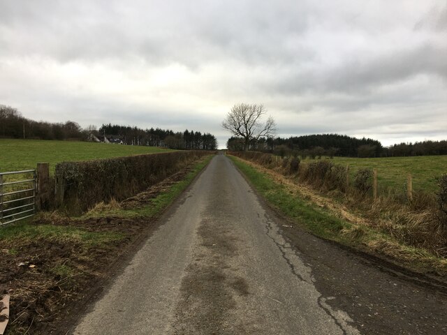
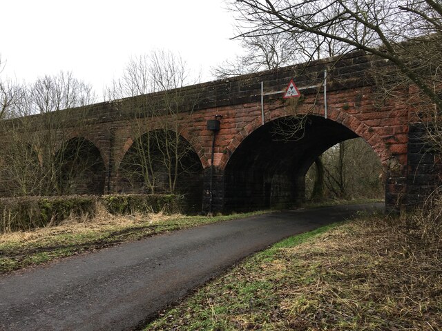
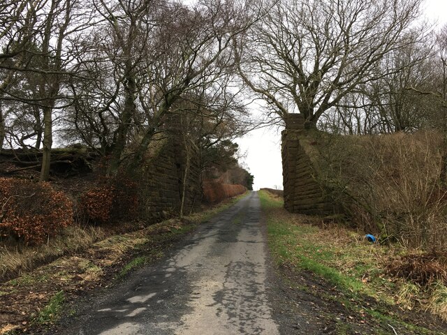
Stair Mount Images
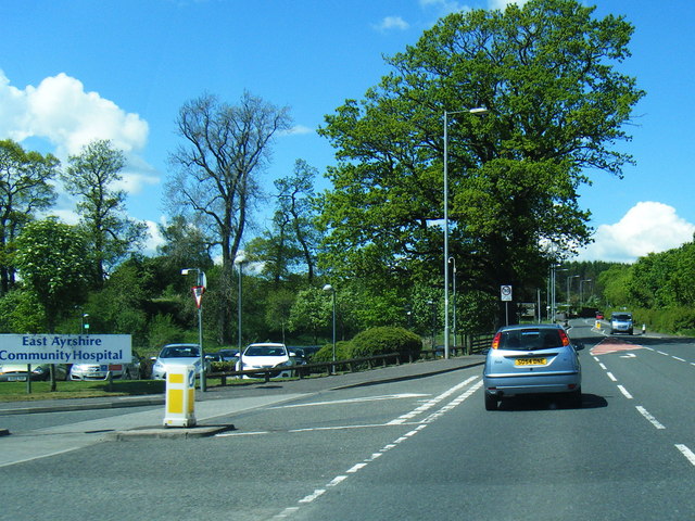
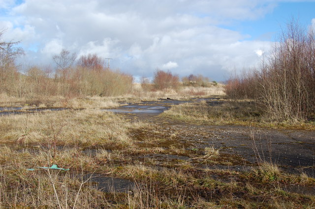
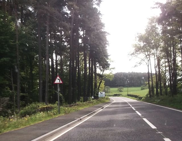
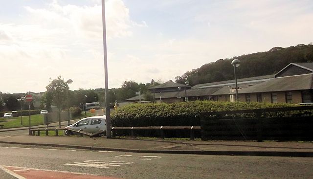
Images are sourced within 2km of 55.445346/-4.3016492 or Grid Reference NS5419. Thanks to Geograph Open Source API. All images are credited.


Stair Mount is located at Grid Ref: NS5419 (Lat: 55.445346, Lng: -4.3016492)
Unitary Authority: East Ayrshire
Police Authority: Ayrshire
What 3 Words
///bulbs.locating.demand. Near Cumnock, East Ayrshire
Nearby Locations
Related Wikis

Dumfries House railway station
Dumfries House railway station was a railway station near Dumfries House, East Ayrshire, Scotland. The station was originally part of the Annbank to Cronberry...

Dumfries House
Dumfries House is a Palladian country house in Ayrshire, Scotland. It is located within a large estate, around two miles (3 km) west of Cumnock. Noted...

Skares railway station
Skares railway station was a railway station serving the former mining village of Skares, East Ayrshire, Scotland. The station was originally part of the...
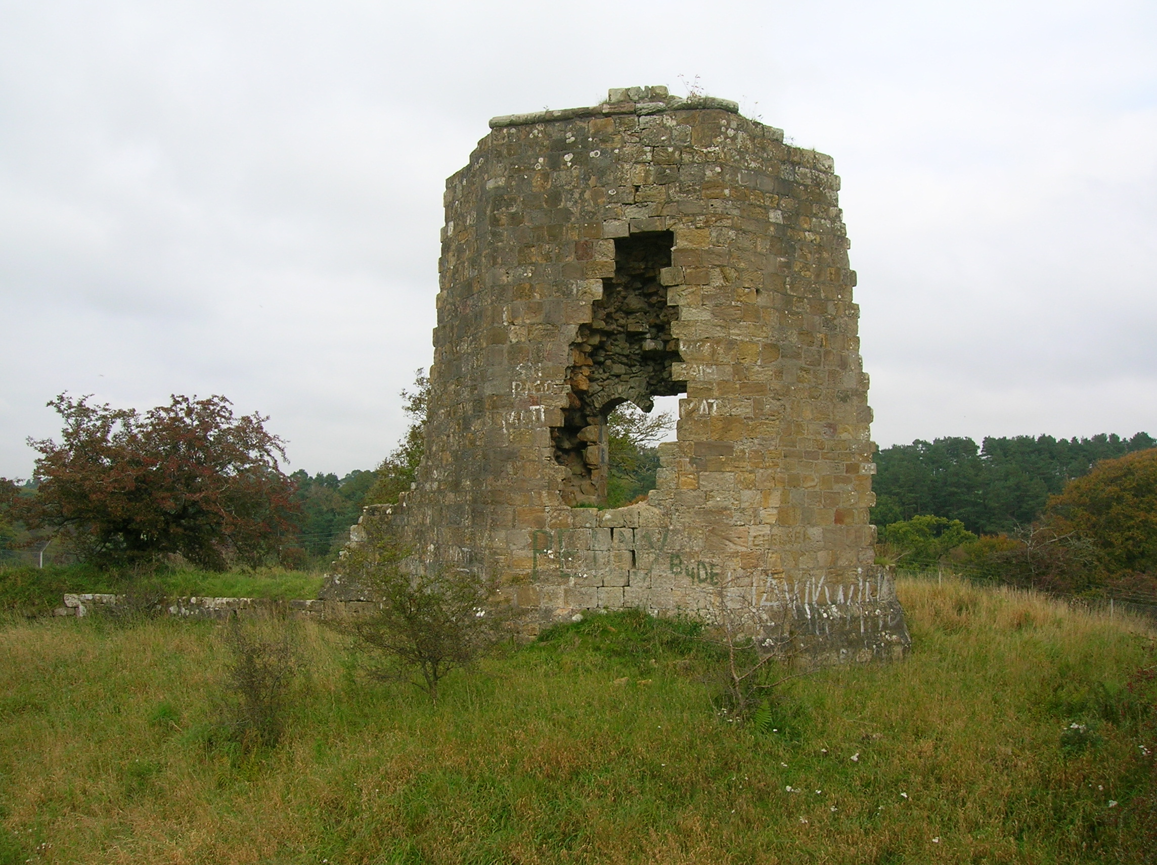
Terringzean Castle, East Ayrshire
Terringzean Castle, also Taringzean, pronounced 'Tringan', is a Category B listed castle ruin lying above the River Lugar and the Terringzean Holm in the...
Nearby Amenities
Located within 500m of 55.445346,-4.3016492Have you been to Stair Mount?
Leave your review of Stair Mount below (or comments, questions and feedback).