Polcalk Wood
Wood, Forest in Ayrshire
Scotland
Polcalk Wood

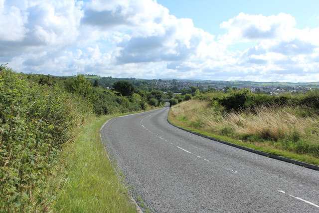
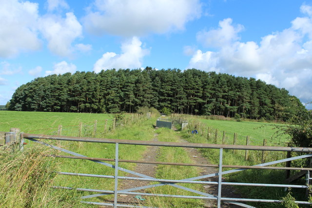
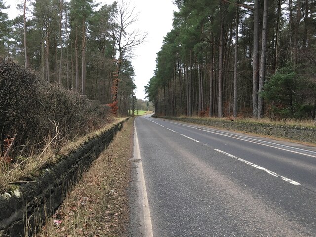
Polcalk Wood is a picturesque forest located in Ayrshire, Scotland. Covering an area of approximately 500 acres, it is a popular destination for nature enthusiasts and outdoor adventurers alike. The wood is situated near the village of Symington and can be easily accessed from the nearby towns of Ayr and Kilmarnock.
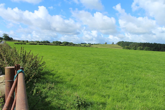
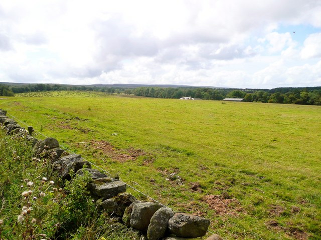
The forest boasts a diverse range of flora and fauna, offering visitors a unique opportunity to immerse themselves in the beauty of nature. Thick canopies of mature trees, including oak, beech, and birch, provide a serene atmosphere and shade during the warmer months. Bluebells, wildflowers, and ferns carpet the forest floor, creating a vibrant and colorful landscape.
Polcalk Wood is also home to a variety of wildlife species. Red squirrels, roe deer, and numerous bird species are often spotted by keen-eyed visitors. Birdwatchers will be particularly delighted to observe species such as woodpeckers, jays, and tawny owls.
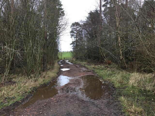
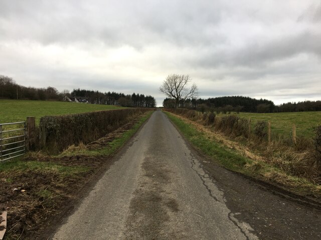
The wood offers several well-maintained trails that cater to both casual strollers and more adventurous hikers. These paths wind through the forest, allowing visitors to explore its different sections and discover hidden gems along the way. Picnic areas and benches are conveniently placed throughout the wood, offering an ideal spot to relax and enjoy the tranquil surroundings.
Polcalk Wood is a cherished natural asset in Ayrshire, providing a welcome escape from the hustle and bustle of everyday life. Its scenic beauty, rich biodiversity, and well-maintained trails make it an ideal destination for nature lovers and those seeking a peaceful retreat in the heart of Scotland's countryside.
If you have any feedback on the listing, please let us know in the comments section below.
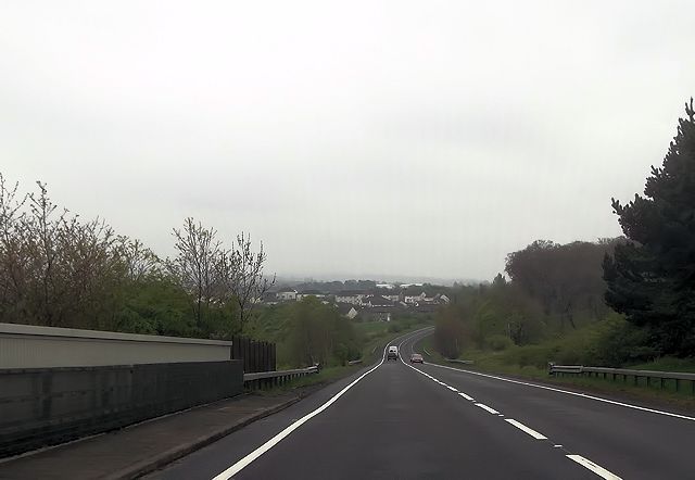
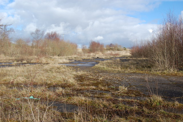
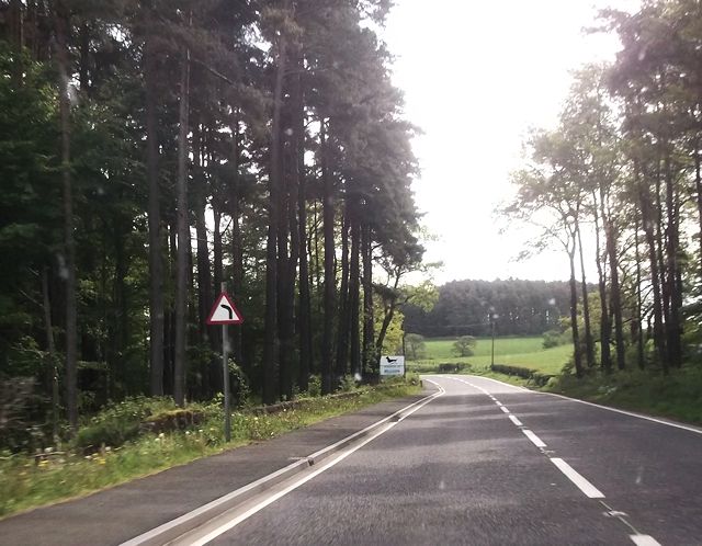
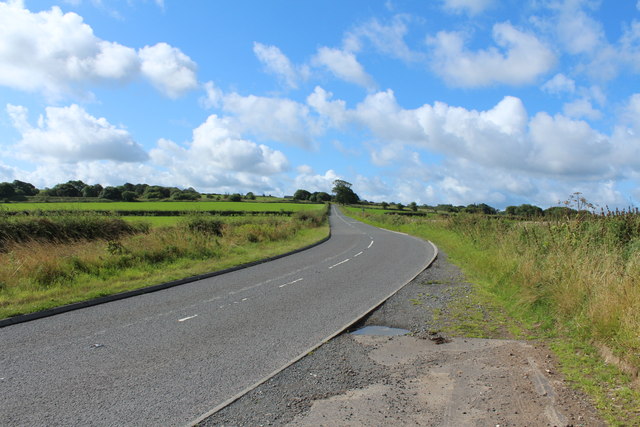
Polcalk Wood Images
Images are sourced within 2km of 55.449095/-4.3083196 or Grid Reference NS5419. Thanks to Geograph Open Source API. All images are credited.


Polcalk Wood is located at Grid Ref: NS5419 (Lat: 55.449095, Lng: -4.3083196)
Unitary Authority: East Ayrshire
Police Authority: Ayrshire
What 3 Words
///ocean.fulfilled.outcasts. Near Auchinleck, East Ayrshire
Nearby Locations
Related Wikis

Dumfries House railway station
Dumfries House railway station was a railway station near Dumfries House, East Ayrshire, Scotland. The station was originally part of the Annbank to Cronberry...

Dumfries House
Dumfries House is a Palladian country house in Ayrshire, Scotland. It is located within a large estate, around two miles (3 km) west of Cumnock. Noted...

Skares railway station
Skares railway station was a railway station serving the former mining village of Skares, East Ayrshire, Scotland. The station was originally part of the...
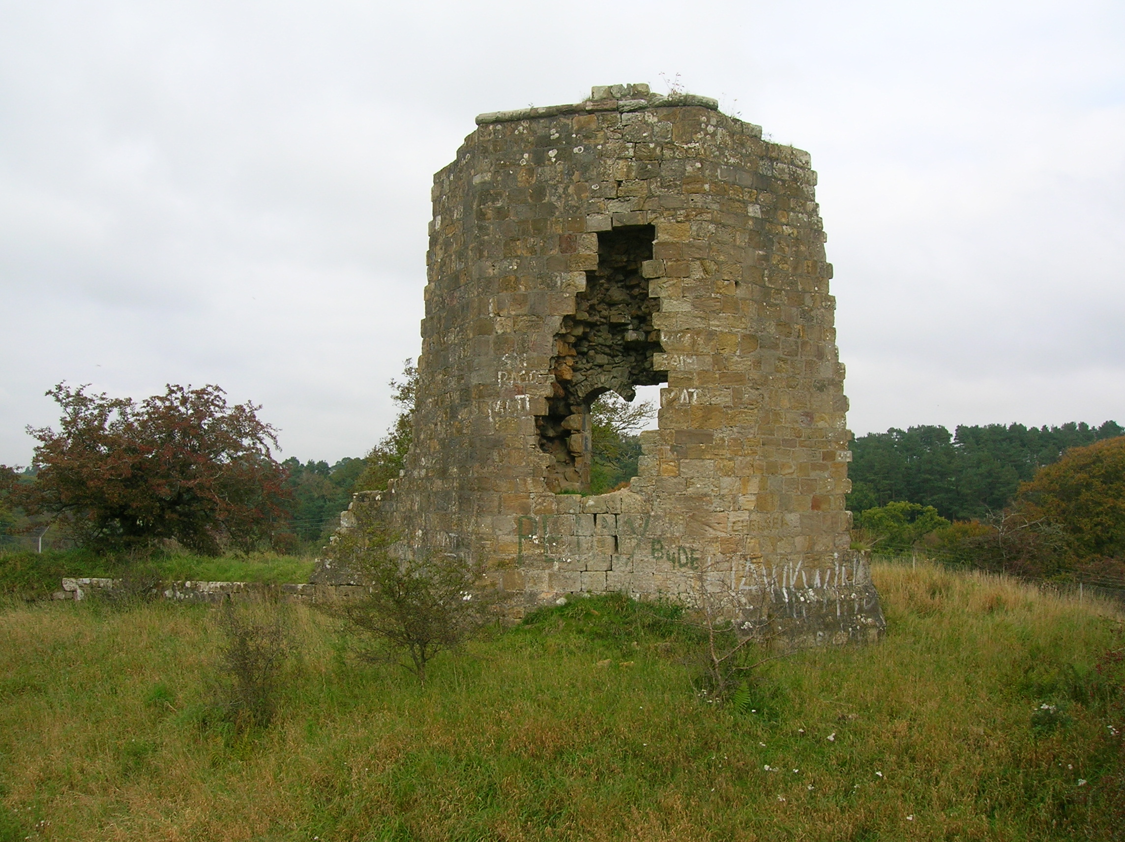
Terringzean Castle, East Ayrshire
Terringzean Castle, also Taringzean, pronounced 'Tringan', is a Category B listed castle ruin lying above the River Lugar and the Terringzean Holm in the...
Related Videos

Ayr & District Rambling Club, Dumfries House to Cumnock Circular, Cumnock, May 1st 2021
After travel restrictions and knee injury I get back to group walking with ADRC as we walk a trail from Dumfries House to Cumnock ...

SCOTLAND HOLIDAY 2018 #newcumnock
Find me on: ❤ Instagram https://www.instagram.com/ammyaurora/ ❤ Twitter https://twitter.com/ammyaurora ❤ Facebook Page ...
Dumfries House and Gardens @Camperjazz
Beautiful Dumfries House #hondajazz #microcamper #solovanlife #scotland #dumfriesandgalloway #dumfrieshouse.

Last Munro 13/10/2018
Hill walking pics.
Nearby Amenities
Located within 500m of 55.449095,-4.3083196Have you been to Polcalk Wood?
Leave your review of Polcalk Wood below (or comments, questions and feedback).