Blackwood Hill
Hill, Mountain in Ayrshire
Scotland
Blackwood Hill

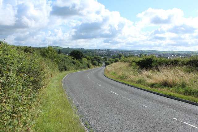
Blackwood Hill is a prominent feature located in Ayrshire, Scotland. Situated near the town of Cumnock, it is part of the Southern Uplands range, which extends across the southern region of the country. Rising to an elevation of approximately 1,273 feet (388 meters), Blackwood Hill is considered a hill rather than a mountain due to its height.
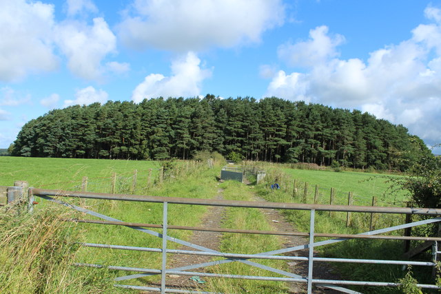
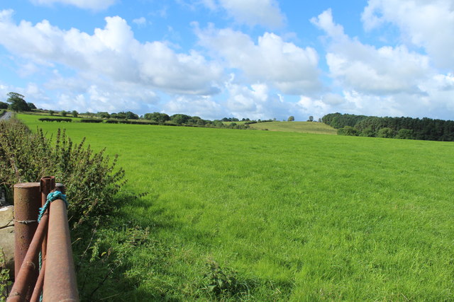
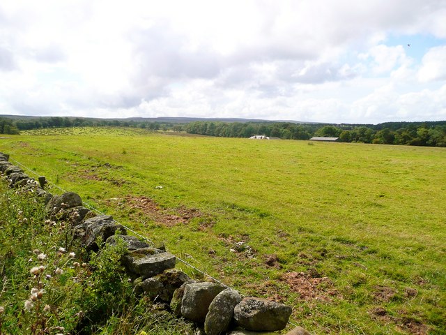
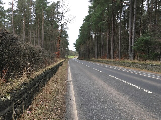
The hill is characterized by its gently sloping sides, covered in a mix of grasses, heather, and shrubs. It offers a picturesque landscape, with panoramic views of the surrounding countryside. On a clear day, visitors can enjoy views stretching as far as the Ayrshire coast and the Isle of Arran.
The hill is a popular destination for outdoor enthusiasts, offering various activities such as hiking and nature walks. Several trails traverse the hill, providing opportunities for exploration and wildlife spotting. Blackwood Hill is known for its diverse flora and fauna, with species like red grouse, common buzzard, and golden plover being frequently observed.
Historically, Blackwood Hill has played a significant role in the local community. It has been used for agriculture, providing grazing land for livestock, and its peat deposits have been harvested for fuel. The hill also holds cultural importance, with various myths and legends associated with its name and surrounding area.
Overall, Blackwood Hill offers both natural beauty and recreational opportunities, making it an attractive destination for locals and tourists alike.
If you have any feedback on the listing, please let us know in the comments section below.
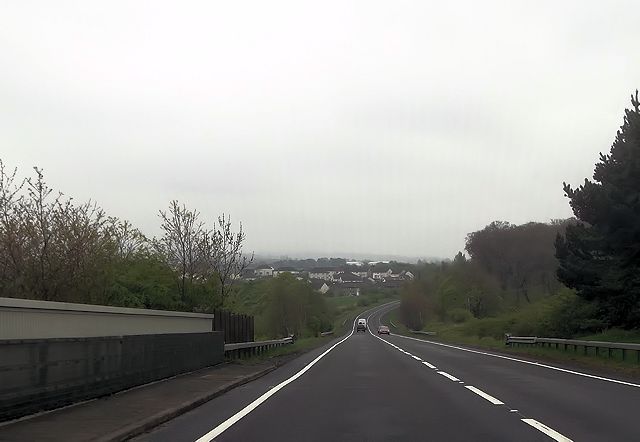
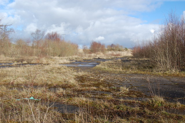
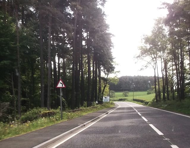
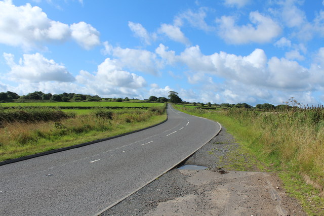
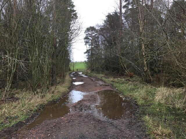
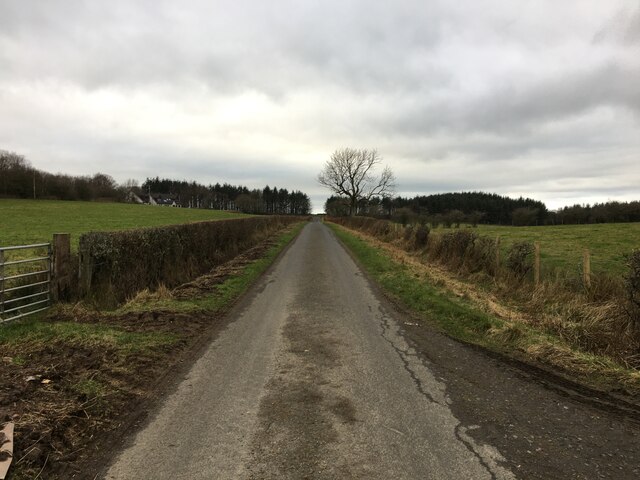
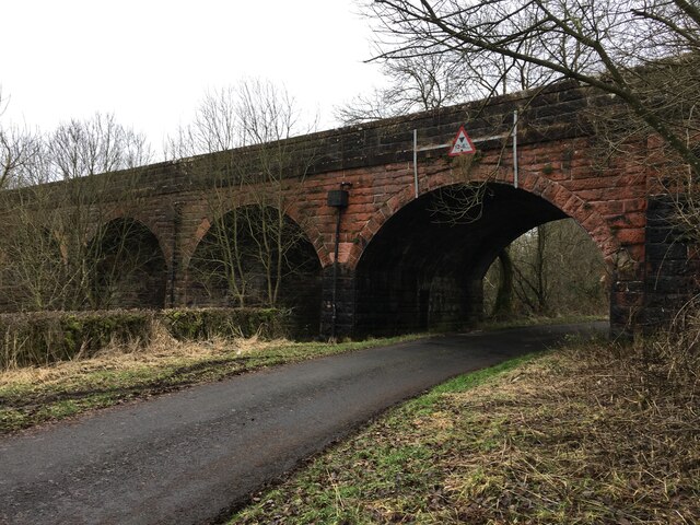
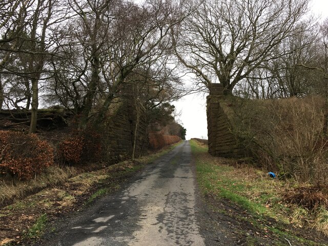
Blackwood Hill Images
Images are sourced within 2km of 55.447574/-4.3064913 or Grid Reference NS5419. Thanks to Geograph Open Source API. All images are credited.


Blackwood Hill is located at Grid Ref: NS5419 (Lat: 55.447574, Lng: -4.3064913)
Unitary Authority: East Ayrshire
Police Authority: Ayrshire
What 3 Words
///formally.grins.countries. Near Cumnock, East Ayrshire
Nearby Locations
Related Wikis

Dumfries House railway station
Dumfries House railway station was a railway station near Dumfries House, East Ayrshire, Scotland. The station was originally part of the Annbank to Cronberry...

Dumfries House
Dumfries House is a Palladian country house in Ayrshire, Scotland. It is located within a large estate, around two miles (3 km) west of Cumnock. Noted...

Skares railway station
Skares railway station was a railway station serving the former mining village of Skares, East Ayrshire, Scotland. The station was originally part of the...
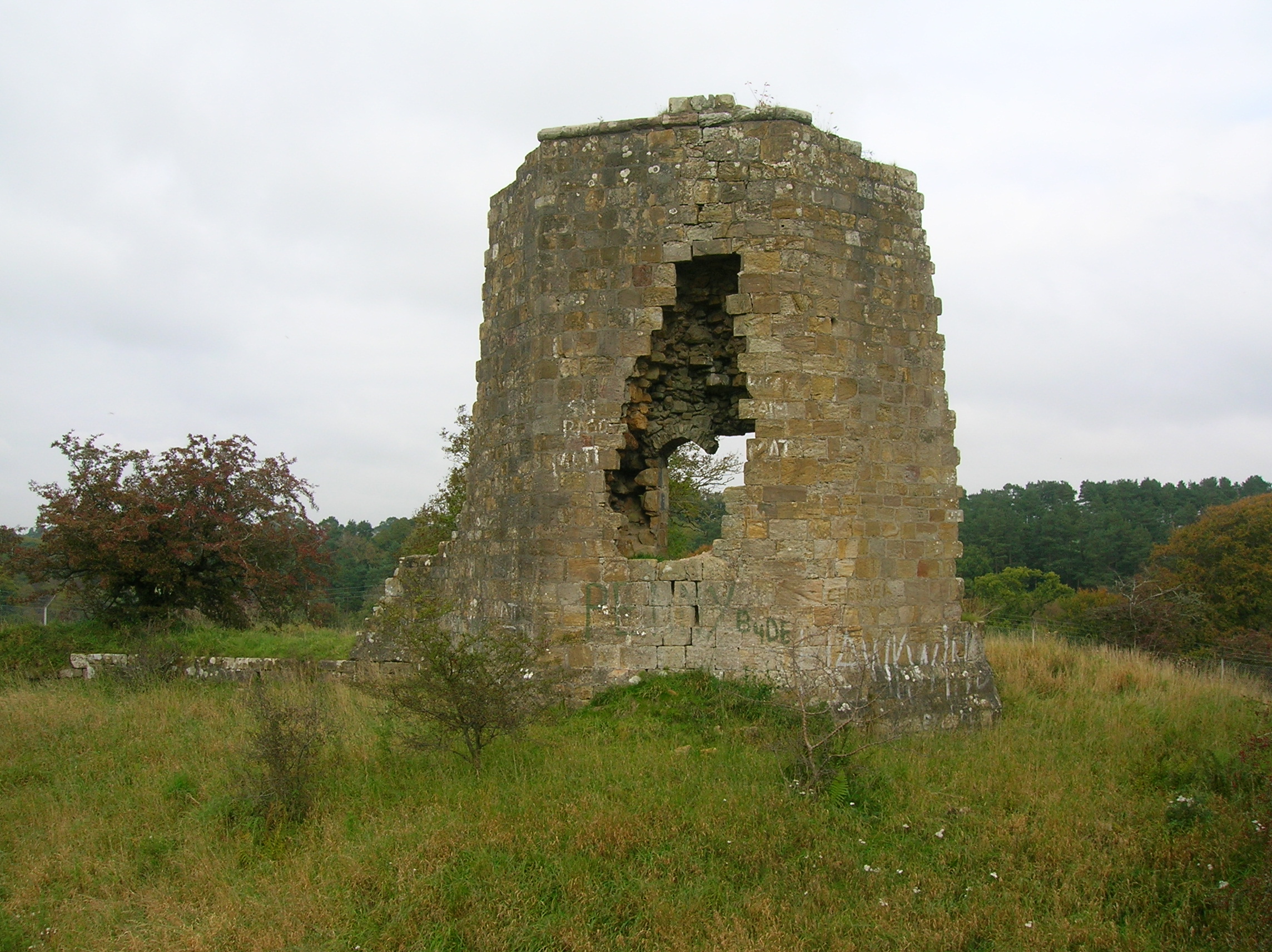
Terringzean Castle, East Ayrshire
Terringzean Castle, also Taringzean, pronounced 'Tringan', is a Category B listed castle ruin lying above the River Lugar and the Terringzean Holm in the...
Nearby Amenities
Located within 500m of 55.447574,-4.3064913Have you been to Blackwood Hill?
Leave your review of Blackwood Hill below (or comments, questions and feedback).