Gallow Hill
Hill, Mountain in Stirlingshire
Scotland
Gallow Hill
Gallow Hill is a prominent hill located in Stirlingshire, Scotland. It stands at an elevation of approximately 155 meters (509 feet) above sea level and is situated about 2 kilometers (1.2 miles) northeast of the town of Falkirk. The hill is easily recognizable due to its distinctive shape and is a well-known landmark in the area.
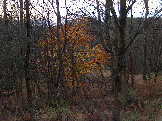
Gallow Hill is predominantly composed of sandstone, which gives it a reddish-brown appearance. Its slopes are covered with grass and scattered patches of heather, creating a picturesque view. The hill is accessible to visitors via a network of well-maintained footpaths, allowing for enjoyable hikes and walks amidst its natural beauty.
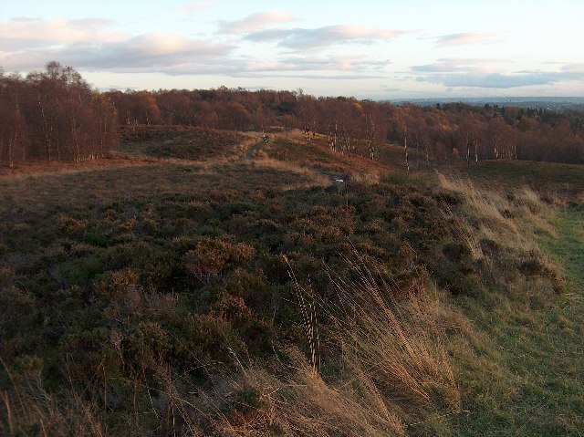
At its summit, Gallow Hill offers stunning panoramic views of the surrounding countryside. On a clear day, it is possible to see the town of Falkirk, the nearby River Carron, and the rolling hills of Stirlingshire. The hill also provides a vantage point for observing the nearby landmarks, such as the famous Falkirk Wheel and the imposing Callendar House.
Gallow Hill holds historical significance as it is believed to have been the site of ancient settlements. Some archaeological excavations have unearthed remnants of Iron Age and Roman occupation, including pottery fragments and defensive structures. These findings contribute to the historical interest surrounding the hill.
Overall, Gallow Hill in Stirlingshire stands as a captivating natural landmark, offering both recreational opportunities and a glimpse into the region's rich historical past.
If you have any feedback on the listing, please let us know in the comments section below.
Gallow Hill Images
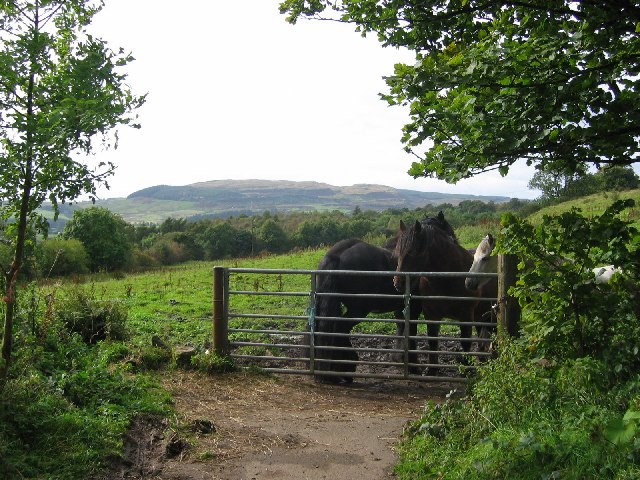
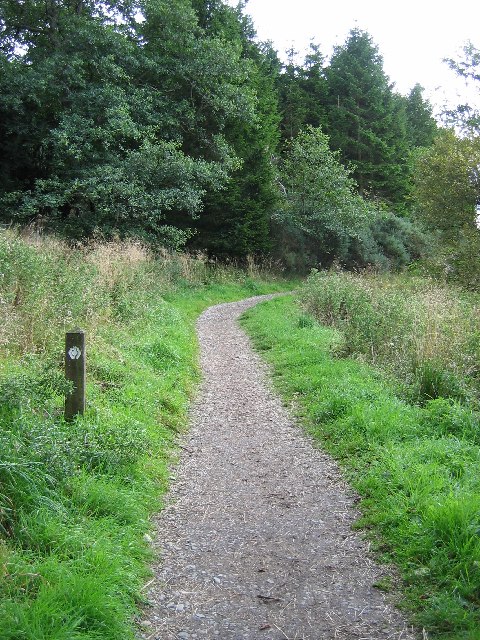
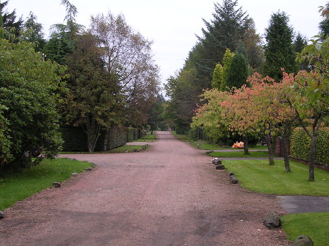
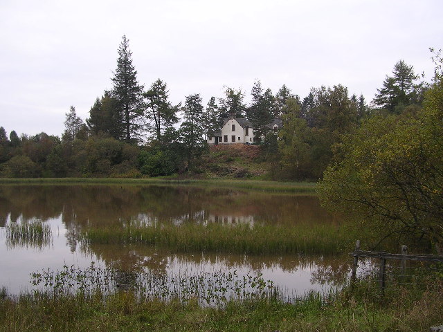
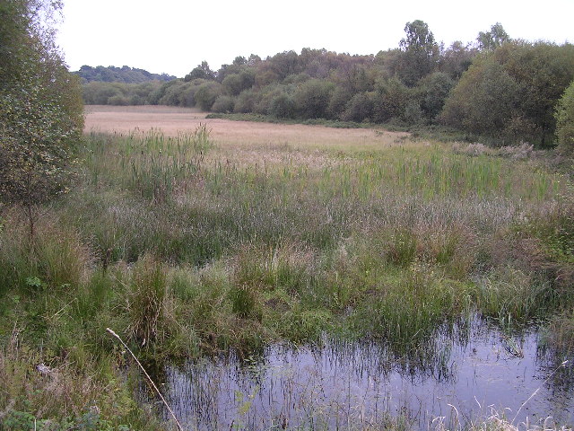
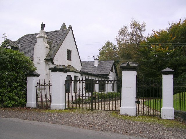
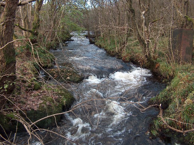
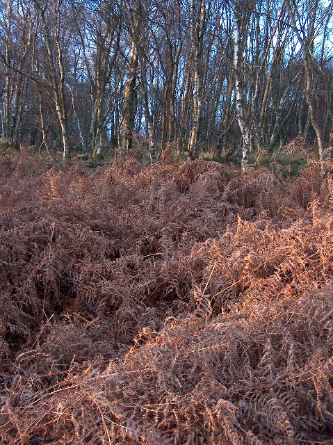
Images are sourced within 2km of 55.971356/-4.3326386 or Grid Reference NS5477. Thanks to Geograph Open Source API. All images are credited.


Gallow Hill is located at Grid Ref: NS5477 (Lat: 55.971356, Lng: -4.3326386)
Unitary Authority: Stirling
Police Authority: Forth Valley
What 3 Words
///symphony.bookshelf.bugs. Near Strathblane, Stirling
Nearby Locations
Related Wikis

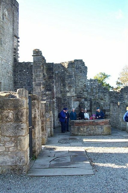
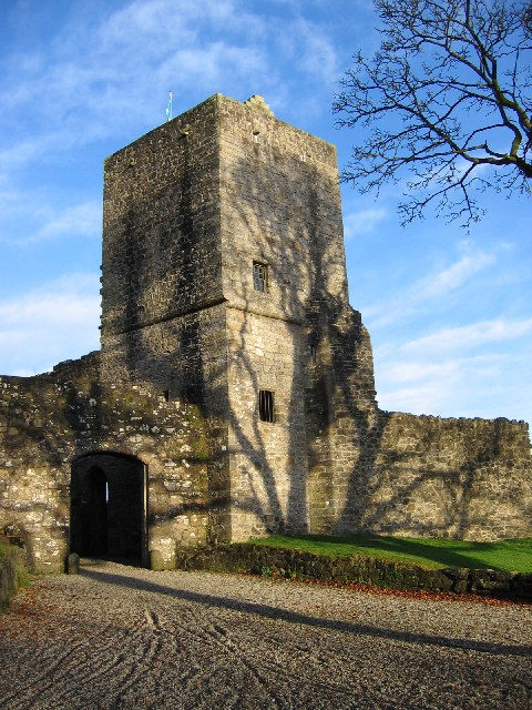
Mugdock Castle
Mugdock Castle was the stronghold of the Clan Graham from the middle of the 13th century. Its ruins are located in Mugdock Country Park, just west of the...
Mugdock Country Park
Mugdock Country Park is a country park and historical site located partly in East Dunbartonshire and partly in Stirling, in the former county of Stirlingshire...
Mugdock
Mugdock is a hamlet in Stirlingshire, Scotland. It lies to the south of the village of Strathblane, and was in the civil parish. In the past the hamlet...
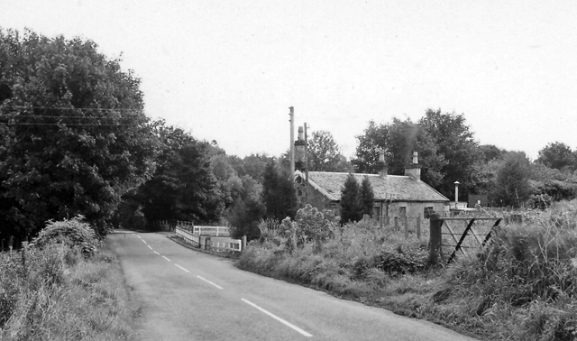
Blanefield railway station
Blanefield railway station served the village of Blanefield, Stirling, Scotland from 1867 to 1959 on the Blane Valley Railway. == History == The station...
Nearby Amenities
Located within 500m of 55.971356,-4.3326386Have you been to Gallow Hill?
Leave your review of Gallow Hill below (or comments, questions and feedback).