Abbey Hey
Settlement in Lancashire
England
Abbey Hey
Abbey Hey is a small suburban area located in the district of Gorton, within the city of Manchester, England. It falls within the boundaries of the historic county of Lancashire. Situated approximately three miles east of Manchester city center, Abbey Hey is primarily a residential area with a population of around 5,000 people.
The area is bordered by the A57 road to the north and the River Medlock to the south, with a mix of housing types ranging from terraced houses to semi-detached properties. Abbey Hey is known for its close-knit community atmosphere, characterized by a strong sense of local pride and community spirit.
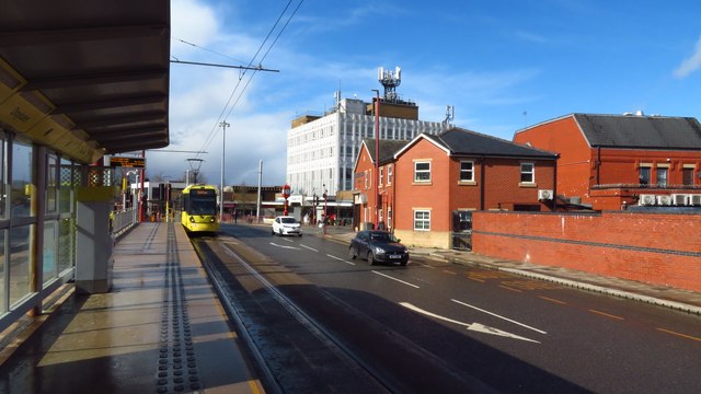
Abbey Hey benefits from its proximity to Manchester city center, which offers a wide range of amenities, entertainment venues, and employment opportunities. The area is well-connected to the rest of Greater Manchester via public transport, with regular bus services and a nearby train station.
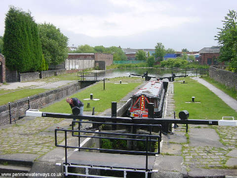
Despite its small size, Abbey Hey has a few local amenities including a primary school, a community center, and several green spaces such as Abbey Hey Park. The area also has a rich industrial heritage, with the presence of former textile mills and factories that played a significant role in the area's history.
Overall, Abbey Hey offers a peaceful residential environment within easy reach of the bustling city center, making it an appealing place to live for those seeking a balance between urban convenience and a sense of community.
If you have any feedback on the listing, please let us know in the comments section below.
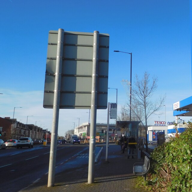
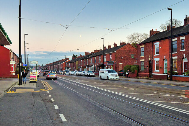
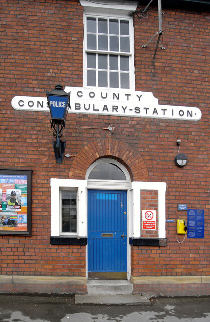
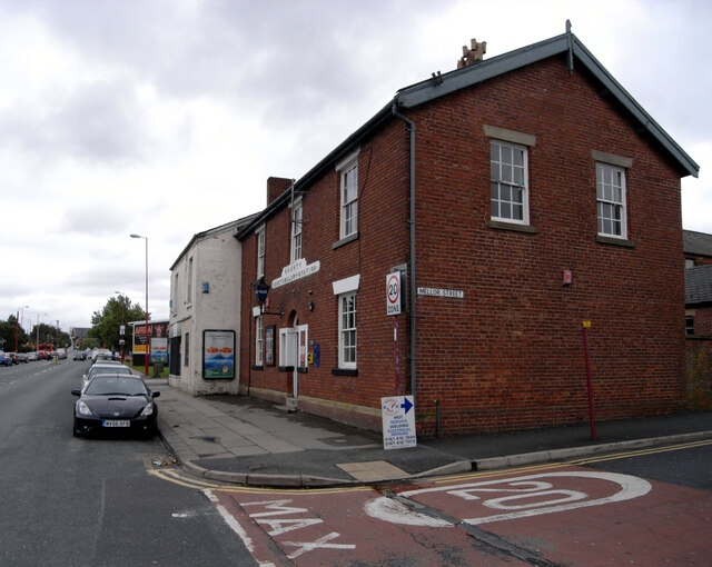
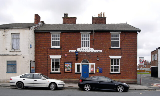
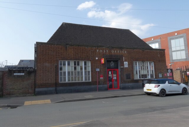
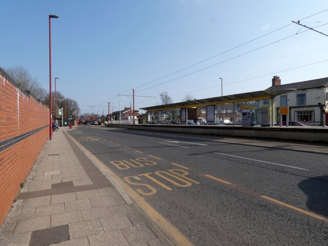
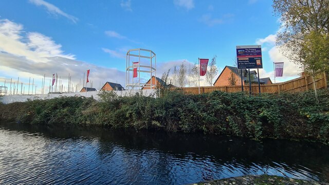
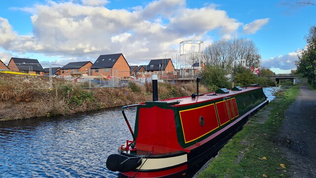
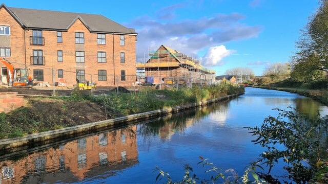
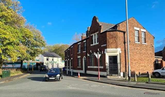
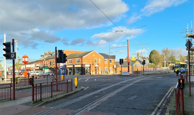
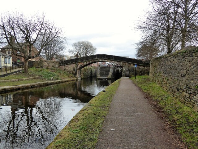
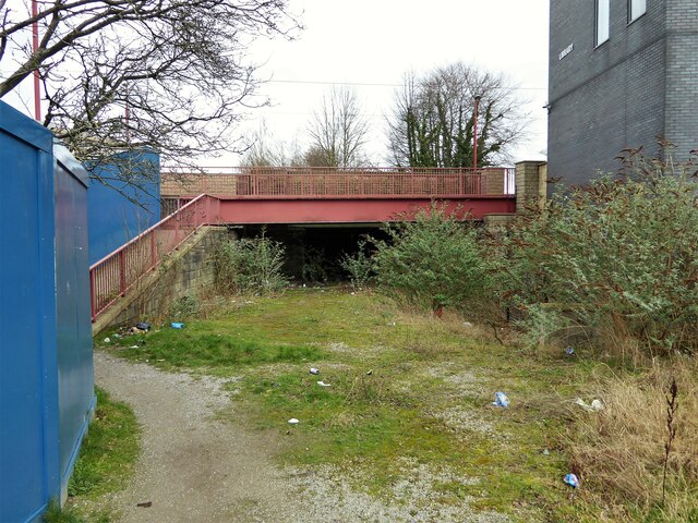
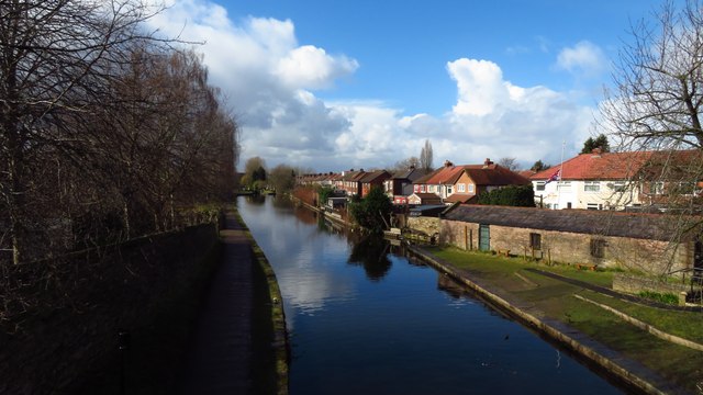
Abbey Hey Images
Images are sourced within 2km of 53.464681/-2.156621 or Grid Reference SJ8996. Thanks to Geograph Open Source API. All images are credited.
Abbey Hey is located at Grid Ref: SJ8996 (Lat: 53.464681, Lng: -2.156621)
Unitary Authority: Manchester
Police Authority: Greater Manchester
What 3 Words
///buyers.spots.vision. Near Droylsden, Manchester
Nearby Locations
Related Wikis

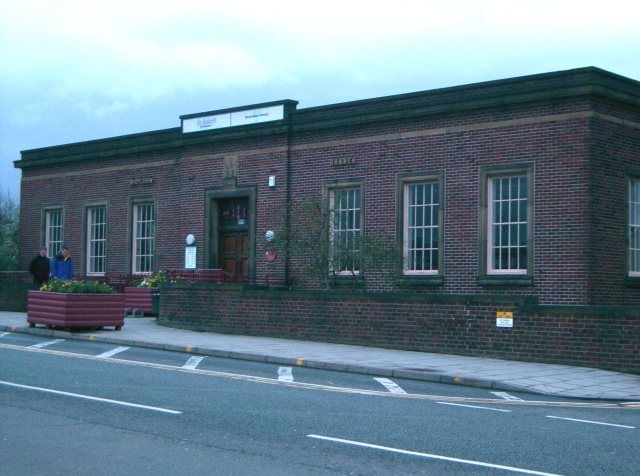
Wright Robinson College
Wright Robinson College is a coeducational secondary school in Abbey Hey, Gorton, Manchester, England.The college caters to pupils of all socio-economic...

Gorton Reservoirs
Gorton Reservoirs are two reservoirs on the boundary of Tameside and Manchester in the North West of England. They are Gorton Upper Reservoir and Gorton...
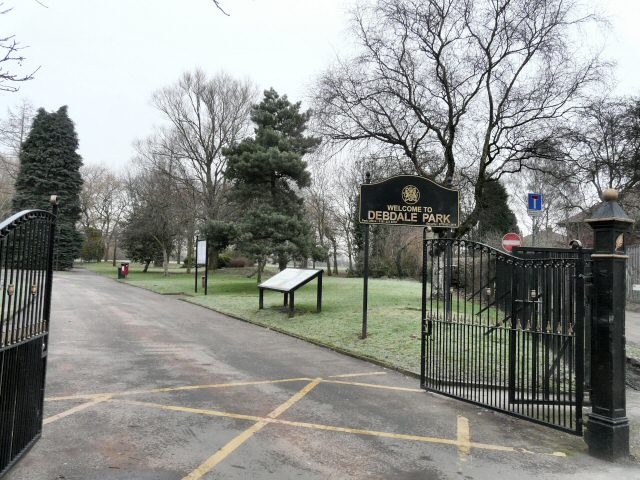
Debdale Park
Debdale Park is an inner-city park, located in the Gorton area of Manchester, England. At around 45 acres (18 ha), it is one of the largest inner-city...
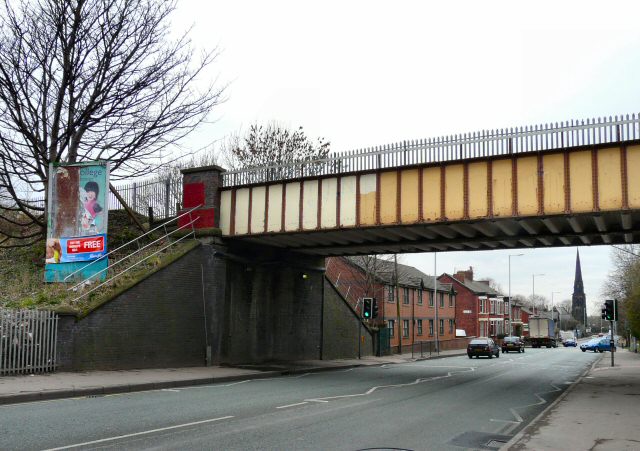
Hyde Road railway station
Hyde Road was a railway station in Gorton, Manchester, England, on the Fallowfield Loop Line. It opened in 1892 and closed in 1958, when local passenger...
Gorton Heritage Trail
Gorton Heritage Trail is located approximately 3 miles from the centre of Manchester, England. The trail has been designed to promote and conserve the...

Gorton and Abbey Hey (ward)
Gorton and Abbey Hey is an electoral ward of Manchester, England created by the Local Government Boundary Commission for England (LGBCE) from the previous...

Gorton railway station
Gorton railway station serves Gorton district of the city of Manchester, England. The station is on the Manchester-Glossop Line and is 2+1⁄2 miles (4.0...

Brookfield Unitarian Church
Brookfield Unitarian Church, Gorton, Manchester, England is a Victorian Gothic church. It is a member of the General Assembly of Unitarian and Free Christian...
Nearby Amenities
Located within 500m of 53.464681,-2.156621Have you been to Abbey Hey?
Leave your review of Abbey Hey below (or comments, questions and feedback).