Abbey Green

Settlement in Staffordshire Staffordshire Moorlands

England

Abbey Green

Funfair in Leek A funfair on Westwood Recreation Ground in Leek.
Funfair in Leek Credit: David Weston

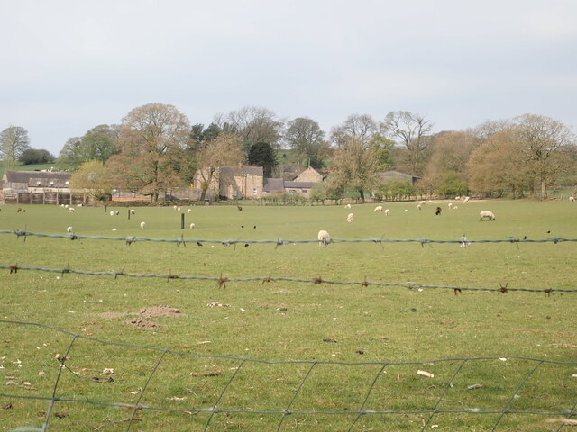
Abbey Green is a quaint village located in the county of Staffordshire, England. Situated just a few miles northwest of the bustling town of Burton upon Trent, Abbey Green offers a peaceful and picturesque setting. The village is surrounded by lush green fields and rolling hills, providing a serene atmosphere for its residents and visitors alike.

One of the defining features of Abbey Green is its rich history. The village takes its name from the nearby ruins of Croxden Abbey, which was founded in the 12th century. These ruins attract history enthusiasts and tourists from far and wide, who come to marvel at the architectural remnants and learn about the abbey's past.

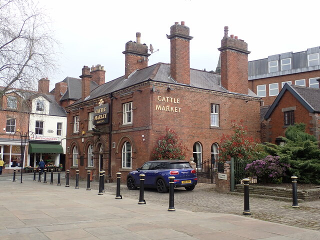
Although small in size, Abbey Green has a strong sense of community. The village is home to a close-knit population who take pride in preserving the village's heritage. Traditional stone cottages line the streets, adding to the village's charm and character. The local pub, The Abbey Arms, serves as a hub for social gatherings and offers a friendly atmosphere for both locals and visitors to enjoy.

For those looking to explore the surrounding area, Abbey Green is conveniently located near several attractions. The nearby town of Uttoxeter is famous for its racecourse, hosting regular horse racing events that draw crowds of spectators. The Staffordshire Moorlands and the Peak District National Park are also within easy reach, offering opportunities for outdoor activities such as hiking, cycling, and wildlife spotting.

In conclusion, Abbey Green is a delightful village in Staffordshire, combining its historical heritage with a warm community spirit and access to natural beauty. Whether one is interested in history, seeking tranquility, or exploring the great outdoors, Abbey Green has something to offer to all.

If you have any feedback on the listing, please let us know in the comments section below.
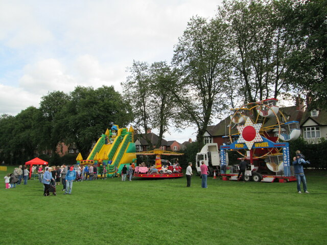
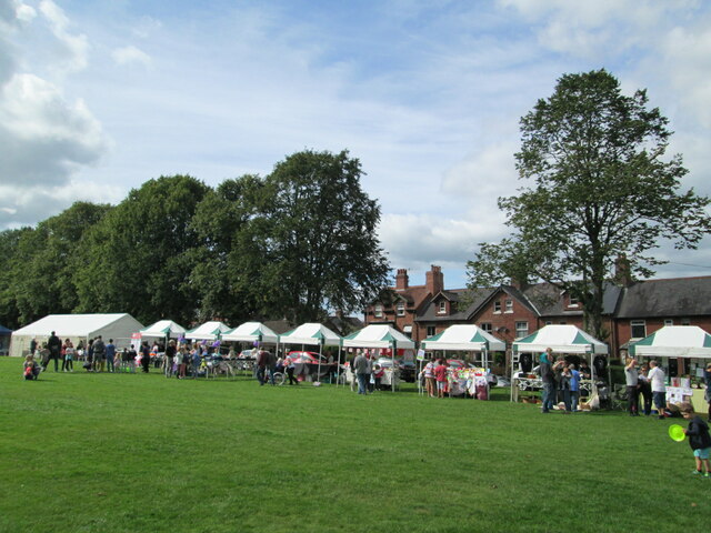
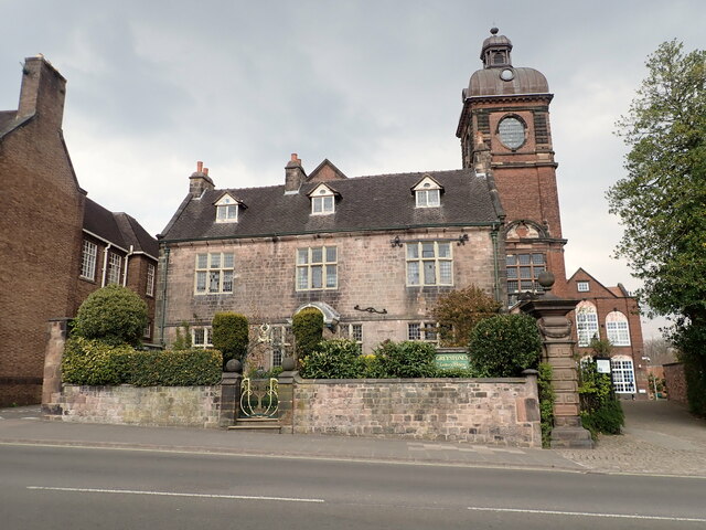
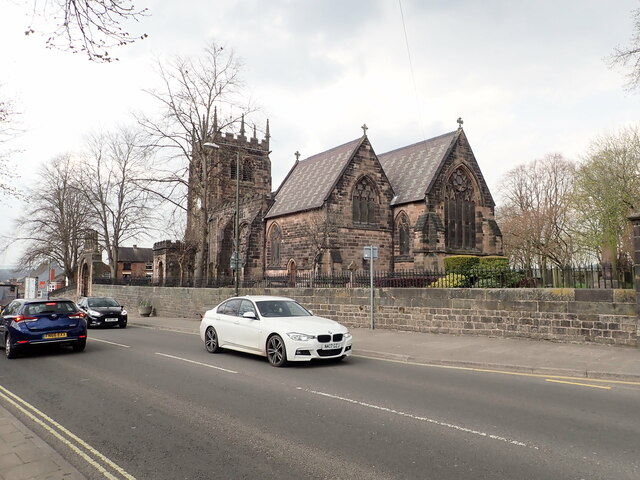
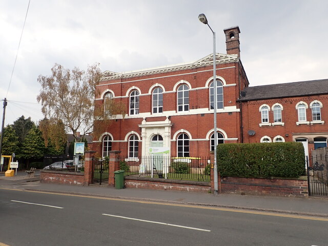
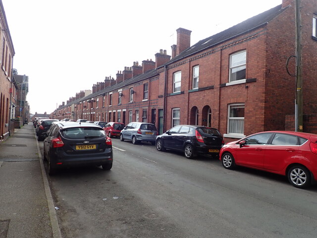
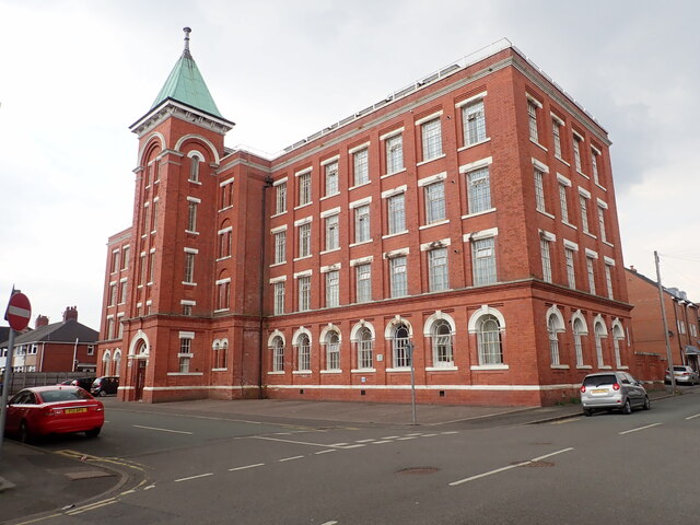
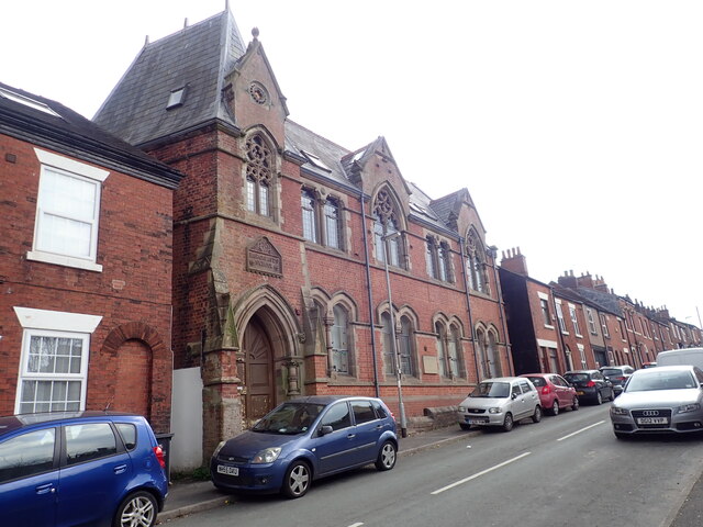
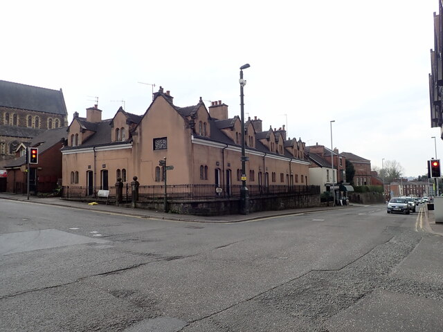
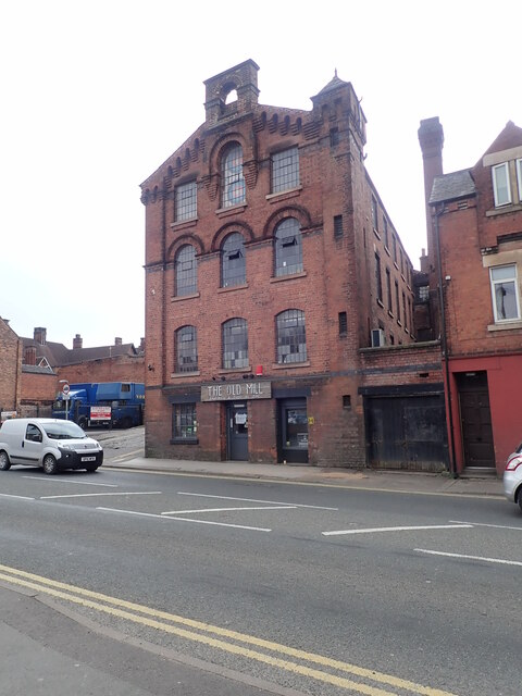
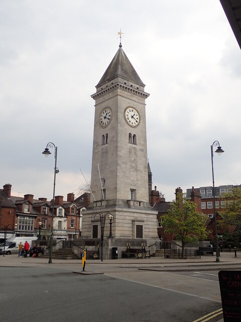
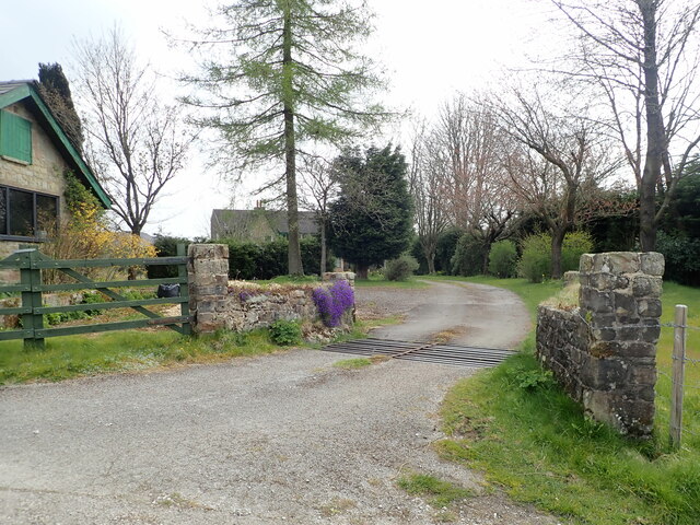
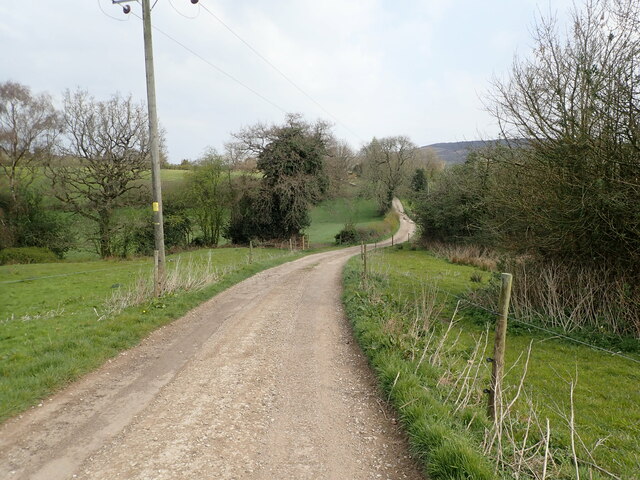
Abbey Green Images

Images are sourced within 2km of 53.117718/-2.032838 or Grid Reference SJ9757. Thanks to Geograph Open Source API. All images are credited.

Funfair in Leek A funfair on Westwood Recreation Ground in Leek.
Funfair in Leek
A funfair on Westwood Recreation Ground in Leek.
Funfair in Leek Stalls at the fair on Westwood Recreation Ground in Leek.
Funfair in Leek
Stalls at the fair on Westwood Recreation Ground in Leek.
Greystones House This attractive 17th century house in Leek is a grade II* listed building. The tower behind belongs to the Nicholson Institute, now Leek Public Library. The Institute was built in 1882
Greystones House
This attractive 17th century house in Leek is a grade II* listed building. The tower behind belongs to the Nicholson Institute, now Leek Public Library. The Institute was built in 1882
Parish Church of St Edward the Confessor The Parish Church is Leek's only medieval church, dedicated to Edward, King of England between 1042-1066. <span class="nowrap"><a title="https://www.search.staffspasttrack.org.uk/Details.aspx?&ResourceID=5362" rel="nofollow ugc noopener" href="https://www.search.staffspasttrack.org.uk/Details.aspx?&ResourceID=5362">Link</a><img style="margin-left:2px;" alt="External link" title="External link - shift click to open in new window" src="https://s1.geograph.org.uk/img/external.png" width="10" height="10"/></span>
Parish Church of St Edward the Confessor
The Parish Church is Leek's only medieval church, dedicated to Edward, King of England between 1042-1066. LinkExternal link
The Old Grammar School, Leek Former school, dated 1723. Over the door an inscription reads "This building erected by the Earl of Macclesfield, Lord High Chancellor of Great Britain, Anno Domini, 1723". Now used by the 2nd Leek Scout Group.
The Old Grammar School, Leek
Former school, dated 1723. Over the door an inscription reads "This building erected by the Earl of Macclesfield, Lord High Chancellor of Great Britain, Anno Domini, 1723". Now used by the 2nd Leek Scout Group.
Gateway Church, West Street
Looking down Picton Street
Former Silk Mill on Waterloo Street Grade II listed building, now converted into flats.
Former Silk Mill on Waterloo Street
Grade II listed building, now converted into flats.
Hargreaves School building, Alsop Street Former school, built in 1873. The school was built for Leek Congregational Church and named after a former minister. It is listed grade II and now in use commercially.
Hargreaves School building, Alsop Street
Former school, built in 1873. The school was built for Leek Congregational Church and named after a former minister. It is listed grade II and now in use commercially.
Ash Almshouses, Leek Grade II listed almshouses on Broad Street. On the gable end is an inscription - "The gift of Elizabeth Ash, the eldest daughter of William Jolliffe". 
"An almshouse, for eight poor widows, was endowed in the year 1696, by Elizabeth Ash, widow, of this town.  Each widow is allowed two shillings per week, fuel, and a new gown once in two years." (from "A Topographical History of Staffordshire" by William Pitt)
Ash Almshouses, Leek
Grade II listed almshouses on Broad Street. On the gable end is an inscription - "The gift of Elizabeth Ash, the eldest daughter of William Jolliffe". "An almshouse, for eight poor widows, was endowed in the year 1696, by Elizabeth Ash, widow, of this town. Each widow is allowed two shillings per week, fuel, and a new gown once in two years." (from "A Topographical History of Staffordshire" by William Pitt)
The Old Mill, Haywood Street Grade II listed former Silk Mill, now converted to a restaurant and public house. It was built about 1876.
The Old Mill, Haywood Street
Grade II listed former Silk Mill, now converted to a restaurant and public house. It was built about 1876.
Clock tower War Memorial The war memorial was the gift to the town of Sir Arthur Nicholson (a local silk manufacturer), and his wife, in memory of their son, Lieutenant Basil Lee Nicholson and other local men killed in WWI. Made of Portland stone, it is grade II listed.
Clock tower War Memorial
The war memorial was the gift to the town of Sir Arthur Nicholson (a local silk manufacturer), and his wife, in memory of their son, Lieutenant Basil Lee Nicholson and other local men killed in WWI. Made of Portland stone, it is grade II listed.
The Cattle Market Public house on Fountain Street, Leek
The Cattle Market
Public house on Fountain Street, Leek
The Roebuck Inn Originally a timber-framed house but in long use as an inn. It is dated 1626 and grade II listed
The Roebuck Inn
Originally a timber-framed house but in long use as an inn. It is dated 1626 and grade II listed
The Cock Inn, Derby Street A pub has been on this site for over 300 years.
The Cock Inn, Derby Street
A pub has been on this site for over 300 years.
Franklins Farm, Meerbrook
Cattle grid on the track to Hillswood End
Farm track to North Hillswood
Show me another place!

Abbey Green is located at Grid Ref: SJ9757 (Lat: 53.117718, Lng: -2.032838)

Administrative County: Staffordshire

District: Staffordshire Moorlands

Police Authority: Staffordshire

What 3 Words

///tweezers.bands.wells. Near Leek, Staffordshire

Nearby Locations

Abbey Green

Related Wikis

Abbey Green, Staffordshire Moorlands

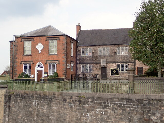
Abbey Green is a village near Leek in the English county of Staffordshire. The village is close to the site of Dieulacres Abbey. The abbey was founded...

Dieulacres Abbey

Dieulacres Abbey was a Cistercian monastery established by Ranulf, Earl of Chester at Poulton in Cheshire. It moved to the present site at Abbey Green...

Highfield, Leek

Highfield is a cricket ground in Leek, Staffordshire. The ground is located just outside of the town along the Macclesfield Road, which itself forms part...

Brindley Water Mill

The Brindley Water Mill is a water mill in the town of Leek, Staffordshire, England, built in 1752 by James Brindley. It was restored to working order...

Leek Town F.C.

Leek Town Football Club is an English football club based in Leek, Staffordshire, playing in the Northern Premier League Division One West, the eighth...

Leek, Staffordshire

Leek is a market town and civil parish in the county of Staffordshire, England, on the River Churnet. It is situated about 10 miles (16 km) north east...

Ball Haye Green

Ball Haye Green is an area of Leek in Staffordshire, England. The area was historically an estate in the township of Tittesworth. It was developed as...

St Edward the Confessor's Church, Leek

St Edward the Confessor's Church is an active Anglican church in Leek, Staffordshire, England. The building, which dates back to the 13th century, is listed...

Related Videos

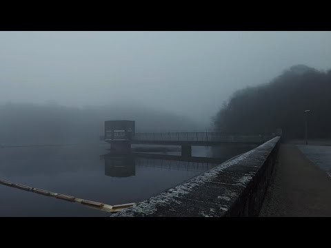
Dense Winter Fog Walk, Tittersworth Reservoir, English Countryside 4K

https://www.buymeacoffee.com/Daveswalks All support is hugely appreciated and it helps me keep the channel going! No talking ...

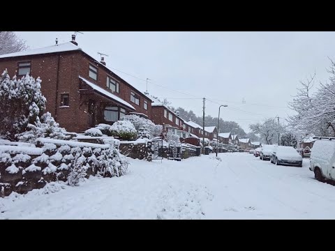
Leek Village Snow Walk, English Countryside 4K

https://www.buymeacoffee.com/Daveswalks All support is hugely appreciated and it helps me keep the channel going! No talking ...

Severn Trent Mountain Challenge 2024! #hiking #Staffordshire #camping #stcr2024 @linkingupderby

linkingupderby #ukgetaway #greatbritishdogwalking #peakdistrict #peakdistrictwalks #peakdistrictviews #theroachespeakdistrict ...

Gun Trig From Tittesworth Reservoir. A 6.54 Mile Circular Hike In The Peak District National Park.

A 6.54 mile circular hike from Tittesworth Reservoir to Gun Trig Point. It's a beautiful hike but a bit of a bogfest. if you are thinking of ...

Nearby Amenities

Located within 500m of 53.117718,-2.032838
Post Box
Check Date: 2021-05-12
Ref: ST13 726
Lat/Long: 53.1164613/-2.0316903
Barrier: stile
Steps: 1
Stile: stepover
Lat/Long: 53.117496/-2.031437
Barrier: kissing_gate
Lat/Long: 53.121265/-2.028995
Bench
Backrest: yes
Check Date: 2021-05-12
Lat/Long: 53.1212229/-2.0290618
Abbey Green
Place: hamlet
Source: OS Open Names
Wikidata: Q4664020
Wikipedia: en:Abbey Green, Staffordshire Moorlands
Lat/Long: 53.1171492/-2.0328273
The data included in this document is from www.openstreetmap.org. The data is made available under ODbL.

Have you been to Abbey Green?

Leave your review of Abbey Green below (or comments, questions and feedback).