Abbey Green
Settlement in Shropshire
England
Abbey Green

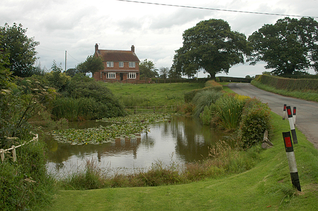
Abbey Green is a quaint village located in the county of Shropshire, England. Situated in the heart of the beautiful countryside, this peaceful hamlet offers a serene and idyllic setting for its residents and visitors alike. With a population of around 300, Abbey Green is a close-knit community that exudes a friendly and welcoming atmosphere.
The village takes its name from the nearby Lilleshall Abbey, a former monastic house founded in the 12th century. The ruins of the abbey, now a popular tourist attraction, are just a short distance from Abbey Green. This historic connection adds to the village's charm and provides a glimpse into its rich past.
The landscape surrounding Abbey Green is characterized by rolling hills, lush green fields, and picturesque woodlands. The village is an ideal base for exploring the natural beauty of Shropshire, as it is located within close proximity to several nature reserves and walking trails.
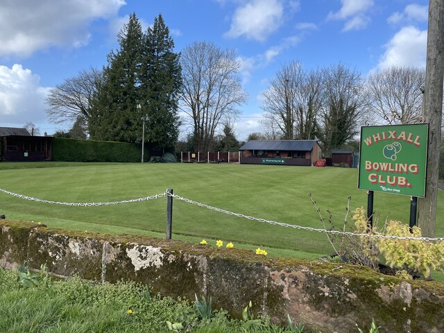
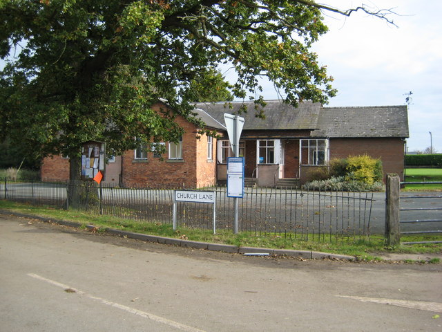
Despite its small size, Abbey Green boasts a range of amenities to cater to the needs of its residents. These include a village hall, a local pub, and a post office. The village also hosts various community events throughout the year, fostering a strong sense of community spirit.
Transport links to Abbey Green are well-established, with regular bus services connecting the village to nearby towns and cities. The village is conveniently located just a short drive away from the M54 motorway, facilitating easy access to major transport routes.
In conclusion, Abbey Green is a charming village in Shropshire that offers a tranquil and picturesque setting, rich in history and natural beauty. Its close-knit community and range of amenities make it an appealing place to live or visit for those seeking a peaceful rural retreat.
If you have any feedback on the listing, please let us know in the comments section below.
Abbey Green Images
Images are sourced within 2km of 52.893927/-2.7347499 or Grid Reference SJ5033. Thanks to Geograph Open Source API. All images are credited.


Abbey Green is located at Grid Ref: SJ5033 (Lat: 52.893927, Lng: -2.7347499)
Unitary Authority: Shropshire
Police Authority: West Mercia
What 3 Words
///pronouns.shifters.gallons. Near Wem, Shropshire
Nearby Locations
Related Wikis

Abbey Green, Shropshire
Abbey Green is a hamlet in Shropshire, England at grid reference SJ5033. Abbey Green forms part of the civil parish of Whixall. == See also == Listed buildings...

Prees Branch Canal Nature Reserve
Prees Branch Canal Nature Reserve is a Shropshire Wildlife Trust nature reserve in the civil parish of Whixall, Shropshire, England. It is a Site of Special...
Whixall
Whixall is, by land area, the third largest inland village in England and a civil parish in Shropshire, England. It is documented in the Domesday Book...
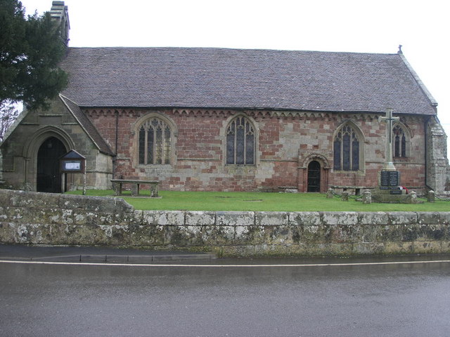
St Mary's Church, Edstaston
St Mary's Church is in the village of Edstaston, in the civil parish of Wem Rural, Shropshire, England. It is an active Anglican parish church in the...
Quina Brook
Quina Brook is a hamlet in north Shropshire, near the border between England and Wales. Population details for the 2011 census are found under Wem Rural...

Welsh End
Welsh End is a small rural hamlet in the civil parish of Whixall, Shropshire, England. The hamlet is adjacent to the border with the Welsh county of Clwyd...
Coton, Shropshire
Coton is a village in Shropshire. It lies near the road from Whitchurch to Wem, about one mile southeast of Hollinwood. Coton Hall, once home to Viscount...

Prees railway station
Prees railway station serves the village of Prees in Shropshire, England, although the station is a mile to the west of the village and in the parish of...
Related Videos

301 - Frozen Canal Puts Our Plans in Jeopardy! Special Guest on The Last Cruise Before Holiday
Today we head to the Prees branch of the Llangollen canal, which is where we plan to get a pump-out and to moor our boat ...

300 - We Got Lost on Whixall Moss, in The Snow! Narrowboat Cruise To Bettisfield, Llangollen Canal
Today we head to bridge 50 and wind our 70ft narrowboat around and head back to Bettisfield to get some water and rid of our ...
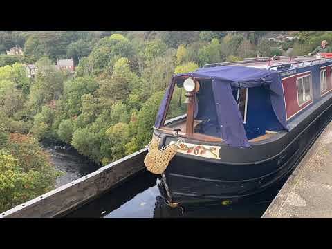
Narrowboat along the Llangollen Canal - October 2021
Travelling along the Llangollen Canal aboard Narrowboat "Acorn" in October 2021.

Whitchurch to Whixall, Prees Junction - A Narrowboat journey on the Llangollen canal.
Whitchurch, bridge 33 to Whixall, Prees Junction - A Narrowboat journey on the Llangollen canal. 30th July 2019. Hi, Just in case ...
Nearby Amenities
Located within 500m of 52.893927,-2.7347499Have you been to Abbey Green?
Leave your review of Abbey Green below (or comments, questions and feedback).