Abbey Hulton

Settlement in Staffordshire

England

Abbey Hulton

Ash Road Terrace on Werrington Road
Ash Road Terrace on Werrington Road Credit: Eirian Evans

Abbey Hulton is a small village located in the county of Staffordshire, in the West Midlands region of England. Situated approximately 3 miles north of the city of Stoke-on-Trent, Abbey Hulton is part of the Stoke-on-Trent Green Belt and falls within the Stoke-on-Trent City Council area.

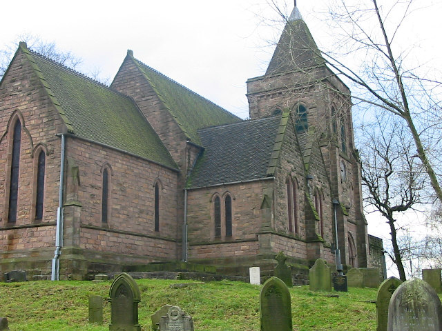
The village is known for its rich history, dating back to medieval times when it was home to a Cistercian abbey, hence the name Abbey Hulton. The abbey was founded in the 13th century and played a significant role in the local community until its dissolution in the 16th century.

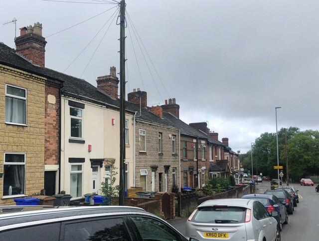
Today, Abbey Hulton is a predominantly residential area with a close-knit community. The village offers a mix of housing, ranging from traditional stone cottages to modern developments. It also benefits from several local amenities including a primary school, a post office, a community center, and a small shopping precinct.

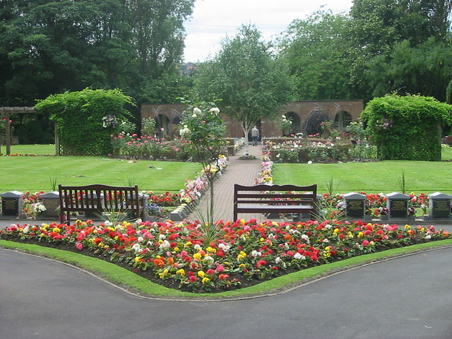
The surrounding countryside provides abundant green spaces, making Abbey Hulton an attractive location for outdoor enthusiasts. The nearby Northwood Park is a popular spot for leisure activities and offers picturesque walking trails.

Transport links in Abbey Hulton are well-connected, with regular bus services to Stoke-on-Trent and the wider area. The village is also conveniently located near major road networks, including the A500 and the M6 motorway, providing easy access to surrounding towns and cities.

Overall, Abbey Hulton offers a peaceful and close-knit community atmosphere, with a rich history and convenient amenities, making it an appealing place to call home.

If you have any feedback on the listing, please let us know in the comments section below.
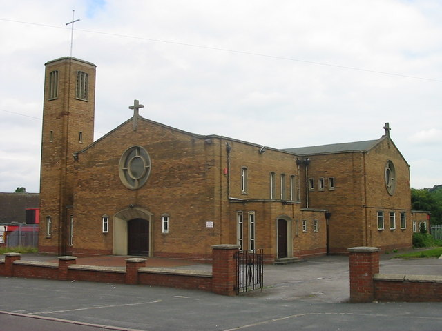
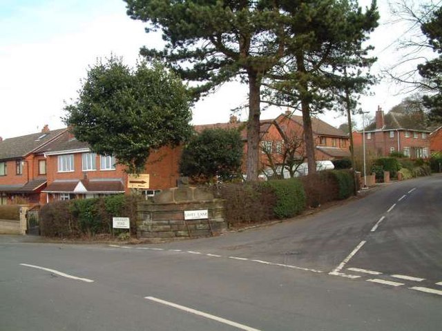
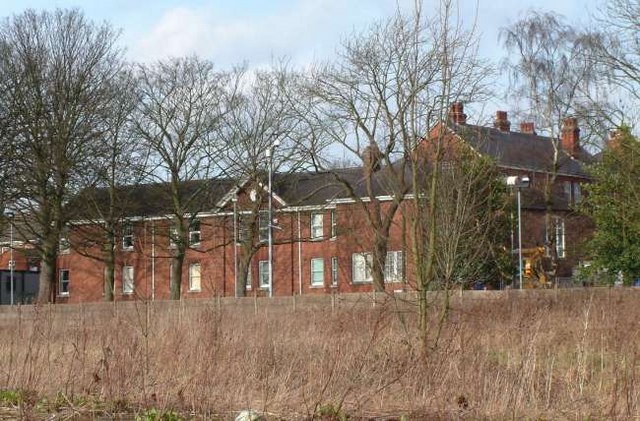
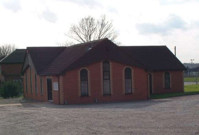
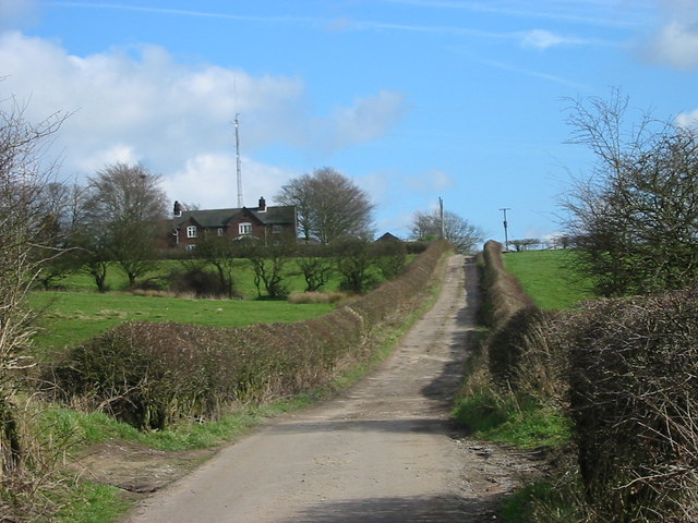
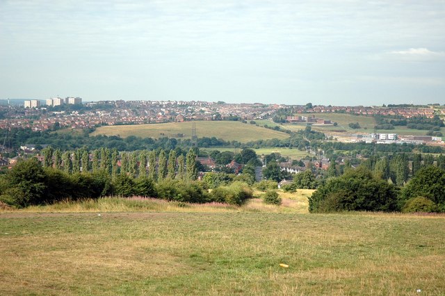
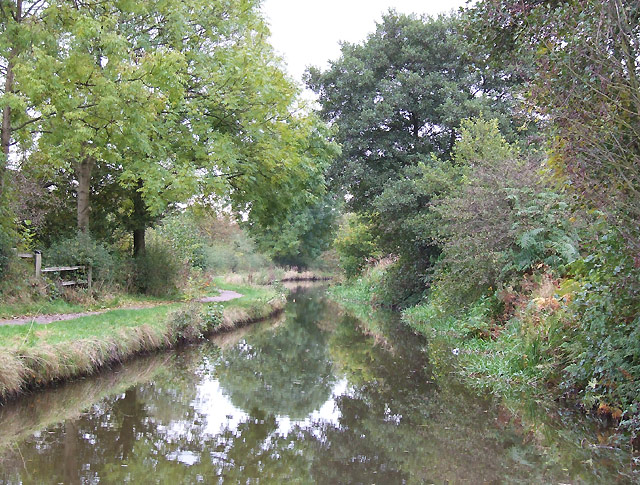
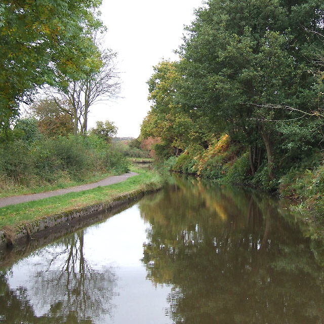
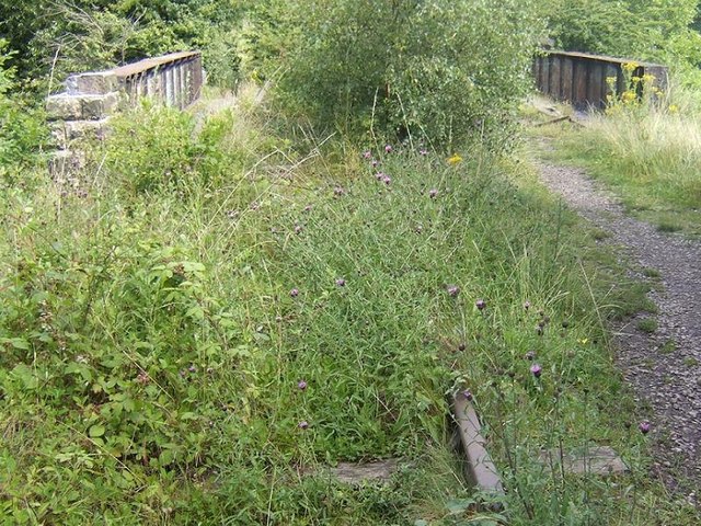
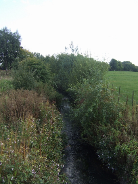
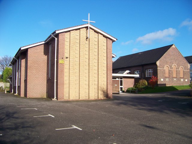
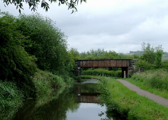
Abbey Hulton Images

Images are sourced within 2km of 53.035118/-2.140893 or Grid Reference SJ9048. Thanks to Geograph Open Source API. All images are credited.

Ash Road Terrace on Werrington Road
St Mary's church, Bucknall The church was built in 1718 and became a parish church in 1807.
St Mary's church, Bucknall
The church was built in 1718 and became a parish church in 1807.
Bucknall War Memorial A small memorial to the men of the parish who died during World War One. Situated by the side of the A52 road on the outskirts of Stoke on Trent.
Bucknall War Memorial
A small memorial to the men of the parish who died during World War One. Situated by the side of the A52 road on the outskirts of Stoke on Trent.
Carmountside Cemetery The Memorial Gardens at Carmountside Cemetery, Stoke on Trent where cremated ashes are spread.
Carmountside Cemetery
The Memorial Gardens at Carmountside Cemetery, Stoke on Trent where cremated ashes are spread.
St Benedict, RC Church, Abbey Hulton
Housing at Eaves Lane, Abbey Hulton Corner of Eaves Lane (to the right) and Greasely Road.
Housing at Eaves Lane, Abbey Hulton
Corner of Eaves Lane (to the right) and Greasely Road.
Bucknall Hospital Specialised hospitals like Bucknall Hospital, run by the local authorities, were opening to treat infectious diseases, and to prevent the spread of the disease by isolating infected patients.
Bucknall Hospital
Specialised hospitals like Bucknall Hospital, run by the local authorities, were opening to treat infectious diseases, and to prevent the spread of the disease by isolating infected patients.
Bucknall Pentecostal Church Assemblies of God Church on Eaves Lane, Bucknall.
Bucknall Pentecostal Church
Assemblies of God Church on Eaves Lane, Bucknall.
Woodhead Farm Woodhead Road, Abbey Hulton, Stoke on Trent, showing the farm and communications mast behind.
Woodhead Farm
Woodhead Road, Abbey Hulton, Stoke on Trent, showing the farm and communications mast behind.
View Across to Birches Head Taken from the land behind the Crematorium next to Woodhead Lane
View Across to Birches Head
Taken from the land behind the Crematorium next to Woodhead Lane
Abbey Hulton, St. John
Caldon Canal, Abbey Hulton, Staffordshire
Railway Bridge over the Caldon Canal The line from Stoke was originally part of the North Staffordshire Railway network, established in the 1840s. The line carried its last traffic, limestone from Caldon Low, in 1989. It is officially "mothballed", which is why the tracks are still in place. Various proposals to reopen the line have come and gone but there is still the possibility that the line will be resurrected, some day.
Railway Bridge over the Caldon Canal
The line from Stoke was originally part of the North Staffordshire Railway network, established in the 1840s. The line carried its last traffic, limestone from Caldon Low, in 1989. It is officially "mothballed", which is why the tracks are still in place. Various proposals to reopen the line have come and gone but there is still the possibility that the line will be resurrected, some day.
River Trent downstream of Abbey Farm The waft of sewage treatment hangs in the air. The river has entered the Waterside Park. The City Council is making an attempt to make something of the river from which the city takes its name.
River Trent downstream of Abbey Farm
The waft of sewage treatment hangs in the air. The river has entered the Waterside Park. The City Council is making an attempt to make something of the river from which the city takes its name.
Bucknall Methodist Church Situated Werrington Road (A52 running west to east), Bucknall, Stoke-on-Trent, Staffordshire. ST2 9AS
Bucknall Methodist Church
Situated Werrington Road (A52 running west to east), Bucknall, Stoke-on-Trent, Staffordshire. ST2 9AS
Bucknall Methodist Church Situated Werrington Road (A52 running west to east), Bucknall, Stoke-on-Trent, Staffordshire. ST2 9AS
Bucknall Methodist Church
Situated Werrington Road (A52 running west to east), Bucknall, Stoke-on-Trent, Staffordshire. ST2 9AS
Caldon Canal north of Bucknall, Stoke-on-Trent Off to the right is the Trent Valley, with the river meandering about fifty metres away. Bridge No 14A carries a disused railway line, soon to be re-opened if the Moorland and City Railways Co succeed in their plans. It was part of the North Staffordshire Railway from Stoke towards Congleton, and a branch to Cauldon Low quarry. <span class="nowrap"><a title="http://www.mcrailways.co.uk/" rel="nofollow ugc noopener" href="http://www.mcrailways.co.uk/">Link</a><img style="margin-left:2px;" alt="External link" title="External link - shift click to open in new window" src="https://s1.geograph.org.uk/img/external.png" width="10" height="10"/></span>
Caldon Canal north of Bucknall, Stoke-on-Trent
Off to the right is the Trent Valley, with the river meandering about fifty metres away. Bridge No 14A carries a disused railway line, soon to be re-opened if the Moorland and City Railways Co succeed in their plans. It was part of the North Staffordshire Railway from Stoke towards Congleton, and a branch to Cauldon Low quarry. LinkExternal link
Show me another place!

Abbey Hulton is located at Grid Ref: SJ9048 (Lat: 53.035118, Lng: -2.140893)

Unitary Authority: Stoke-on-Trent

Police Authority: Staffordshire

What 3 Words

///poetic.stand.racing. Near Stoke-on-Trent, Staffordshire

Nearby Locations

Abbey Hulton

Related Wikis

Hulton Abbey

Hulton Abbey is a scheduled monument in the United Kingdom, a former monastery located in what is now Abbey Hulton, a suburb of Stoke-on-Trent. A daughter...

Abbey Hill Academy

Abbey Hill Academy and College (formerly Abbey Hill School)' is a special school located in Stoke-on-Trent, Staffordshire, England.The school was previously...

Abbey Hulton United F.C.

Abbey Hulton United Football Club is a football club based in Abbey Hulton, in Stoke-on-Trent, England. They are currently members of the North West Counties...

Abbey Green ward

Abbey Green was an electoral ward of Stoke-on-Trent. The ward covered the areas of Baddeley Green, Milton and Abbey Hulton as well as Baddeley Edge and...

Birches Head Academy

Birches Head Academy (formerly Birches Head High School) is an 11–16 mixed, secondary school with academy status in Hanley, Stoke-on-Trent, Staffordshire...

Hanley Town F.C.

Hanley Town Football Club is a football club based in Hanley, Stoke-on-Trent, England. They are currently members of the Northern Premier League Division...

Baddeley Edge

Baddeley Edge is a hamlet in the north of the city of Stoke-on-Trent, in the north of the county of Staffordshire. == Electoral Boundaries == It was formerly...

Ford Green Brook

Ford Green Brook flows through Staffordshire and the outlying areas of Stoke-on-Trent, England. It is the first named tributary stream of the River Trent...

Nearby Amenities

Located within 500m of 53.035118,-2.140893
Turning Circle
Lat/Long: 53.0346626/-2.142423
Traffic Calming: table
Lat/Long: 53.0334446/-2.1432722
Turning Circle
Lat/Long: 53.0379753/-2.142195
Turning Circle
Lat/Long: 53.0354606/-2.139671
Power: tower
Lat/Long: 53.0390489/-2.137709
Power: tower
Lat/Long: 53.0381108/-2.1415485
Crossing
Bicycle: yes
Crossing: traffic_signals
Lat/Long: 53.0335982/-2.1448412
Crossing
Crossing: traffic_signals
Crossing Ref: toucan
Kerb: lowered
Tactile Paving: yes
Lat/Long: 53.0337071/-2.1446771
Bus Stop
Naptan AtcoCode: 3890D026702
Naptan NaptanCode: stoagjpg
Lat/Long: 53.0352831/-2.1437959
Hulton Abbey
Historic: ruins
Lat/Long: 53.0394857/-2.1425712
Give Way
Direction: forward
Lat/Long: 53.0343747/-2.1401609
Give Way
Direction: backward
Lat/Long: 53.0343703/-2.1400736
Give Way
Direction: forward
Lat/Long: 53.0350392/-2.1400302
Give Way
Direction: backward
Lat/Long: 53.0336799/-2.1401846
Traffic Calming: choker
Lat/Long: 53.0336251/-2.1397156
Traffic Calming: choker
Lat/Long: 53.0335461/-2.1378374
Traffic Calming: choker
Lat/Long: 53.0335877/-2.1388269
Give Way
Direction: forward
Lat/Long: 53.0335595/-2.1374942
Traffic Calming: choker
Lat/Long: 53.0333643/-2.1367478
Traffic Calming: choker
Lat/Long: 53.0336691/-2.1408772
Traffic Calming: choker
Lat/Long: 53.0335983/-2.1418361
Traffic Calming: choker
Lat/Long: 53.0335145/-2.1425843
Give Way
Direction: backward
Lat/Long: 53.0334133/-2.1432632
Give Way
Direction: forward
Lat/Long: 53.0334749/-2.1432805
Traffic Calming: hump
Lat/Long: 53.0330414/-2.144195
Traffic Calming: hump
Lat/Long: 53.032447/-2.144471
The data included in this document is from www.openstreetmap.org. The data is made available under ODbL.

Have you been to Abbey Hulton?

Leave your review of Abbey Hulton below (or comments, questions and feedback).