Abbey Mead

Settlement in Surrey Runnymede

England

Abbey Mead

Stealth and Tidal Wave, Thorpe Park The Thorpe Park Resort is operated and owned by Merlin Entertainments. It first opened as an outdoor activity park in 1979, but is now one of the major theme parks in the UK.
Stealth and Tidal Wave, Thorpe Park Credit: Lauren

Abbey Mead is a small suburban area located in Surrey, England. Situated in the borough of Elmbridge, it is a peaceful and picturesque neighborhood that offers a high quality of life to its residents.

The area is primarily residential, consisting of a mix of detached houses, semi-detached houses, and townhouses, providing a range of housing options for families and individuals. The properties in Abbey Mead are well-maintained, with beautiful gardens and green spaces, contributing to the overall charm of the neighborhood.

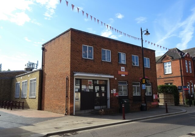
Abbey Mead benefits from its proximity to various amenities and facilities. There are several local shops, supermarkets, and convenience stores within walking distance, ensuring that residents have easy access to essential goods. Additionally, there are a number of schools in the vicinity, making it an attractive area for families with children.

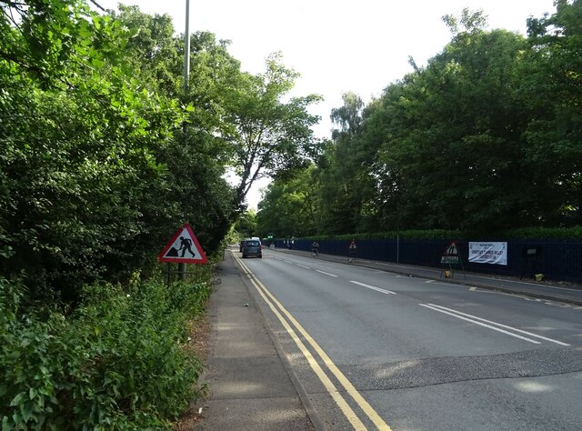
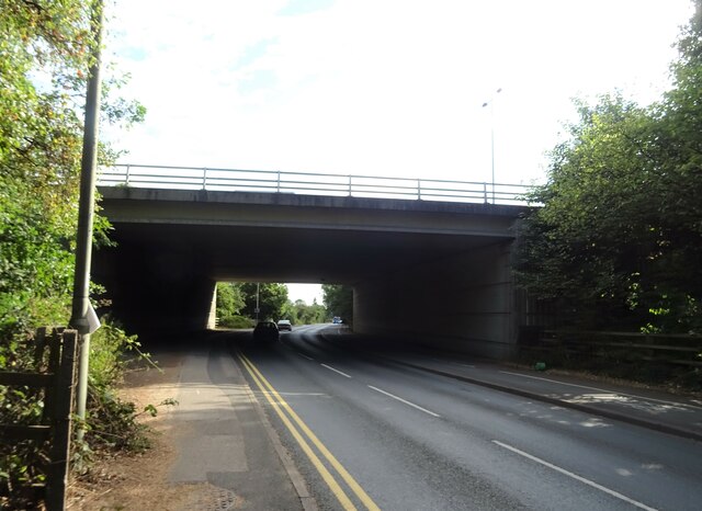
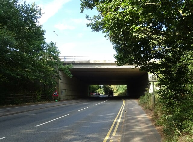
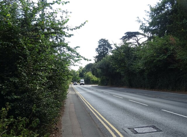
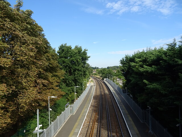
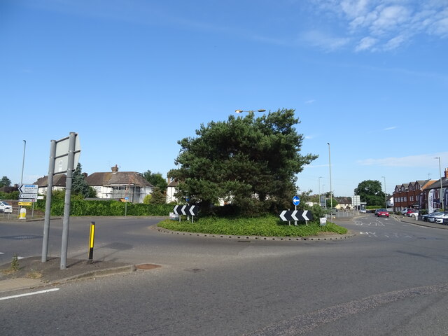
Transportation options in Abbey Mead are excellent, with good road links to nearby towns and cities. The A3 and M25 motorways are easily accessible, allowing for convenient commutes to London and other parts of Surrey. For those relying on public transportation, there are regular bus services that connect Abbey Mead to surrounding areas.

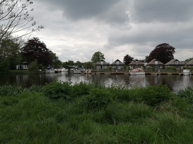
Nature enthusiasts will appreciate the nearby green spaces and parks, such as the tranquil Abbeyfields Park, which offers opportunities for leisurely walks and picnics. The River Mole also runs close to Abbey Mead, providing beautiful riverside scenery and recreational activities.

Overall, Abbey Mead presents an idyllic residential setting, combining a peaceful atmosphere with convenient access to amenities and transportation links.

If you have any feedback on the listing, please let us know in the comments section below.
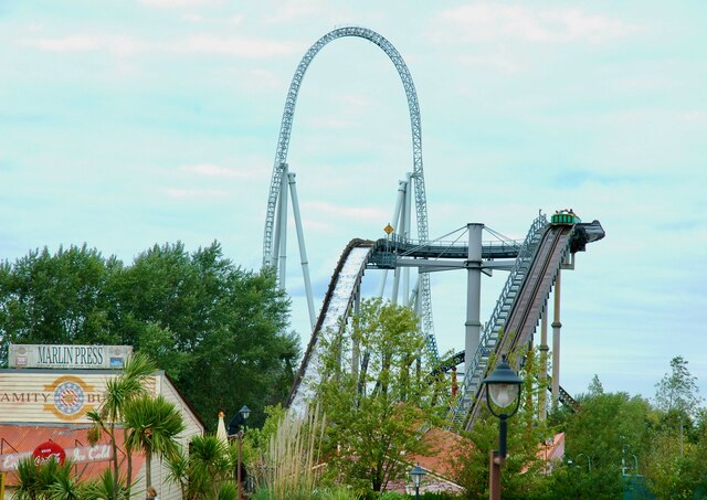
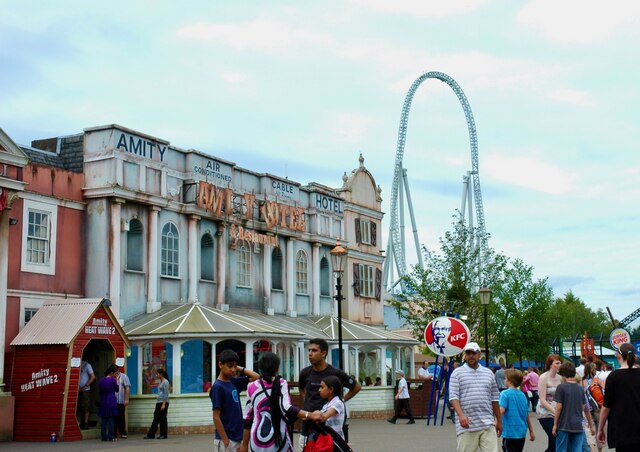
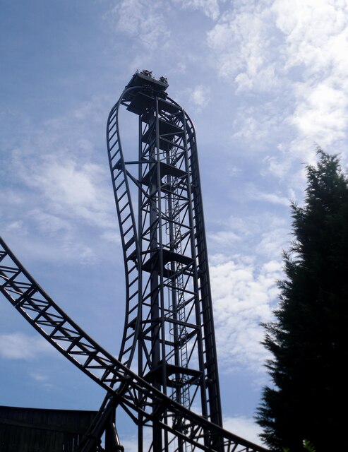
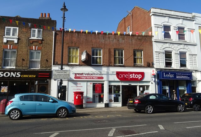
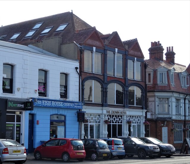
Abbey Mead Images

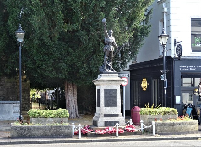
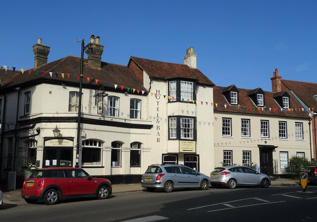
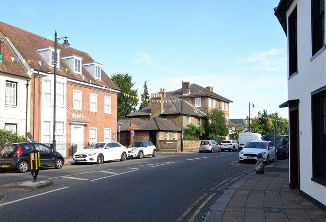
Images are sourced within 2km of 51.392518/-0.5066241 or Grid Reference TQ0467. Thanks to Geograph Open Source API. All images are credited.

Stealth and Tidal Wave, Thorpe Park The Thorpe Park Resort is operated and owned by Merlin Entertainments. It first opened as an outdoor activity park in 1979, but is now one of the major theme parks in the UK.
Stealth and Tidal Wave, Thorpe Park
The Thorpe Park Resort is operated and owned by Merlin Entertainments. It first opened as an outdoor activity park in 1979, but is now one of the major theme parks in the UK.
Stealth, Thorpe Park The Thorpe Park Resort is operated and owned by Merlin Entertainments. It first opened as an outdoor activity park in 1979, but is now one of the major theme parks in the UK.
Stealth, Thorpe Park
The Thorpe Park Resort is operated and owned by Merlin Entertainments. It first opened as an outdoor activity park in 1979, but is now one of the major theme parks in the UK.
SAW - The Ride, Thorpe Park The Thorpe Park Resort is operated and owned by Merlin Entertainments. It first opened as an outdoor activity park in 1979, but is now one of the major theme parks in the UK.
SAW - The Ride, Thorpe Park
The Thorpe Park Resort is operated and owned by Merlin Entertainments. It first opened as an outdoor activity park in 1979, but is now one of the major theme parks in the UK.
Entrance to Bates Wharf The entrance to Bates Wharf Marina, looking across the River Thames from a convenient bench
Entrance to Bates Wharf
The entrance to Bates Wharf Marina, looking across the River Thames from a convenient bench
Roadworks on Guildford Road (A320)
M25 Motorway bridge over Guildford Road (A320)
Pylon in field, Chertsey
Guildford Road (A320), Chertsey
Chertsey Railway Station Line towards Virginia Water from Bell Bridge.
Chertsey Railway Station
Line towards Virginia Water from Bell Bridge.
Roundabout on the A317 Chertsey
Royal Mail Chertsey Delivery Office  On Guildford Street, Chertsey.
Royal Mail Chertsey Delivery Office
On Guildford Street, Chertsey.
Chertsey War Memorial
The Olde Swan Hotel, Chertsey On Windsor Street.
See  <a href="https://www.geograph.org.uk/photo/7257293">TQ0467 : Sign for the Olde Swan Hotel, Chertsey </a> for sign.
The Olde Swan Hotel, Chertsey
On Windsor Street. See TQ0467 : Sign for the Olde Swan Hotel, Chertsey for sign.
Sign for the Olde Swan Hotel, Chertsey  See <a href="https://www.geograph.org.uk/photo/7257292">TQ0467 : The Olde Swan Hotel, Chertsey</a> for context.
Sign for the Olde Swan Hotel, Chertsey
Windsor Street (B375), Chertsey
Post Office and shop on Windsor Street (B375), Chertsey
The Crown Hotel, Chertsey On London Street.
See <a href="https://www.geograph.org.uk/photo/7257298">TQ0466 : Sign for the Crown Hotel, Chertsey</a> for sign.
The Crown Hotel, Chertsey
On London Street. See TQ0466 : Sign for the Crown Hotel, Chertsey for sign.
Show me another place!

Abbey Mead is located at Grid Ref: TQ0467 (Lat: 51.392518, Lng: -0.5066241)

Administrative County: Surrey

District: Runnymede

Police Authority: Surrey

What 3 Words

///metro.turned.newly. Near Chertsey, Surrey

Nearby Locations

Abbey Mead

Related Wikis

Chertsey Town F.C.

Chertsey Town Football Club is a semi-professional football club based in Chertsey, Surrey, England. The club currently competes in the Isthmian League...

Chertsey

Chertsey is a town in the Borough of Runnymede, Surrey, England, 18 miles (29 km) south-west of central London. It grew up round Chertsey Abbey, founded...

Old Town Hall, Chertsey

The Old Town Hall is a municipal building in London Road, Chertsey, Surrey, England. The structure, which was the main civic venue for the town, is a Grade...

Chertsey Abbey

Chertsey Abbey, dedicated to St Peter, was a Benedictine monastery located at Chertsey in the English county of Surrey.It was founded in 666 AD by Saint...

Nearby Amenities

Located within 500m of 51.392518,-0.5066241
Mini Roundabout
Direction: clockwise
Lat/Long: 51.3918672/-0.5028131
Crossing
Crossing Island: yes
Kerb: lowered
Lat/Long: 51.3944764/-0.5055174
Mini Roundabout
Direction: clockwise
Lat/Long: 51.3893679/-0.5074837
Crossing
Crossing Island: yes
Kerb: lowered
Source: SAS
Lat/Long: 51.3893429/-0.5073196
Crossing
Crossing: unmarked
Kerb: lowered
Source: SAS
Lat/Long: 51.3891625/-0.5078349
Bicycle: yes
Information: guidepost
Ncn Milepost: rowe
Sustrans Ref: MP469
Tourism: information
Lat/Long: 51.3910094/-0.5077142
Post Box
Ref: KT16 153
Lat/Long: 51.3903905/-0.5049836
Post Box
Post Box Type: pillar
Ref: KT16 871
Lat/Long: 51.3922319/-0.5040275
Bus Stop
Guildford Street
Bus: yes
Local Ref: D
Naptan AtcoCode: 40004401117D
Naptan Bearing: NE
Naptan CommonName: Guildford Street
Naptan Indicator: NE-bound
Naptan Landmark: Guildford Street
Naptan NaptanCode: suratdap
Naptan Street: Guildford Street
Naptan Verified: no
Public Transport: platform
Source: naptan_import
Lat/Long: 51.3889015/-0.5070889
Bus Stop
Heriot Road
Bus: yes
Naptan AtcoCode: 40004401119A
Naptan Bearing: NW
Naptan CommonName: Heriot Road
Naptan Indicator: NW-bound
Naptan Landmark: Heriot Road
Naptan NaptanCode: suratgwt
Naptan Street: Heriot Road
Naptan Verified: no
Public Transport: platform
Source: naptan_import
Lat/Long: 51.391474/-0.5029766
Bus Stop
Heriot Road
Bus: yes
Naptan AtcoCode: 40004401119B
Naptan Bearing: SE
Naptan CommonName: Heriot Road
Naptan Indicator: SE-bound
Naptan Landmark: Heriot Road
Naptan NaptanCode: suratjga
Naptan Street: Heriot Road
Naptan Verified: no
Public Transport: platform
Source: naptan_import
Lat/Long: 51.3908723/-0.5025814
Bus Stop
Windsor Street
Bus: yes
Naptan AtcoCode: 40004401123A
Naptan Bearing: NW
Naptan BusStopType: CUS
Naptan CommonName: Windsor Street
Naptan Indicator: Just Before
Naptan Landmark: Windsor Street
Naptan NaptanCode: surgpata
Naptan Street: London Street
Naptan Verified: no
Public Transport: platform
Source: naptan_import
Lat/Long: 51.3923175/-0.5042695
Bus Stop
Windsor Street
Bus: yes
Naptan AtcoCode: 40004401123B
Naptan Bearing: SE
Naptan CommonName: Windsor Street
Naptan Indicator: On
Naptan Landmark: Windsor Street
Naptan NaptanCode: suratjwd
Naptan Street: Windsor Street
Naptan Verified: no
Public Transport: platform
Source: naptan_import
Lat/Long: 51.3925275/-0.5044585
Bus Stop
St Anns Road
Naptan AtcoCode: 40004401124A
Naptan Bearing: W
Naptan CommonName: St Anns Road
Naptan Indicator: W-bound
Naptan Landmark: St Anns Road
Naptan NaptanCode: suratjwm
Naptan Street: St Anns Road
Naptan Verified: no
Public Transport: platform
Shelter: yes
Source: naptan_import
Lat/Long: 51.3955873/-0.5102592
Bus Stop
St Anns Road
Naptan AtcoCode: 40004401124B
Naptan Bearing: E
Naptan CommonName: St Anns Road
Naptan Indicator: E-bound
Naptan Landmark: St Anns Road
Naptan NaptanCode: suratjwp
Naptan Street: St Anns Road
Naptan Verified: no
Public Transport: platform
Source: naptan_import
Lat/Long: 51.3956288/-0.5095521
Bus Stop
Colonels Lane
Bus: yes
Naptan AtcoCode: 40004401201A
Naptan Bearing: NW
Naptan CommonName: Colonels Lane
Naptan Indicator: Just after
Naptan Landmark: Colonel's Lane
Naptan NaptanCode: suratpwa
Naptan Street: Windsor Street
Naptan Verified: no
Public Transport: platform
Shelter: yes
Source: naptan_import
Lat/Long: 51.3940101/-0.5054888
Bus Stop
Colonels Lane
Bus: yes
Naptan AtcoCode: 40004401201B
Naptan Bearing: SE
Naptan CommonName: Colonels Lane
Naptan Indicator: Just Before
Naptan Landmark: Colonel's Lane
Naptan NaptanCode: suratpwd
Naptan Street: Windsor Street
Naptan Verified: no
Public Transport: platform
Shelter: yes
Source: naptan_import
Lat/Long: 51.3938349/-0.5052228
Pharmacy
Healthcare: pharmacy
Lat/Long: 51.3911866/-0.5043906
Birdie Bikes
Addr City: Chertsey
Addr Housename: The Sainsbury's Centre
Addr Housenumber: 8b
Addr Postcode: KT16 9AG
Addr Street: Guildford Street
Shop: bicycle
Url: http://www.birdiebikes.co.uk/
Lat/Long: 51.3911346/-0.5039546
Barrier: cycle_barrier
Lat/Long: 51.3903661/-0.502494
Atm
Operator: Sainsbury's
Lat/Long: 51.3911475/-0.503405
Atm
Brand: Barclays
Brand Wikidata: Q245343
Operator: Barclays
Operator Wikidata: Q245343
Lat/Long: 51.3917988/-0.504103
Barrier: bollard
Lat/Long: 51.3900845/-0.5022643
Barrier: lift_gate
Lat/Long: 51.3898123/-0.5080283
Barrier: cycle_barrier
Lat/Long: 51.3903928/-0.5092328
Crossing
Crossing Island: yes
Kerb: lowered
Lat/Long: 51.3890669/-0.5068619
Mini Roundabout
Direction: clockwise
Source: bing
Lat/Long: 51.3891702/-0.5067663
Crossing
Crossing: unmarked
Kerb: lowered
Lat/Long: 51.3893554/-0.5064221
Crossing
Crossing: unmarked
Crossing Island: yes
Kerb: lowered
Tactile Paving: yes
Lat/Long: 51.3895238/-0.5060853
Mini Roundabout
Direction: clockwise
Source: bing
Lat/Long: 51.3895558/-0.5059017
Crossing
Bicycle: dismount
Crossing Island: yes
Kerb: lowered
Sloped Curb: yes
Source: SAS
Lat/Long: 51.3958501/-0.5111995
Barrier: bollard
Lat/Long: 51.3933857/-0.5115612
Chertsey
Place: town
Source: OS_OpenData_StreetView
Wikidata: Q1070428
Wikipedia: en:Chertsey
Lat/Long: 51.392296/-0.5038294
Crossing
Crossing Island: yes
Kerb: lowered
Lat/Long: 51.3945278/-0.5054999
Crossing
Crossing: unmarked
Kerb: lowered
Lat/Long: 51.3947678/-0.505065
Give Way
Lat/Long: 51.3897799/-0.5056783
Crossing
Crossing: uncontrolled
Kerb: lowered
Source: Surrey Air Survey
Traffic Calming: table
Lat/Long: 51.3920843/-0.5036674
Give Way
Lat/Long: 51.3923383/-0.5050143
Crossing
Crossing Island: yes
Kerb: lowered
Source: SAS
Lat/Long: 51.3892884/-0.507627
Crossing
Crossing Island: yes
Kerb: lowered
Source: SAS
Lat/Long: 51.3894669/-0.5076371
Barrier: height_restrictor
Maxheight: 6'8"
Lat/Long: 51.3900711/-0.5084414
Barrier: height_restrictor
Lat/Long: 51.3891658/-0.5048037
Crossing
Crossing: uncontrolled
Crossing Island: yes
Kerb: lowered
Tactile Paving: yes
Lat/Long: 51.3892483/-0.5048567
Barrier: lift_gate
Lat/Long: 51.3907546/-0.5024534
Crossing
Lat/Long: 51.3903555/-0.5032945
Crossing
Crossing: unmarked
Kerb: lowered
Lat/Long: 51.3905548/-0.5069869
Pub
Coach & Horses
Addr City: Chertsey
Addr Country: GB
Addr Housenumber: 14
Addr Postcode: KT16 9DG
Addr Street: St Ann's Road
Brand: Fuller's
Brand Wikidata: Q5253950
Contact Facebook: https://www.facebook.com/coachandhorseshertsey
Fhrs Id: 315261
Website: https://www.thecoachandhorseschertsey.co.uk/
Lat/Long: 51.3945675/-0.5068774
Pub
Thyme at the Tavern
Outdoor Seating: yes
Lat/Long: 51.3917572/-0.5026565
Give Way
Direction: backward
Lat/Long: 51.3916447/-0.5029807
Source: Surrey Air Survey
Lat/Long: 51.391323/-0.4998792
Barrier: bollard
Lat/Long: 51.3885591/-0.505544
Cafe
Mangiasti
Lat/Long: 51.3924045/-0.5044604
Historic: memorial
Memorial: war_memorial
Lat/Long: 51.3921951/-0.5035266
Heaters Bakery
Shop: bakery
Lat/Long: 51.3924996/-0.5041043
Post Box
Brand: Royal Mail
Brand Wikidata: Q638098
Brand Wikipedia: en:Royal Mail
Operator: Royal Mail
Operator Wikidata: Q638098
Post Box Type: pillar
Ref: KT16 66
Lat/Long: 51.3935246/-0.5076525
Chertsey Nails
Shop: beauty
Lat/Long: 51.392001/-0.5039059
Federico
Shop: hairdresser
Lat/Long: 51.3919592/-0.5039711
T H Collison
Shop: optician
Lat/Long: 51.3920297/-0.5038676
Shop: locksmith
Lat/Long: 51.3913841/-0.5042508
Crossing
Crossing: traffic_signals
Crossing Ref: pelican
Kerb: lowered
Lat/Long: 51.3880748/-0.5075933
Crossing
Crossing: unmarked
Kerb: lowered
Lat/Long: 51.3882093/-0.5076944
Crossing
Crossing Island: yes
Kerb: lowered
Lat/Long: 51.3892356/-0.5069394
Crossing
Bicycle: yes
Crossing: unmarked
Kerb: lowered
Lat/Long: 51.3889774/-0.5057017
Traffic Signals
Traffic Signals Direction: forward
Lat/Long: 51.3880543/-0.50752
Crossing
Crossing Island: yes
Kerb: lowered
Sloped Curb: yes
Source: SAS
Lat/Long: 51.3893126/-0.5112925
Crossing
Crossing Island: yes
Kerb: lowered
Sloped Curb: yes
Source: SAS
Lat/Long: 51.3893825/-0.5113173
Crossing
Crossing Island: yes
Kerb: lowered
Sloped Curb: yes
Source: SAS
Lat/Long: 51.3900164/-0.512499
Crossing
Crossing: unmarked
Kerb: lowered
Sloped Curb: yes
Source: SAS
Lat/Long: 51.3890003/-0.5099702
Crossing
Crossing: unmarked
Kerb: lowered
Source: SAS
Lat/Long: 51.3893226/-0.5109789
Crossing
Crossing Island: yes
Kerb: lowered
Sloped Curb: yes
Source: SAS
Lat/Long: 51.3887837/-0.5100084
Crossing
Crossing Island: yes
Kerb: lowered
Sloped Curb: yes
Source: SAS
Lat/Long: 51.3888445/-0.509949
Crossing
Crossing: unmarked
Kerb: lowered
Sloped Curb: yes
Source: SAS
Lat/Long: 51.3890895/-0.510082
Traffic Signals
Traffic Signals Direction: forward
Lat/Long: 51.3881824/-0.5079174
Crossing
Crossing: traffic_signals
Crossing Ref: pelican
Kerb: lowered
Source: SAS
Lat/Long: 51.3882108/-0.5085885
Crossing
Crossing: traffic_signals
Crossing Ref: pelican
Kerb: lowered
Source: SAS
Lat/Long: 51.3882546/-0.5083994
Crossing
Crossing: unmarked
Kerb: lowered
Sloped Curb: yes
Source: SAS
Lat/Long: 51.3892399/-0.5092104
Crossing
Crossing: traffic_signals
Crossing Ref: pelican
Kerb: lowered
Source: SAS
Lat/Long: 51.3883947/-0.5090275
Traffic Signals
Traffic Signals Direction: forward
Lat/Long: 51.3882028/-0.50854
Traffic Signals
Traffic Signals Direction: forward
Lat/Long: 51.3884217/-0.5091035
Crossing
Crossing: unmarked
Kerb: lowered
Sloped Curb: yes
Source: SAS
Lat/Long: 51.389376/-0.5094675
Traffic Signals
Traffic Signals Direction: forward
Lat/Long: 51.3883726/-0.5091492
Crossing
Crossing Island: yes
Kerb: lowered
Source: SAS
Lat/Long: 51.3884306/-0.5086665
Crossing
Crossing: traffic_signals
Crossing Ref: pelican
Kerb: lowered
Source: SAS
Lat/Long: 51.388387/-0.509188
Traffic Signals
Traffic Signals Direction: backward
Lat/Long: 51.3884597/-0.5086449
Crossing
Crossing: unmarked
Kerb: lowered
Source: SAS
Lat/Long: 51.3893833/-0.5071901
Cafe
Chertsey Cafe
Lat/Long: 51.3912663/-0.5041165
Thomas Cook
Brand: Thomas Cook
Brand Wikidata: Q2141800
Brand Wikipedia: en:Thomas Cook Group
Shop: travel_agency
Lat/Long: 51.3911277/-0.5039118
Bicycle Parking
Lat/Long: 51.3910623/-0.5034309
Bicycle Parking
Lat/Long: 51.391353/-0.5028957
Telephone
Booth: KX100
Covered: booth
Operator: BT
Operator Wikidata: Q593786
Lat/Long: 51.3918222/-0.5029895
Bicycle Parking
Lat/Long: 51.3919891/-0.503714
Cafe
Costa
Addr Housename: The Sainsbury Centre
Addr Postcode: KT16 9AG
Addr Street: Guildford Street
Addr Unit: 12
Brand: Costa
Brand Wikidata: Q608845
Brand Wikipedia: en:Costa Coffee
Cuisine: coffee_shop
Fhrs Id: 664097
Internet Access: wlan
Opening Hours: Mo-Fr 06:00-18:00; Sa,Su,PH 07:00-17:00
Takeaway: yes
Lat/Long: 51.390844/-0.5035817
Martin's
Brand: Martin's
Brand Wikidata: Q116779207
Brand Wikipedia: en:McColl's
Opening Hours: Mo,Th 07:00-19:00; Tu,We,Fr 07:00-19:30; Sa 07:30-19:30; Su 10:00-16:00
Shop: newsagent
Wheelchair: yes
Lat/Long: 51.3910281/-0.5036729
Y Pay More
Shop: yes
Lat/Long: 51.3913018/-0.5045247
Male Designs
Shop: hairdresser
Lat/Long: 51.3913704/-0.5044885
Sams News
Shop: yes
Lat/Long: 51.3912608/-0.5045824
Coral
Brand: Coral
Brand Wikidata: Q54621344
Brand Wikipedia: en:Coral (bookmaker)
Shop: bookmaker
Lat/Long: 51.3910407/-0.5047326
William Hill
Brand: William Hill
Brand Wikidata: Q4053147
Brand Wikipedia: en:William Hill (bookmaker)
Shop: bookmaker
Lat/Long: 51.3907487/-0.5049492
Blue Mushroom
Addr City: Chertsey
Addr Housenumber: 85
Addr Postcode: KT16 9AS
Addr Street: Guildford Street
Email: print@bluemushroom.net
Phone: +44 1932 570024
Shop: copyshop
Website: https://bluemushroom.net
Lat/Long: 51.3906951/-0.5049827
Pawnbrokers
Shop: pawnbroker
Lat/Long: 51.3906474/-0.5050149
Nails
Shop: beauty
Lat/Long: 51.390603/-0.5050498
Dentist
Dental Centre
Healthcare: dentist
Lat/Long: 51.3903444/-0.5052429
Shop: hairdresser
Lat/Long: 51.3911269/-0.5044261
Crossing
Bicycle: yes
Crossing: unmarked
Kerb: lowered
Lat/Long: 51.3894247/-0.5062914
Bus Stop
Guildford Street
Bus: yes
Local Ref: A
Public Transport: platform
Lat/Long: 51.3892039/-0.5065711
Crossing
Crossing Island: yes
Kerb: lowered
Lat/Long: 51.3945962/-0.5051729
Crossing
Crossing Island: yes
Kerb: lowered
Lat/Long: 51.3946104/-0.5052878
Crossing
Crossing Island: yes
Kerb: lowered
Source: Surrey Air Survey
Lat/Long: 51.3921974/-0.5037468
Crossing
Crossing Island: yes
Kerb: lowered
Source: Surrey Air Survey
Lat/Long: 51.3916975/-0.5028665
Crossing
Crossing Island: yes
Kerb: lowered
Source: Surrey Air Survey
Lat/Long: 51.3918245/-0.5025447
Crossing
Crossing Island: yes
Kerb: lowered
Source: Surrey Air Survey
Lat/Long: 51.3917084/-0.5029385
Addr Housenumber: 41
Lat/Long: 51.3915213/-0.5013809
Addr Housenumber: 17
Lat/Long: 51.391776/-0.5021673
Addr Housenumber: 11
Lat/Long: 51.3919196/-0.5026002
Addr Housenumber: 13
Lat/Long: 51.3918187/-0.5022612
Entrance: yes
Lat/Long: 51.3909273/-0.5047802
Entrance: yes
Lat/Long: 51.3910326/-0.5045248
Entrance: main
Lat/Long: 51.3920631/-0.5029373
Entrance: exit
Lat/Long: 51.3906541/-0.5057293
Entrance: yes
Lat/Long: 51.3906984/-0.5058251
Barrier: bollard
Lat/Long: 51.3905607/-0.5054047
Barrier: bollard
Lat/Long: 51.3902379/-0.5053167
Give Way
Lat/Long: 51.3901756/-0.5036994
Give Way
Lat/Long: 51.3902658/-0.5037671
Princess Alice Trust
Addr Street: Guildford Street
Opening Hours: Mo-Sa 09:30-17:00; Su 10:00-16:00
Shop: variety_store
Website: https://www.pah.org.uk/
Lat/Long: 51.3909162/-0.5045815
Entrance: main
Lat/Long: 51.3911854/-0.5036063
Bicycle Parking
Lat/Long: 51.3897315/-0.505642
Crossing
Crossing: unmarked
Lat/Long: 51.3890516/-0.5067844
Barrier: height_restrictor
Maxheight: 2.4
Lat/Long: 51.3945849/-0.5130174
Barrier: kerb
Lat/Long: 51.3923965/-0.5117891
Entrance: yes
Lat/Long: 51.3897976/-0.5058752
Barrier: cycle_barrier
Lat/Long: 51.3938123/-0.5100318
Barrier: cycle_barrier
Lat/Long: 51.3905385/-0.5070778
Bench
Lat/Long: 51.3937442/-0.5132461
Bench
Lat/Long: 51.3913517/-0.5097277
Leisure: picnic_table
Lat/Long: 51.3911672/-0.5093146
Toilets
Lat/Long: 51.3907128/-0.5084348
Bench
Lat/Long: 51.390873/-0.5078702
Bench
Lat/Long: 51.3908885/-0.5079125
Bench
Backrest: yes
Material: wood
Lat/Long: 51.3890202/-0.5062656
Bench
Backrest: yes
Material: wood
Lat/Long: 51.3889273/-0.5060899
Entrance: yes
Lat/Long: 51.3887803/-0.5059814
Entrance: main
Lat/Long: 51.388929/-0.5062682
Bench
Lat/Long: 51.3883389/-0.5050975
Bench
Lat/Long: 51.3883774/-0.5050868
Bench
Lat/Long: 51.3884017/-0.5051646
Cafe
The Bourne Cafe
Check Date: 2021-05-07
Contact Facebook: https://www.facebook.com/people/The-Bourne-Cafe/100063957585750/
Lat/Long: 51.3907496/-0.5083215
Information: guidepost
Source: GPS
Tourism: information
Lat/Long: 51.394473/-0.5015845
Bench
Backrest: yes
Material: wood
Source: GPS
Lat/Long: 51.3942513/-0.5017716
Information: board
Source: GPS
Tourism: information
Lat/Long: 51.3941601/-0.5019633
Bench
Backrest: yes
Material: wood
Source: GPS
Lat/Long: 51.3940956/-0.5020157
Bench
Backrest: yes
Material: wood
Source: GPS
Lat/Long: 51.3940571/-0.5019781
Bench
Backrest: yes
Material: wood
Source: GPS
Lat/Long: 51.3940362/-0.5020653
Bench
Backrest: yes
Material: wood
Source: GPS
Lat/Long: 51.3936078/-0.5021524
Toilets
Access: customers
Lat/Long: 51.391268/-0.5030335
Entrance: main
Lat/Long: 51.3908869/-0.5035597
Entrance: main
Lat/Long: 51.3906309/-0.5083818
Bench
Backrest: no
Lat/Long: 51.3910956/-0.5082008
Bench
Backrest: no
Lat/Long: 51.3911525/-0.5080426
Bench
Backrest: no
Lat/Long: 51.391099/-0.5080292
Bench
Backrest: no
Lat/Long: 51.3910203/-0.5080909
Traffic Signals
Traffic Signals Direction: forward
Lat/Long: 51.3882598/-0.5084303
Cycleway: asl
Direction: forward
Lat/Long: 51.3884061/-0.5090584
Cycleway: asl
Direction: forward
Lat/Long: 51.3880677/-0.5075679
Barrier: lift_gate
Lat/Long: 51.3901805/-0.5068088
Chertsey Abbey fish ponds
Archaeological Site: church
Historic: archaeological_site
Lat/Long: 51.3950324/-0.5033577
Give Way
Direction: backward
Lat/Long: 51.3893697/-0.5072046
Post Office
Chertsey Post Office
Addr Postcode: KT16 8AY
Brand: Post Office
Brand Wikidata: Q1783168
Check Date: 2017-05-29
Operator: One Stop
Operator Wikidata: Q65954217
Ref Pol Id: 18329
Website: https://www.postoffice.co.uk/branch-finder/0760234/chertsey
Wheelchair: yes
Lat/Long: 51.3921505/-0.5040588
Barrier: cycle_barrier
Bicycle: yes
Foot: yes
Lat/Long: 51.3945911/-0.5012621
Waste Basket
Waste: dog_excrement
Lat/Long: 51.394981/-0.5010491
The data included in this document is from www.openstreetmap.org. The data is made available under ODbL.

Have you been to Abbey Mead?

Leave your review of Abbey Mead below (or comments, questions and feedback).