Barskiven Hill
Hill, Mountain in Renfrewshire
Scotland
Barskiven Hill
Barskiven Hill is a prominent hill located in Renfrewshire, Scotland. Situated just south of the village of Lochwinnoch, it is a notable geographical feature in the region. Rising to an elevation of approximately 251 meters (823 feet), Barskiven Hill offers breathtaking panoramic views of the surrounding countryside.
The hill is characterized by its gently sloping terrain, covered with a mixture of grass, heather, and scattered trees. Its summit is marked by a trig point, which serves as a navigational landmark for hikers and walkers exploring the area. The well-maintained footpaths and trails make it accessible for visitors of all ages and fitness levels.
Barskiven Hill is not only renowned for its natural beauty but also holds historical significance. It is believed to have been used as a burial ground during the Bronze Age, with several cairns discovered in the vicinity. These ancient burial mounds add an element of mystery to the hill, providing a connection to the area's rich past.
The hill is a popular destination for outdoor enthusiasts, offering opportunities for hiking, walking, and birdwatching. The surrounding area is home to a diverse range of wildlife, including various bird species such as kestrels, buzzards, and skylarks. With its tranquil setting and stunning vistas, Barskiven Hill provides a serene escape from the bustling city life, attracting both locals and tourists alike.
In conclusion, Barskiven Hill in Renfrewshire is a picturesque and historically significant hill that offers stunning views, diverse wildlife, and a peaceful escape for nature lovers and outdoor enthusiasts.
If you have any feedback on the listing, please let us know in the comments section below.
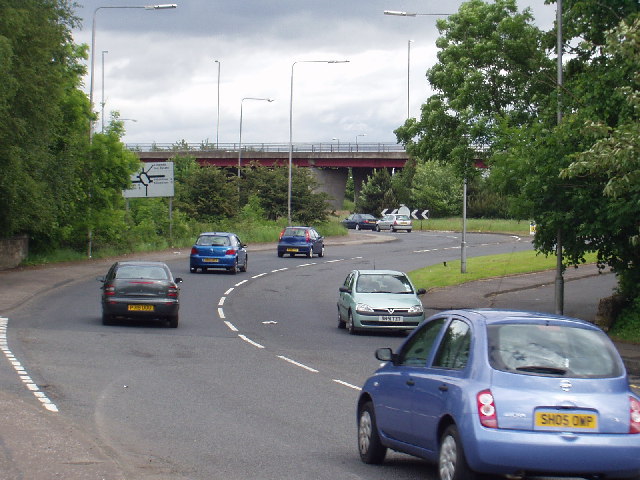
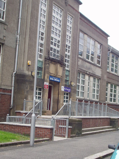
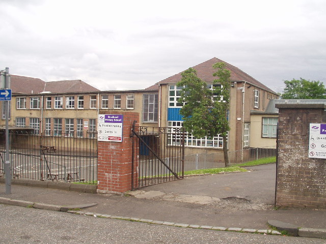
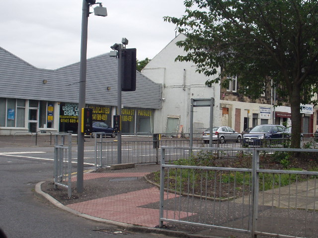
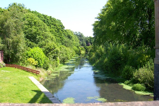
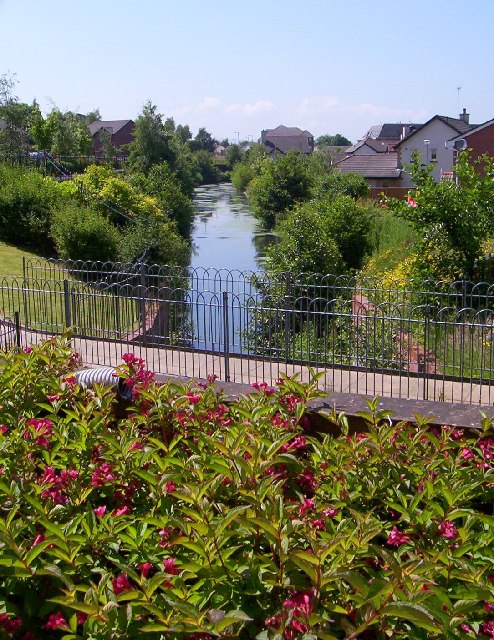
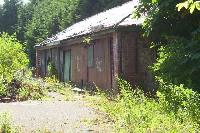
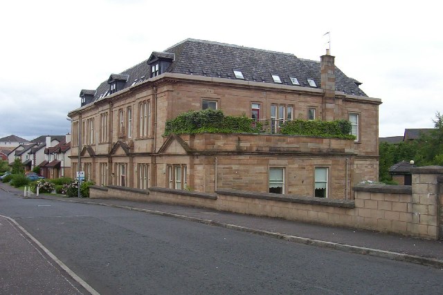
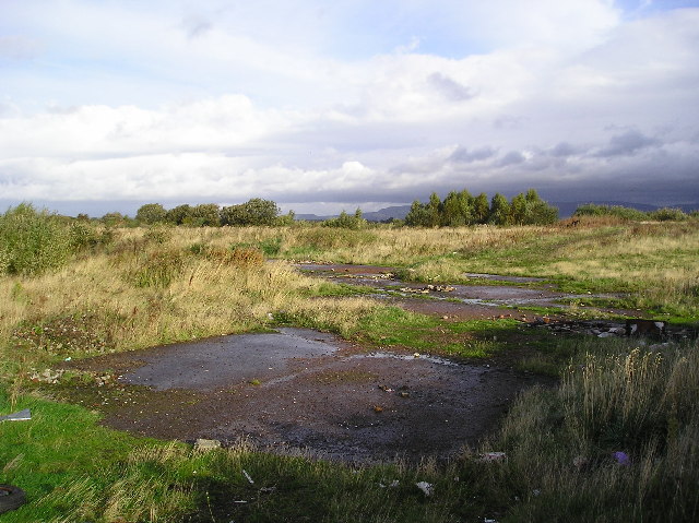
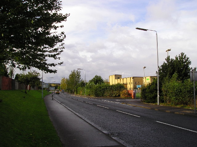
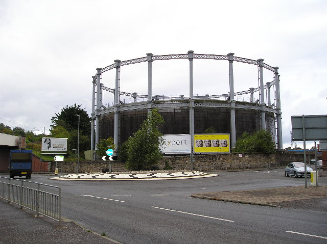
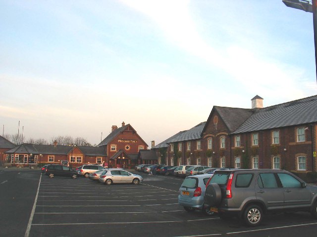
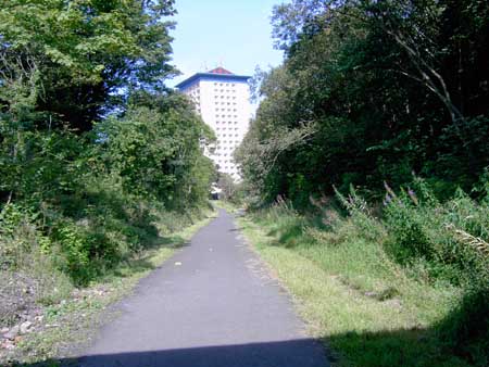
Barskiven Hill Images
Images are sourced within 2km of 55.841054/-4.4688876 or Grid Reference NS4563. Thanks to Geograph Open Source API. All images are credited.

Barskiven Hill is located at Grid Ref: NS4563 (Lat: 55.841054, Lng: -4.4688876)
Unitary Authority: Renfrewshire
Police Authority: Renfrewshire and Inverclyde
What 3 Words
///entertainer.energetic.caked. Near Elderslie, Renfrewshire
Nearby Locations
Related Wikis

Ferguslie railway station
Ferguslie was a railway station to the west of Paisley, Renfrewshire, Scotland. It was constructed as a planned extension of railway passenger services...
Elderslie railway station
Elderslie railway station was a railway station serving the west of Elderslie, Scotland, originally as part of the Glasgow, Paisley, Kilmarnock and Ayr...
Ferguslie Park
Ferguslie Park is a residential suburb at the north-west extremity of Paisley in Renfrewshire, Scotland. It is bordered by the town of Linwood to the west...
Elderslie, Scotland
Elderslie (Scottish Gaelic: Achadh na Feàrna) is a village in the council area and historic county of Renfrewshire in west central Scotland. It chiefly...

Inkerman, Renfrewshire
Inkerman was a small hamlet set up in 1858 in the Abbey Parish of Paisley to house ironstone miners. Later employment came from ancillary operations, including...
Paisley West railway station
Paisley West railway station was a railway station in Paisley, Renfrewshire, Scotland. The station was originally part of the Paisley Canal Line. ��2...

St Mirren Park
St Mirren Park, also known as The SMISA Stadium for sponsorship reasons, is a football stadium in Paisley, Scotland. It is the home of St Mirren. The stadium...
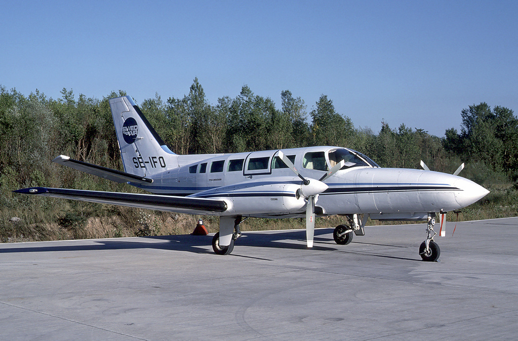
Edinburgh Air Charter Flight 3W
Edinburgh Air Charter Flight 3W, call sign "Saltire 3 Whisky", was a charter flight from Glasgow to Aberdeen. A Cessna 404 Titan, G-ILGW, was used for...
Related Videos

Knockhill Circular in Largs 💙🏴💙🥰
Beautiful, peaceful wee hike with stunning views on the west coast of Scotland #shorts #scotland #hiking ...
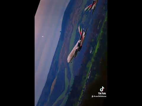
Flying Emirates from Glasgow to Dubai. #drone #airline #aerialphotography #travel #uav360
Whilst filming in Seamill, I stopped to take some more aerial shots of the majestic Isle of Arran from West Kilbride. A great day filled ...

Waterfall Wander at Gleniffer Braes | Paisley
When you can't travel far to scratch the hiking itch we looked a bit closer to home for somewhere we could stretch the legs but still ...
Nearby Amenities
Located within 500m of 55.841054,-4.4688876Have you been to Barskiven Hill?
Leave your review of Barskiven Hill below (or comments, questions and feedback).