Roundhill Plantation
Wood, Forest in Renfrewshire
Scotland
Roundhill Plantation
Roundhill Plantation is a sprawling woodland located in the county of Renfrewshire, Scotland. Covering an area of approximately 200 acres, it is a haven of natural beauty and tranquility. The plantation is situated in the heart of Renfrewshire, just a short distance from the town of Paisley.
The woodland is primarily composed of native trees, including oak, birch, and beech, creating a diverse and vibrant ecosystem that supports a wide array of flora and fauna. The dense canopy of the trees provides a perfect habitat for various bird species, such as woodpeckers, owls, and finches, making it a popular spot for birdwatchers.
Roundhill Plantation boasts numerous walking trails, allowing visitors to explore its enchanting surroundings. These paths wind through the woodland, offering breathtaking views of the lush greenery and the peaceful sounds of nature. The plantation also features picnic areas, making it an ideal destination for families and outdoor enthusiasts.
In addition to its natural splendor, Roundhill Plantation holds historical significance. It is believed to have been used as a hunting ground by the Scottish nobility in the past, and remnants of this heritage can still be seen today.
Overall, Roundhill Plantation is a captivating woodland that offers a serene escape from the hustle and bustle of everyday life. Whether it's for a leisurely stroll, birdwatching, or a family picnic, this idyllic forest in Renfrewshire is a must-visit destination for nature lovers.
If you have any feedback on the listing, please let us know in the comments section below.
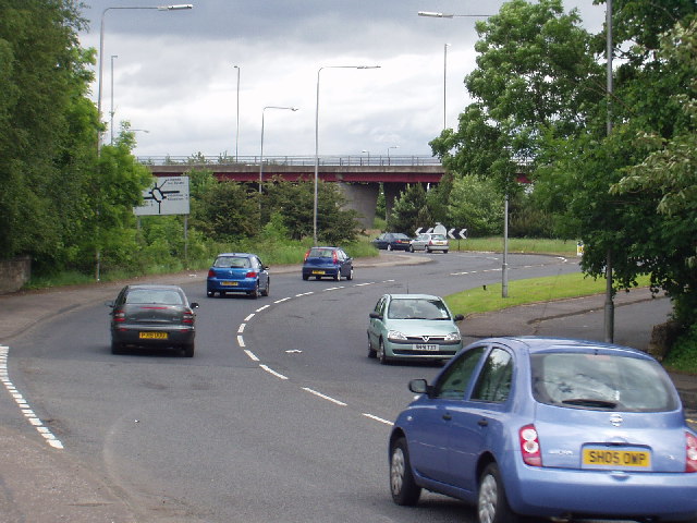
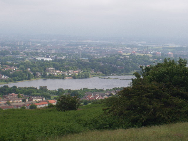
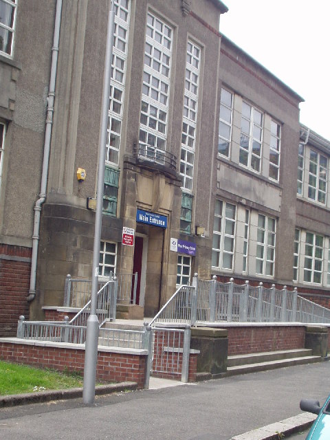
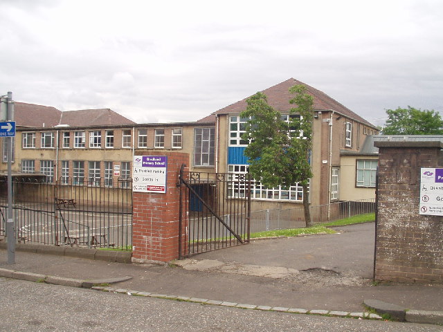
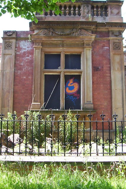
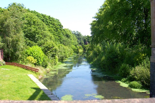
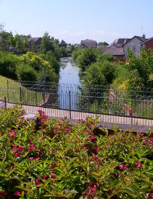
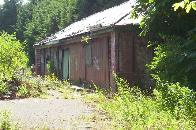
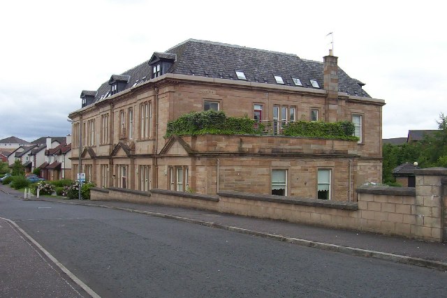
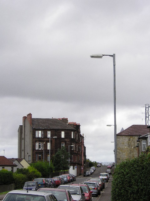
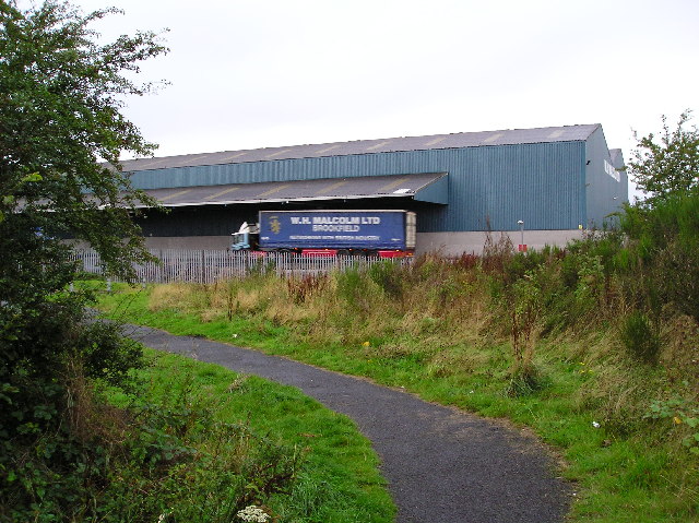
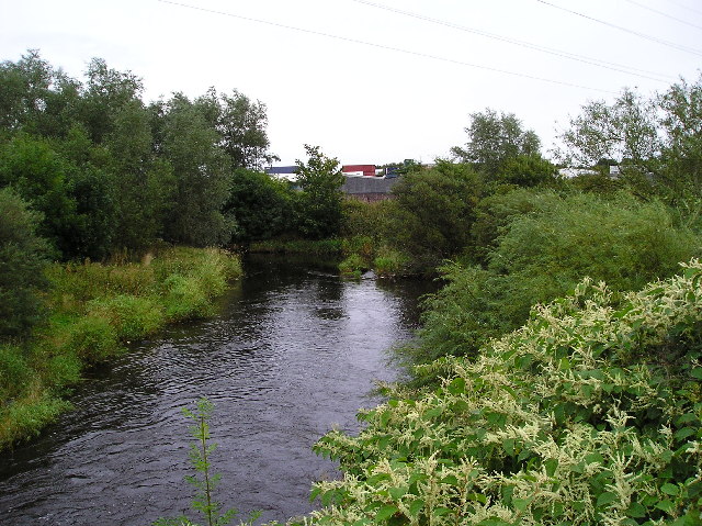
Roundhill Plantation Images
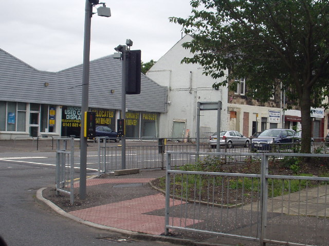
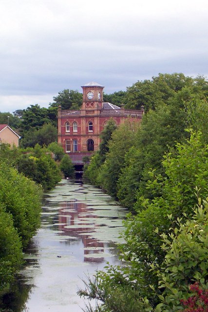
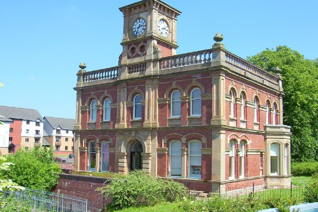
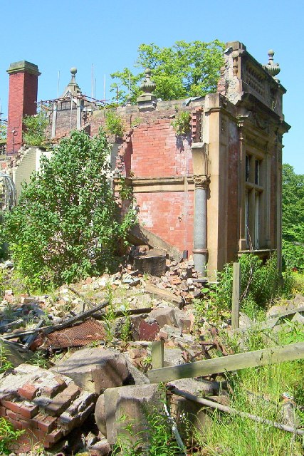
Images are sourced within 2km of 55.83558/-4.4747373 or Grid Reference NS4563. Thanks to Geograph Open Source API. All images are credited.


Roundhill Plantation is located at Grid Ref: NS4563 (Lat: 55.83558, Lng: -4.4747373)
Unitary Authority: Renfrewshire
Police Authority: Renfrewshire and Inverclyde
What 3 Words
///yours.boost.wishes. Near Elderslie, Renfrewshire
Nearby Locations
Related Wikis
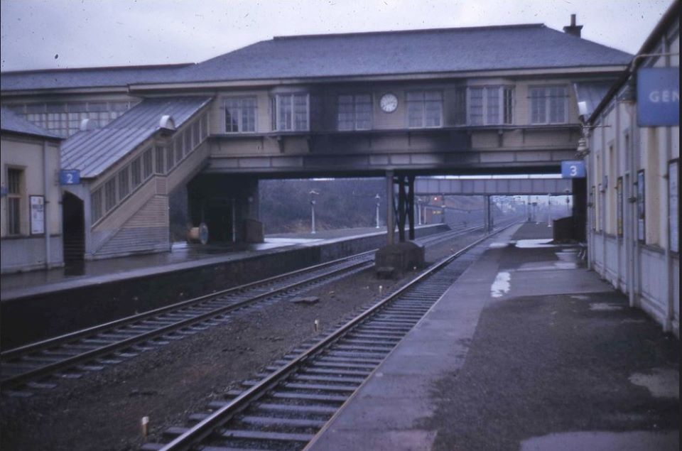
Elderslie railway station
Elderslie railway station was a railway station serving the west of Elderslie, Scotland, originally as part of the Glasgow, Paisley, Kilmarnock and Ayr...

Ferguslie railway station
Ferguslie was a railway station to the west of Paisley, Renfrewshire, Scotland. It was constructed as a planned extension of railway passenger services...
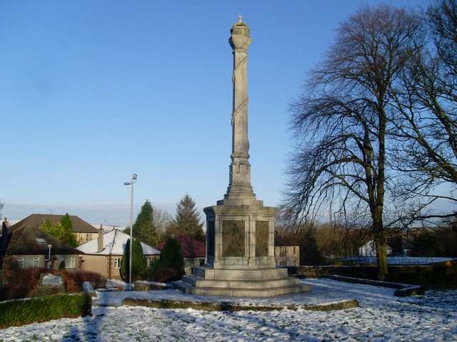
Elderslie, Scotland
Elderslie (Scottish Gaelic: Achadh na Feàrna) is a village in the council area and historic county of Renfrewshire in west central Scotland. It chiefly...

Johnstone Burgh F.C.
Johnstone Burgh Football Club is a Scottish football club based in Johnstone, Renfrewshire, and play in West of Scotland League First Division. == Current... ==

Renfrew (district)
Renfrew District (Scottish Gaelic: Sgìre Rinn Friù) was, between 1975 and 1996, one of nineteen local government districts in the Strathclyde region of...

Renfrewshire (historic)
Renfrewshire or the County of Renfrew is a historic county, registration county and lieutenancy area in the west central Lowlands of Scotland. The lieutenancy...
Gleniffer High School
Gleniffer High School is a Scottish state state school school located in Paisley for boys and girls aged 11 to 18. Since 1988, Gleniffer has been located...
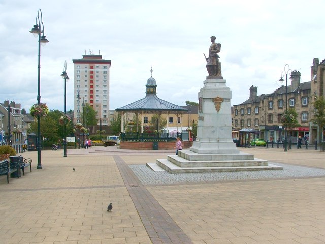
Johnstone
Johnstone (Scots: Johnstoun, Scottish Gaelic: Baile Iain) is a town in the administrative area of Renfrewshire and larger historic county of the same name...
Related Videos

Waterfall Wander at Gleniffer Braes | Paisley
When you can't travel far to scratch the hiking itch we looked a bit closer to home for somewhere we could stretch the legs but still ...

Hiking Gleniffer Braes and I Eventually Find a Beautiful Waterfall
I have been told many times that a good walk/hike, pretty close to me is Gleniffer Braes, which is situated between Paisley and ...

Otis & Sunny trek around the Gleniffer Brae Country Park taking in the views over Paisley & Glasgow
Otis & Sunny enjoy a mornings trek around the Gleniffer Brae Country Park taking in the views of Paisley, Glasgow Airport and ...
Nearby Amenities
Located within 500m of 55.83558,-4.4747373Have you been to Roundhill Plantation?
Leave your review of Roundhill Plantation below (or comments, questions and feedback).