Millarston

Settlement in Renfrewshire

Scotland

Millarston

Linwood: Junction between A761 and A737
Linwood: Junction between A761 and A737 Credit: G McK

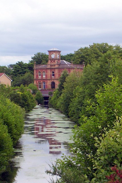
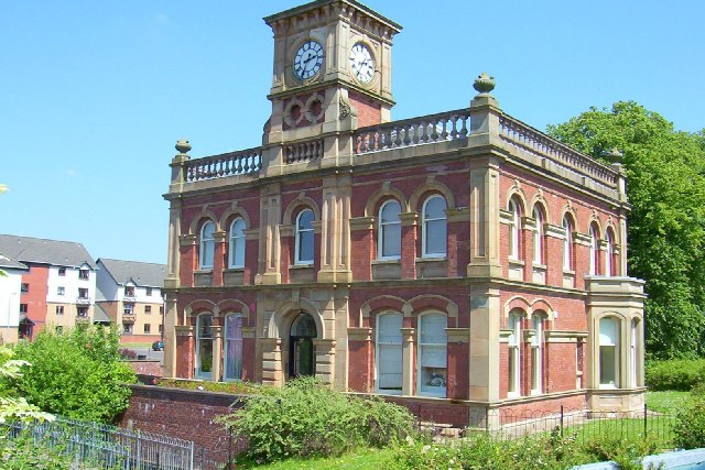
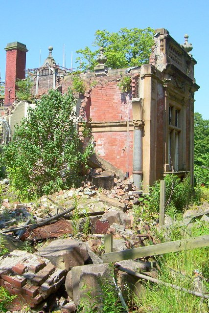
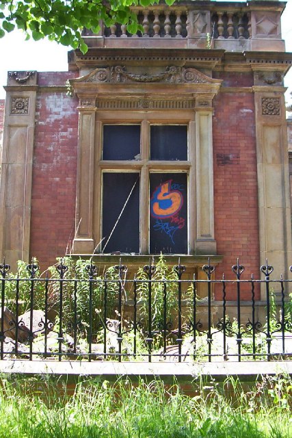
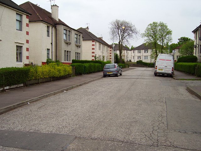
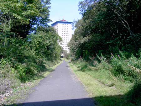
Millarston is a small residential area located in Renfrewshire, Scotland. Situated just south of the town of Paisley, it is part of the wider Glasgow urban area. The community primarily consists of residential properties, offering a peaceful and quiet environment.

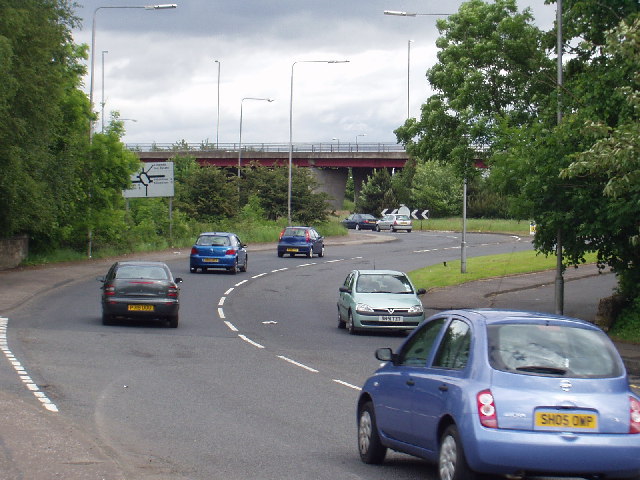
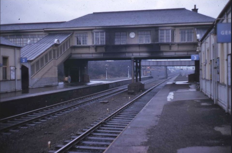
The area is well-connected, with excellent transport links to the nearby towns and Glasgow city center. Millarston benefits from its proximity to the M8 motorway, which provides easy access to various destinations across the country. Additionally, the nearby Paisley Gilmour Street railway station offers regular train services to Glasgow and surrounding areas.

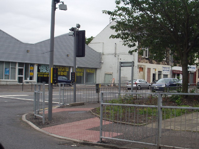
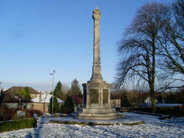
Residents of Millarston enjoy a range of amenities and facilities nearby. The town of Paisley, just a short distance away, offers a variety of shops, supermarkets, cafes, and restaurants. The area also boasts several green spaces, including the nearby Barshaw Park, which provides ample opportunities for outdoor activities and leisurely walks.

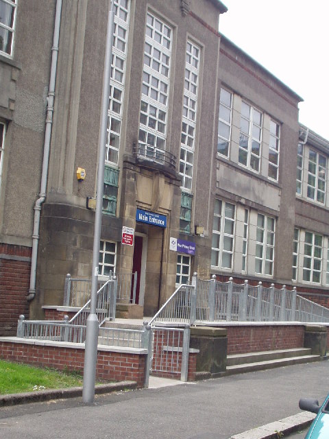
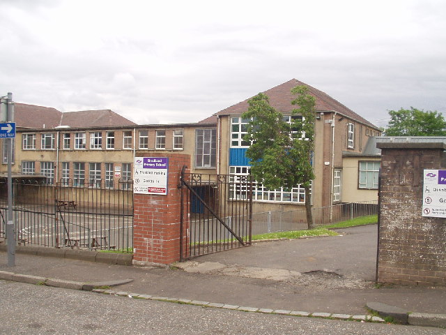
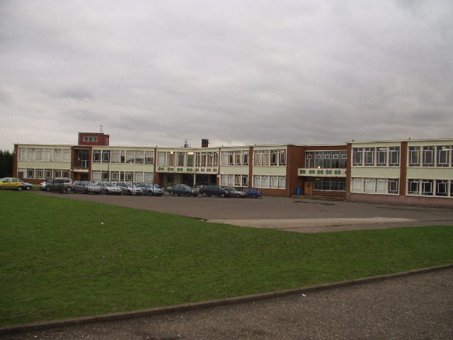
Millarston is also within close proximity to a number of schools, making it an attractive location for families with children. The area benefits from a good selection of primary and secondary schools, ensuring that residents have access to high-quality education.

Overall, Millarston offers a peaceful residential setting with excellent transport links and access to a range of amenities. Its proximity to Paisley and Glasgow makes it an ideal location for those seeking a balance between suburban living and easy access to city life.

If you have any feedback on the listing, please let us know in the comments section below.
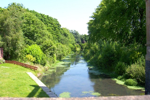
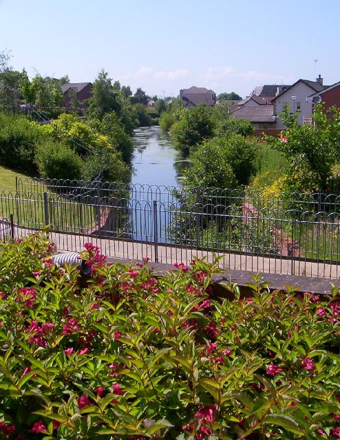
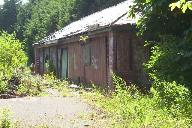
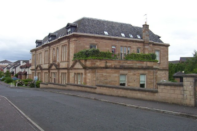
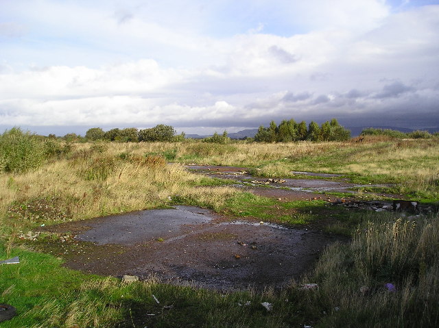
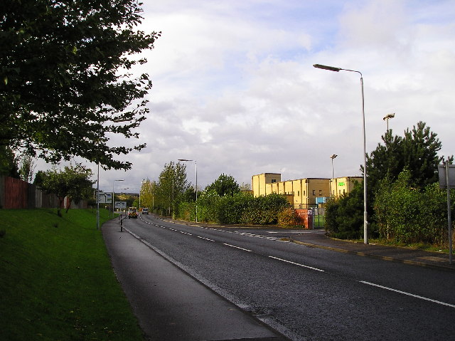
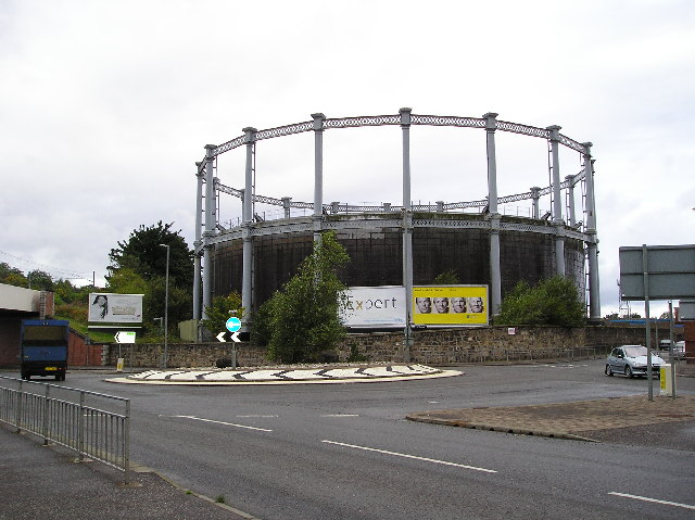
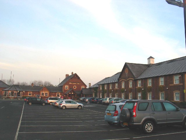
Millarston Images

Images are sourced within 2km of 55.839516/-4.465861 or Grid Reference NS4563. Thanks to Geograph Open Source API. All images are credited.

Linwood: Junction between A761 and A737
West Primary School, Paisley
Brediland Primary School, Foxbar
Elderslie
Elderslie
Ferguslie Thread Mills, Paisley, Scotland Bridge Lane Gate House, now converted to residential flats.
Ferguslie Thread Mills, Paisley, Scotland
Bridge Lane Gate House, now converted to residential flats.
Ferguslie Thread Mills, Paisley, Scotland Bridge Lane Gate House, now converted to residential flats
Ferguslie Thread Mills, Paisley, Scotland
Bridge Lane Gate House, now converted to residential flats
Ferguslie Thread Mills, Paisley, Scotland "Half-timers" School House 
The School building was opened by Peter Coats Jnr. in January 1887. The young female workers would attend this school and work in the mills on alternate days, hence the term "Half-Timers"
Ferguslie Thread Mills, Paisley, Scotland
"Half-timers" School House The School building was opened by Peter Coats Jnr. in January 1887. The young female workers would attend this school and work in the mills on alternate days, hence the term "Half-Timers"
Ferguslie Thread Mills, Paisley, Scotland Ferguslie Half-time school at Maxwelton now stands derelict. Gutted by fire and further destroyed by gale-force winds.
Ferguslie Thread Mills, Paisley, Scotland
Ferguslie Half-time school at Maxwelton now stands derelict. Gutted by fire and further destroyed by gale-force winds.
Ferguslie Thread mills, Paisley, Scotland View from rear of Gatehouse
Ferguslie Thread mills, Paisley, Scotland
View from rear of Gatehouse
Ferguslie Thread Mills, Paisley, Scotland View from front of Gatehouse onto Canal
Ferguslie Thread Mills, Paisley, Scotland
View from front of Gatehouse onto Canal
Ferguslie Thread Mills, Paisley, Scotland "Half-timers" School Outbuilding
Ferguslie Thread Mills, Paisley, Scotland
"Half-timers" School Outbuilding
Ferguslie Thread Mills, Paisley, Scotland Mill Counting House, now converted to Residential Flats
Ferguslie Thread Mills, Paisley, Scotland
Mill Counting House, now converted to Residential Flats
Green Triangle Wallace Avenue Elderslie, the monument to William Wallace is situated at the bottom of the avenue. Elderslie is reputed to be the birthplace of William Wallace.
Green Triangle
Wallace Avenue Elderslie, the monument to William Wallace is situated at the bottom of the avenue. Elderslie is reputed to be the birthplace of William Wallace.
Derelict Land Land to the immediate north of the Phoenix Retail Park, but with the end of the runway at Glasgow Airport a tad over a mile to the north, perhaps development opportunities are limited.
Derelict Land
Land to the immediate north of the Phoenix Retail Park, but with the end of the runway at Glasgow Airport a tad over a mile to the north, perhaps development opportunities are limited.
Goods Entrance Goods Entrance for a major supermarket at phoenix retail park.
Goods Entrance
Goods Entrance for a major supermarket at phoenix retail park.
Gas Holder Station Gas Holder at the roundabout junction with of Underwood Rd and Well St, Paisley.
Gas Holder Station
Gas Holder at the roundabout junction with of Underwood Rd and Well St, Paisley.
Travel Inn, Phoenix Park by Paisley. Travel inn and restaurant just off the A737 near to Paisley, Glasgow.
Travel Inn, Phoenix Park by Paisley.
Travel inn and restaurant just off the A737 near to Paisley, Glasgow.
St Brendan's High School, Linwood
Show me another place!

Millarston is located at Grid Ref: NS4563 (Lat: 55.839516, Lng: -4.465861)

Unitary Authority: Renfrewshire

Police Authority: Renfrewshire and Inverclyde

What 3 Words

///flip.hers.admiral. Near Elderslie, Renfrewshire

Related Wikis

Ferguslie railway station

Ferguslie was a railway station to the west of Paisley, Renfrewshire, Scotland. It was constructed as a planned extension of railway passenger services...

Elderslie railway station

Elderslie railway station was a railway station serving the west of Elderslie, Scotland, originally as part of the Glasgow, Paisley, Kilmarnock and Ayr...

Ferguslie Park

Ferguslie Park is a residential suburb at the north-west extremity of Paisley in Renfrewshire, Scotland. It is bordered by the town of Linwood to the west...

Elderslie, Scotland

Elderslie (Scottish Gaelic: Achadh na Feàrna) is a village in the council area and historic county of Renfrewshire in west central Scotland. It chiefly...

Paisley West railway station

Paisley West railway station was a railway station in Paisley, Renfrewshire, Scotland. The station was originally part of the Paisley Canal Line. ��2...

Inkerman, Renfrewshire

Inkerman was a small hamlet set up in 1858 in the Abbey Parish of Paisley to house ironstone miners. Later employment came from ancillary operations, including...

Riccartsbar Hospital

Riccartsbar Hospital was a mental health facility in Paisley, Renfrewshire, Scotland. == History == The hospital, which was designed by John Honeyman,...

Royal Alexandra Hospital, Paisley

The Royal Alexandra Hospital (RAH) is the main hospital in Paisley serving a large catchment area stretching all the way to Oban and Argyll. The hospital...

Related Videos

Knockhill Circular in Largs 💙🏴󠁧󠁢󠁳󠁣󠁴󠁿💙🥰

Beautiful, peaceful wee hike with stunning views on the west coast of Scotland 󠁧󠁢󠁳󠁣󠁴󠁿 #shorts #scotland #hiking ...

Flying Emirates from Glasgow to Dubai. #drone #airline #aerialphotography #travel #uav360

Whilst filming in Seamill, I stopped to take some more aerial shots of the majestic Isle of Arran from West Kilbride. A great day filled ...

Waterfall Wander at Gleniffer Braes | Paisley

When you can't travel far to scratch the hiking itch we looked a bit closer to home for somewhere we could stretch the legs but still ...

Nearby Amenities

Located within 500m of 55.839516,-4.465861
Traffic Calming: cushion
Lat/Long: 55.8382038/-4.4621183
Post Box
Created By: Potlatch 0.10f
Ref: PA1 30
Lat/Long: 55.8399285/-4.4622254
Crossing
Crossing: traffic_signals
Crossing Ref: toucan
Lat/Long: 55.8400394/-4.4611003
Post Box
Postal Code: PA1
Ref: PA1 257
Lat/Long: 55.8433574/-4.4652451
Turning Circle
Lat/Long: 55.8369265/-4.4601176
Note: estimated position
Power: tower
Lat/Long: 55.8369135/-4.4642575
Bus Stop
Paisley, Fulbar Road / Green Road
Nat Ref: 6140519
Twoway: yes
Lat/Long: 55.8372348/-4.4624556
Power: tower
Lat/Long: 55.8401381/-4.4637926
Power: tower
Lat/Long: 55.8406273/-4.4642233
Power: tower
Lat/Long: 55.8397889/-4.4682394
Car Wash
Rapid Car Sales & Valet
Lat/Long: 55.840135/-4.4621676
Car Wash
Arc Car Wash
Lat/Long: 55.8400025/-4.4594532
Fuel
Paisley Mill Service Station
Lat/Long: 55.8398249/-4.460861
Traffic Calming: cushion
Lat/Long: 55.8395348/-4.4616473
Traffic Calming: cushion
Lat/Long: 55.8388205/-4.4618897
Traffic Calming: cushion
Lat/Long: 55.8375348/-4.4624554
Traffic Calming: cushion
Lat/Long: 55.8364819/-4.4629531
Traffic Calming: cushion
Lat/Long: 55.8370618/-4.462661
Crossing
Crossing: zebra
Lat/Long: 55.8438592/-4.4654804
Noexit: yes
Lat/Long: 55.8404356/-4.4703223
Noexit: yes
Lat/Long: 55.840942/-4.4692448
Bus Stop
Barskiven Road
Bus: yes
Naptan AtcoCode: 6140618
Naptan NaptanCode: 73923975
Public Transport: platform
Lat/Long: 55.8420652/-4.4711648
Bus Stop
Barskiven Road
Bus: yes
Departures Board: yes
Naptan AtcoCode: 6140619
Naptan NaptanCode: 73924362
Operator: McGills
Public Transport: platform
Lat/Long: 55.8421647/-4.4705921
Post Box
Collection Times: Mo-Fr 16:30; Sa 11:45
Operator: Royal Mail
Post Box Type: pillar
Ref: PA1 260
Royal Cypher: scottish_crown
Lat/Long: 55.842929/-4.4692713
Barskiven Hill
Natural: peak
Lat/Long: 55.8411731/-4.4690631
Bus Stop
Fisher Drive
Bus: yes
Operator: McGills
Public Transport: platform
Lat/Long: 55.8438473/-4.4654372
JR Volkswagen Centre
Shop: car_repair
Lat/Long: 55.8393956/-4.46131
Railway: buffer_stop
Lat/Long: 55.8395625/-4.4681187
Railway: switch
Lat/Long: 55.8393656/-4.4702198
Railway: switch
Lat/Long: 55.8394192/-4.4691966
Railway: switch
Lat/Long: 55.8393523/-4.4703868
Railway: switch
Lat/Long: 55.839556/-4.4677406
Cafe
Brand: Asda
Brand Wikidata: Q297410
Brand Wikipedia: en:Asda
Contact Phone: +44 141 848 7929
Contact Website: https://storelocator.asda.com/scotland/paisley/phoenix-retail-park/cafe
Drinking Water Refill: yes
Drinking Water Refill Network: Refill
Fixme: Location not accurate
Internet Access: wlan
Internet Access Fee: no
Opening Hours Covid19: Mo-Su off
Operator: Asda Stores Ltd
Lat/Long: 55.8423923/-4.4696326
Brand: Asda
Brand Wikidata: Q297410
Brand Wikipedia: en:Asda
Contact Phone: +44 141 842 8512
Contact Website: https://storelocator.asda.com/scotland/paisley/phoenix-retail-park/opticians
Fixme: Location not accurate
Operator: Asda Stores Ltd
Shop: optician
Lat/Long: 55.842343/-4.4695323
Pharmacy
Addr Housename: Phoenix Retail Park
Addr Postcode: PA1 2AB
Addr Street: Griffin Avenue
Addr Unit: 4
Brand: Asda
Brand Wikidata: Q297410
Brand Wikipedia: en:Asda
Contact Phone: +44 141 842 8520
Contact Website: https://storelocator.asda.com/scotland/paisley/phoenix-retail-park/pharmacy
Fhrs Id: 134944
Fixme: Location not accurate
Operator: Asda Stores Ltd
Lat/Long: 55.8422869/-4.469418
Generator Method: photovoltaic
Generator Output Electricity: yes
Generator Source: solar
Generator Type: solar_photovoltaic_panel
Power: generator
Lat/Long: 55.8380391/-4.4708017
Fergueslie
Abandoned Railway: station
Railway: site
Wikidata: Q5444218
Wikipedia: en:Ferguslie railway station
Lat/Long: 55.838193/-4.4639707
Elderslie No 1 Junction
Alt Name: Canal Junction
Railway: junction
Lat/Long: 55.8392672/-4.4696866
Poundland
Addr Country: GB
Addr Housename: Phoenix Retail Park
Addr Postcode: PA1 2AB
Addr Street: Griffin Avenue
Addr Unit: 4
Brand: Poundland
Brand Wikidata: Q1434528
Brand Wikipedia: en:Poundland
Fhrs Id: 655661
Shop: variety_store
Lat/Long: 55.8438648/-4.4668382
Bus Stop
Baronscourt Road
Bus: yes
Naptan AtcoCode: 6140617
Naptan NaptanCode: 73923893
Public Transport: platform
Lat/Long: 55.8404478/-4.465078
Bus Stop
Baronscourt Road
Bus: yes
Naptan AtcoCode: 6140616
Naptan NaptanCode: 73923648
Public Transport: platform
Lat/Long: 55.8400273/-4.465078
The data included in this document is from www.openstreetmap.org. The data is made available under ODbL.

Have you been to Millarston?

Leave your review of Millarston below (or comments, questions and feedback).