Dareduff Hill
Hill, Mountain in Renfrewshire
Scotland
Dareduff Hill

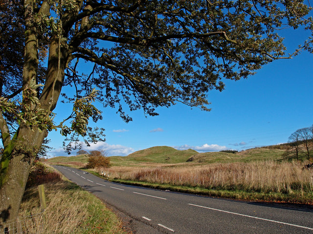
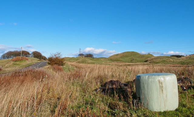
Dareduff Hill is a prominent hill located in Renfrewshire, Scotland. It is situated approximately 5 miles southwest of Paisley and 10 miles west of Glasgow. With an elevation of 334 meters (1,096 feet), it stands as a notable landmark in the local landscape.
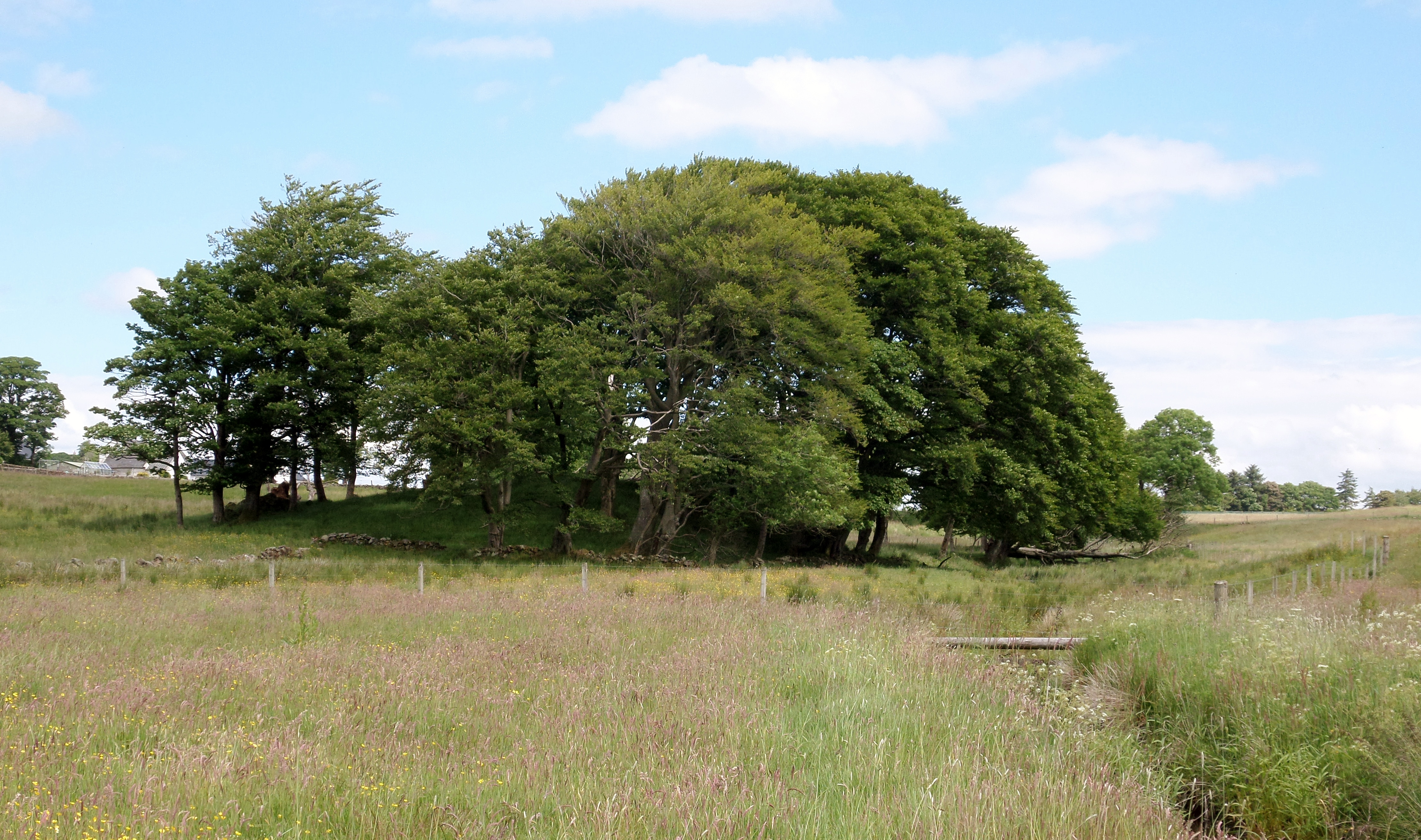
The hill is characterized by its distinctive cone-shaped summit, which offers panoramic views of the surrounding countryside. It is covered in grass and heather, with scattered patches of trees dotting its slopes. The terrain is fairly steep, particularly towards the summit, making it a popular destination for hikers and outdoor enthusiasts.
Dareduff Hill is part of a larger range known as the Renfrewshire Heights, which includes nearby peaks such as Hill of Stake and Corlic Hill. These hills were formed during the last ice age, and their geological composition mainly consists of sandstone and conglomerate rocks.
The area surrounding Dareduff Hill is rich in flora and fauna, with a variety of plant and animal species inhabiting its slopes. Visitors can spot birds such as buzzards and kestrels soaring above, while rabbits and deer can occasionally be seen grazing in the nearby fields.
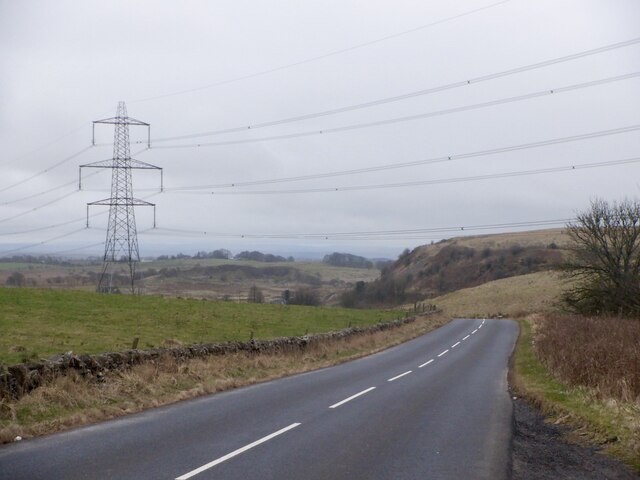
Access to Dareduff Hill is relatively straightforward, with several footpaths leading to the summit from surrounding areas. The hill provides an excellent opportunity for outdoor recreation, offering stunning views and a peaceful environment to enjoy nature.
If you have any feedback on the listing, please let us know in the comments section below.
Dareduff Hill Images
Images are sourced within 2km of 55.744547/-4.4627544 or Grid Reference NS4552. Thanks to Geograph Open Source API. All images are credited.


Dareduff Hill is located at Grid Ref: NS4552 (Lat: 55.744547, Lng: -4.4627544)
Unitary Authority: East Ayrshire
Police Authority: Ayrshire
What 3 Words
///warthog.snipe.windmills. Near Neilston, East Renfrewshire
Nearby Locations
Related Wikis

Craighall Reservoir
Craighall Reservoir, known locally as Craighall Dam, is one of a number of small reservoirs, situated around Neilston in East Renfrewshire, Scotland. The...
Uplawmoor (L&A) railway station
Uplawmoor railway station was a railway station serving the village of Uplawmoor, East Renfrewshire, Scotland as part of the Lanarkshire and Ayrshire Railway...

Uplawmoor
Uplawmoor is a village in East Renfrewshire, Scotland. Its population was 700 as of 2016. Historic Uplawmoor, associated for centuries with the Barony...

Neilston Pad
Neilston Pad, referred to locally as The Pad, is a distinctive hill in East Renfrewshire, situated a mile (1.5 km) south of the village of Neilston. Its...

Uplawmoor (GB&K) railway station
Uplawmoor railway station was a railway station near the village of Uplawmoor, East Renfrewshire, Scotland. The station was originally part of the Glasgow...

Loch Libo
Loch Libo is a freshwater loch in East Renfrewshire, Parish of Neilston, Scotland. The Lugton Water has its source from the southern end of loch, running...

Shillford
Shillford or Shilford is a hamlet to the south-west of Barrhead on the Lochlibo Road in East Renfrewshire near Uplawmoor, Scotland in the parish of Neilston...
Lands of Blacklaw
The Lands of Blacklaw formed a small property of five merks worth, in the Lordship of Stewarton at the eastern extremity of Strathannick, between the hamlet...
Nearby Amenities
Located within 500m of 55.744547,-4.4627544Have you been to Dareduff Hill?
Leave your review of Dareduff Hill below (or comments, questions and feedback).