Calfward Hill
Hill, Mountain in Wigtownshire
Scotland
Calfward Hill
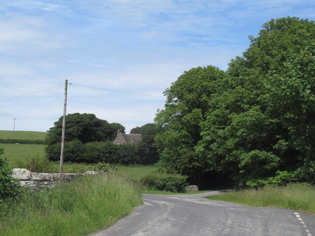
Calfward Hill is a prominent geographical feature located in the region of Wigtownshire, in southwest Scotland. Rising to an elevation of approximately 210 meters (689 feet), it is classified as a hill rather than a mountain due to its height. Situated near the village of Kirkcowan, Calfward Hill offers picturesque views of the surrounding countryside, making it a popular destination for hikers, nature enthusiasts, and photographers.
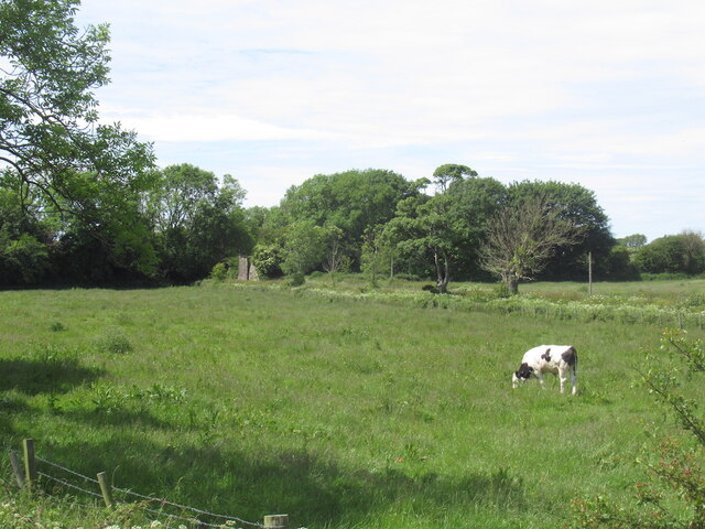
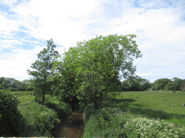
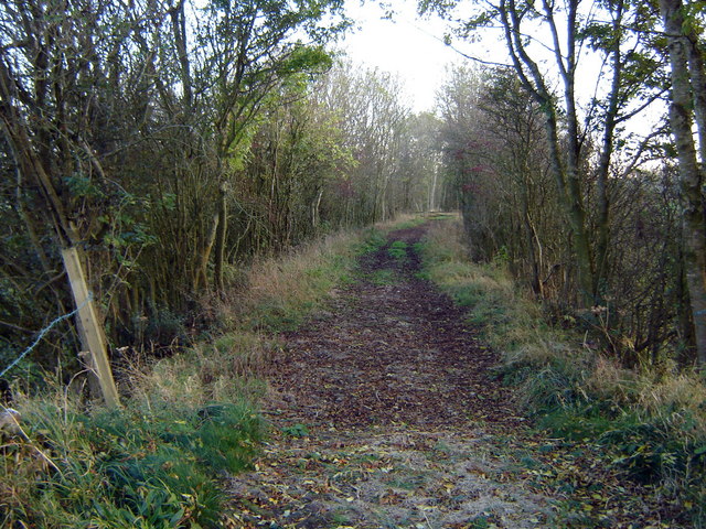
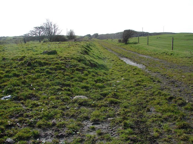
The hill is characterized by its gentle slopes and verdant landscape, primarily covered in grasses, heather, and scattered trees. It is part of a larger range of hills in the area, adding to the overall beauty and allure of the Wigtownshire region. Calfward Hill is also notable for its rich biodiversity, with various species of plants and animals thriving in its diverse ecosystem.
Alongside its natural beauty, Calfward Hill also holds historical significance. The hill is believed to have been used as a defensive site during ancient times, as evidenced by the remnants of a hillfort found on its summit. These archaeological remains provide valuable insights into the region's past and attract historians and archaeology enthusiasts.
Access to Calfward Hill is facilitated by several walking trails and paths that wind through the surrounding countryside, allowing visitors to explore its natural wonders at their own pace. The hill's convenient location and stunning vistas make it a must-visit destination for those seeking a tranquil escape and a deeper connection with nature.
If you have any feedback on the listing, please let us know in the comments section below.
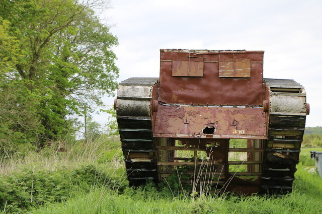
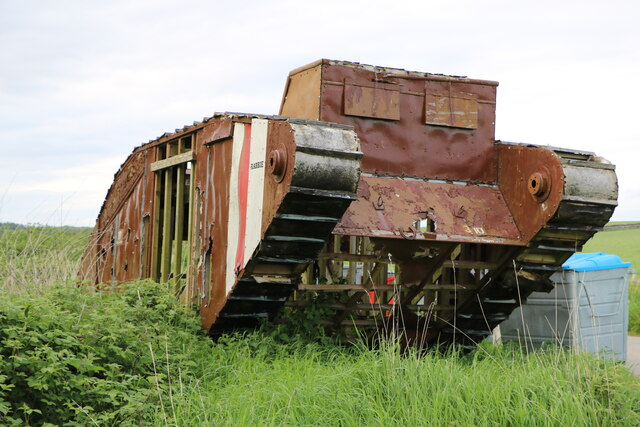
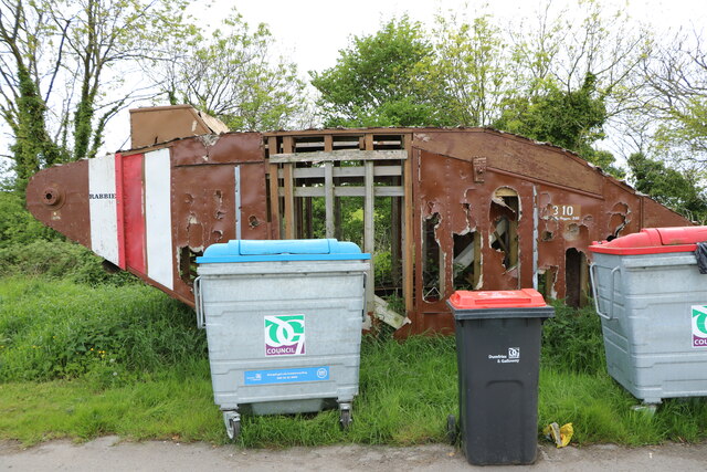
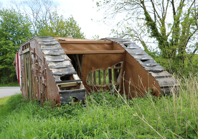
Calfward Hill Images
Images are sourced within 2km of 54.782568/-4.4064531 or Grid Reference NX4545. Thanks to Geograph Open Source API. All images are credited.


Calfward Hill is located at Grid Ref: NX4545 (Lat: 54.782568, Lng: -4.4064531)
Unitary Authority: Dumfries and Galloway
Police Authority: Dumfries and Galloway
What 3 Words
///shorter.flotation.tungsten. Near Whithorn, Dumfries & Galloway
Nearby Locations
Related Wikis
Millisle railway station
Millisle, later Millisle for Garlieston was a railway station that was near the junction for Garlieston on the Wigtownshire Railway branch line, from Newton...

Sorbie Tower
Sorbie Tower is a fortified tower house 1 mile east of the village of Sorbie, Dumfries and Galloway, Scotland. The ancient seat of the Clan Hannay, it...
Broughton Skeog railway station
Broughton Skeog (NX4554444071) was a railway station that was located near level crossing gates over a minor road on the Wigtownshire Railway branch line...

Sorbie
Sorbie (Scottish Gaelic: Soirbidh) is a small village in Wigtownshire, Machars, within the Administration area of Dumfries and Galloway Council, Scotland...
Nearby Amenities
Located within 500m of 54.782568,-4.4064531Have you been to Calfward Hill?
Leave your review of Calfward Hill below (or comments, questions and feedback).