Tacher Hill
Hill, Mountain in Wigtownshire
Scotland
Tacher Hill

Tacher Hill, located in Wigtownshire, is a prominent hill/mountain in the southwestern region of Scotland. Rising to an elevation of approximately 485 meters (1,591 feet), it offers stunning panoramic views of the surrounding countryside and coastal areas.
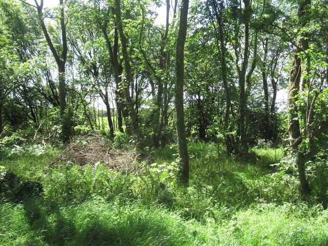
The hill is situated near the village of Kirkcowan and lies within the wider Galloway Hills range. Tacher Hill's distinct shape and prominence make it a notable landmark in the area. It is known for its rugged terrain, with steep slopes and rocky outcrops that provide a challenging but rewarding hiking experience.
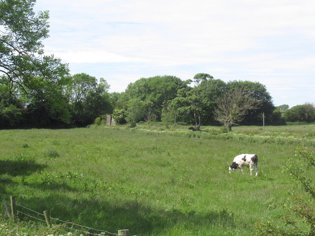
The hill is covered in a mixture of heather and grass, creating a picturesque landscape that changes with the seasons. In the summer months, the hill blooms with vibrant wildflowers, while in the winter, it is often dusted with a layer of snow, adding to its natural beauty.
Tacher Hill is a popular destination for outdoor enthusiasts, attracting hikers, nature lovers, and photographers. Several well-marked trails lead to its summit, offering varying levels of difficulty to cater to different abilities. Along the way, visitors can enjoy the diverse flora and fauna that inhabit the hill, including birds of prey, deer, and various species of wildflowers.
The hill's location also makes it an ideal spot for birdwatching, as it offers excellent vantage points to observe a variety of avian species, including buzzards, kestrels, and peregrine falcons.
Overall, Tacher Hill is a stunning natural landmark in Wigtownshire, offering outdoor enthusiasts a chance to immerse themselves in the beauty of Scotland's countryside and enjoy breathtaking views of the surrounding area.
If you have any feedback on the listing, please let us know in the comments section below.
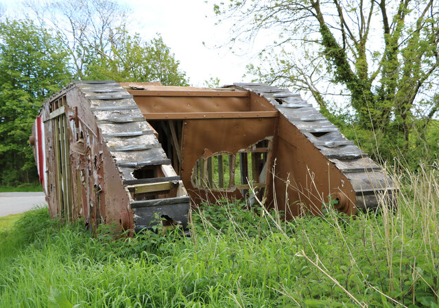
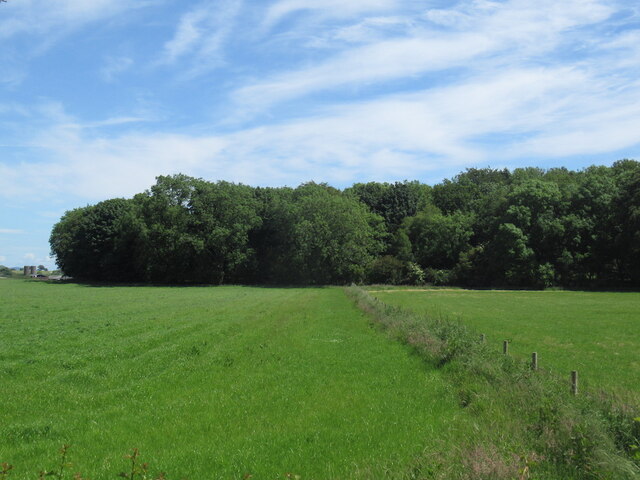
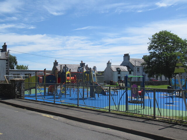
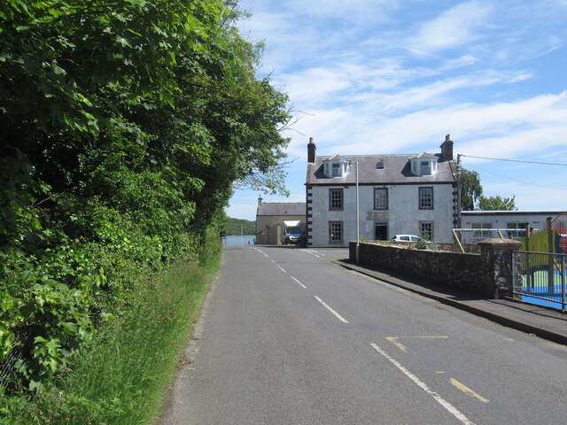
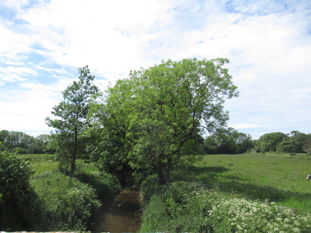
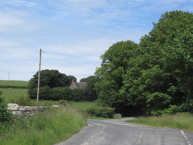
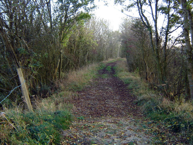
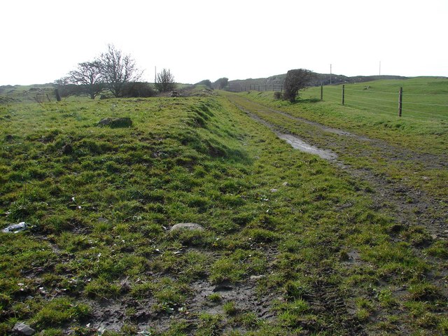
Tacher Hill Images
Images are sourced within 2km of 54.785052/-4.398575 or Grid Reference NX4545. Thanks to Geograph Open Source API. All images are credited.


Tacher Hill is located at Grid Ref: NX4545 (Lat: 54.785052, Lng: -4.398575)
Unitary Authority: Dumfries and Galloway
Police Authority: Dumfries and Galloway
What 3 Words
///pacemaker.trading.trials. Near Whithorn, Dumfries & Galloway
Nearby Locations
Related Wikis
Millisle railway station
Millisle, later Millisle for Garlieston was a railway station that was near the junction for Garlieston on the Wigtownshire Railway branch line, from Newton...

Sorbie Tower
Sorbie Tower is a fortified tower house 1 mile east of the village of Sorbie, Dumfries and Galloway, Scotland. The ancient seat of the Clan Hannay, it...

Garlieston railway station
Garlieston is the closed terminus of the Garlieston branch of Wigtownshire Railway; running from a junction at Millisle. It served the coastal village...
Broughton Skeog railway station
Broughton Skeog (NX4554444071) was a railway station that was located near level crossing gates over a minor road on the Wigtownshire Railway branch line...

Sorbie
Sorbie (Scottish Gaelic: Soirbidh) is a small village in Wigtownshire, Machars, within the Administration area of Dumfries and Galloway Council, Scotland...

Galloway House
Galloway House is a Category A listed country house in Sorbie, Dumfries and Galloway, Scotland. == History == Adjoining the estate village of Garlieston...
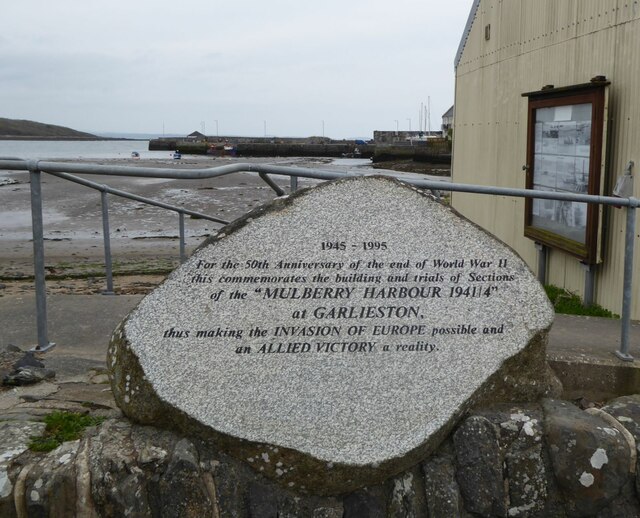
Garlieston
Garlieston (Scottish Gaelic: Baile Gheàrr Lios, IPA:[ˈpaləʝeaːᵲʎis̪]) is a small planned coastal village in the historical county of Wigtownshire in Dumfries...

Sorbie railway station
Sorbie (NX4351447562) was a railway station that was located close to the village of Sorbie on the then Wigtownshire Railway branch line to Whithorn, from...
Nearby Amenities
Located within 500m of 54.785052,-4.398575Have you been to Tacher Hill?
Leave your review of Tacher Hill below (or comments, questions and feedback).