Drummaston Hill

Hill, Mountain in Wigtownshire

Scotland

Drummaston Hill

Small Tortoiseshell Butterflies Four Small Tortoiseshell butterflies (Aglais urticae) feeding on Buddleia flowers.
Small Tortoiseshell Butterflies Credit: Jon Alexander

Located in Wigtownshire, Scotland, Drummaston Hill is a prominent feature that stands proudly at an elevation of 210 meters (689 feet). This hill, also referred to as a mountain by some due to its height, is situated near the small village of Kirkinner. It is renowned for its breathtaking panoramic views of the surrounding area, making it a popular destination for locals and visitors alike.

Drummaston Hill is characterized by its distinctive conical shape, with a gentle slope that gradually ascends to its peak. The hill is predominantly composed of sandstone, giving it a unique reddish-brown hue that stands out against the lush greenery of the surrounding countryside. Its exposed cliffs and rocky outcrops add to the hill's rugged charm.

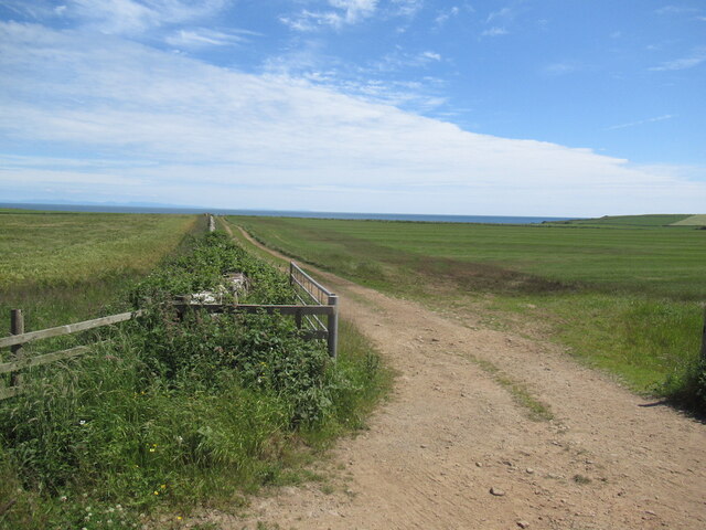
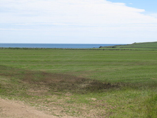
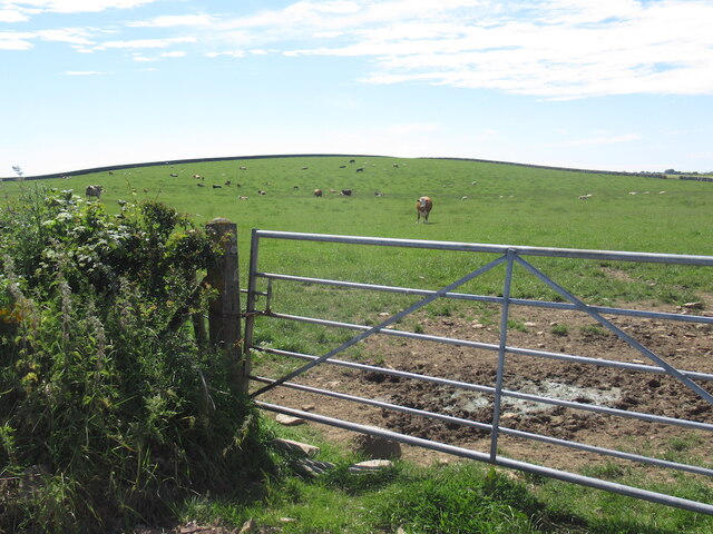
The summit of Drummaston Hill offers a spectacular vantage point, providing uninterrupted views of the rolling hills and patchwork fields that stretch for miles. On a clear day, one can even catch a glimpse of the sparkling waters of Luce Bay to the south. This natural beauty has made Drummaston Hill a popular spot for nature enthusiasts, hikers, and photographers.

The hill is easily accessible, with well-maintained footpaths leading to the summit from nearby Kirkinner. Although the ascent can be steep in some areas, the reward of the stunning vistas at the top is well worth the effort. Visitors can indulge in a leisurely stroll or a more challenging hike, depending on their preferences and fitness levels.

Drummaston Hill's natural beauty, combined with its accessibility and panoramic views, make it a must-visit destination for those seeking to immerse themselves in the picturesque landscapes of Wigtownshire. Whether it is for a peaceful nature walk, a spot of birdwatching, or simply to admire the breathtaking surroundings, Drummaston Hill offers an unforgettable experience for all who venture to its summit.

If you have any feedback on the listing, please let us know in the comments section below.

Drummaston Hill Images

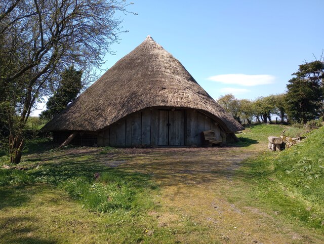
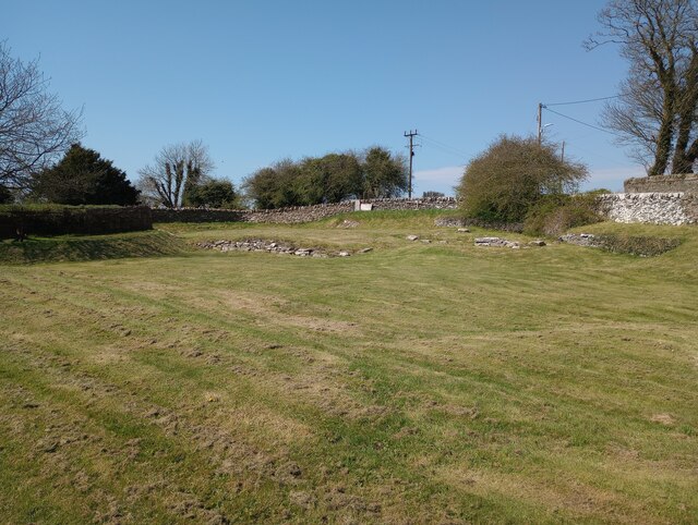
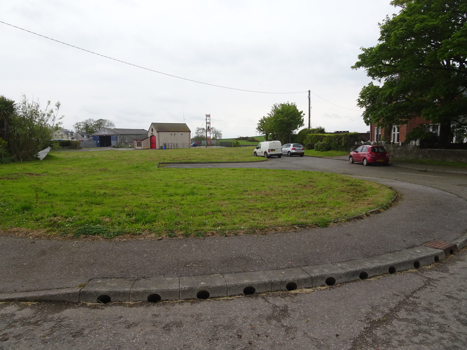
Images are sourced within 2km of 54.74005/-4.3959913 or Grid Reference NX4540. Thanks to Geograph Open Source API. All images are credited.

Small Tortoiseshell Butterflies Four Small Tortoiseshell butterflies (Aglais urticae) feeding on Buddleia flowers.
Small Tortoiseshell Butterflies
Four Small Tortoiseshell butterflies (Aglais urticae) feeding on Buddleia flowers.
Painted Lady Butterfly The underside of a Painted Lady butterfly (Vanessa cardui) feeding on the flowers of a Buddleia.
Painted Lady Butterfly
The underside of a Painted Lady butterfly (Vanessa cardui) feeding on the flowers of a Buddleia.
Painted Lady Butterfly A rather faded Painted Lady butterfly (Vanessa cardui) on Buddleia flower spikes.
Painted Lady Butterfly
A rather faded Painted Lady butterfly (Vanessa cardui) on Buddleia flower spikes.
Peacock Butterfly A Peacock butterfly (Aglais io) on a Buddleia flower spike.
Peacock Butterfly
A Peacock butterfly (Aglais io) on a Buddleia flower spike.
Small Tortoiseshell Butterfly Small Tortoiseshell butterfly (Aglais urticae) on Buddleia.
Small Tortoiseshell Butterfly
Small Tortoiseshell butterfly (Aglais urticae) on Buddleia.
Dinnans With its own Port Allen.
Let sleeping bulls lie!
Dinnans
With its own Port Allen. Let sleeping bulls lie!
The Old Schoolhouse, Castlehill Decorated for the Queen's Platinum Jubilee.
The Old Schoolhouse, Castlehill
Decorated for the Queen's Platinum Jubilee.
Near Palmallet A track heading for the sea.
Near Palmallet
A track heading for the sea.
Machars arable Field near Palmallet.
Machars arable
Field near Palmallet.
Blindwalls Hill A drumlin
Blindwalls Hill
A drumlin
Whithorn, Former Grapes Hotel
Old milestone The W on the old Wigtownshire milestones may be for Wigtown or Whithorn.  This stone is 1 mile north of Whithorn.
Old milestone
The W on the old Wigtownshire milestones may be for Wigtown or Whithorn. This stone is 1 mile north of Whithorn.
Old milestone The G on the old Wigtownshire milestones can be for Garlieston or Glen Luce.   This stone with surrounding vegetation cleared by a Milestone Society member points to Garlieston.
Old milestone
The G on the old Wigtownshire milestones can be for Garlieston or Glen Luce. This stone with surrounding vegetation cleared by a Milestone Society member points to Garlieston.
Old milestone G for Garlieston, 3 miles northeast of Whithorn near a Bends sign on the B7004.   Vegetation cleared by a Milestone Society member.
Old milestone
G for Garlieston, 3 miles northeast of Whithorn near a Bends sign on the B7004. Vegetation cleared by a Milestone Society member.
Old milestone W for Whithorn on this stone on the western verge of the B7004 just south of the Bends sign.
Old milestone
W for Whithorn on this stone on the western verge of the B7004 just south of the Bends sign.
St Ninian's Priory Cradle of Christianity in Scotland
St Ninian's Priory
Cradle of Christianity in Scotland
Whithorn Roundhouse A replica based on an excavation in the region which could be dated to 430BC
Whithorn Roundhouse
A replica based on an excavation in the region which could be dated to 430BC
Glebe Field Whithorn Subject to an extensive dig between 1986 and 1991 <a href="https://www.geograph.org.uk/photo/2730254">NX4440 : Whithorn Archaeological Dig</a>
Glebe Field Whithorn
Subject to an extensive dig between 1986 and 1991 NX4440 : Whithorn Archaeological Dig
Show me another place!

Drummaston Hill is located at Grid Ref: NX4540 (Lat: 54.74005, Lng: -4.3959913)

Unitary Authority: Dumfries and Galloway

Police Authority: Dumfries and Galloway

What 3 Words

///attitudes.harder.innocence. Near Whithorn, Dumfries & Galloway

Nearby Locations

Drummaston Hill Sour Hill

Related Wikis

Whithorn railway station

Whithorn is the closed terminus of the Wigtownshire Railway branch, from Newton Stewart, of the Portpatrick and Wigtownshire Joint Railway. It served...

Whithorn

Whithorn (Scots pronunciation: [ˈʍɪthorn], Taigh Mhàrtainn in modern Gaelic), is a royal burgh in the historic county of Wigtownshire in Dumfries and Galloway...

Candida Casa

Candida Casa was the name given to the church established by St Ninian in Whithorn, Galloway, southern Scotland, in the mid fifth century AD. The name...

Whithorn Priory

Whithorn Priory was a medieval Scottish monastery that also served as a cathedral, located at 6 Bruce Street in Whithorn, Wigtownshire, Dumfries and Galloway...

Nearby Amenities

Located within 500m of 54.74005,-4.3959913
Drummaston Farm
Place: farm
Lat/Long: 54.7389774/-4.3926968
Low Skeog Farm
Place: farm
Lat/Long: 54.7363388/-4.3951644
Power: pole
Lat/Long: 54.7366549/-4.3924732
Power: pole
Lat/Long: 54.7371285/-4.3925174
Power: pole
Lat/Long: 54.7375833/-4.3925789
Power: pole
Lat/Long: 54.7381456/-4.3926192
Power: pole
Lat/Long: 54.7387046/-4.3926788
Power: pole
Lat/Long: 54.7359484/-4.3942446
Power: pole
Lat/Long: 54.7359107/-4.3936355
The data included in this document is from www.openstreetmap.org. The data is made available under ODbL.

Have you been to Drummaston Hill?

Leave your review of Drummaston Hill below (or comments, questions and feedback).