Hillfoot
Settlement in Yorkshire
England
Hillfoot
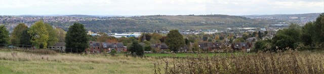
Hillfoot is a charming village situated in the county of Yorkshire in northern England. Nestled amidst the picturesque landscapes of the Yorkshire Dales, the village offers a serene and tranquil setting that attracts both locals and visitors alike. With a population of approximately 500 residents, Hillfoot exudes a close-knit community feel.
The village is renowned for its stunning natural beauty, with rolling hills, lush greenery, and enchanting countryside vistas. It is a paradise for nature lovers and outdoor enthusiasts, offering ample opportunities for hiking, cycling, and exploring the surrounding areas. Hillfoot is also home to several well-maintained walking trails that showcase the area's diverse flora and fauna.
The village boasts a rich history, with evidence of human settlement dating back to Roman times. Visitors can explore historic landmarks such as the Hillfoot Manor, a magnificent 18th-century mansion that now serves as a hotel and restaurant. The village also has a charming village square, complete with a traditional market cross, where locals gather for socializing and community events.
In terms of amenities, Hillfoot offers a range of facilities to cater to its residents' needs. These include a local pub, a post office, a convenience store, and a primary school. The village is well-connected to surrounding towns and cities via a reliable public transport network, making it an ideal place for commuters.
Overall, Hillfoot is a picturesque village that offers a peaceful and idyllic lifestyle amidst the stunning landscapes of Yorkshire. Its rich history, natural beauty, and tight-knit community make it a truly special place to live or visit.
If you have any feedback on the listing, please let us know in the comments section below.
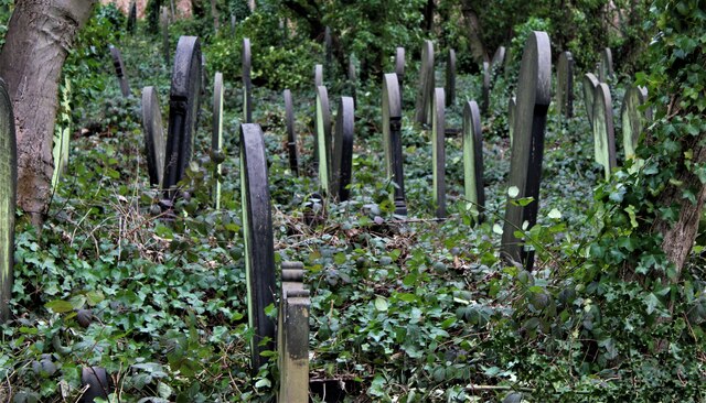
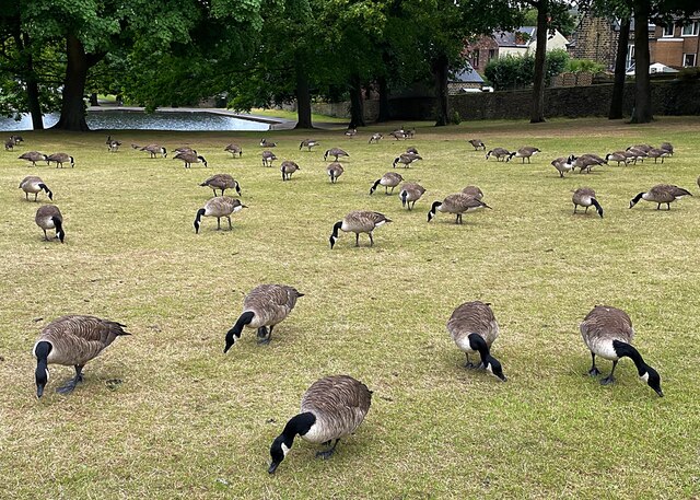
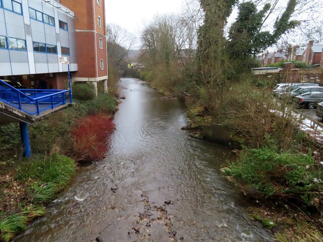
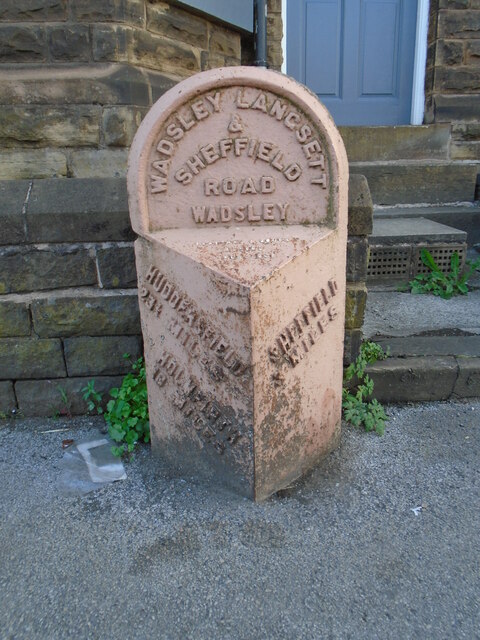
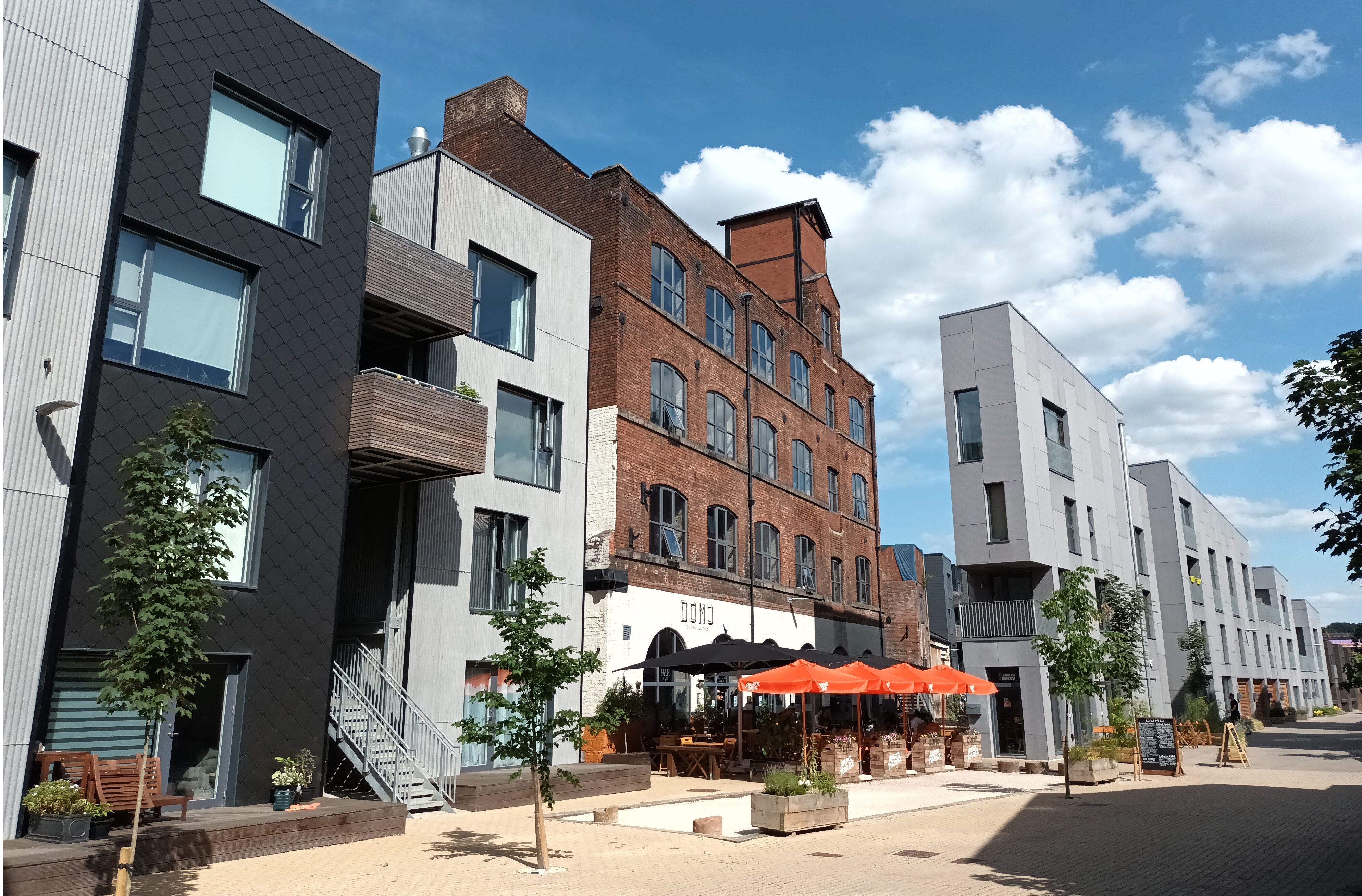
Hillfoot Images
Images are sourced within 2km of 53.397452/-1.4902471 or Grid Reference SK3389. Thanks to Geograph Open Source API. All images are credited.


Hillfoot is located at Grid Ref: SK3389 (Lat: 53.397452, Lng: -1.4902471)
Division: West Riding
Unitary Authority: Sheffield
Police Authority: South Yorkshire
What 3 Words
///alien.times.lakes. Near Burngreave, South Yorkshire
Nearby Locations
Related Wikis

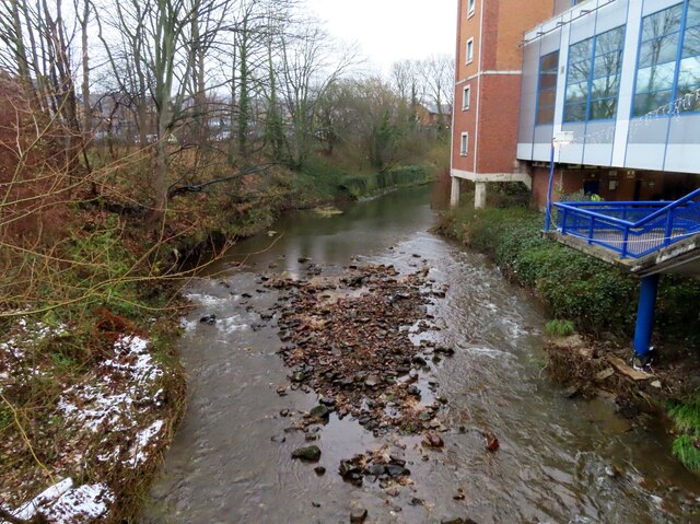
River Loxley
The River Loxley is a river in the City of Sheffield, South Yorkshire, England. Its source is a series of streams which rise some 10 miles (16 km) to the...

Neepsend railway station
Neepsend railway station was a railway station on the former Great Central Railway in England. == History == Neepsend railway station was opened on 1 July...

Hillsborough Barracks
Hillsborough Barracks is a walled complex of buildings between Langsett Road and Penistone Road in the Hillsborough District of Sheffield, South Yorkshire...
Neepsend
Neepsend is a suburb of the city of Sheffield, it stands just 1 mile (1.6 km) north-west of the city centre. The main area of Neepsend covers the flood...
Nearby Amenities
Located within 500m of 53.397452,-1.4902471Have you been to Hillfoot?
Leave your review of Hillfoot below (or comments, questions and feedback).