Hillfoot End

Settlement in Bedfordshire

England

Hillfoot End

High Road at the junction of Preslent Close
High Road at the junction of Preslent Close Credit: David Howard

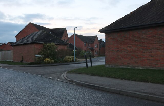
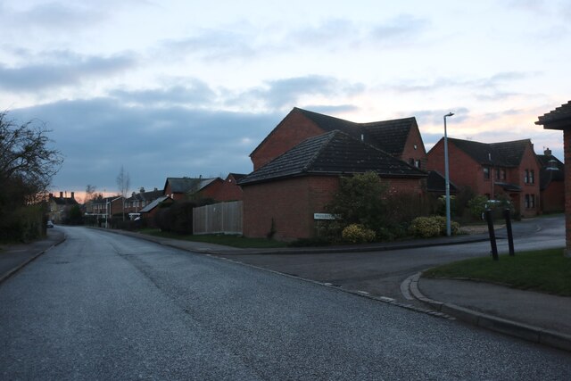
Hillfoot End is a small village located in the county of Bedfordshire, England. Situated in the rural countryside, it is surrounded by picturesque landscapes and rolling hills. The village is part of the Central Bedfordshire district and falls within the civil parish of Houghton Conquest.

Hillfoot End is a close-knit community with a population of around 300 residents. The village is known for its peaceful and tranquil atmosphere, making it an ideal place for those seeking a quiet and relaxed lifestyle. The residents of Hillfoot End take great pride in maintaining the village's natural beauty and preserving its historic charm.

The village offers a range of amenities to its residents, including a local pub, a community center, and a primary school. The pub serves as a social hub for the villagers, where they can gather and enjoy a drink or a meal together. The community center hosts various events and activities, fostering a sense of community cohesion.

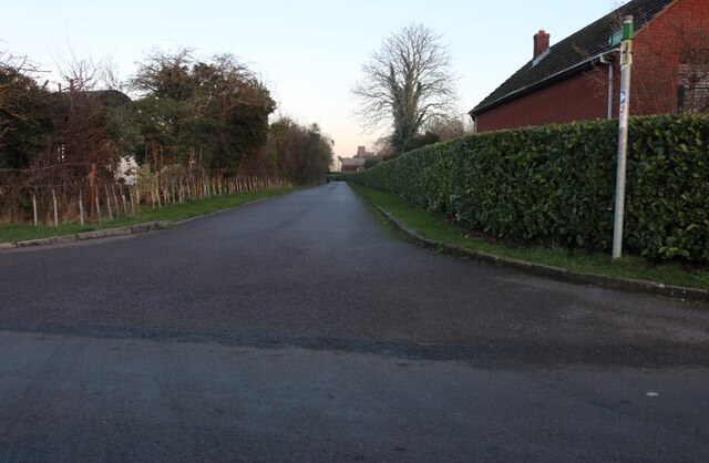
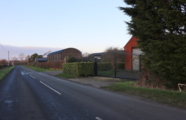
Surrounded by beautiful countryside, Hillfoot End offers ample opportunities for outdoor activities. The village is located near several nature reserves and country parks, providing residents with opportunities for walking, cycling, and wildlife spotting.

Although Hillfoot End is a peaceful rural village, it is conveniently located near major towns and cities. The nearby town of Bedford is just a short drive away, offering a wide range of shopping, entertainment, and employment opportunities.

In summary, Hillfoot End is a charming village in Bedfordshire, known for its peaceful atmosphere, natural beauty, and strong sense of community.

If you have any feedback on the listing, please let us know in the comments section below.
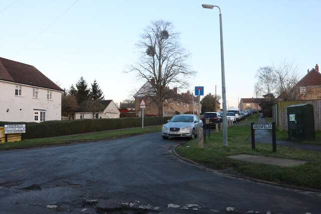
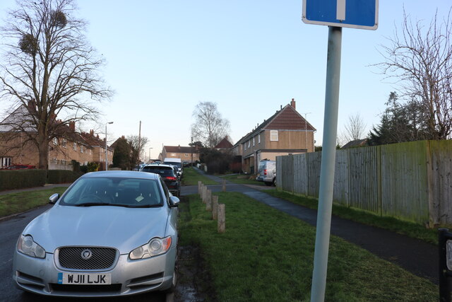
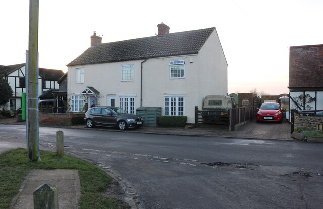
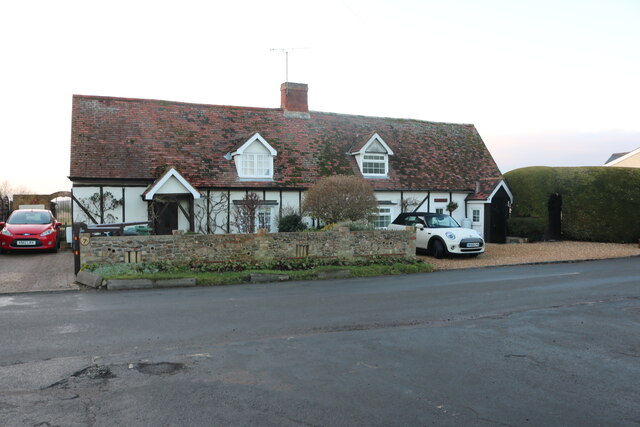
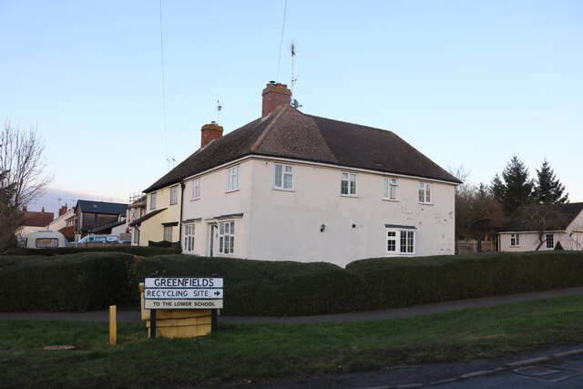
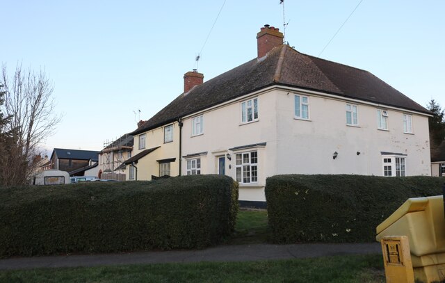
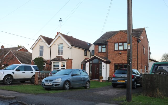
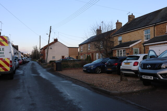
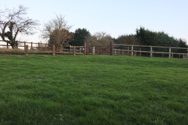
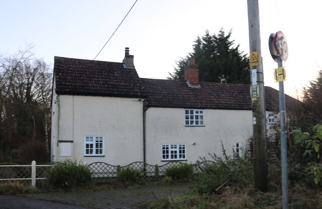
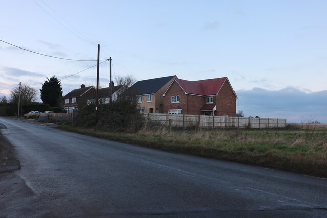
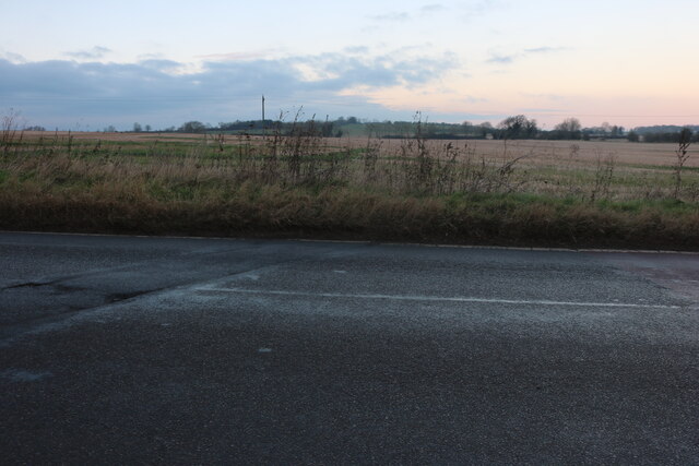
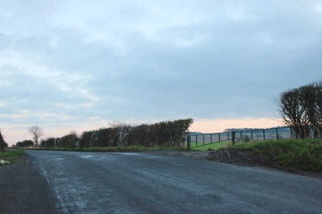
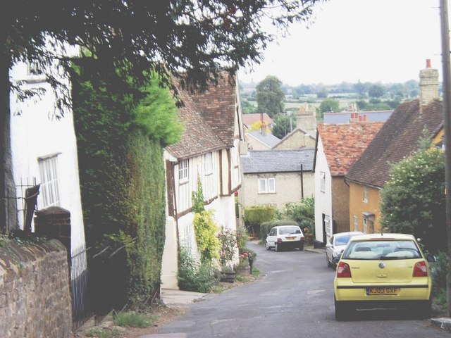
Hillfoot End Images

Images are sourced within 2km of 51.997146/-0.368582 or Grid Reference TL1234. Thanks to Geograph Open Source API. All images are credited.

High Road at the junction of Preslent Close
High Road, Shillington
Cul de sac in Hanscombe End Spot the cat. Cats Country Club is at the end so it is probably a resident as it's a boarding cattery.
Cul de sac in Hanscombe End
Spot the cat. Cats Country Club is at the end so it is probably a resident as it's a boarding cattery.
Hanscombe End
Hanscombe End
Greenfields, Shillington
Bury Road, Shillington
Old cottages on Bury Road, Shillington
Houses on the corner of Greenfields and Bury Road
Houses on Bury Road, Shillington
Bury Road, Shillington
Green by Bury Road, Shillington
House on Upton End Road
Marquis Hill, Shillington
Field by Marquis Hill, Shillington
Shillington Road, Apsley End
Ion Farm, south of Gravenhurst Bedfordshire farmland from the air
Ion Farm, south of Gravenhurst
Bedfordshire farmland from the air
Show me another place!

Hillfoot End is located at Grid Ref: TL1234 (Lat: 51.997146, Lng: -0.368582)

Unitary Authority: Central Bedfordshire

Police Authority: Bedfordshire

What 3 Words

///brownish.showrooms.gala. Near Shillington, Bedfordshire

Related Wikis

Gravenhurst, Bedfordshire

Gravenhurst is a civil parish located in the Central Bedfordshire district of Bedfordshire, England. The parish includes Lower Gravenhurst, Upper Gravenhurst...

Shillington, Bedfordshire

Shillington is a village and civil parish in Bedfordshire, England. In the south of the parish the hamlet of Pegsdon includes the Pegsdon hills nature...

St Mary's Church, Lower Gravenhurst

St Mary's Church is a redundant Anglican church in the village of Lower Gravenhurst, Bedfordshire, England. It is recorded in the National Heritage List...

Upper Gravenhurst

Upper Gravenhurst is a village and former civil parish, now in the parish of Gravenhurst, in the Central Bedfordshire district of the ceremonial county...

Nearby Amenities

Located within 500m of 51.997146,-0.368582
Post Box
Collection Times: Mo-Fr 16:30; Sa 09:15
Post Box Design: type_m
Post Box Type: lamp
Ref: SG5 82
Royal Cypher: EIIR
Royal Cypher Wikidata: Q33102113
Lat/Long: 51.99531/-0.3654563
Post Box
Collection Plate: CP7
Collection Times: Mo-Fr 16:30; Sa 09:15
Post Box Type: lamp
Ref: SG5 81
Royal Cypher: EIIR
Royal Cypher Wikidata: Q33102113
Source: GPS waypoint
Lat/Long: 52.0014/-0.3668001
Fixme: Limit of survey
Lat/Long: 52.0013148/-0.367163
Turning Circle
Turning Circle: square
Lat/Long: 52.0005372/-0.3681884
Turning Circle
Turning Circle: square
Lat/Long: 51.9959678/-0.364208
Turning Circle
Turning Circle: knuckle
Lat/Long: 52.0010349/-0.3682446
Barrier: kissing_gate
Foot: yes
Source: GPS, observation
Lat/Long: 51.9991038/-0.3677063
Barrier: kissing_gate
Foot: yes
Lat/Long: 51.9991834/-0.36769
Barrier: kissing_gate
Foot: yes
Source: GPS, observation
Lat/Long: 51.9988405/-0.3694513
Barrier: lift_gate
Motorcar: yes
Note: closed overnight
Source: Bing, observation
Lat/Long: 51.9965951/-0.3646956
Barrier: kissing_gate
Bicycle: no
Foot: yes
Source: GPS
Lat/Long: 51.9932797/-0.3683742
Recycling
Recycling Type: container
Lat/Long: 51.9965836/-0.3647545
Barrier: kissing_gate
Foot: yes
Source: GPS, observation
Lat/Long: 51.9979876/-0.3703715
Barrier: kissing_gate
Foot: yes
Source: GPS, observation
Lat/Long: 52.0013465/-0.3688829
Direction: 185
Generator Method: photovoltaic
Generator Output Electricity: yes
Generator Solar Modules: 4
Generator Source: solar
Generator Type: solar_photovoltaic_panel
Location: roof
Power: generator
Lat/Long: 51.9949923/-0.3678347
Direction: 275
Generator Method: photovoltaic
Generator Output Electricity: yes
Generator Solar Modules: 12
Generator Source: solar
Generator Type: solar_photovoltaic_panel
Location: roof
Power: generator
Lat/Long: 51.9950313/-0.3675698
Direction: 185
Generator Method: photovoltaic
Generator Output Electricity: yes
Generator Solar Modules: 16
Generator Source: solar
Generator Type: solar_photovoltaic_panel
Location: roof
Power: generator
Lat/Long: 51.9943262/-0.3653037
Direction: 185
Generator Method: photovoltaic
Generator Output Electricity: yes
Generator Solar Modules: 20
Generator Source: solar
Generator Type: solar_photovoltaic_panel
Location: roof
Power: generator
Lat/Long: 51.9944294/-0.3654102
Direction: 185
Generator Method: photovoltaic
Generator Output Electricity: yes
Generator Solar Modules: 13
Generator Source: solar
Generator Type: solar_photovoltaic_panel
Location: roof
Power: generator
Lat/Long: 51.9945361/-0.3653725
Direction: 95
Generator Method: photovoltaic
Generator Output Electricity: yes
Generator Solar Modules: 8
Generator Source: solar
Generator Type: solar_photovoltaic_panel
Location: roof
Power: generator
Lat/Long: 51.9942237/-0.3643207
Direction: 275
Generator Method: photovoltaic
Generator Output Electricity: yes
Generator Solar Modules: 8
Generator Source: solar
Generator Type: solar_photovoltaic_panel
Location: roof
Power: generator
Lat/Long: 51.9942289/-0.364383
Direction: 185
Generator Method: photovoltaic
Generator Output Electricity: yes
Generator Solar Modules: 10
Generator Source: solar
Generator Type: solar_photovoltaic_panel
Location: roof
Power: generator
Lat/Long: 51.9961692/-0.3677848
Direction: 185
Generator Method: photovoltaic
Generator Output Electricity: yes
Generator Solar Modules: 10
Generator Source: solar
Generator Type: solar_photovoltaic_panel
Location: roof
Power: generator
Lat/Long: 51.9978466/-0.3672513
Direction: 185
Generator Method: photovoltaic
Generator Output Electricity: yes
Generator Solar Modules: 8
Generator Source: solar
Generator Type: solar_photovoltaic_panel
Location: roof
Power: generator
Lat/Long: 51.999635/-0.3674988
The data included in this document is from www.openstreetmap.org. The data is made available under ODbL.

Have you been to Hillfoot End?

Leave your review of Hillfoot End below (or comments, questions and feedback).