Lower Walkley
Settlement in Yorkshire
England
Lower Walkley
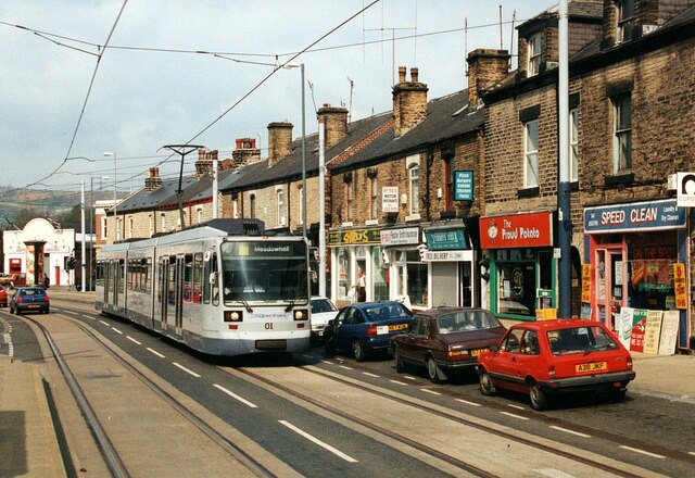
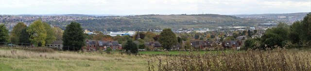
Lower Walkley is a small residential area located in the city of Sheffield, South Yorkshire, England. Situated to the west of the city center, Lower Walkley is a predominantly working-class neighborhood with a mix of housing types including terraced houses, semi-detached homes, and some newer developments.
The area is well-connected to the city center and surrounding areas by public transport, with several bus routes serving the area. Lower Walkley is also close to amenities such as shops, schools, and parks, making it a convenient and desirable place to live for families and young professionals.
The community in Lower Walkley is tight-knit and friendly, with a strong sense of local pride. Residents often come together for events and activities, fostering a sense of belonging and camaraderie.
Overall, Lower Walkley is a welcoming and vibrant neighborhood with a good balance of residential and commercial spaces, making it a popular choice for those looking for a peaceful yet connected place to call home in the bustling city of Sheffield.
If you have any feedback on the listing, please let us know in the comments section below.
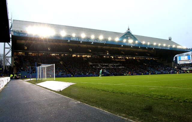
Lower Walkley Images
Images are sourced within 2km of 53.398323/-1.5008695 or Grid Reference SK3389. Thanks to Geograph Open Source API. All images are credited.


Lower Walkley is located at Grid Ref: SK3389 (Lat: 53.398323, Lng: -1.5008695)
Division: West Riding
Unitary Authority: Sheffield
Police Authority: South Yorkshire
What 3 Words
///formed.slide.stocks. Near Burngreave, South Yorkshire
Nearby Locations
Related Wikis

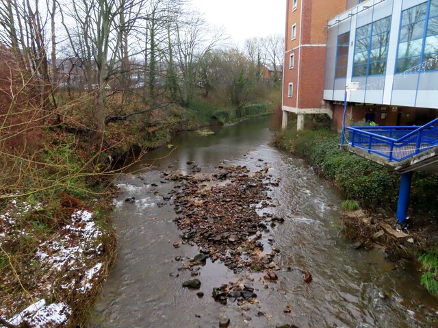
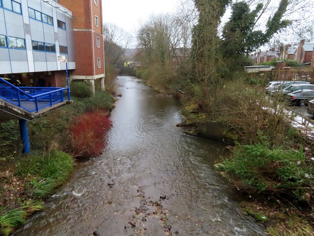
River Rivelin
The River Rivelin is a river in Sheffield, South Yorkshire, England. It rises on the Hallam moors, in north west Sheffield, and joins the River Loxley...

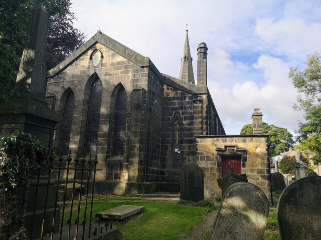
Sacred Heart Church, Hillsborough
Sacred Heart Church is located in Forbes Road in the Hillsborough district of the city of Sheffield, South Yorkshire, England at grid reference SK333894...
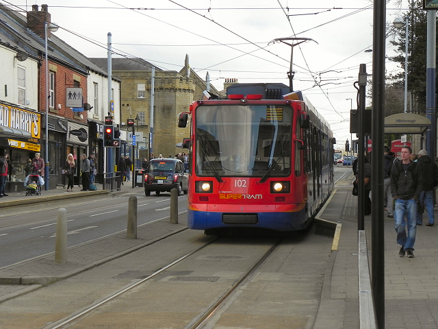
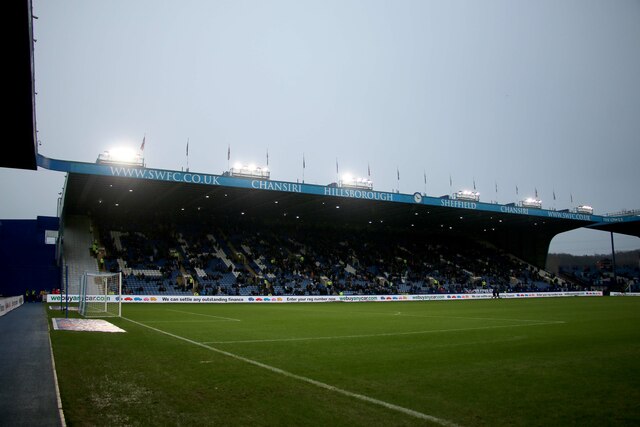
Hillsborough Interchange
Hillsborough Interchange is a bus and tram interchange in Hillsborough, Sheffield. It serves a variety of operators including First South Yorkshire,Sheffield...

Walkley Library
Walkley Library is a public lending library in Walkley, a suburb of the City of Sheffield in England. It stands at the junction of Walkley Road and South...
Nearby Amenities
Located within 500m of 53.398323,-1.5008695Have you been to Lower Walkley?
Leave your review of Lower Walkley below (or comments, questions and feedback).