Lower Walmer
Settlement in Kent Dover
England
Lower Walmer
The requested URL returned error: 429 Too Many Requests
If you have any feedback on the listing, please let us know in the comments section below.
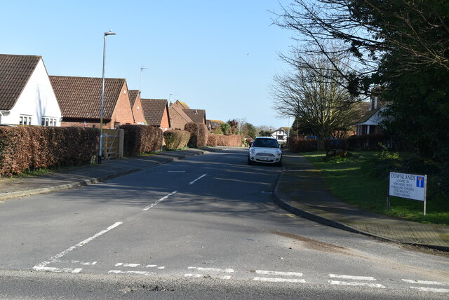
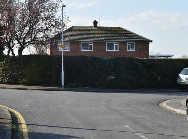
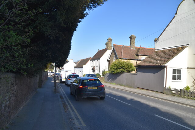
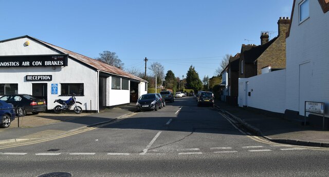
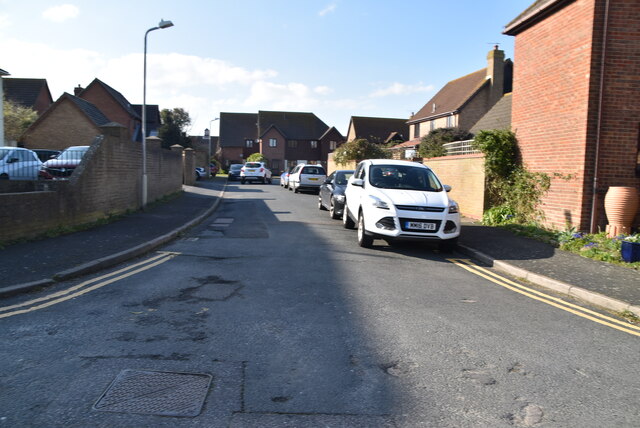
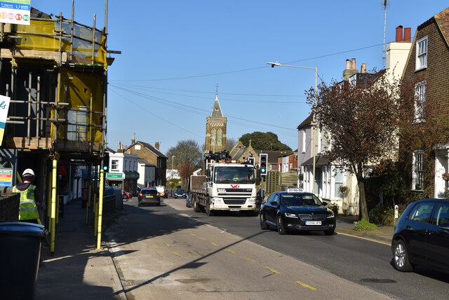
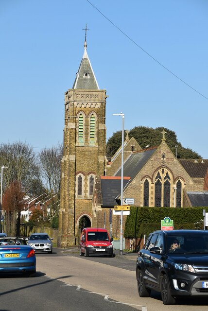
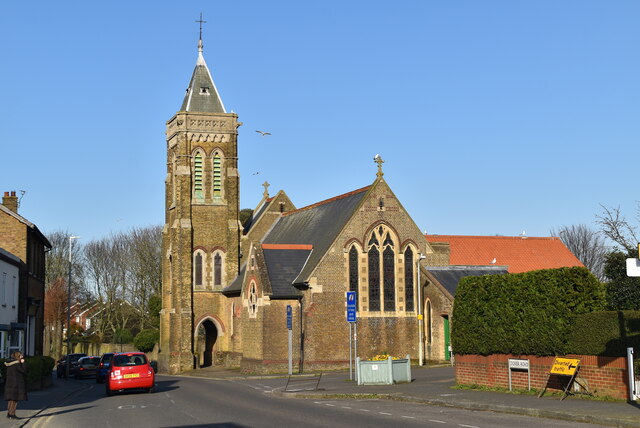
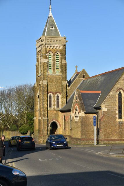
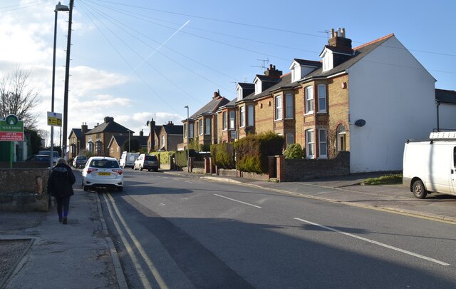
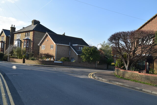
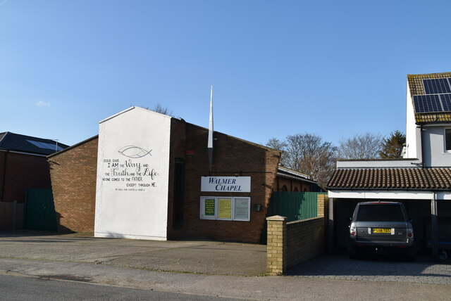
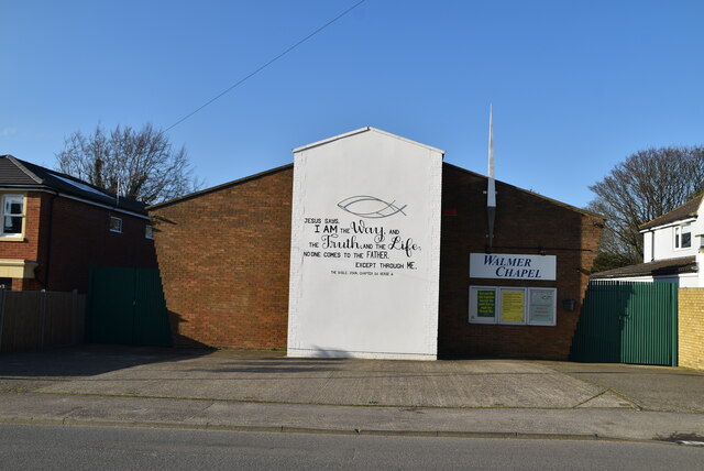
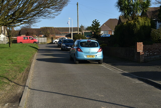
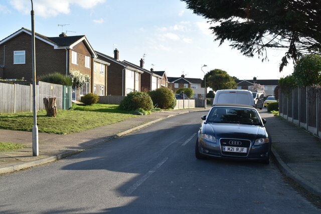
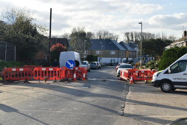
Lower Walmer Images
Images are sourced within 2km of 51.212713/1.4026542 or Grid Reference TR3751. Thanks to Geograph Open Source API. All images are credited.
Lower Walmer is located at Grid Ref: TR3751 (Lat: 51.212713, Lng: 1.4026542)
Administrative County: Kent
District: Dover
Police Authority: Kent
What 3 Words
///taker.each.react. Near Deal, Kent
Nearby Locations
Related Wikis
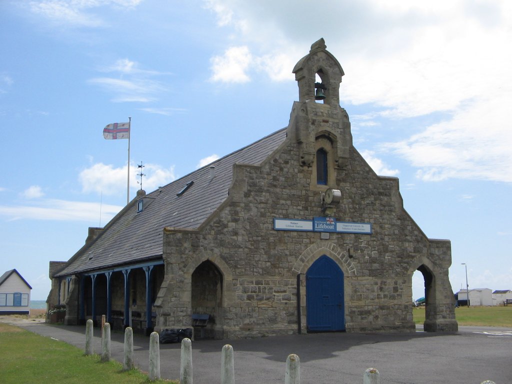
Walmer Lifeboat Station
Walmer Lifeboat Station was established in 1830. Over two thousand ships are believed to have been wrecked on the Goodwin Sands, and the masts of several...

St Saviour's, Walmer
St Saviour's is a church on the seafront of Walmer, Kent, United Kingdom. == History == The foundation stone of St Saviour's, Walmer, was laid on 15 August...

Deal barracks bombing
The Deal barracks bombing was an attack by the Provisional Irish Republican Army (IRA) on the Royal Marine Depot, Deal, England. It took place at 8:22...
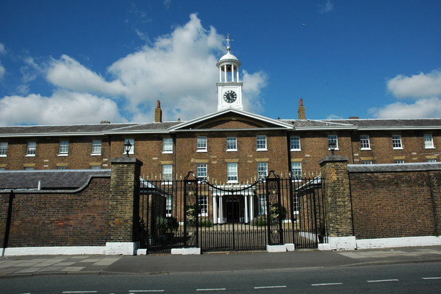
Royal Marine Depot, Deal
The Royal Marine Depot, Deal (also called the Royal Marine Depot, Walmer) was a military installation occupied by the Royal Marines and located in South...
Nearby Amenities
Located within 500m of 51.212713,1.4026542Have you been to Lower Walmer?
Leave your review of Lower Walmer below (or comments, questions and feedback).