Lower Wellhouse

Settlement in Yorkshire

England

Lower Wellhouse

Bridge near Slaithwaite Station
Bridge near Slaithwaite Station Credit: SMJ

The requested URL returned error: 429 Too Many Requests

If you have any feedback on the listing, please let us know in the comments section below.

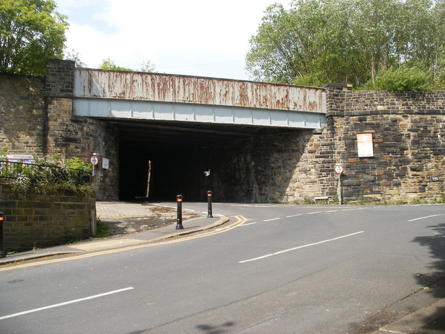
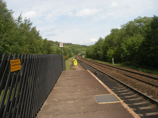
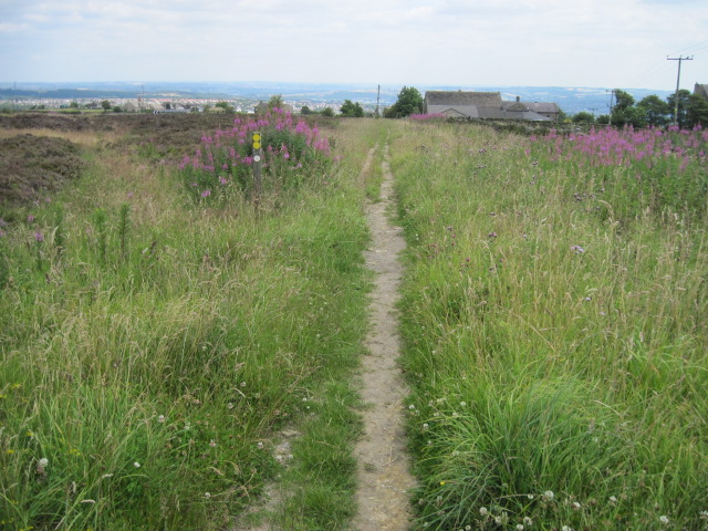
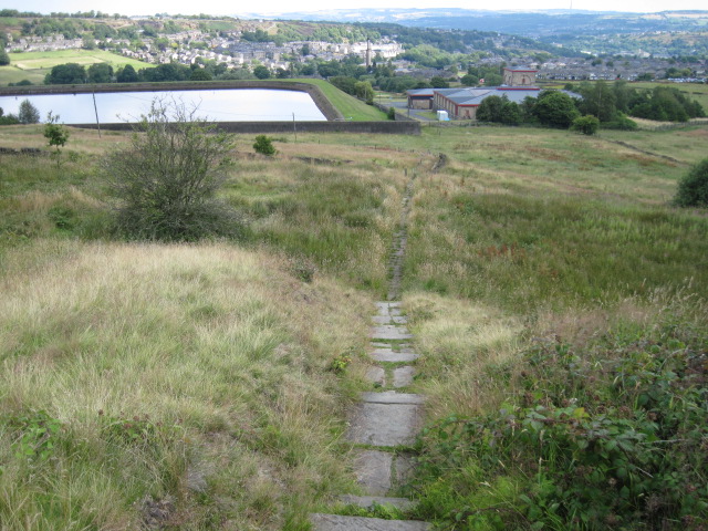
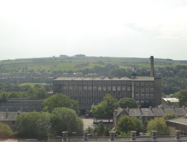
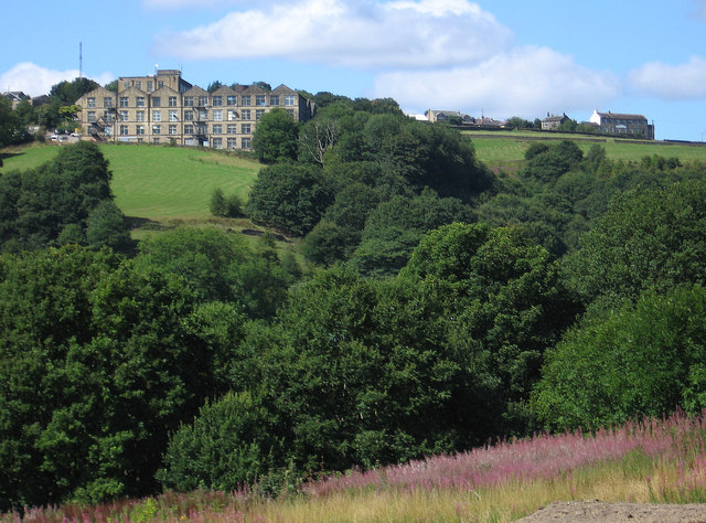
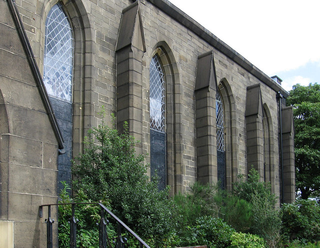
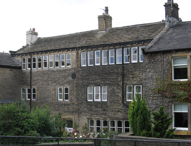
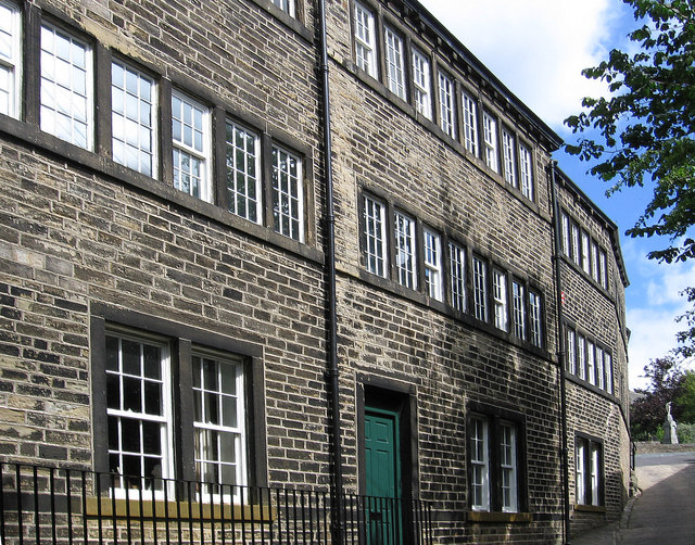
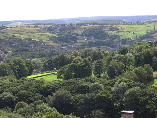
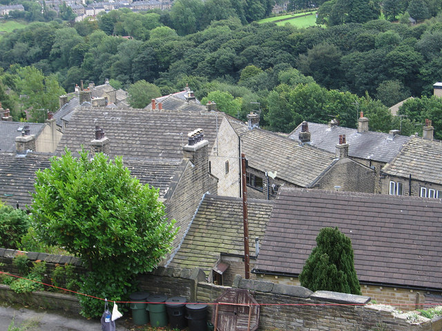
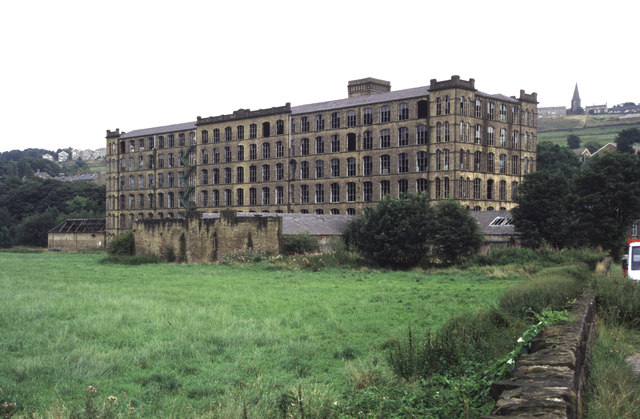
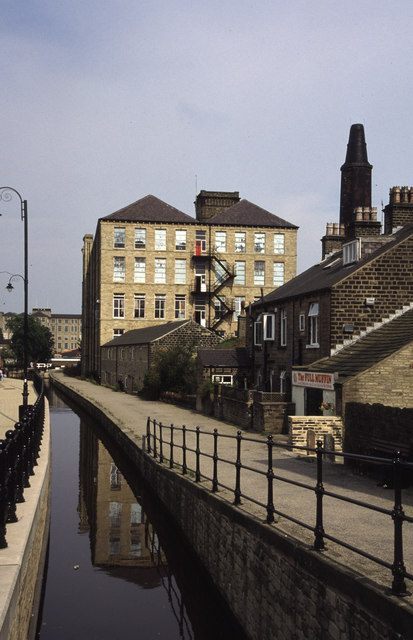
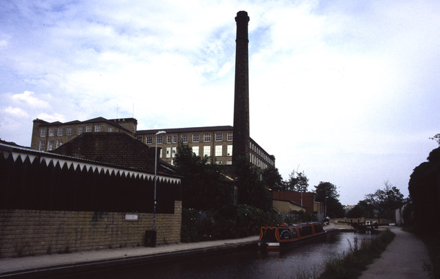
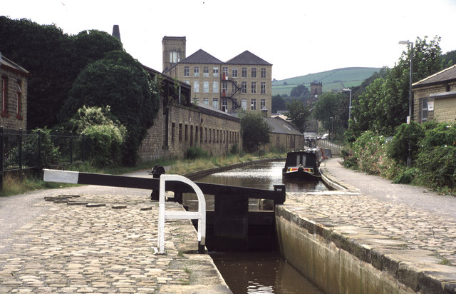
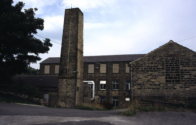
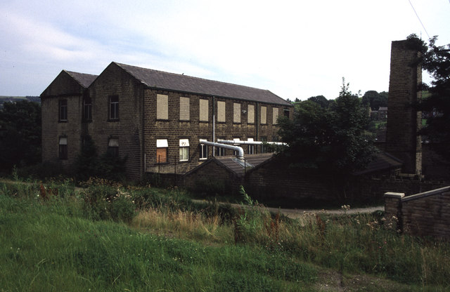
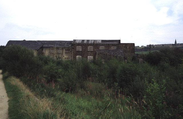
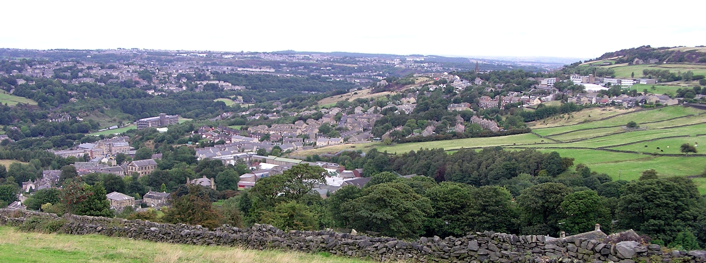
Lower Wellhouse Images

Images are sourced within 2km of 53.632168/-1.8556057 or Grid Reference SE0915. Thanks to Geograph Open Source API. All images are credited.

Bridge near Slaithwaite Station
Looking east from Slaithwaite Station
Footpath toward Scapegoat Hill School
Footpath to Longwood Reservoir
Mills in New Street Slaithwaite From railway
Mills in New Street Slaithwaite
From railway
Golcar - Heath House Mill From Carr Top Lane.  For an alternative view, please see <a href="https://www.geograph.org.uk/photo/2194619">SE0915 : Heath House Mill, Golcar</a>.
Golcar - Heath House Mill
From Carr Top Lane. For an alternative view, please see SE0915 : Heath House Mill, Golcar.
Golcar - St John's Parish Church
Golcar - weavers cottages on Town End
Golcar - Colne Valley Museum
Golcar - view to Linthwaite Across the Colne Valley.
Golcar - view to Linthwaite
Across the Colne Valley.
Golcar - rooftops on Carr Top Lane
Titanic Mill This textile mill was built in 1912 and was hence known as Titanic Mill. It was lying derelict and unloved when I photographed it in 2002 but it has since been converted in to apartments and the photograph here <a href="https://www.geograph.org.uk/photo/2194713">SE0914 : Titanic Mill</a> was taken from practically the same location. In some ways I prefer the earlier photograph.
Titanic Mill
This textile mill was built in 1912 and was hence known as Titanic Mill. It was lying derelict and unloved when I photographed it in 2002 but it has since been converted in to apartments and the photograph here SE0914 : Titanic Mill was taken from practically the same location. In some ways I prefer the earlier photograph.
Huddersfield Narrow Canal, Slaithwaite Now restored for navigation. This stretch through Slaithwaite had been culverted (in the 1970s I think) and had to be re-excavated. A fine job has been made. This was the first time I had seen this and was on a walk along the Yorkshire side of the canal before Standedge Tunnel
Huddersfield Narrow Canal, Slaithwaite
Now restored for navigation. This stretch through Slaithwaite had been culverted (in the 1970s I think) and had to be re-excavated. A fine job has been made. This was the first time I had seen this and was on a walk along the Yorkshire side of the canal before Standedge Tunnel
Huddersfield Narrow Canal, Slaithwaite Platt Lane bridge in the distance alongside Spa Mill. The latter is an example of a Yorkshire cotton mill but in stone, rather than the red brick of lancashire. The chimney is that of Platt Mill
Huddersfield Narrow Canal, Slaithwaite
Platt Lane bridge in the distance alongside Spa Mill. The latter is an example of a Yorkshire cotton mill but in stone, rather than the red brick of lancashire. The chimney is that of Platt Mill
Huddersfield Narrow Canal, Slaithwaite The lock gate carries the date 2000. Globe Mills are seen in the distance. A magnificent feat of canal restoration to surpass the recent Droitwich Canals project.
Huddersfield Narrow Canal, Slaithwaite
The lock gate carries the date 2000. Globe Mills are seen in the distance. A magnificent feat of canal restoration to surpass the recent Droitwich Canals project.
Lees Mill, Golcar A small mill complex. Humphrey Bolton locates this in Golcar.
Lees Mill, Golcar
A small mill complex. Humphrey Bolton locates this in Golcar.
Lees Mill, Golcar Photographed across the Huddersfield Narrow Canal.
Lees Mill, Golcar
Photographed across the Huddersfield Narrow Canal.
Low Westwood Mill, Golcar Derelict mill with a silted up and overgrown pond. This view <a href="https://www.geograph.org.uk/photo/508312">SE0914 : Low Westwood Mills</a> shows it in better times. The towpath of the Huddersfield Narrow Canal is on the left.
Low Westwood Mill, Golcar
Derelict mill with a silted up and overgrown pond. This view SE0914 : Low Westwood Mills shows it in better times. The towpath of the Huddersfield Narrow Canal is on the left.
Show me another place!

Lower Wellhouse is located at Grid Ref: SE0915 (Lat: 53.632168, Lng: -1.8556057)

Division: West Riding

Unitary Authority: Kirklees

Police Authority: West Yorkshire

What 3 Words

///gears.carry.oiled. Near Linthwaite, West Yorkshire

Related Wikis

Golcar railway station

Golcar railway station is a former railway station serving Golcar in West Yorkshire, England that was located between the existing Huddersfield and Slaithwaite...

Colne Valley

The Colne Valley is a steep sided valley on the east flank of the Pennine Hills in the English county of West Yorkshire. It takes its name from the River...
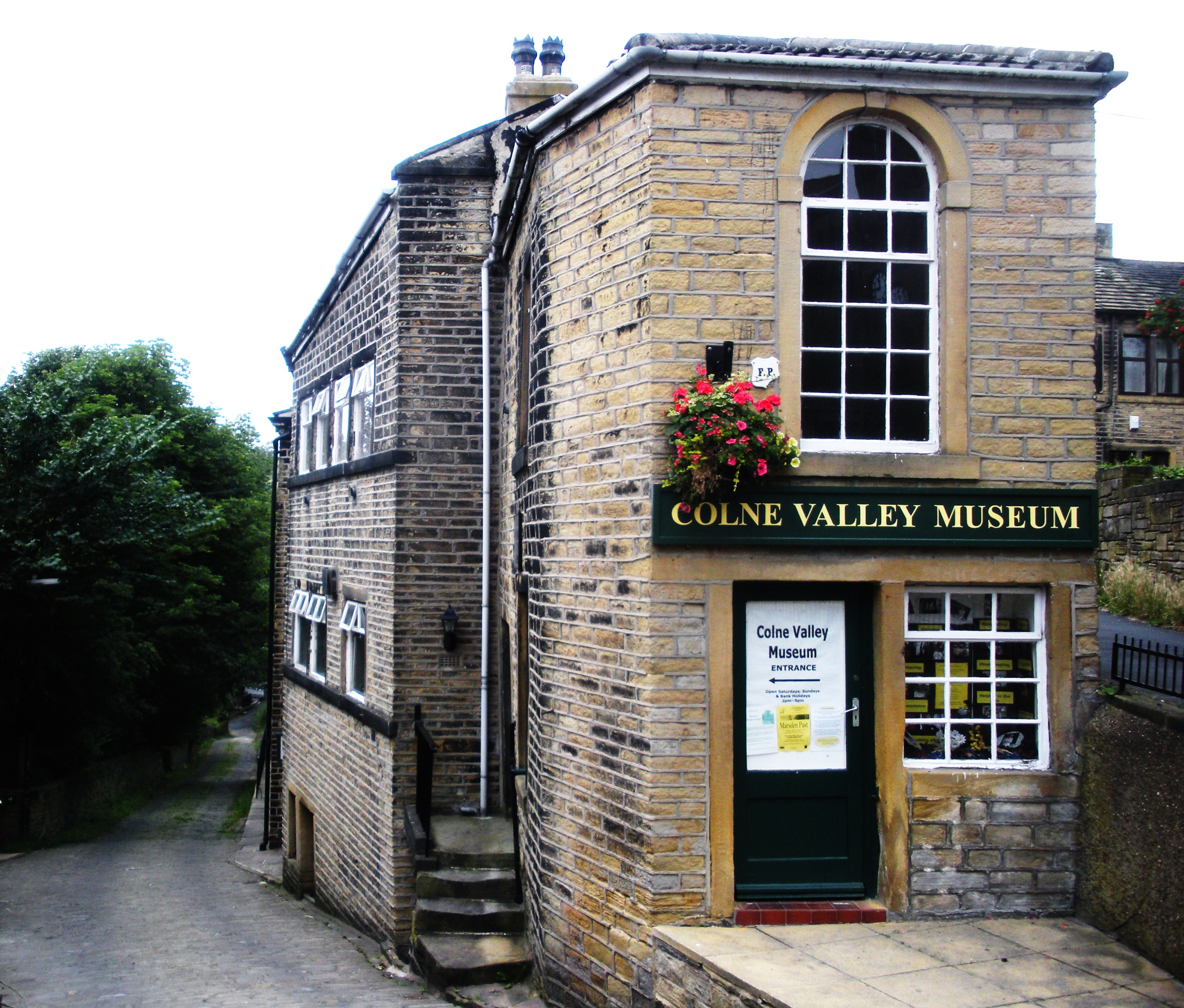
Colne Valley Museum

The Colne Valley Museum is located within the Colne Valley at Golcar, Huddersfield, West Yorkshire, England. The museum consists of four converted 19th...

Linthwaite

Linthwaite (known as Linfit in the local community) is a village in Kirklees, West Yorkshire, England. Historically part of the West Riding of Yorkshire...

Nearby Amenities

Located within 500m of 53.632168,-1.8556057
Seamark Type: gate
Waterway: lock_gate
Lat/Long: 53.6283002/-1.8571954
Seamark Type: gate
Waterway: lock_gate
Lat/Long: 53.6284001/-1.856866
Seamark Type: gate
Waterway: lock_gate
Lat/Long: 53.6302265/-1.8540092
Waterway: lock_gate
Lat/Long: 53.6319884/-1.8517523
Waterway: lock_gate
Lat/Long: 53.6321228/-1.851464
Bus Stop
Created By: Potlatch 0.10b
Lat/Long: 53.6353909/-1.8584085
Bus Stop
Created By: Potlatch 0.10b
Lat/Long: 53.635452/-1.858254
Bus Stop
Linthwaite, Manchester Road / adjacent Royds Avenue
Bus: yes
Local Ref: 45021707
Naptan AtcoCode: 450021707
Naptan Bearing: SW
Naptan CommonName: Manchester Road Royds Avenue
Naptan Crossing: Royds Avenue
Naptan Indicator: Stop 45021707
Naptan PlusbusZoneRef: LEEDS
Naptan ShortCommonName: Royds Avenue
Naptan Street: Manchester Road
Naptan Verified: no
Network: WY Metro
Operator: WY Metro
Public Transport: platform
Shelter: no
Source: naptan_import
Lat/Long: 53.6291034/-1.8503876
Bus Stop
Linthwaite, Manchester Road / opposite Royds Avenue
Bus: yes
Local Ref: 45021708
Naptan AtcoCode: 450021708
Naptan Bearing: NE
Naptan CommonName: Manchester Road Royds Avenue
Naptan Crossing: Royds Avenue
Naptan Indicator: Stop 45021708
Naptan Landmark: Royal Oak PH
Naptan PlusbusZoneRef: LEEDS
Naptan ShortCommonName: Royds Avenue
Naptan Street: Manchester Road
Naptan Verified: no
Network: WY Metro
Operator: WY Metro
Public Transport: platform
Shelter: no
Source: naptan_import
Lat/Long: 53.6295462/-1.8499579
Bus Stop
Radcliffe Road Wellhouse Fields
Bus: yes
Local Ref: 45021775
Naptan AtcoCode: 450021775
Naptan Bearing: SW
Naptan CommonName: Radcliffe Road Wellhouse Fields
Naptan Crossing: Nr-At Wellhouse Fields
Naptan Indicator: Stop 45021775
Naptan Landmark: Westwood House
Naptan PlusbusZoneRef: LEEDS
Naptan ShortCommonName: Westwood House
Naptan Street: Radcliffe Road
Naptan Verified: no
Public Transport: platform
Source: naptan_import
Lat/Long: 53.6304277/-1.860303
Bus Stop
Lower Wellhouse Road
Local Ref: 45021776
Naptan AtcoCode: 450021776
Naptan Bearing: SW
Naptan CommonName: Lower Wellhouse Road
Naptan Crossing: Lowestwood Lane
Naptan Indicator: Stop 45021776
Naptan Landmark: Wellhouse Junior & Infant School
Naptan PlusbusZoneRef: LEEDS
Naptan ShortCommonName: Lowest Wood Lane
Naptan Street: Radcliffe Road
Naptan Verified: no
Source: naptan_import
Lat/Long: 53.6324464/-1.8571205
Bus Stop
Share Hill Bank End Road
Local Ref: 45021777
Naptan AtcoCode: 450021777
Naptan Bearing: NW
Naptan CommonName: Share Hill Bank End Road
Naptan Crossing: Bank End Road
Naptan Indicator: Stop 45021777
Naptan PlusbusZoneRef: LEEDS
Naptan ShortCommonName: Lower Wellhouse Rd
Naptan Street: Share Hill
Naptan Verified: no
Source: naptan_import
Lat/Long: 53.635396/-1.8583356
Bus Stop
Station Road Fern Lea Grove
Local Ref: 45021932
Naptan AtcoCode: 450021932
Naptan Bearing: SW
Naptan CommonName: Station Road Fern Lea Grove
Naptan Crossing: Station Lane
Naptan Indicator: Stop 45021932
Naptan PlusbusZoneRef: LEEDS
Naptan ShortCommonName: Fern Lea Grove
Naptan Street: Station Road
Naptan Verified: no
Source: naptan_import
Lat/Long: 53.6348013/-1.8497171
Bus Stop
Radcliffe Road Lowestwood Lane
Local Ref: 45026527
Naptan AtcoCode: 450026527
Naptan Bearing: SW
Naptan CommonName: Radcliffe Road Lowestwood Lane
Naptan Crossing: Lowestwood Lane
Naptan Indicator: Stop 45026527
Naptan Landmark: Wellhouse Junior & Infant School
Naptan PlusbusZoneRef: LEEDS
Naptan ShortCommonName: Lowestwood Lane
Naptan Street: Radcliffe Road
Naptan Verified: no
Source: naptan_import
Lat/Long: 53.6323742/-1.8569091
Share Hill
Local Ref: 45051152
Naptan AtcoCode: 450051152
Naptan Bearing: SE
Naptan BusStopType: CUS
Naptan CommonName: Share Hill
Naptan Indicator: Stop 45051152
Naptan PlusbusZoneRef: LEEDS
Naptan ShortCommonName: Copley Bank
Naptan Street: Share Hill
Naptan Verified: no
Source: naptan_import
Lat/Long: 53.6354319/-1.8582599
Pub
The Royal Oak
Lat/Long: 53.6294114/-1.8503165
Recycling
Titanic Mill
Lat/Long: 53.6280932/-1.8537229
Seamark Type: gate
Waterway: lock_gate
Lat/Long: 53.630429/-1.8538218
Place Of Worship
Golcar Baptist Church
Denomination: baptist
Religion: christian
Lat/Long: 53.6356969/-1.8526877
Wellhouse
Place: hamlet
Source: local knowledge
Lat/Long: 53.6332216/-1.8564168
Barrier: stile
Bicycle: no
Foot: designated
Horse: no
Motor Vehicle: no
Stile: squeezer
Lat/Long: 53.6309588/-1.8609886
Barrier: stile
Bicycle: no
Foot: designated
Horse: no
Material: wood
Motor Vehicle: no
Stile: stepover
Lat/Long: 53.631195/-1.8602929
Barrier: stile
Bicycle: no
Foot: designated
Horse: no
Material: wood
Motor Vehicle: no
Stile: stepover
Lat/Long: 53.6322654/-1.8591353
Barrier: stile
Bicycle: no
Foot: designated
Horse: no
Motor Vehicle: no
Stile: squeezer
Lat/Long: 53.6307915/-1.8606031
Barrier: stile
Bicycle: no
Foot: designated
Horse: no
Source: bing, survey
Lat/Long: 53.6302271/-1.85703
Bench
Lat/Long: 53.6302635/-1.8538543
Information: board
Tourism: information
Lat/Long: 53.6284296/-1.8564721
Titanic Spa
Tourism: spa_resort
Lat/Long: 53.6285821/-1.8534963
Waste Basket
Lat/Long: 53.6281782/-1.8560457
Barrier: stile
Bicycle: no
Foot: designated
Horse: no
Material: wood
Motor Vehicle: no
Stile: stepover
Lat/Long: 53.635189/-1.8571489
Barrier: stile
Bicycle: no
Description: overgrown and in poor repair
Foot: designated
Horse: no
Material: wood
Motor Vehicle: no
Stile: stepover
Lat/Long: 53.6307108/-1.8604887
Barrier: stile
Bicycle: no
Foot: designated
Horse: no
Motor Vehicle: no
Stile: stepover
Lat/Long: 53.6328402/-1.8586828
Power: pole
Lat/Long: 53.6303663/-1.8619881
Power: pole
Lat/Long: 53.6304595/-1.8606556
The data included in this document is from www.openstreetmap.org. The data is made available under ODbL.

Have you been to Lower Wellhouse?

Leave your review of Lower Wellhouse below (or comments, questions and feedback).