Airies Mill Hill
Hill, Mountain in Wigtownshire
Scotland
Airies Mill Hill
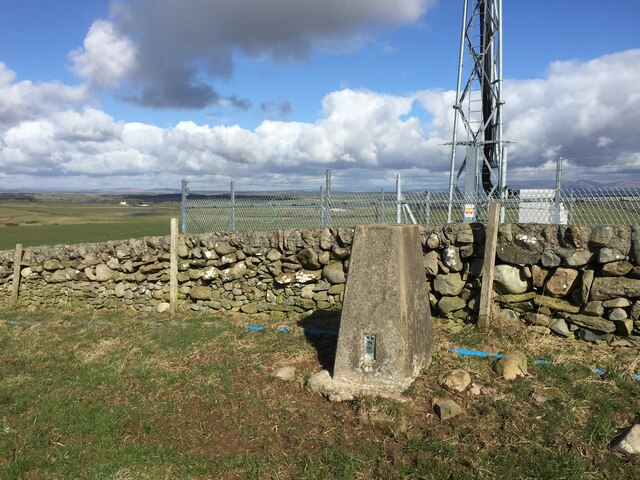
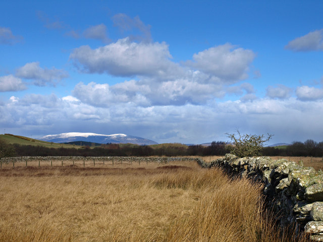
Aries Mill Hill, located in Wigtownshire, Scotland, is a prominent hill/mountain that offers breathtaking views and outdoor adventures for nature enthusiasts. Standing at an elevation of approximately 256 meters (840 feet), it is a notable landmark in the region.
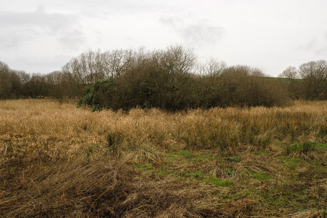
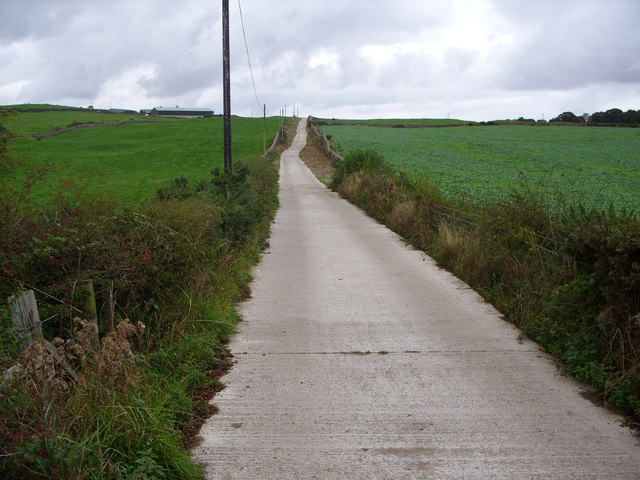
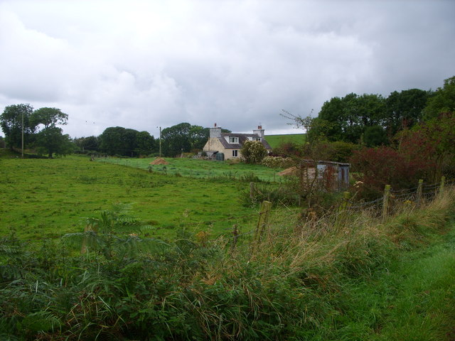
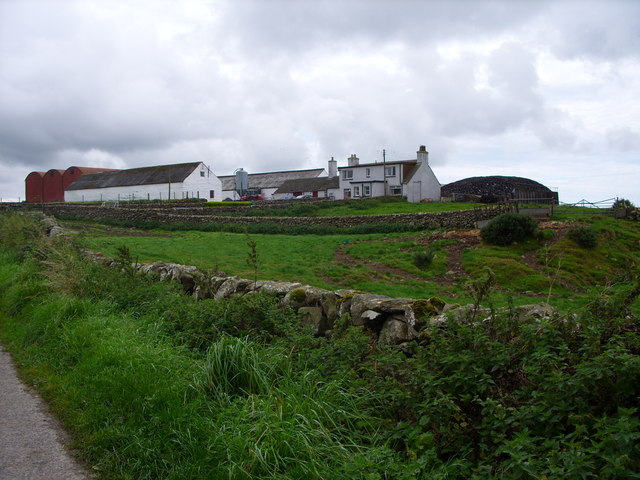
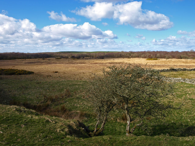
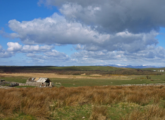
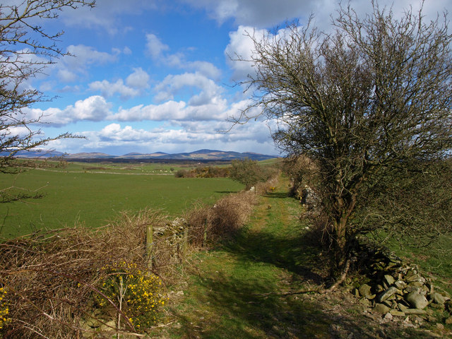
The hill is encompassed by lush greenery and is a part of the extensive Galloway Forest Park, renowned for its natural beauty and diverse wildlife. Aries Mill Hill is particularly popular among hikers, walkers, and mountaineers who seek a challenging yet rewarding ascent. The hill provides various trails and paths that cater to different skill levels, ensuring there is something for everyone.
As one embarks on the ascent, they are greeted with stunning panoramas of the surrounding countryside, including picturesque views of Loch Ryan and the Irish Sea. On clear days, it is even possible to catch a glimpse of the Isle of Man, which lies across the sea.
In addition to its natural beauty, Aries Mill Hill also holds historical significance. The remnants of an ancient fort, believed to have been constructed during the Iron Age, can be found near the summit. This adds an element of intrigue and fascination for history enthusiasts, as they imagine what life was like for the people who once inhabited these lands.
Overall, Aries Mill Hill in Wigtownshire provides a serene and adventurous escape for those seeking to connect with nature and revel in the captivating landscapes that Scotland has to offer.
If you have any feedback on the listing, please let us know in the comments section below.
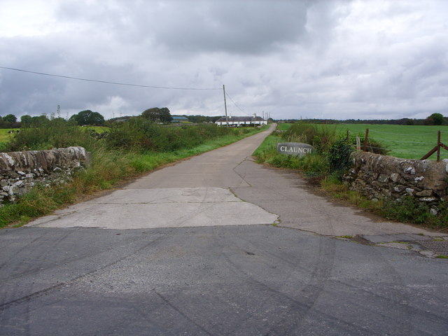
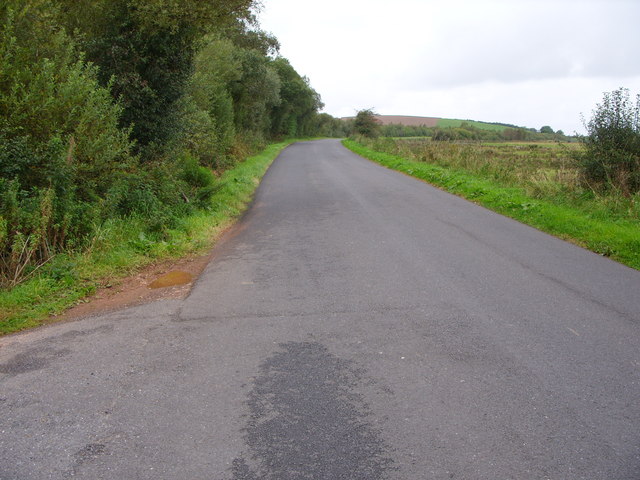
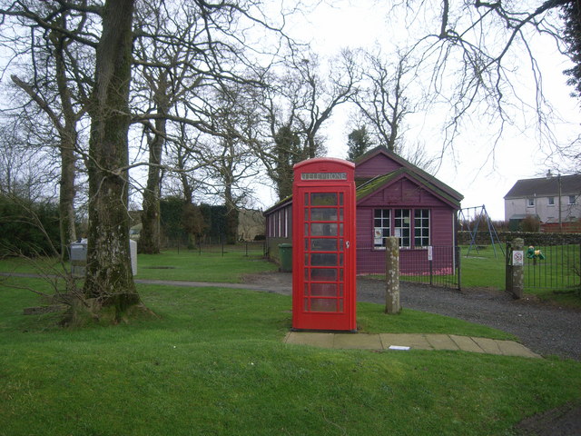
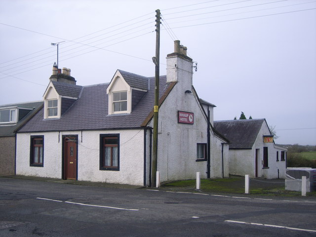
Airies Mill Hill Images
Images are sourced within 2km of 54.801834/-4.4746792 or Grid Reference NX4148. Thanks to Geograph Open Source API. All images are credited.


Airies Mill Hill is located at Grid Ref: NX4148 (Lat: 54.801834, Lng: -4.4746792)
Unitary Authority: Dumfries and Galloway
Police Authority: Dumfries and Galloway
What 3 Words
///operation.holidays.large. Near Whithorn, Dumfries & Galloway
Nearby Locations
Related Wikis

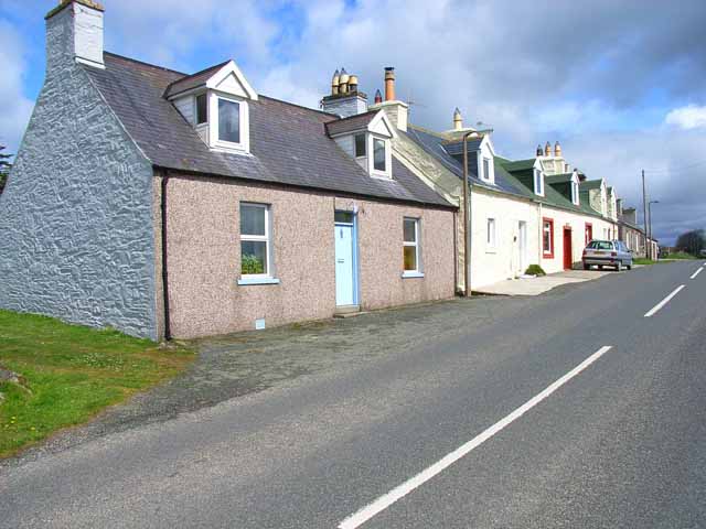
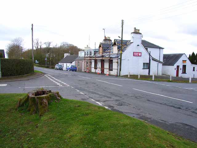
Whauphill
Whauphill is a small village located in the historical county of Wigtownshire in the Machars, Dumfries and Galloway, Scotland.Whauphill is a hub that supports...

Whauphill railway station
Whauphill (NX 40462 49887) was a railway station on the Wigtownshire Railway branch line, from Newton Stewart to Whithorn, of the Portpatrick and Wigtownshire...
Kirkinner
Kirkinner (Scottish Gaelic: Cille Chainneir, IPA: [ˈkʲʰiʎə ˈxaɲɪɾʲ]) is a village in the Machars, in the historical county of Wigtownshire in Dumfries...

Sorbie railway station
Sorbie (NX4351447562) was a railway station that was located close to the village of Sorbie on the then Wigtownshire Railway branch line to Whithorn, from...
Sorbie
Sorbie (Scottish Gaelic: Soirbidh) is a small village in Wigtownshire, Machars, within the Administration area of Dumfries and Galloway Council, Scotland...

Kirkinner railway station
Kirkinner was a railway station on the Wigtownshire Railway branch line, from Newton Stewart to Whithorn, of the Portpatrick and Wigtownshire Joint Railway...

Sorbie Tower
Sorbie Tower is a fortified tower house 1 mile east of the village of Sorbie, Dumfries and Galloway, Scotland. The ancient seat of the Clan Hannay, it...
Mochrum
Mochrum () is a coastal civil and Church of Scotland parish situated to the east of Luce Bay on the Machars peninsula and 8 miles (13 km) southwest of...
Nearby Amenities
Located within 500m of 54.801834,-4.4746792Have you been to Airies Mill Hill?
Leave your review of Airies Mill Hill below (or comments, questions and feedback).