Little Airies Hill

Hill, Mountain in Wigtownshire

Scotland

Little Airies Hill

Knockefferick Trig Point Flush Bracket S8231
Knockefferick Trig Point Flush Bracket S8231 Credit: thejackrustles

Little Airies Hill is a prominent hill located in the region of Wigtownshire, Scotland. It is situated approximately 3 miles northwest of the village of Kirkcowan and about 6 miles southeast of the town of Newton Stewart. Rising to an elevation of 381 meters (1,250 feet), it is considered one of the most notable hills in the area.

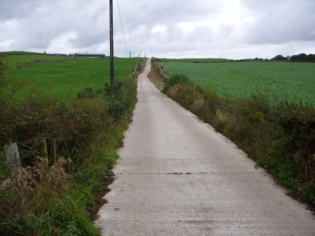
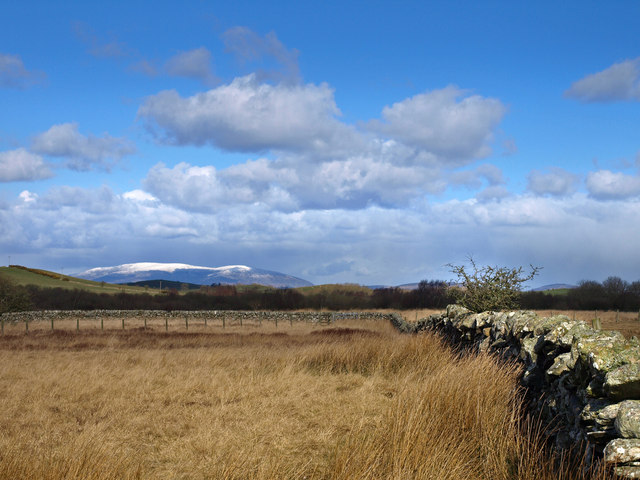
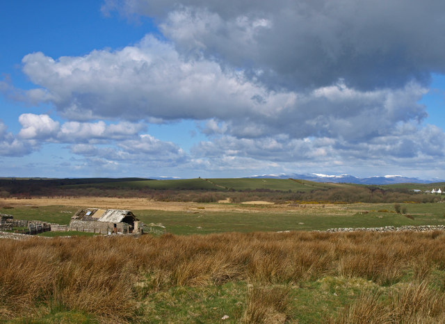
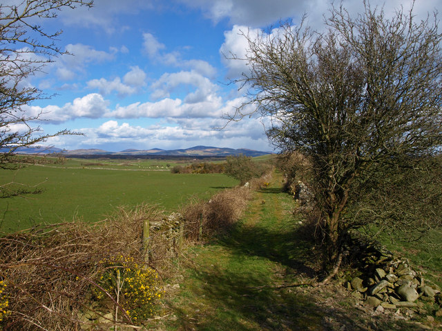
The hill offers breathtaking panoramic views of the surrounding countryside, including the rolling hills, lush green farmlands, and distant glimpses of the Irish Sea. Its location within the Galloway Forest Park, the largest forested area in the United Kingdom, adds to its natural beauty and allure.

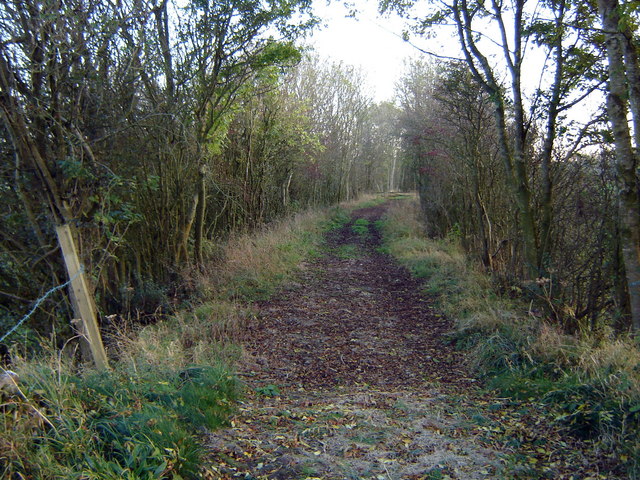
Little Airies Hill is a popular hiking and walking destination for outdoor enthusiasts, attracting visitors from both near and far. There are several well-maintained trails that lead to the summit, making it accessible for people of varying fitness levels. The path to the top is moderate in difficulty, with some steeper sections, but the effort is rewarded with stunning vistas from the peak.

The hill is also home to a diverse range of flora and fauna, providing a habitat for various plant species and wildlife. Birdwatchers may spot a variety of birds, including buzzards, kestrels, and peregrine falcons soaring above the hill.

Overall, Little Airies Hill is a must-visit destination for those seeking natural beauty, tranquility, and an opportunity to connect with the Scottish countryside.

If you have any feedback on the listing, please let us know in the comments section below.

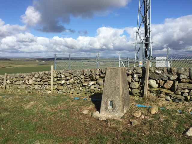
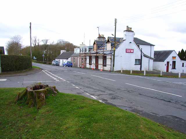
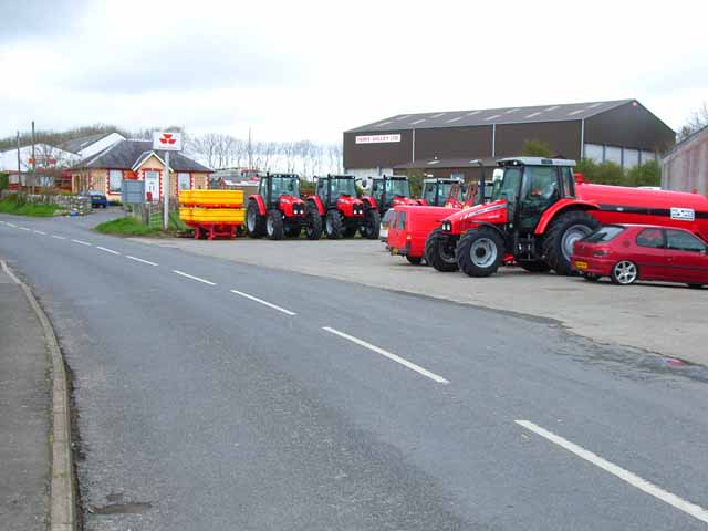
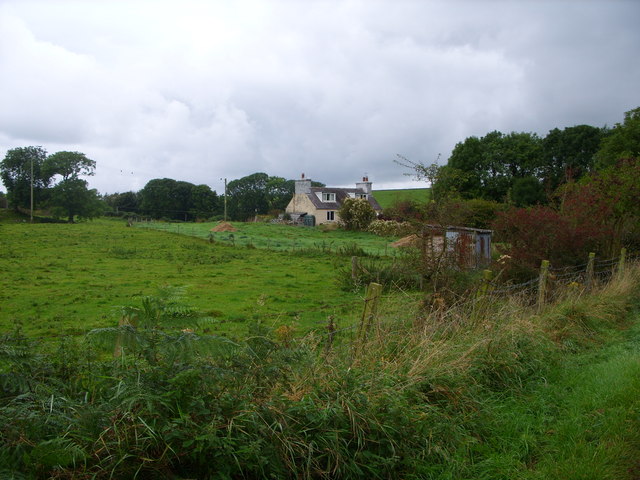
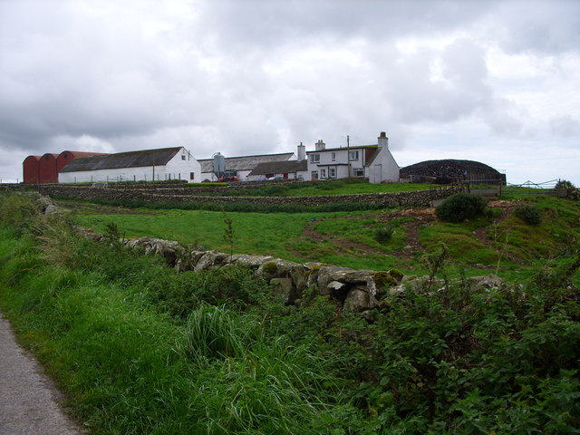
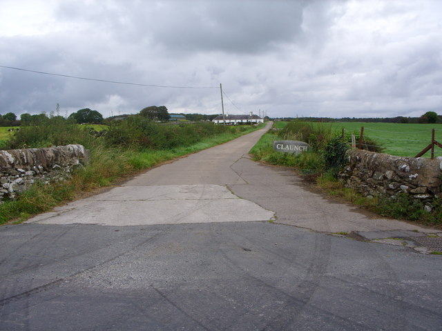
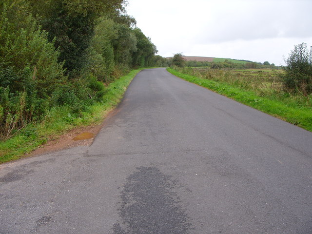
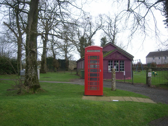
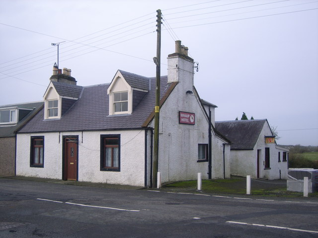
Little Airies Hill Images

Images are sourced within 2km of 54.804026/-4.4659277 or Grid Reference NX4148. Thanks to Geograph Open Source API. All images are credited.

Knockefferick Trig Point Flush Bracket S8231
Old milestone Southwestwards into the village centre where the B7052 forms a crossroads with the B7085.
Old milestone
Southwestwards into the village centre where the B7052 forms a crossroads with the B7085.
Whaup Hotel At the time of this photo, this pub in the centre of the tiny village of Whauphill was undergoing a face lift, following the death of the landlord. It has subsequently reopened as a pub and restaurant with an lively music programme; customers are active in fund-raising for cancer research. <span class="nowrap"><a title="http://www.whauphotel.co.uk" rel="nofollow ugc noopener" href="http://www.whauphotel.co.uk">Link</a><img style="margin-left:2px;" alt="External link" title="External link - shift click to open in new window" src="https://s1.geograph.org.uk/img/external.png" width="10" height="10"/></span>
Whaup Hotel
At the time of this photo, this pub in the centre of the tiny village of Whauphill was undergoing a face lift, following the death of the landlord. It has subsequently reopened as a pub and restaurant with an lively music programme; customers are active in fund-raising for cancer research. LinkExternal link
Agricultural engineers at Whauphill
Knockeffrick Farm Road
Stonehouse Cottage
Stonehouse Cottage
Doonhill  Farm
Doonhill Farm
Claunch Farm Road
Claunch Farm Road
The B7052 at Airies Hill Plantation
Telephone Box & purple village hall
The Whaup Hotel This looked a bit closed to me when I wanted to visit!
The Whaup Hotel
This looked a bit closed to me when I wanted to visit!
The site of Dowalton Loch Dowalton Loch was formerly the largest loch in the southern Machars. In 1863 it was drained by the landowner, hoping to increase the area of arable land (although the bed of the loch subsequently proved to be too rocky for cultivation). At least 10 crannogs were revealed as the water level dropped and some of these were excavated, producing a variety of iron age artifacts. Today the site is mostly marshland or birch/willow scrub which provides a valuable wildlife habitat, and the area is a nature reserve under the care of the Scottish Wildlife Trust.
The site of Dowalton Loch
Dowalton Loch was formerly the largest loch in the southern Machars. In 1863 it was drained by the landowner, hoping to increase the area of arable land (although the bed of the loch subsequently proved to be too rocky for cultivation). At least 10 crannogs were revealed as the water level dropped and some of these were excavated, producing a variety of iron age artifacts. Today the site is mostly marshland or birch/willow scrub which provides a valuable wildlife habitat, and the area is a nature reserve under the care of the Scottish Wildlife Trust.
The site of Dowalton Loch Looking north. See <a href="https://www.geograph.org.uk/photo/736023">NX4046 : The site of Dowalton Loch</a> for the history of Dowalton Loch. Also see <span class="nowrap"><a title="http://www.wildlifetrust.org.uk/scottish/www/d&g/dowalton.htm" rel="nofollow ugc noopener" href="http://www.wildlifetrust.org.uk/scottish/www/d&g/dowalton.htm">Link</a><img style="margin-left:2px;" alt="External link" title="External link - shift click to open in new window" src="https://s1.geograph.org.uk/img/external.png" width="10" height="10"/></span>
The site of Dowalton Loch
Looking north. See NX4046 : The site of Dowalton Loch for the history of Dowalton Loch. Also see LinkExternal link
Lane near Culnoag The view is northeast towards the hills above Creetown on the far side of Wigtown Bay.
Lane near Culnoag
The view is northeast towards the hills above Creetown on the far side of Wigtown Bay.
Sheep pasture near Culnoag Culnoag farm (in NX4247) is just visible amongst the trees.
Sheep pasture near Culnoag
Culnoag farm (in NX4247) is just visible amongst the trees.
Site of Dowalton Loch Looking to Cairnsmore of Fleet.
Site of Dowalton Loch
Looking to Cairnsmore of Fleet.
Lane near Doonhill Cottages
Farm track near Doonhill Cottages
Show me another place!

Little Airies Hill is located at Grid Ref: NX4148 (Lat: 54.804026, Lng: -4.4659277)

Unitary Authority: Dumfries and Galloway

Police Authority: Dumfries and Galloway

What 3 Words

///sums.torch.winemaker. Near Whithorn, Dumfries & Galloway

Related Wikis

Whauphill

Whauphill is a small village located in the historical county of Wigtownshire in the Machars, Dumfries and Galloway, Scotland.Whauphill is a hub that supports...

Kirkinner

Kirkinner (Scottish Gaelic: Cille Chainneir, IPA: [ˈkʲʰiʎə ˈxaɲɪɾʲ]) is a village in the Machars, in the historical county of Wigtownshire in Dumfries...

Whauphill railway station

Whauphill (NX 40462 49887) was a railway station on the Wigtownshire Railway branch line, from Newton Stewart to Whithorn, of the Portpatrick and Wigtownshire...

Sorbie railway station

Sorbie (NX4351447562) was a railway station that was located close to the village of Sorbie on the then Wigtownshire Railway branch line to Whithorn, from...

Sorbie

Sorbie (Scottish Gaelic: Soirbidh) is a small village in Wigtownshire, Machars, within the Administration area of Dumfries and Galloway Council, Scotland...

Kirkinner railway station

Kirkinner was a railway station on the Wigtownshire Railway branch line, from Newton Stewart to Whithorn, of the Portpatrick and Wigtownshire Joint Railway...

Sorbie Tower

Sorbie Tower is a fortified tower house 1 mile east of the village of Sorbie, Dumfries and Galloway, Scotland. The ancient seat of the Clan Hannay, it...

Millisle railway station

Millisle, later Millisle for Garlieston was a railway station that was near the junction for Garlieston on the Wigtownshire Railway branch line, from Newton...

Nearby Amenities

Located within 500m of 54.804026,-4.4659277
Power: pole
Lat/Long: 54.8034458/-4.4582392
Mill Hill
Natural: peak
Lat/Long: 54.7999813/-4.4676026
Airies Mill Hill
Natural: peak
Lat/Long: 54.8027098/-4.4727481
Little Airies Hill
Natural: peak
Lat/Long: 54.8048853/-4.4661284
Sanquhar Hill
Natural: peak
Lat/Long: 54.8005115/-4.4615288
Power: pole
Lat/Long: 54.8080773/-4.4633519
Power: pole
Lat/Long: 54.8074037/-4.4634906
Power: pole
Lat/Long: 54.8067274/-4.4636482
Power: pole
Lat/Long: 54.8059765/-4.4638175
Power: pole
Lat/Long: 54.8051971/-4.4639962
Power: pole
Lat/Long: 54.8045343/-4.464135
Power: pole
Lat/Long: 54.8038539/-4.4643043
Power: pole
Lat/Long: 54.8031625/-4.4644572
Power: pole
Lat/Long: 54.8026231/-4.4646806
Power: pole
Lat/Long: 54.8020537/-4.4649205
Power: pole
Lat/Long: 54.8013/-4.4652685
Power: pole
Lat/Long: 54.8005152/-4.4656166
Power: pole
Lat/Long: 54.7998441/-4.4659082
Power: pole
Lat/Long: 54.8067409/-4.4639174
Power: pole
Lat/Long: 54.806787/-4.465185
Power: pole
Lat/Long: 54.8068358/-4.4665185
Power: pole
Lat/Long: 54.8068914/-4.4677414
Power: pole
Lat/Long: 54.8069442/-4.4690771
The data included in this document is from www.openstreetmap.org. The data is made available under ODbL.

Have you been to Little Airies Hill?

Leave your review of Little Airies Hill below (or comments, questions and feedback).