Cnoc an Taigh Mhòir

Hill, Mountain in Inverness-shire

Scotland

Cnoc an Taigh Mhòir

River Farrar at Struy
River Farrar at Struy Credit: Mike Pennington

Cnoc an Taigh Mhòir, located in Inverness-shire, Scotland, is a prominent hill/mountain that stands at an elevation of approximately 559 meters (1834 feet). Situated in the magnificent Scottish Highlands, this natural landmark offers breathtaking views and is a popular destination for outdoor enthusiasts and nature lovers.

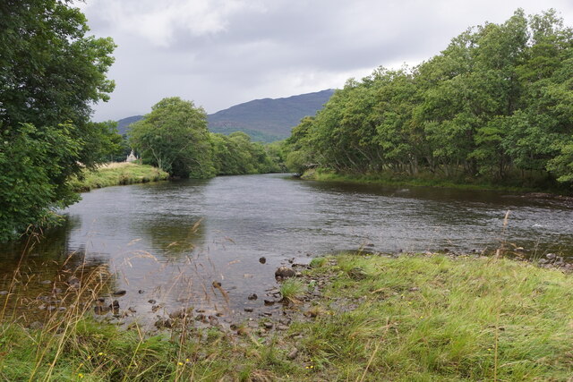
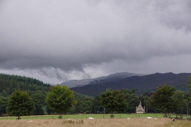
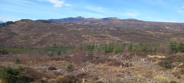
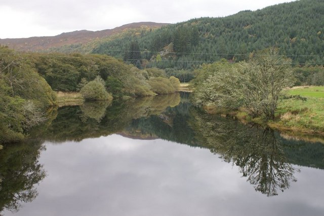
The hill/mountain is characterized by its distinct shape, featuring a rounded summit and gentle slopes covered in heather and grasses. Its geological composition consists of rugged granite and schist formations, which add to its scenic beauty. Cnoc an Taigh Mhòir is part of a larger mountain range, and its location offers panoramic vistas of the surrounding landscape, including nearby lochs, glens, and the meandering River Oich.

The area surrounding Cnoc an Taigh Mhòir is rich in flora and fauna, with a variety of plant species, including heather, mosses, and wildflowers, adorning the slopes. The hill/mountain is also home to several bird species, such as golden eagles and peregrine falcons, making it a haven for birdwatching enthusiasts.

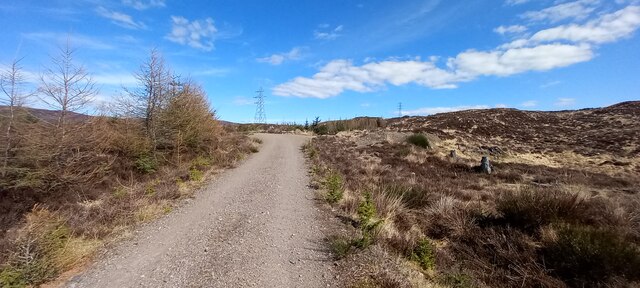
Access to Cnoc an Taigh Mhòir is relatively straightforward, with well-marked trails and paths leading to the summit. Hikers and climbers can enjoy a range of routes catering to different abilities and preferences. The hill/mountain offers both challenging terrain for experienced mountaineers and more leisurely walks for those seeking a relaxed exploration of the Scottish Highlands.

Overall, Cnoc an Taigh Mhòir is a remarkable natural feature in Inverness-shire, offering visitors an opportunity to immerse themselves in the stunning beauty of the Scottish Highlands while enjoying a range of outdoor activities.

If you have any feedback on the listing, please let us know in the comments section below.

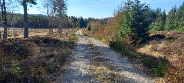
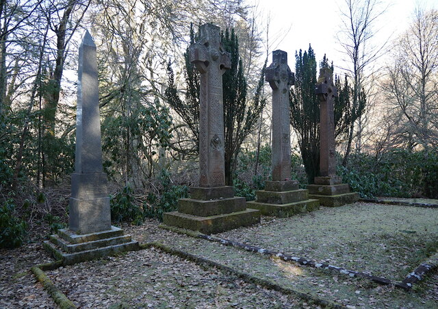
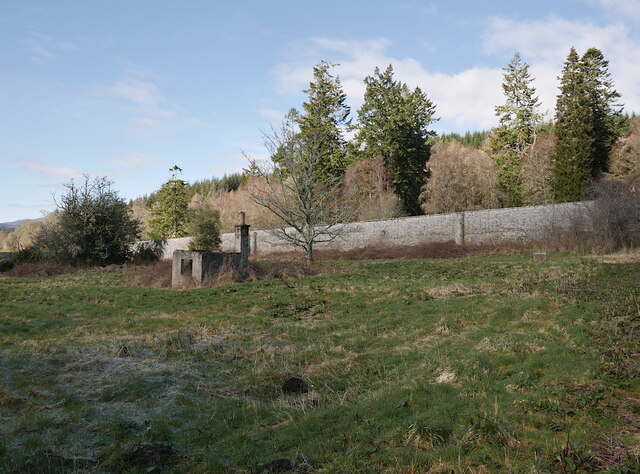
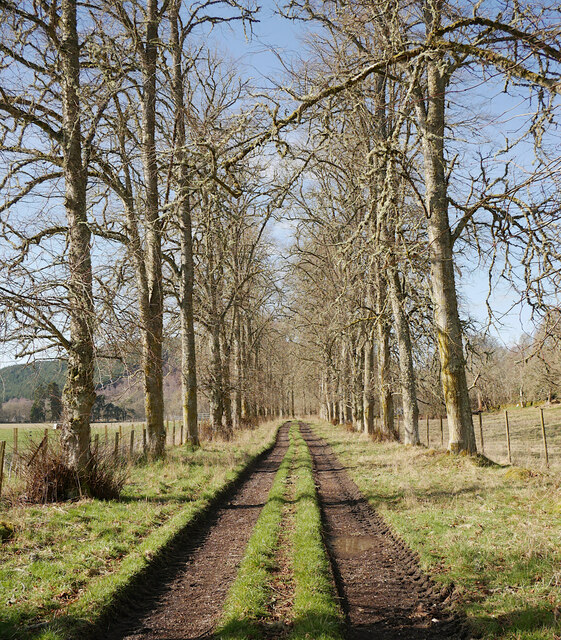
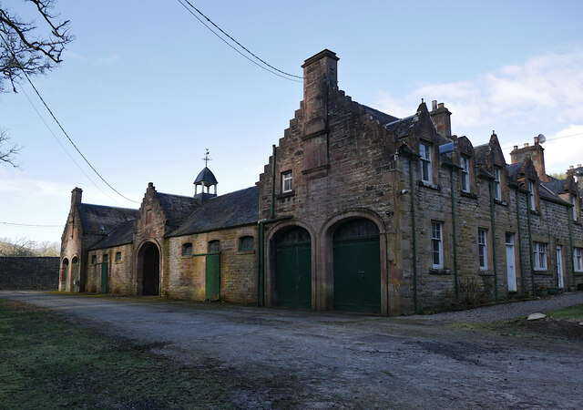
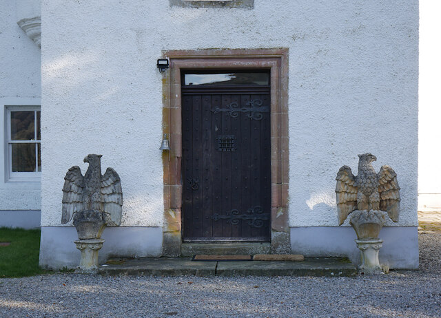
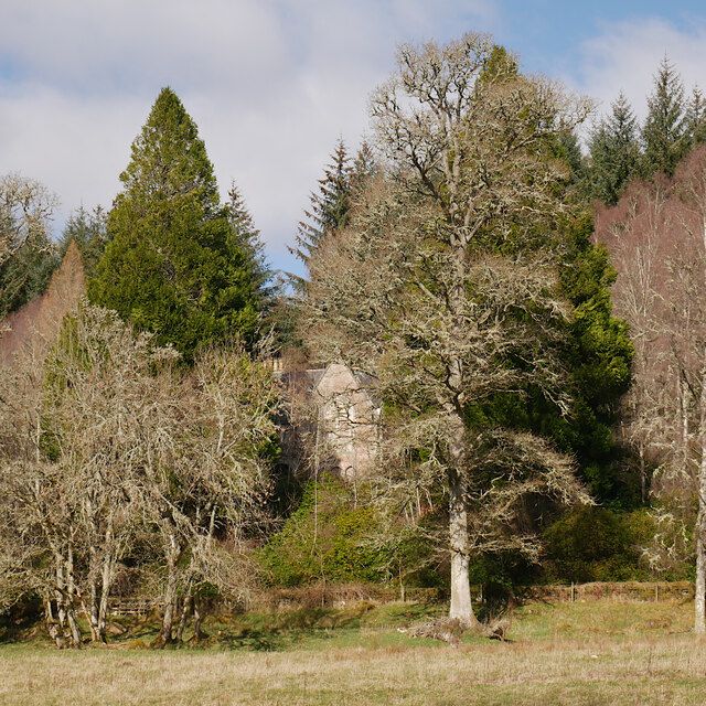
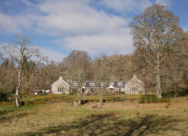
Cnoc an Taigh Mhòir Images

Images are sourced within 2km of 57.432112/-4.649346 or Grid Reference NH4141. Thanks to Geograph Open Source API. All images are credited.

River Farrar at Struy
Struy kirk Looking up Glen Strathfarrar.
Struy kirk
Looking up Glen Strathfarrar.
Coille nan Uaighean A large felled area above the A831.
Coille nan Uaighean
A large felled area above the A831.
Flooded woodland near the River Beauly
Erchless Forest from the track north of Erchless Castle
Track into Erchless Forest
Chisholm cemetery, Erchless The graves of the chiefs of Clan Chisholm, Celtic crosses and a granite obelisk.

The cemetery is a Category C listed building. <span class="nowrap"><a title="https://portal.historicenvironment.scot/designation/LB8103" rel="nofollow ugc noopener" href="https://portal.historicenvironment.scot/designation/LB8103">Link</a><img style="margin-left:2px;" alt="External link" title="External link - shift click to open in new window" src="https://s1.geograph.org.uk/img/external.png" width="10" height="10"/></span>
Chisholm cemetery, Erchless
The graves of the chiefs of Clan Chisholm, Celtic crosses and a granite obelisk. The cemetery is a Category C listed building. LinkExternal link
Walled garden, Erchless Inside the walled garden. A large area, now abandoned and overgrown.
The small brick building would have provided heating for the greenhouses.

The walled garden is Category B listed. <span class="nowrap"><a title="https://portal.historicenvironment.scot/designation/LB8102" rel="nofollow ugc noopener" href="https://portal.historicenvironment.scot/designation/LB8102">Link</a><img style="margin-left:2px;" alt="External link" title="External link - shift click to open in new window" src="https://s1.geograph.org.uk/img/external.png" width="10" height="10"/></span>
Walled garden, Erchless
Inside the walled garden. A large area, now abandoned and overgrown. The small brick building would have provided heating for the greenhouses. The walled garden is Category B listed. LinkExternal link
Erchless avenue The west drive from Erchless Castle towards Struy Bridge. A tree-lined track.
Erchless avenue
The west drive from Erchless Castle towards Struy Bridge. A tree-lined track.
Stable and steading, Erchless castle A large square building, including stables, a carriage house and a row of houses. It dates from circa 1815, and is Category B listed. <span class="nowrap"><a title="https://portal.historicenvironment.scot/designation/LB8101" rel="nofollow ugc noopener" href="https://portal.historicenvironment.scot/designation/LB8101">Link</a><img style="margin-left:2px;" alt="External link" title="External link - shift click to open in new window" src="https://s1.geograph.org.uk/img/external.png" width="10" height="10"/></span>
Stable and steading, Erchless castle
A large square building, including stables, a carriage house and a row of houses. It dates from circa 1815, and is Category B listed. LinkExternal link
Cupola and weather vane, on the steading A close look at the cupola and weather vane, above the archway into the courtyard.
See a wider view. <a href="https://www.geograph.org.uk/photo/7465165">NH4140 : Stable and steading, Erchless castle</a>
Cupola and weather vane, on the steading
A close look at the cupola and weather vane, above the archway into the courtyard. See a wider view. NH4140 : Stable and steading, Erchless castle
Erchless Castle The east elevation of the castle.
Erchless Castle
The east elevation of the castle.
Erchless Castle The south elevation of the castle, with the main entrance.
Erchless Castle
The south elevation of the castle, with the main entrance.
Entrance, Erchless Castle A close look at the main door, flanked by a pair of stone eagles.
Entrance, Erchless Castle
A close look at the main door, flanked by a pair of stone eagles.
View of the old manse, Erchless The old manse has been abandoned for a number of years, and is now hidden amongst the trees.
View of the old manse, Erchless
The old manse has been abandoned for a number of years, and is now hidden amongst the trees.
Cnoc Hotel, Struy Dating from the 1850s, this building was originally the Erchless estate office and estate workers cottages. It was converted to a hotel in 1971.
Cnoc Hotel, Struy
Dating from the 1850s, this building was originally the Erchless estate office and estate workers cottages. It was converted to a hotel in 1971.
Struy Bridge, over the River Farrar Struy Bridge carries the A831 road over the River Farrar. It dates from the early 19th century, and was designed by Thomas Telford. It is a 5-span coursed rubble bridge. 

It is a Category B listed building. <span class="nowrap"><a title="https://portal.historic-scotland.gov.uk/designation/LB8086" rel="nofollow ugc noopener" href="https://portal.historic-scotland.gov.uk/designation/LB8086">Link</a><img style="margin-left:2px;" alt="External link" title="External link - shift click to open in new window" src="https://s1.geograph.org.uk/img/external.png" width="10" height="10"/></span>

A view from the other direction. <a href="https://www.geograph.org.uk/photo/4947300">NH4040 : Struy Bridge, over the River Farrar</a>
Struy Bridge, over the River Farrar
Struy Bridge carries the A831 road over the River Farrar. It dates from the early 19th century, and was designed by Thomas Telford. It is a 5-span coursed rubble bridge. It is a Category B listed building. LinkExternal link A view from the other direction. NH4040 : Struy Bridge, over the River Farrar
Show me another place!

Cnoc an Taigh Mhòir is located at Grid Ref: NH4141 (Lat: 57.432112, Lng: -4.649346)

Unitary Authority: Highland

Police Authority: Highlands and Islands

What 3 Words

///nooks.waxes.chiefs. Near Cannich, Highland

Nearby Locations

Cnoc an Taigh Mhòir

Related Wikis

Struy

Struy (Scottish Gaelic: An t-Srùigh or Scottish Gaelic: Sruidh) is a small village at the end of Glen Strathfarrar, about 15 km south-west of Beauly in...

River Beauly

The River Beauly (Scottish Gaelic: Abhainn nam Manach, pronounced [ˈavɪɲ nə ˈmanəx]) is a river in the Scottish Highlands, about 15 km west of the city...

Inchmore, Strathfarrar

Inchmore is a small hamlet at the foot of Glen Strathfarrar, in Inverness-shire in the Scottish Highlands of Scotland. It is situated 1 km (0.62 mi) north...

River Glass, Strathglass

The River Glass (Scottish Gaelic: Abhainn Ghlais) is a river in the Scottish Highlands which flows northeastwards down Strathglass. It begins at the confluence...

Eskadale

Eskadale (Scottish Gaelic: Eisgeadal) is a small hamlet in the Highland council area of Scotland. It is situated on the south bank of the River Beauly...

Aigas Field Centre

Aigas Field Centre is a nature centre based at the home of naturalist and author Sir John Lister-Kaye, House of Aigas. The centre was opened in 1977 by...

Aigas

Aigas (Scottish Gaelic: Àigeis, meaning "Place of the Gap") is a small hamlet in the Highland Council area of Scotland. It is 5 miles (8 km) southwest...

Beinn a' Bhathaich Àrd

Beinn a' Bhathaich Àrd is mountain on the northern side of Glen Strathfarrar, in the Highlands of Scotland. It is situated at the eastern end of the glen...

Nearby Amenities

Located within 500m of 57.432112,-4.649346
Power: tower
Lat/Long: 57.4335891/-4.6498998
Power: tower
Lat/Long: 57.4334728/-4.6558073
Power: tower
Lat/Long: 57.4350323/-4.6474738
Power: pole
Lat/Long: 57.4317746/-4.6410142
The data included in this document is from www.openstreetmap.org. The data is made available under ODbL.

Have you been to Cnoc an Taigh Mhòir?

Leave your review of Cnoc an Taigh Mhòir below (or comments, questions and feedback).