Barr Hill

Hill, Mountain in Renfrewshire

Scotland

Barr Hill

National Cycle Network Route 7 Between Kilbarchan and Lochwinnoch.
National Cycle Network Route 7 Credit: Thomas Nugent

Barr Hill is a prominent hill located in Renfrewshire, Scotland. Situated in the southern part of the county, it offers breathtaking views and stands at an elevation of approximately 336 meters (1,102 feet). This makes it a popular destination for hikers, nature enthusiasts, and those seeking a tranquil escape.

The hill is part of the wider Clyde Muirshiel Regional Park, which spans across several local authorities and offers a diverse range of landscapes and wildlife. Barr Hill itself is characterized by its gently sloping grassy terrain, interspersed with patches of heather, bracken, and native shrubs. Its summit is marked by a trig point, providing a focal point for visitors to orient themselves and take in the stunning panoramic vistas.

From the top of Barr Hill, on a clear day, one can enjoy sweeping views of the surrounding countryside, including the rolling hills of Renfrewshire, the Clyde Estuary, and even the distant peaks of the Argyllshire hills to the west. The hill is particularly renowned for its picturesque sunsets, casting a warm glow over the landscape.

Access to Barr Hill is relatively easy, with well-maintained footpaths leading from nearby villages and towns. The hill is also a popular spot for paragliding and kite flying, taking advantage of the steady winds that often sweep across its slopes.

Overall, Barr Hill is a delightful natural feature of Renfrewshire, offering visitors a chance to immerse themselves in the beauty of the Scottish countryside while enjoying breathtaking views and outdoor activities.

If you have any feedback on the listing, please let us know in the comments section below.
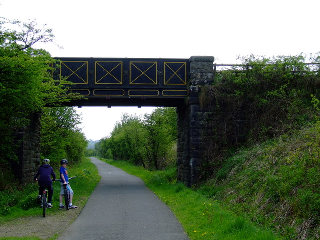
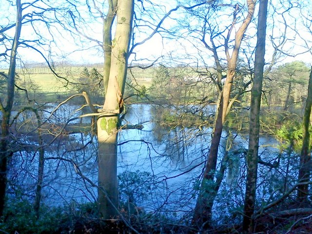
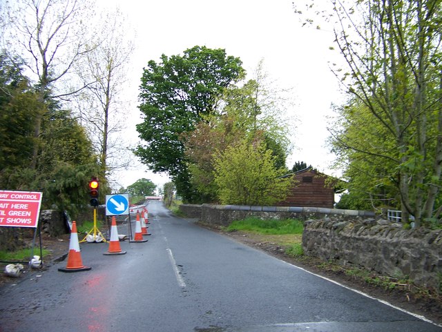
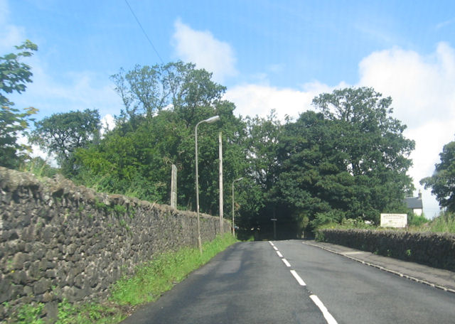
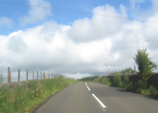
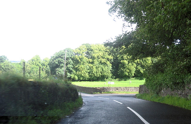
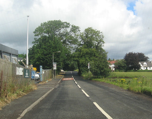
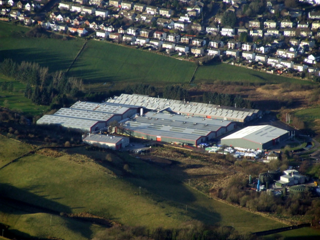
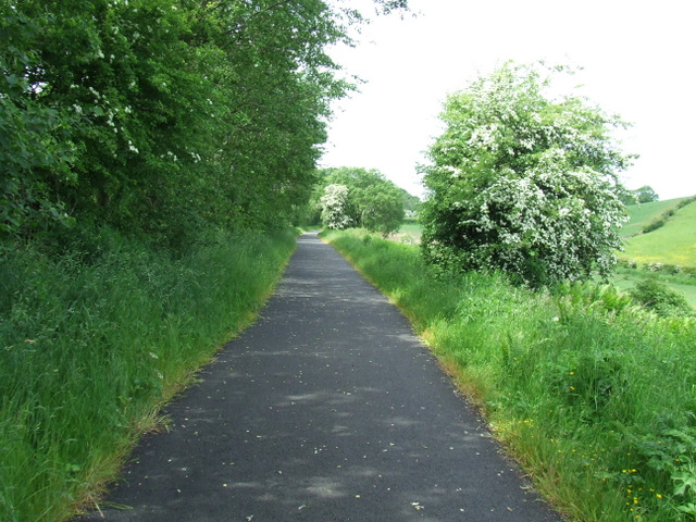
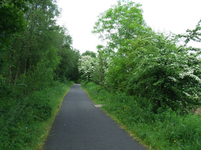
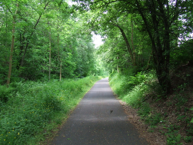
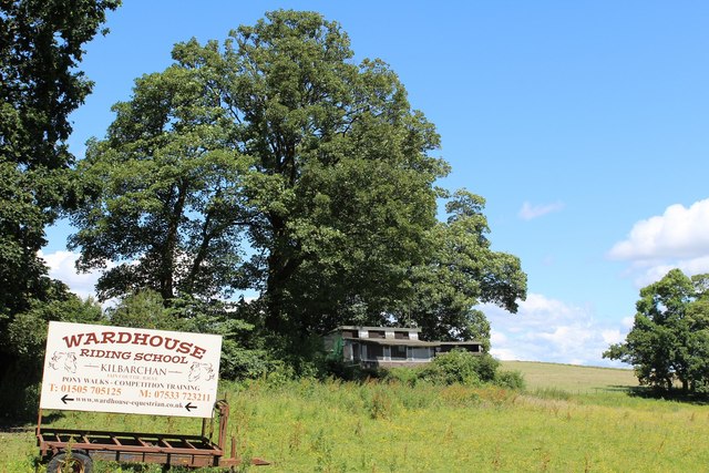
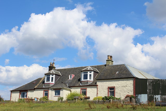
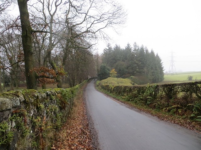
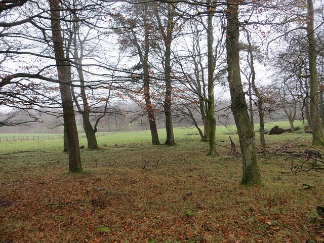
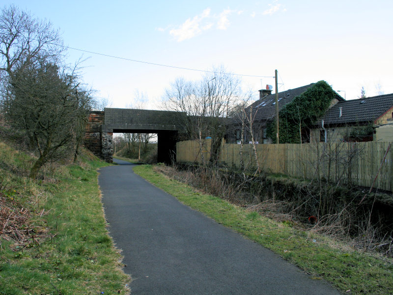
Barr Hill Images

Images are sourced within 2km of 55.839529/-4.5437361 or Grid Reference NS4063. Thanks to Geograph Open Source API. All images are credited.

National Cycle Network Route 7 Between Kilbarchan and Lochwinnoch.
National Cycle Network Route 7
Between Kilbarchan and Lochwinnoch.
JL. Smith Construction, Kilbarchan Road
Glentyan House lake, Kilbarchan Taken from road above.
Glentyan House lake, Kilbarchan
Taken from road above.
House on Kilbarchan Road On the outskirts of Bridge of Weir.
House on Kilbarchan Road
On the outskirts of Bridge of Weir.
Road works on Kilbarchan Road approaching Bridge of Weir
Locher Road at Forehouse Ward House riding stables to the right
Locher Road at Forehouse
Ward House riding stables to the right
Approaching sharp bend in Locher Road
Road junction to Pannell Farm
Kilbarchan Road entering Bridge of Weir
Bridge of Weir Leather tannery NCT's Locher Works, viewed shortly after take-off from Glasgow <span class="nowrap"><a title="http://www.bowleather.co.uk/bow/Home_2010.aspx" rel="nofollow ugc noopener" href="http://www.bowleather.co.uk/bow/Home_2010.aspx">Link</a><img style="margin-left:2px;" alt="External link" title="External link - shift click to open in new window" src="https://s1.geograph.org.uk/img/external.png" width="10" height="10"/></span> .
Bridge of Weir Leather tannery
NCT's Locher Works, viewed shortly after take-off from Glasgow LinkExternal link .
National Cycle Network Route 75 Between Crosslee Road and Bridge of Weir.
National Cycle Network Route 75
Between Crosslee Road and Bridge of Weir.
National Cycle Network Route 75 Heading west towards Bridge of Weir.
National Cycle Network Route 75
Heading west towards Bridge of Weir.
National Cycle Network Route 75 Heading west towards Bridge of Weir.
National Cycle Network Route 75
Heading west towards Bridge of Weir.
Sign for Wardhouse Riding School by Locher Road At the junction with Forehouse Road
Sign for Wardhouse Riding School by Locher Road
At the junction with Forehouse Road
J L Smith Contractors Ltd, Bridge of Weir Business premises on Kilbarchan Road
J L Smith Contractors Ltd, Bridge of Weir
Business premises on Kilbarchan Road
Kibbleston
Kibbleston
Forehouse Road, Kilbarchan Glentyan policy wall on the left.
Forehouse Road, Kilbarchan
Glentyan policy wall on the left.
Strip wood, Glentyan Alongside Forehouse Road.
Strip wood, Glentyan
Alongside Forehouse Road.
Show me another place!

Barr Hill is located at Grid Ref: NS4063 (Lat: 55.839529, Lng: -4.5437361)

Unitary Authority: Renfrewshire

Police Authority: Renfrewshire and Inverclyde

What 3 Words

///polished.blogging.conned. Near Kilbarchan, Renfrewshire

Related Wikis

Nearby Amenities

Located within 500m of 55.839529,-4.5437361
Bus Stop
Lat/Long: 55.8405265/-4.5500501
Bus Stop
Lat/Long: 55.8398299/-4.5494179
School: entrance
Lat/Long: 55.8403144/-4.5504993
The data included in this document is from www.openstreetmap.org. The data is made available under ODbL.

Have you been to Barr Hill?

Leave your review of Barr Hill below (or comments, questions and feedback).