Bogston Hill

Hill, Mountain in Renfrewshire

Scotland

Bogston Hill

Kilallan Road
Kilallan Road Credit: Steven Brown

Bogston Hill is a prominent geographical feature located in Renfrewshire, Scotland. Situated near the town of Port Glasgow, it is a hill that forms part of the wider Clyde Muirshiel Regional Park. Bogston Hill is situated at an elevation of approximately 186 meters (610 feet) above sea level, making it a notable landmark in the area.

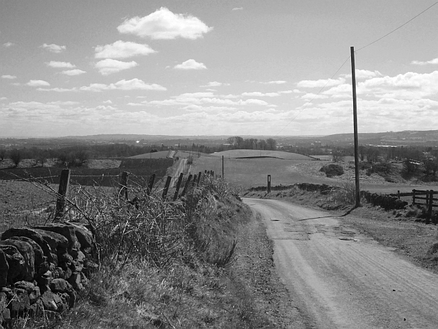
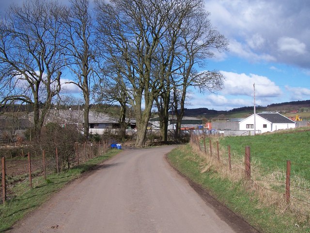
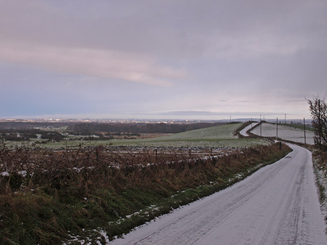
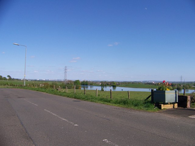
The hill is known for its lush greenery and offers stunning panoramic views of the surrounding landscape. It is covered in a mix of grass, heather, and scattered trees, providing a picturesque setting for outdoor enthusiasts and nature lovers alike.

Bogston Hill is a popular destination for hikers and walkers, as it offers a range of trails and paths that cater to all skill levels. The well-maintained footpaths make it accessible for visitors to explore and enjoy the natural beauty of the area. The hill's strategic location also makes it an ideal spot for birdwatching, with a variety of bird species often spotted in the vicinity.

The summit of Bogston Hill provides breathtaking views of the Clyde Estuary, the nearby hills, and the surrounding towns. On clear days, it is even possible to see as far as the Isle of Arran and the Cowal Peninsula. The hill's location within the Clyde Muirshiel Regional Park ensures that it remains a tranquil and peaceful setting, offering visitors a chance to escape the hustle and bustle of everyday life.

Overall, Bogston Hill in Renfrewshire is a natural gem, offering stunning scenery, recreational opportunities, and a chance to connect with nature in a serene environment.

If you have any feedback on the listing, please let us know in the comments section below.
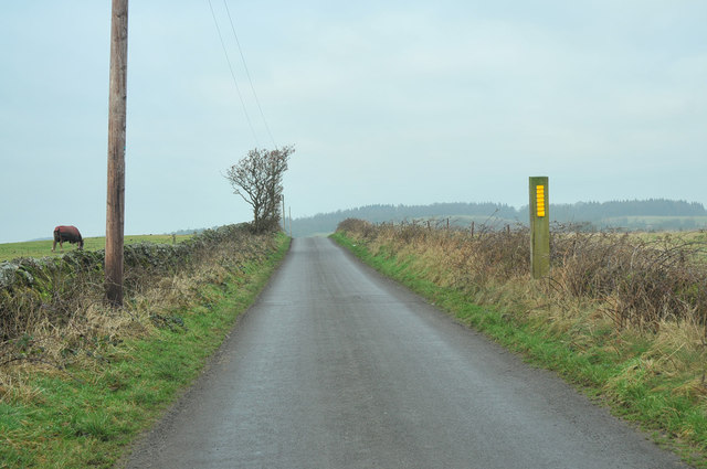
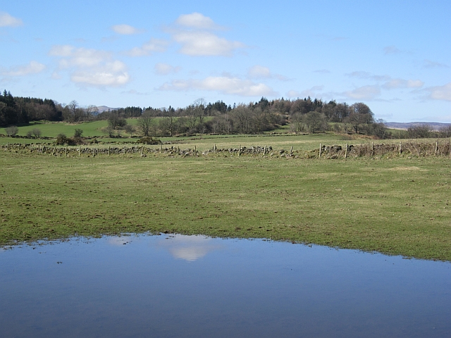
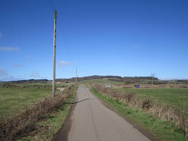
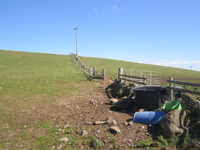
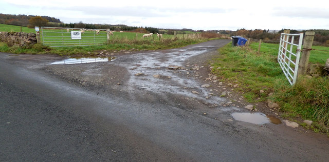
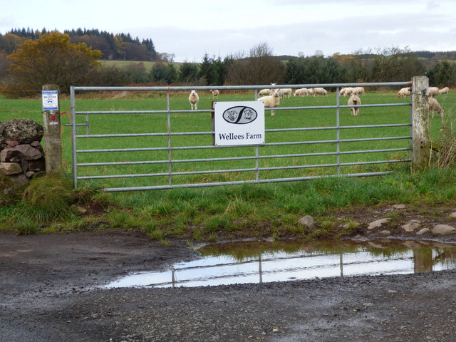
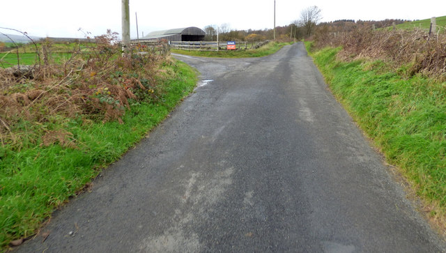
Bogston Hill Images

Images are sourced within 2km of 55.868584/-4.5451886 or Grid Reference NS4066. Thanks to Geograph Open Source API. All images are credited.

Kilallan Road
Kilallan Road
Recent rainfall Flooded field of Kilallan Road.
Recent rainfall
Flooded field of Kilallan Road.
Kilallan Road A very scenic road between Houston and Kilmacolm, it has been designated a "leisure lane" with signs all along it promoting priority to non motorised traffic.
Kilallan Road
A very scenic road between Houston and Kilmacolm, it has been designated a "leisure lane" with signs all along it promoting priority to non motorised traffic.
New water trough Fields above Barfillan on Kilallan Lane.
New water trough
Fields above Barfillan on Kilallan Lane.
Kilallan Road Downhill view from Barfillan towards Houston.
Kilallan Road
Downhill view from Barfillan towards Houston.
Houstonhead Dam near Bridge of Weir
Houstonhead Dam
near Bridge of Weir
Barfillan Farm
Barfillan Farm
Waterlea Farm
Waterlea Farm
Houstonhead Dam On the outskirts of Bridge of Weir, viewed from the Houston Road. Boathouse on the left.
Houstonhead Dam
On the outskirts of Bridge of Weir, viewed from the Houston Road. Boathouse on the left.
Bridge of Weir Recreational grounds to the east of the town, viewed from the entrance off Houston road.
Bridge of Weir
Recreational grounds to the east of the town, viewed from the entrance off Houston road.
Houston Road, B790 Viewed from just outside of Bridge of Weir.
Houston Road, B790
Viewed from just outside of Bridge of Weir.
Kilallan Road, Houston Glasgow in the distance.
Kilallan Road, Houston
Glasgow in the distance.
Houstonhead Dam
Houstonhead Dam
Houstonhead Dam A reservoir which was built to supply a cotton mill (Laigh Mill) with a reliable supply of water.
Houstonhead Dam
A reservoir which was built to supply a cotton mill (Laigh Mill) with a reliable supply of water.
Wellees Farm road The road to Wellees Farm, at Kilallan Road. See also <a href="https://www.geograph.org.uk/photo/5969994">NS3967 : Wellees Farm sign</a>.
Wellees Farm road
The road to Wellees Farm, at Kilallan Road. See also NS3967 : Wellees Farm sign.
Wellees Farm sign At the start of the road to the farm off Kilallan Road. See also <a href="https://www.geograph.org.uk/photo/5969988">NS3967 : Wellees Farm road</a>.
Wellees Farm sign
At the start of the road to the farm off Kilallan Road. See also NS3967 : Wellees Farm road.
Barfillan Farm On Kilallan Road, one of the large sheds is currently to let.
Barfillan Farm
On Kilallan Road, one of the large sheds is currently to let.
Kilallan Road Looking up the hill towards Barfillan Farm.
Kilallan Road
Looking up the hill towards Barfillan Farm.
Show me another place!

Bogston Hill is located at Grid Ref: NS4066 (Lat: 55.868584, Lng: -4.5451886)

Unitary Authority: Renfrewshire

Police Authority: Renfrewshire and Inverclyde

What 3 Words

///every.targeted.dried. Near Houston, Renfrewshire

Nearby Locations

Crosslee Bogston Hill

Related Wikis

Houston House, Renfrewshire

Houston House is an 18th-century mansion, about 1 mile (1.6 km) north and east of Bridge of Weir, Renfrewshire, Scotland, north of the village of Houston...

Houston, Renfrewshire

Houston ( HOO-stən; Scots: Houstoun), is a village in the council area of Renfrewshire and the larger historic county of the same name in the west central...

St Peter's Well, Houston

St Peter's Well is a rare surviving example of a holy well house or covered well that was built over the waters of a spring in a field below Greenhill...

Gryffe High School

Gryffe High School is a comprehensive state secondary school in Houston, Renfrewshire. Founded in 1980 and subsequently expanded, the school had a roll...

Houston and Killellan

Houston and Killellan is a civil parish in the county and council area of Renfrewshire in the west central Lowlands of Scotland. It contains the villages...

Crosslee

Crosslee is a small village lying on the bank of the River Gryffe in the civil parish of Houston and Killellan, Renfrewshire, in Scotland. It lies around...

Craigends Yew

The Craigends Yew (NS4199566134) is an ancient European layering yew (Taxus baccata) growing next to the River Gryffe in what were the grounds of the Craigends...

Craigends

Craigends is a residential area in the civil parish of Houston and Killellan in Renfrewshire, Scotland lying south of the River Gryffe and on the banks...

Nearby Amenities

Located within 500m of 55.868584,-4.5451886
Houston
Is In: Renfrewshire
Name En: Houston
Name Gd: Cille Pheadair
Place: village
Wikidata: Q31028
Wikipedia: en:Houston, Renfrewshire
Lat/Long: 55.86805/-4.5503337
Place Of Worship
Houston & Kilallan Parish Church
Denomination: presbyterian
Religion: christian
Lat/Long: 55.8707989/-4.5428295
Mercat Cross
Historic: memorial
Memorial: mercat_cross
Start Date: 1713
Lat/Long: 55.869036/-4.5500528
Cafe
Cafe at the Carrick
Addr City: Houston
Addr Housename: The Carrick Centre
Addr Postcode: PA6 7HD
Addr Street: Main Street
Cuisine: coffee_shop
Outdoor Seating: no
Lat/Long: 55.868017/-4.5509691
Post Office
The Old Smithy Shop and Post Office
Brand: Post Office
Brand Wikidata: Q1783168
Brand Wikipedia: en:Post Office Ltd
Phone: +44 1505 612685
Website: https://the-old-smithy-shop-post-office.business.site/
Lat/Long: 55.8700852/-4.5489343
Houston Hair
Contact Facebook: https://www.facebook.com/people/The-Houston-Hair-Salon/100057589083798/
Shop: hairdresser
Lat/Long: 55.8701203/-4.548807
Boots
Brand: Boots
Brand Wikidata: Q6123139
Shop: chemist
Lat/Long: 55.8709975/-4.5434252
Power: pole
Lat/Long: 55.8705559/-4.5523906
Bus Stop
St Fillans Primary School
Bus: yes
Public Transport: platform
Lat/Long: 55.8660231/-4.5481557
Bus Stop
St Fillans Primary School
Bus: yes
Public Transport: platform
Lat/Long: 55.8659063/-4.5481836
The data included in this document is from www.openstreetmap.org. The data is made available under ODbL.

Have you been to Bogston Hill?

Leave your review of Bogston Hill below (or comments, questions and feedback).