Crosslee

Settlement in Renfrewshire

Scotland

Crosslee

JL. Smith Construction, Kilbarchan Road
JL. Smith Construction, Kilbarchan Road Credit: Alex McGregor

Crosslee is a small village located in the council area of Renfrewshire, Scotland. Situated approximately 10 miles west of the city of Glasgow, it is nestled in the picturesque countryside, surrounded by rolling hills and green fields. The village is part of the larger civil parish of Houston and Killellan.

With a population of just over 1,000 residents, Crosslee maintains a close-knit community atmosphere. The village itself is characterized by its charming traditional architecture, with many of the houses dating back to the 19th century. The village green is a focal point for community events, providing a space for local gatherings, festivals, and fairs.

Crosslee is known for its proximity to the scenic Gryffe Reservoir, a popular spot for outdoor enthusiasts. The reservoir offers opportunities for fishing, sailing, and walking trails, attracting visitors from across Renfrewshire and beyond.

The village is well-served by local amenities, including a primary school, a community center, and a local shop. For further amenities, residents can easily access the nearby towns of Paisley and Johnstone, which offer a wider range of shopping, dining, and entertainment options.

Transport links in Crosslee are convenient, with regular bus services connecting the village to surrounding areas. The nearby M8 motorway provides easy access to Glasgow and beyond, making it an attractive location for commuters.

In summary, Crosslee is a charming and peaceful village situated in the heart of Renfrewshire, offering a beautiful rural setting while still being conveniently located near major urban centers.

If you have any feedback on the listing, please let us know in the comments section below.
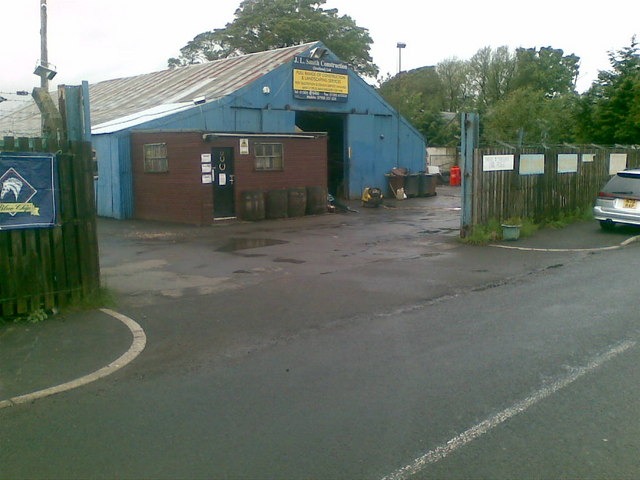
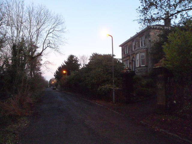
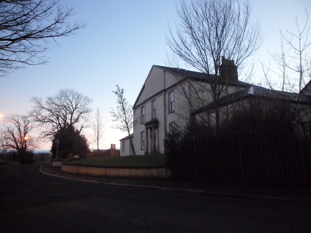
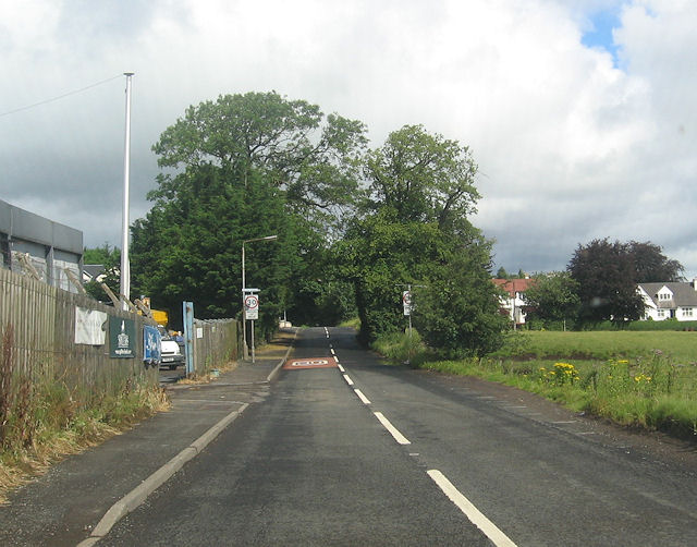
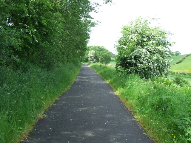
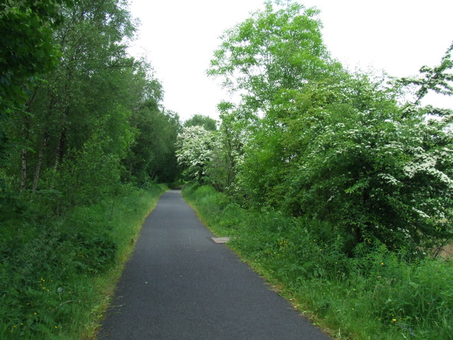
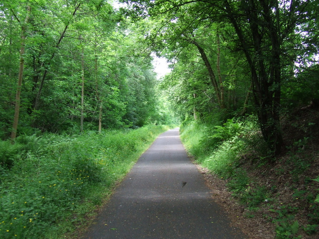
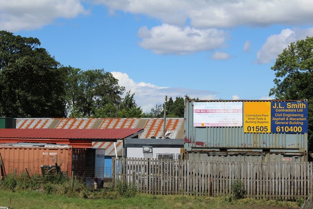
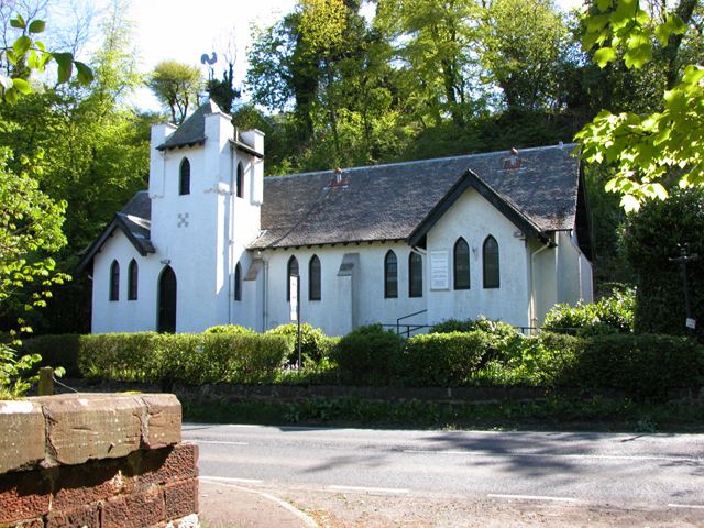
Crosslee Images

Images are sourced within 2km of 55.862076/-4.542264 or Grid Reference NS4066. Thanks to Geograph Open Source API. All images are credited.

JL. Smith Construction, Kilbarchan Road
Bankend, Bridge of Weir
House on Kilbarchan Road On the outskirts of Bridge of Weir.
House on Kilbarchan Road
On the outskirts of Bridge of Weir.
Kilbarchan Road entering Bridge of Weir
National Cycle Network Route 75 Between Crosslee Road and Bridge of Weir.
National Cycle Network Route 75
Between Crosslee Road and Bridge of Weir.
National Cycle Network Route 75 Heading west towards Bridge of Weir.
National Cycle Network Route 75
Heading west towards Bridge of Weir.
National Cycle Network Route 75 Heading west towards Bridge of Weir.
National Cycle Network Route 75
Heading west towards Bridge of Weir.
National Cycle Network Route 75 A shady spot alongside the A761 road, the footbridge opposite St Mary's Scottish Episcopal Church can be seen in the distance.
National Cycle Network Route 75
A shady spot alongside the A761 road, the footbridge opposite St Mary's Scottish Episcopal Church can be seen in the distance.
National Cycle Network Route 75 A shady spot alongside the A761 road, this is the footbridge opposite St Mary's Scottish Episcopal Church, looking west.
National Cycle Network Route 75
A shady spot alongside the A761 road, this is the footbridge opposite St Mary's Scottish Episcopal Church, looking west.
National Cycle Network Route 75 A shady spot alongside the A761 road, this is the footbridge opposite St Mary's Scottish Episcopal Church, looking east.
National Cycle Network Route 75
A shady spot alongside the A761 road, this is the footbridge opposite St Mary's Scottish Episcopal Church, looking east.
National Cycle Network Route 75 One of several "Sustrans 1989 Ltd" marks on the bridge opposite St Mary's Scottish Episcopal Church. 

See also <a href="https://www.geograph.org.uk/photo/3526187">NS3965 : National Cycle Network Route 75</a> & <a href="https://www.geograph.org.uk/photo/3526190">NS3965 : National Cycle Network Route 75</a>.
National Cycle Network Route 75
One of several "Sustrans 1989 Ltd" marks on the bridge opposite St Mary's Scottish Episcopal Church. See also NS3965 : National Cycle Network Route 75 & NS3965 : National Cycle Network Route 75.
Houses on Gorse Crescent Viewed from the cycle path.
Houses on Gorse Crescent
Viewed from the cycle path.
Houses on Gorse Crescent Viewed from the cycle path.
Houses on Gorse Crescent
Viewed from the cycle path.
Path near Gorse Crescent Running up the steep hill from Gorse Crescent to the A761 Bridge of Weir Road at St Mary's Scottish Episcopal Church.
Path near Gorse Crescent
Running up the steep hill from Gorse Crescent to the A761 Bridge of Weir Road at St Mary's Scottish Episcopal Church.
National Cycle Network Route 75 Looking into the path at a gate from the grassed area behind Gorse Crescent.
National Cycle Network Route 75
Looking into the path at a gate from the grassed area behind Gorse Crescent.
National Cycle Network Route 75 A pair of cleverly sculptured chairs in the form of two shovels.

A similar pair can be seen at nearby Johnstone <a href="https://www.geograph.org.uk/photo/2395047">NS4163 : National Cycle Network Route 7</a>.
National Cycle Network Route 75
A pair of cleverly sculptured chairs in the form of two shovels. A similar pair can be seen at nearby Johnstone NS4163 : National Cycle Network Route 7.
J L Smith Contractors Ltd, Bridge of Weir Business premises on Kilbarchan Road
J L Smith Contractors Ltd, Bridge of Weir
Business premises on Kilbarchan Road
St Mary's Church St Mary's Episcopalian Church, Bridge of Weir Road, Bridge of Weir.
St Mary's Church
St Mary's Episcopalian Church, Bridge of Weir Road, Bridge of Weir.
Show me another place!

Crosslee is located at Grid Ref: NS4066 (Lat: 55.862076, Lng: -4.542264)

Unitary Authority: Renfrewshire

Police Authority: Renfrewshire and Inverclyde

What 3 Words

///means.plod.casino. Near Houston, Renfrewshire

Nearby Locations

Crosslee Bogston Hill

Related Wikis

Nearby Amenities

Located within 500m of 55.862076,-4.542264
Mini Roundabout
Lat/Long: 55.8641735/-4.5411125
Crosslee
Is In: Renfrewshire
Place: village
Wikidata: Q1970603
Lat/Long: 55.860821/-4.5404024
Restaurant
River Inn
Lat/Long: 55.8600261/-4.5403228
Restaurant
Lat/Long: 55.863793/-4.5409997
SWB Sports Therapy / Shiny Vinyl Record Cleaning
Start Date: 2020-10-01
Lat/Long: 55.8649408/-4.5364074
Co-op Food
Brand: Co-op Food
Brand Wikidata: Q3277439
Brand Wikipedia: en:Co-op Food
Operator: The Co-operative Group
Operator Wikidata: Q117202
Shop: supermarket
Website: https://www.coop.co.uk/store-finder/PA6-7DT/63-crosslee-crescent
Lat/Long: 55.8636135/-4.5411628
Fast Food
Pauls
Cuisine: fish_and_chips;pizza
Lat/Long: 55.8637924/-4.5412031
Power: pole
Lat/Long: 55.8578802/-4.5417179
Power: pole
Lat/Long: 55.8583187/-4.5422908
Power: pole
Lat/Long: 55.858722/-4.5428658
Power: pole
Lat/Long: 55.8592353/-4.543572
Bus Stop
Crosslee Road
Bus: yes
Naptan AtcoCode: 6140854
Naptan NaptanCode: 73924585
Public Transport: platform
Lat/Long: 55.8582911/-4.539549
Bus Stop
Crosslee Road
Bus: yes
Naptan AtcoCode: 6140853
Naptan NaptanCode: 73925486
Public Transport: platform
Lat/Long: 55.8582526/-4.5396627
Bus Stop
Whirlee Road
Bus: yes
Public Transport: platform
Lat/Long: 55.8603456/-4.540594
Bus Stop
Whirlee Road
Bus: yes
Public Transport: platform
Lat/Long: 55.8602179/-4.5404417
Bus Stop
Lee Burn Road
Bus: yes
Public Transport: platform
Lat/Long: 55.8633067/-4.5414394
Bus Stop
Lee Burn Road
Bus: yes
Naptan AtcoCode: 6140857
Naptan NaptanCode: 73924824
Public Transport: platform
Lat/Long: 55.8628479/-4.5406991
Defibrillator
Access: yes
Booth: K6
Covered: booth
Defibrillator Location: inside old red phone box in Crosslee
Disused Amenity: telephone
Emergency: defibrillator
Man Made: telephone_box
Lat/Long: 55.8611027/-4.5405332
Post Box
Post Box Type: lamp
Royal Cypher: scottish_crown
Lat/Long: 55.86113/-4.5405312
Bicycle Parking
Bicycle Parking: stands
Capacity: 8
Covered: no
Lat/Long: 55.8599594/-4.5409004
Leisure: picnic_table
Lat/Long: 55.8599675/-4.5408271
Leisure: picnic_table
Lat/Long: 55.8599654/-4.540786
Bench
Lat/Long: 55.8599383/-4.540735
Bench
Lat/Long: 55.8599634/-4.5410622
Bench
Lat/Long: 55.8599449/-4.5412196
The data included in this document is from www.openstreetmap.org. The data is made available under ODbL.

Have you been to Crosslee?

Leave your review of Crosslee below (or comments, questions and feedback).