Weavers Cott
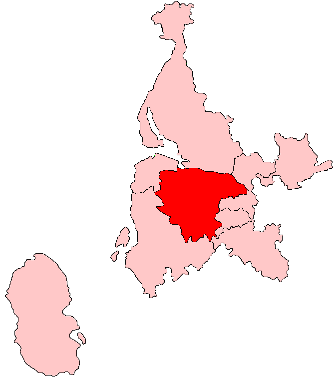
Settlement in Renfrewshire
Scotland
Weavers Cott

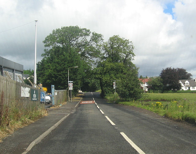
Weavers Cott is a small village located in the historic county of Renfrewshire, Scotland. Situated approximately 10 miles southwest of Glasgow, it lies on the banks of the River Clyde, offering picturesque views and a tranquil atmosphere.
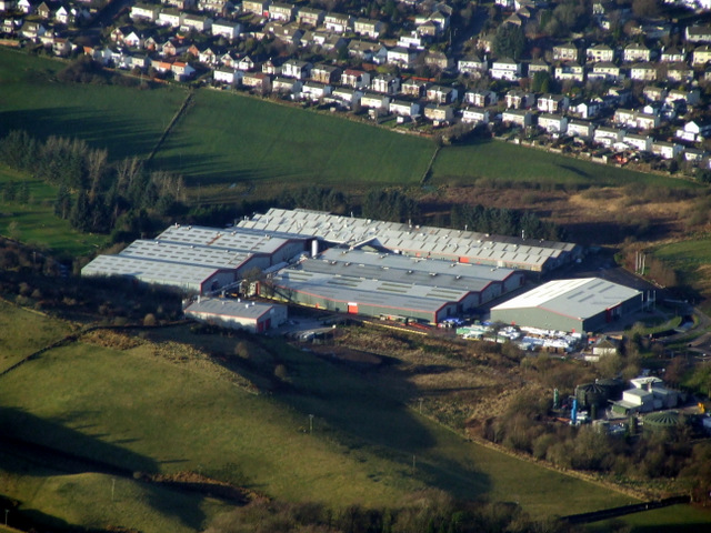
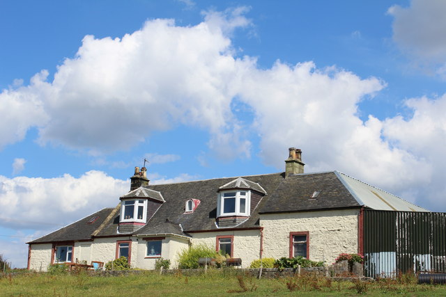
With a population of around 500 residents, Weavers Cott is a close-knit community that takes pride in its rich history and heritage. The name of the village is derived from its historical association with the weaving industry, which thrived here during the 18th and 19th centuries. Many of the traditional cottages and buildings that once housed weavers still stand today, providing a glimpse into the village's past.
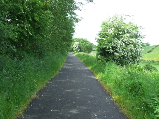
The village is surrounded by picturesque countryside, making it a popular destination for nature lovers and outdoor enthusiasts. The nearby Clyde Muirshiel Regional Park offers a range of recreational activities, including hiking, cycling, and birdwatching. Additionally, the river itself provides opportunities for fishing and boating.
Despite its rural charm, Weavers Cott is conveniently located near major transport links. The nearby M8 motorway ensures easy access to Glasgow and other major cities, while the nearby railway station provides regular services to surrounding areas.
Weavers Cott boasts a strong sense of community spirit, with various local events and festivals taking place throughout the year. The village also has a primary school, a community center, and a few local shops, ensuring that residents have access to essential amenities.
Overall, Weavers Cott is a charming village that offers a peaceful retreat from the hustle and bustle of nearby urban areas while providing a strong sense of community and an abundance of natural beauty.
If you have any feedback on the listing, please let us know in the comments section below.
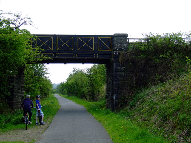
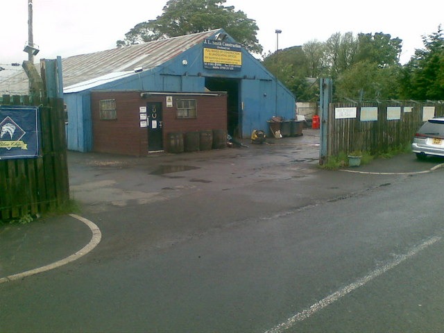
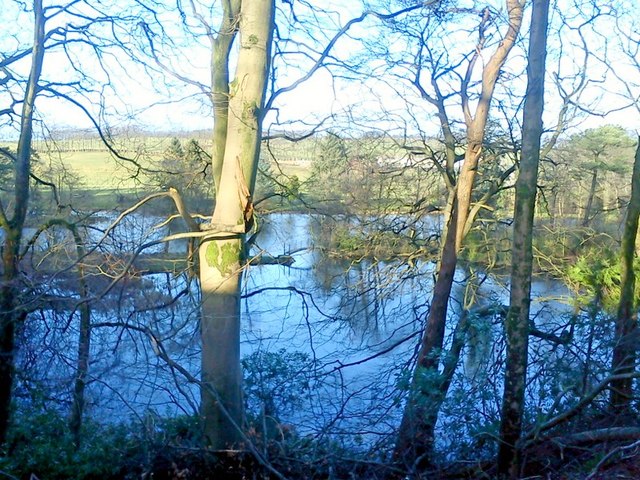
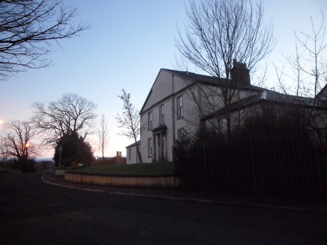
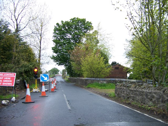
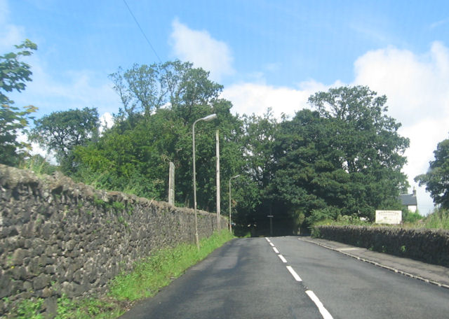
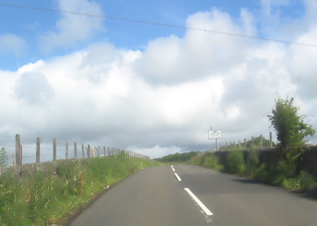
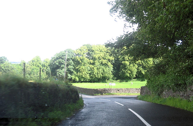
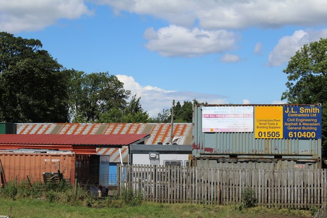
Weavers Cott Images
Images are sourced within 2km of 55.833624/-4.5562707 or Grid Reference NS4063. Thanks to Geograph Open Source API. All images are credited.


Weavers Cott is located at Grid Ref: NS4063 (Lat: 55.833624, Lng: -4.5562707)
Unitary Authority: Renfrewshire
Police Authority: Renfrewshire and Inverclyde
What 3 Words
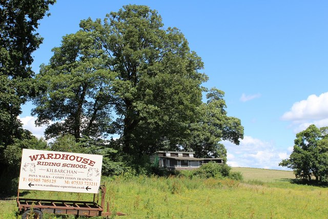
///foods.digests.inflict. Near Kilbarchan, Renfrewshire
Nearby Locations
Related Wikis

Kilbarchan
Kilbarchan (; Scottish Gaelic: Cill Bhearchain) is a village and civil parish in central Renfrewshire, in the west central Lowlands of Scotland. The village...

Kilbarchan railway station
Kilbarchan railway station was a railway station serving the village of Kilbarchan, Renfrewshire, Scotland. The station was part of the Dalry and North...

Renfrewshire
Renfrewshire () (Scots: Renfrewshire; Scottish Gaelic: Siorrachd Rinn Friù) is one of the 32 council areas of Scotland. The council area has the same name...

Nation Radio Scotland
Nation Radio Scotland (formerly XFM Scotland (2014), 96.3 Rock Radio Real XS, Q96 and 96.3QFM) is a Scottish Independent Local Radio station for Renfrewshire...

Milliken Park railway station
Milliken Park railway station serves the west end of Johnstone and the south west of the village of Kilbarchan in Renfrewshire, Scotland. The station is...
West Renfrewshire (Scottish Parliament constituency)
West Renfrewshire was a constituency of the Scottish Parliament (Holyrood). It elected one Member of the Scottish Parliament (MSP) by the first past the...
Brookfield, Renfrewshire
Brookfield is a small dormitory village in west central Renfrewshire, Scotland. It lies on the north of the A761 road, which runs through a number of towns...
Cochrane Castle
Cochrane Castle was a castle, 1 mile (1.6 km) west of Johnstone, Renfrewshire, Scotland, near the Black Cart Water. == History == The property was owned...
Nearby Amenities
Located within 500m of 55.833624,-4.5562707Have you been to Weavers Cott?
Leave your review of Weavers Cott below (or comments, questions and feedback).