Kilbarchan

Settlement in Renfrewshire

Scotland

Kilbarchan

National Cycle Network Route 7 Looking towards Kilbarchan.
National Cycle Network Route 7 Credit: Thomas Nugent

Kilbarchan is a small village located in the historic county of Renfrewshire, Scotland. Situated approximately 12 miles west of Glasgow, it lies on the banks of the River Gryffe. With a population of around 4,000 residents, Kilbarchan boasts a rich history and a strong sense of community.

The village's origins can be traced back to the 12th century when it was established as a weaving center. Kilbarchan thrived during the Industrial Revolution, becoming renowned for its textile industry and producing high-quality textiles such as cotton and silk. Today, remnants of this industrial heritage can still be seen in the village's architecture and historic buildings.

The village is known for its picturesque setting, surrounded by beautiful countryside and rolling hills. It offers a peaceful and tranquil environment for residents and visitors alike. Kilbarchan also benefits from excellent transport links, with easy access to both Glasgow and Paisley.

In terms of amenities, Kilbarchan has a range of local shops, pubs, and restaurants, providing for the everyday needs of its residents. The village also has a primary school and community center, which serve as hubs for various activities and events.

Kilbarchan is renowned for its annual Kilbarchan Agricultural Show, a traditional event that attracts visitors from near and far. The show features livestock competitions, equestrian events, local crafts, and other family-friendly activities.

Overall, Kilbarchan is a charming village with a rich history, stunning natural surroundings, and a close-knit community spirit. It offers a peaceful retreat from the nearby urban centers while providing all the necessary amenities for its residents.

If you have any feedback on the listing, please let us know in the comments section below.
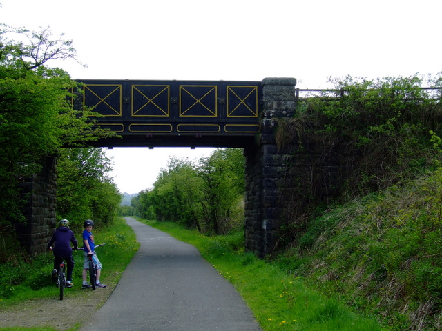
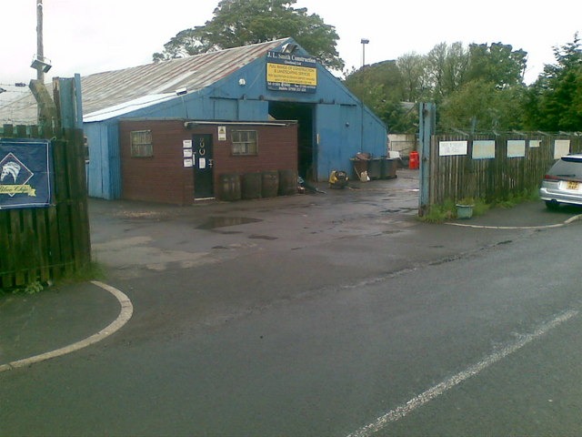
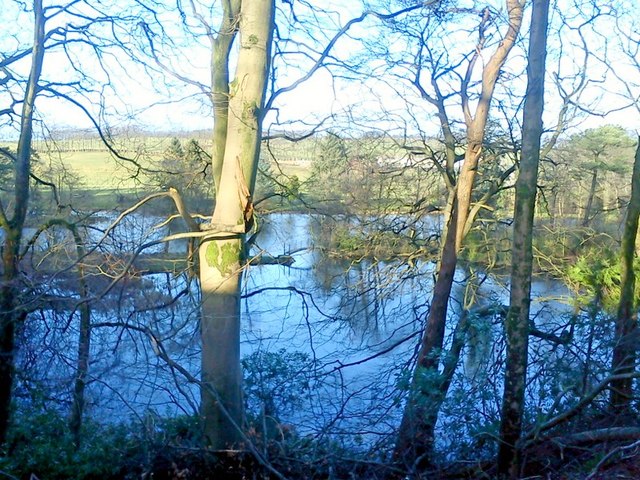
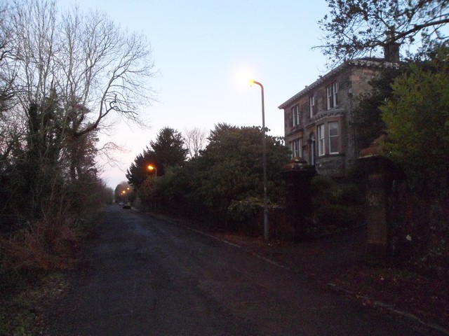
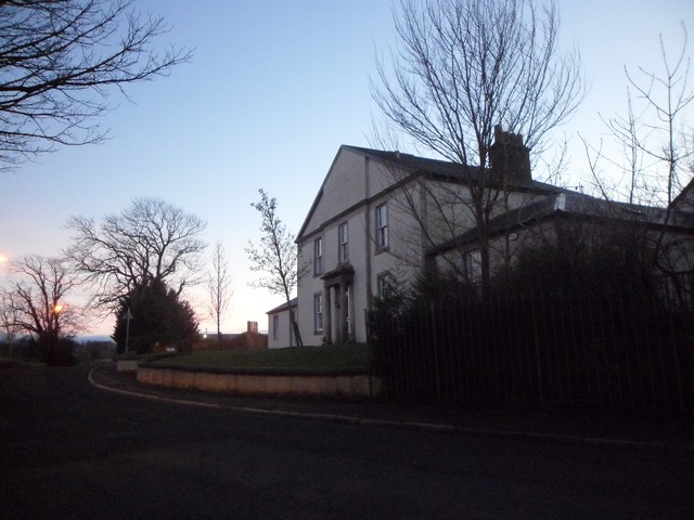
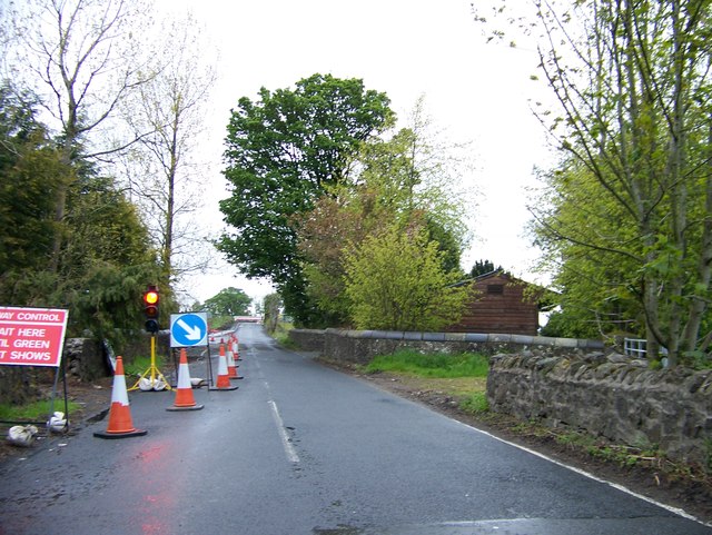
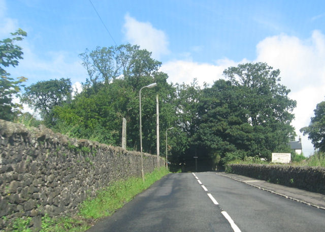
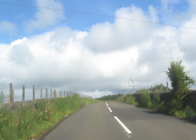
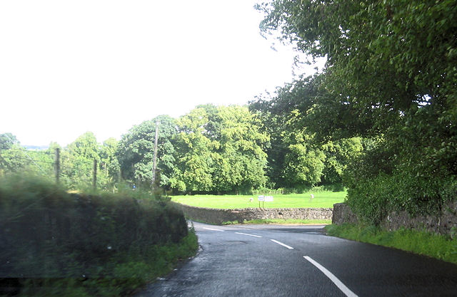
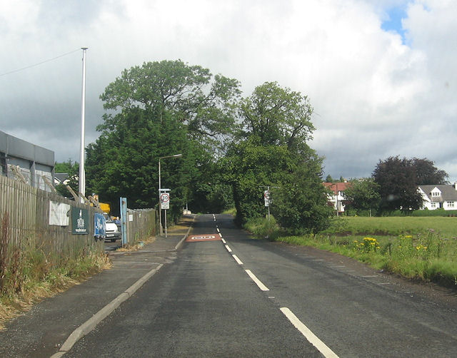
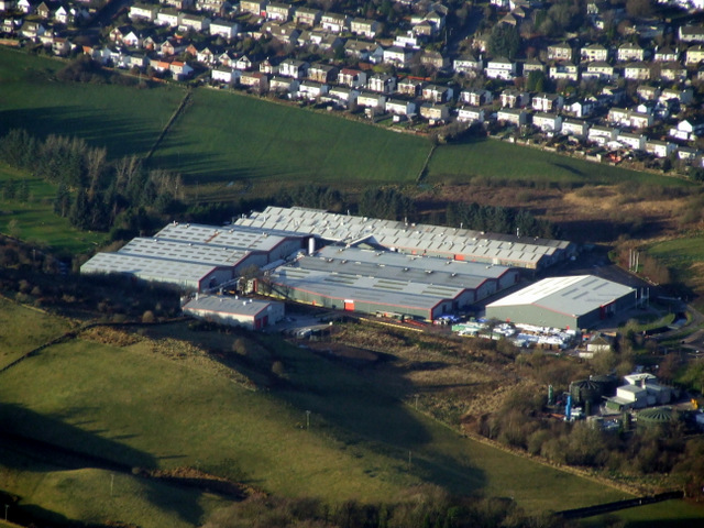
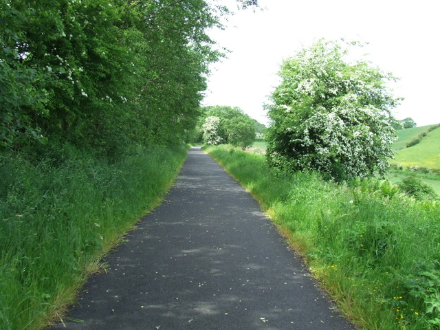
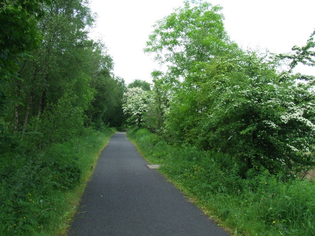
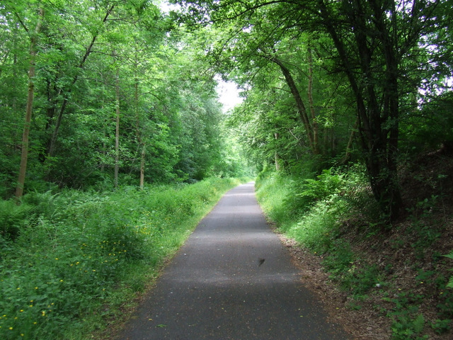
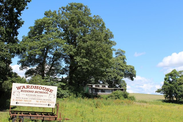
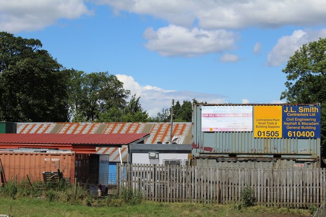
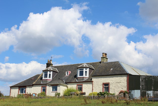
Kilbarchan Images

Images are sourced within 2km of 55.836322/-4.55368 or Grid Reference NS4063. Thanks to Geograph Open Source API. All images are credited.

National Cycle Network Route 7 Looking towards Kilbarchan.
National Cycle Network Route 7
Looking towards Kilbarchan.
National Cycle Network Route 7 Between Kilbarchan and Lochwinnoch.
National Cycle Network Route 7
Between Kilbarchan and Lochwinnoch.
JL. Smith Construction, Kilbarchan Road
Glentyan House lake, Kilbarchan Taken from road above.
Glentyan House lake, Kilbarchan
Taken from road above.
Bankend, Bridge of Weir
House on Kilbarchan Road On the outskirts of Bridge of Weir.
House on Kilbarchan Road
On the outskirts of Bridge of Weir.
Road works on Kilbarchan Road approaching Bridge of Weir
Locher Road at Forehouse Ward House riding stables to the right
Locher Road at Forehouse
Ward House riding stables to the right
Approaching sharp bend in Locher Road
Road junction to Pannell Farm
Kilbarchan Road entering Bridge of Weir
Bridge of Weir Leather tannery NCT's Locher Works, viewed shortly after take-off from Glasgow <span class="nowrap"><a title="http://www.bowleather.co.uk/bow/Home_2010.aspx" rel="nofollow ugc noopener" href="http://www.bowleather.co.uk/bow/Home_2010.aspx">Link</a><img style="margin-left:2px;" alt="External link" title="External link - shift click to open in new window" src="https://s1.geograph.org.uk/img/external.png" width="10" height="10"/></span> .
Bridge of Weir Leather tannery
NCT's Locher Works, viewed shortly after take-off from Glasgow LinkExternal link .
National Cycle Network Route 75 Between Crosslee Road and Bridge of Weir.
National Cycle Network Route 75
Between Crosslee Road and Bridge of Weir.
National Cycle Network Route 75 Heading west towards Bridge of Weir.
National Cycle Network Route 75
Heading west towards Bridge of Weir.
National Cycle Network Route 75 Heading west towards Bridge of Weir.
National Cycle Network Route 75
Heading west towards Bridge of Weir.
Sign for Wardhouse Riding School by Locher Road At the junction with Forehouse Road
Sign for Wardhouse Riding School by Locher Road
At the junction with Forehouse Road
J L Smith Contractors Ltd, Bridge of Weir Business premises on Kilbarchan Road
J L Smith Contractors Ltd, Bridge of Weir
Business premises on Kilbarchan Road
Kibbleston
Kibbleston
Show me another place!

Kilbarchan is located at Grid Ref: NS4063 (Lat: 55.836322, Lng: -4.55368)

Unitary Authority: Renfrewshire

Police Authority: Renfrewshire and Inverclyde

What 3 Words

///splints.tuxedos.drums. Near Kilbarchan, Renfrewshire

Related Wikis

Kilbarchan

Kilbarchan (; Scottish Gaelic: Cill Bhearchain) is a village and civil parish in central Renfrewshire, in the west central Lowlands of Scotland. The village...

Kilbarchan railway station

Kilbarchan railway station was a railway station serving the village of Kilbarchan, Renfrewshire, Scotland. The station was part of the Dalry and North...

Nation Radio Scotland

Nation Radio Scotland (formerly XFM Scotland (2014), 96.3 Rock Radio Real XS, Q96 and 96.3QFM) is a Scottish Independent Local Radio station for Renfrewshire...

Renfrewshire

Renfrewshire () (Scots: Renfrewshire; Scottish Gaelic: Siorrachd Rinn FriĆ¹) is one of the 32 council areas of Scotland. The council area has the same name...

Nearby Amenities

Located within 500m of 55.836322,-4.55368
Kilbarchan
Name En: Kilbarchan
Name Gd: Cill Bhearchain
Place: village
Wikidata: Q2146505
Lat/Long: 55.8362999/-4.5532607
Bus Stop
Lat/Long: 55.8398299/-4.5494179
School: entrance
Lat/Long: 55.8403144/-4.5504993
Bus Stop
Lat/Long: 55.8345441/-4.5490332
Post Box
Lat/Long: 55.8346013/-4.5491405
Mary Barbour Cairn
Historic: memorial
Inscription: MARY BARBOUR Born New Street Kilbarchan 1875 - 1958 Champion of the People and Social Reformer
Memorial: cairn
Lat/Long: 55.8366071/-4.5525699
Traffic Signals
Traffic Signals: pedestrian_crossing
Traffic Signals Direction: both
Lat/Long: 55.8347192/-4.5506499
The data included in this document is from www.openstreetmap.org. The data is made available under ODbL.

Have you been to Kilbarchan?

Leave your review of Kilbarchan below (or comments, questions and feedback).