Hill of Old Hall

Hill, Mountain in Wigtownshire

Scotland

Hill of Old Hall

Pylons across the grassland High Barbuchany is hidden in the dip.
Kirroughtree Forest in the distance.
Pylons across the grassland Credit: Russel Wills

Hill of Old Hall is a prominent geographical feature located in the region of Wigtownshire, Scotland. Rising to an elevation of approximately 270 meters (886 feet), it is classified as a hill rather than a mountain. The hill is situated near the village of Old Hall, which lies about 8 kilometers (5 miles) northwest of the town of Newton Stewart.

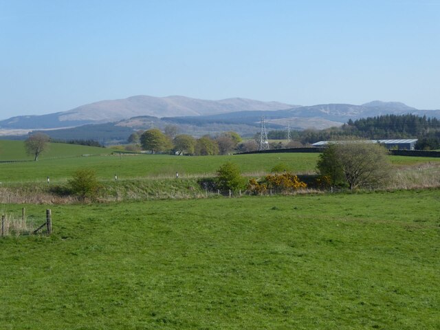
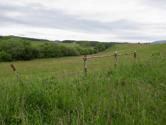
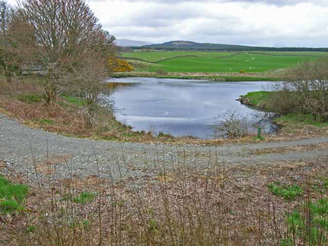
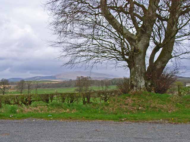
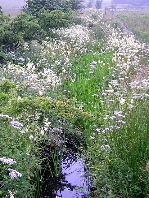
Hill of Old Hall is characterized by its rolling, grassy slopes and is predominantly covered with heather and gorse vegetation. The hill offers panoramic views of the surrounding countryside, including the picturesque Wigtown Bay and the Galloway Hills in the distance. On clear days, it is possible to see as far as the Isle of Man.

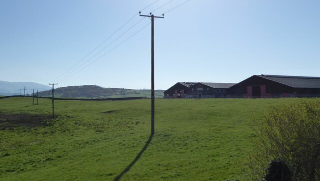
The area around Hill of Old Hall is rich in natural beauty and biodiversity. The hill is home to a variety of bird species, including buzzards, kestrels, and meadow pipits, making it a popular spot for birdwatchers. Additionally, the hillside is dotted with sheep farms, contributing to the rural charm of the area.

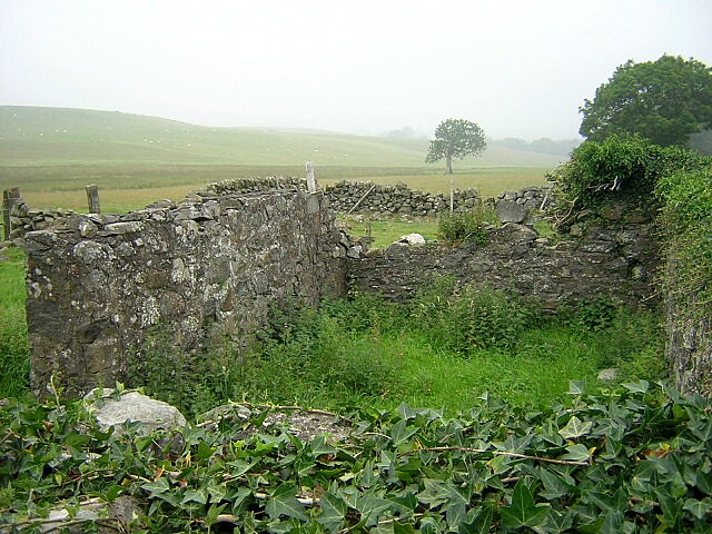
Hill of Old Hall is also steeped in history, with remnants of ancient settlements and burial sites dating back to the Bronze Age. These archaeological remains add an extra layer of intrigue to the hill, making it a site of interest for history enthusiasts.

Overall, Hill of Old Hall is a scenic and historically significant landmark in Wigtownshire, offering visitors an opportunity to immerse themselves in the natural beauty and cultural heritage of the region.

If you have any feedback on the listing, please let us know in the comments section below.

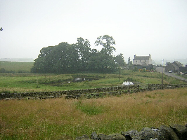
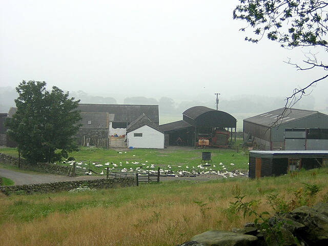
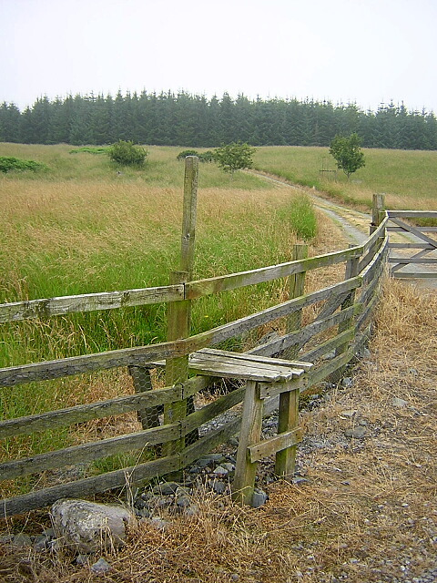
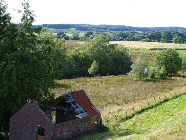
Hill of Old Hall Images

Images are sourced within 2km of 54.96272/-4.4950165 or Grid Reference NX4065. Thanks to Geograph Open Source API. All images are credited.

Pylons across the grassland High Barbuchany is hidden in the dip.
Kirroughtree Forest in the distance.
Pylons across the grassland
High Barbuchany is hidden in the dip. Kirroughtree Forest in the distance.
Electricity poles At East Knockbrex.
Electricity poles
At East Knockbrex.
Driveway, Beechbank
Driveway, Beechbank
Road west of Newton Stewart A ready made bypass between the A75 and road to Girvan.
Road west of Newton Stewart
A ready made bypass between the A75 and road to Girvan.
Field and muck heap, Challoch Haugh beside the Cree.
Field and muck heap, Challoch
Haugh beside the Cree.
Fields beside the Cree View from the Girvan to Newton Stewart road.
Fields beside the Cree
View from the Girvan to Newton Stewart road.
Minor road near Newton Stewart Closed today for service for the Roger Albert Clark Rally 2023.
Minor road near Newton Stewart
Closed today for service for the Roger Albert Clark Rally 2023.
Knockbrex Toll Old tollhouse on the A75
Knockbrex Toll
Old tollhouse on the A75
South Barnkirk This farm now appears to serve as a timber yard
South Barnkirk
This farm now appears to serve as a timber yard
Bend in the River Cree
Layby on the A714 On the Newton Stewart to Girvan road
Layby on the A714
On the Newton Stewart to Girvan road
View of the Cairnsmore of Fleet from the layby on the A714
Challoch Burn
Challoch Burn
Ruin Near Challoch Burn
Boreland
Boreland
Geese at Boreland
Geese at Boreland
Stile Near Boreland
Stile Near Boreland
Barnkirk Pond
Barnkirk Pond
Show me another place!

Hill of Old Hall is located at Grid Ref: NX4065 (Lat: 54.96272, Lng: -4.4950165)

Unitary Authority: Dumfries and Galloway

Police Authority: Dumfries and Galloway

What 3 Words

///obliging.withdraw.maternal. Near Newton Stewart, Dumfries & Galloway

Related Wikis

Douglas Ewart High School

Douglas Ewart High School was opened in 1922 in Newton Stewart, Scotland. It was formed by the amalgamation of the Douglas Free School opened in 1834...

Newton Stewart

Newton Stewart (Gd: Baile Ùr nan Stiùbhartach) is a former burgh town in the historical county of Wigtownshire in Dumfries and Galloway, southwest Scotland...

Newton Stewart F.C.

Newton Stewart Football Club are a football club from the town of Newton Stewart in the Dumfries and Galloway area of Scotland. Formed in 1880, as Newton...

Penninghame

Penninghame in Wigtownshire, Dumfries and Galloway, Scotland, is a civil parish area, 8 miles (N. W.) from Wigtown. The area is approx 16 miles in length...

Nearby Amenities

Located within 500m of 54.96272,-4.4950165
Bus Stop
Douglas Ewart
Naptan AtcoCode: 680000336222
Naptan Bearing: E
Naptan CommonName: Douglas Ewart
Naptan Indicator: School
Naptan Landmark: High School
Naptan NaptanCode: 34236832
Naptan Notes: none
Naptan Street: Crosbie Road
Naptan Verified: no
Source: naptan_import
Lat/Long: 54.9596373/-4.4895997
Windsor Terr
Naptan AtcoCode: 680000343222
Naptan Bearing: SE
Naptan BusStopType: CUS
Naptan CommonName: Windsor Terr
Naptan Indicator: no 8
Naptan Landmark: Maxwell Drive
Naptan NaptanCode: 34236829
Naptan Notes: none
Naptan Street: Windsor Terrace
Naptan Verified: no
Source: naptan_import
Lat/Long: 54.9620367/-4.4896388
Turning Circle
Source: bing
Lat/Long: 54.9593989/-4.4912556
Power: tower
Lat/Long: 54.9651892/-4.4981482
Power: tower
Lat/Long: 54.963008/-4.5012447
Power: tower
Lat/Long: 54.9670079/-4.4955663
Post Box
Collection Times: Mo-Fr 09:00; Sa 07:00
Operator: Royal Mail
Post Box Type: lamp
Ref: DG8 66D
Royal Cypher: EIIR
Royal Cypher Wikidata: Q33102113
Lat/Long: 54.9616675/-4.4894372
Generator Method: photovoltaic
Generator Output Electricity: yes
Generator Source: solar
Generator Type: solar_photovoltaic_panel
Location: roof
Power: generator
Source: bing
Lat/Long: 54.9612352/-4.4908386
Generator Method: photovoltaic
Generator Output Electricity: yes
Generator Source: solar
Generator Type: solar_photovoltaic_panel
Location: roof
Power: generator
Source: bing
Lat/Long: 54.9614446/-4.4901922
Generator Method: photovoltaic
Generator Output Electricity: yes
Generator Source: solar
Generator Type: solar_photovoltaic_panel
Location: roof
Power: generator
Source: bing
Lat/Long: 54.9609564/-4.4903854
Generator Method: photovoltaic
Generator Output Electricity: yes
Generator Source: solar
Generator Type: solar_photovoltaic_panel
Location: roof
Power: generator
Source: bing
Lat/Long: 54.9588605/-4.4913697
The data included in this document is from www.openstreetmap.org. The data is made available under ODbL.

Have you been to Hill of Old Hall?

Leave your review of Hill of Old Hall below (or comments, questions and feedback).