Borgan Hill
Hill, Mountain in Kirkcudbrightshire
Scotland
Borgan Hill
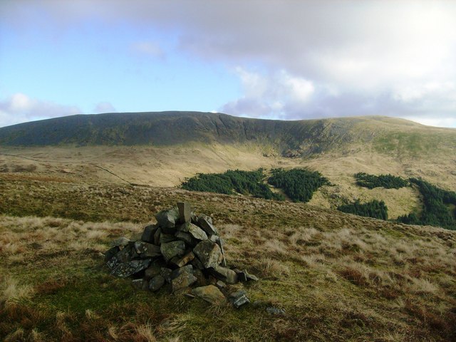
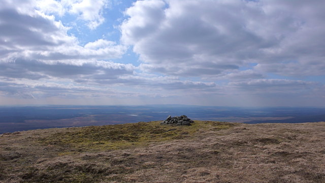
Borgan Hill is a prominent geographical feature located in the historic county of Kirkcudbrightshire, Scotland. Situated in the southern part of the country, it forms part of the picturesque landscape of the Galloway Hills. With an elevation of approximately 375 meters (1,230 feet), Borgan Hill is classified as a hill rather than a mountain.
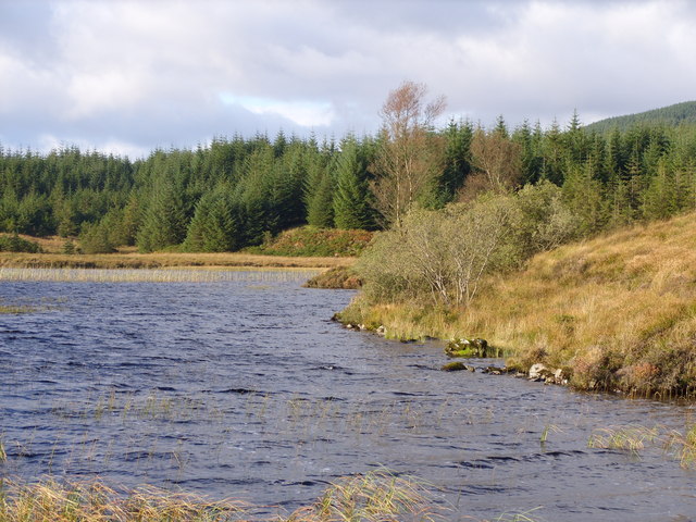
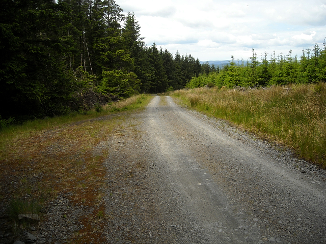
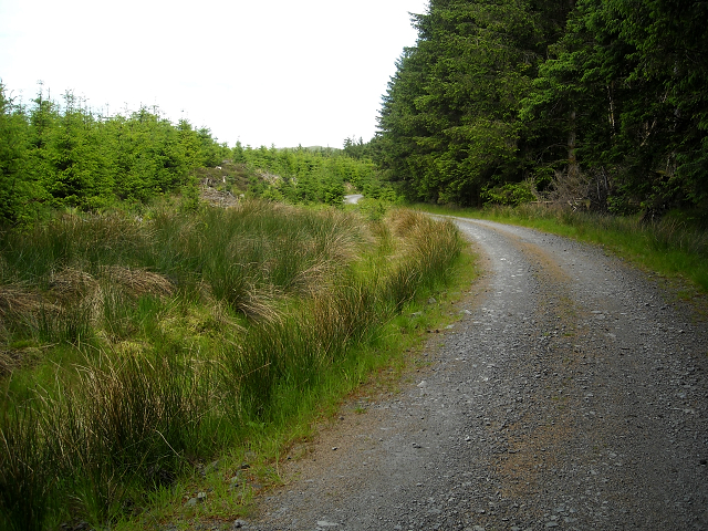
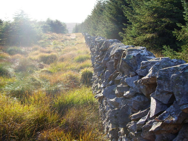
The hill is characterized by its gently sloping sides and rounded summit, offering panoramic views of the surrounding countryside. Its location within the Galloway Forest Park, one of the largest forested areas in the United Kingdom, further adds to its natural beauty. The park is known for its diverse flora and fauna, and Borgan Hill provides a vantage point to appreciate this ecological richness.
Access to Borgan Hill is relatively easy, with several walking paths and trails leading to its summit. Outdoor enthusiasts and nature lovers often venture to the area to enjoy activities such as hiking, birdwatching, and photography. The hill's proximity to other notable landmarks, including Loch Ken and Loch Dee, also makes it an appealing destination for those seeking outdoor adventures.
The surrounding area of Borgan Hill is largely rural, dotted with small villages and farms. Kirkcudbright, a historic town known for its artistic heritage, is located approximately 10 kilometers (6 miles) to the southwest. The tranquil and serene atmosphere of Borgan Hill, combined with its stunning natural surroundings, makes it an ideal destination for both locals and tourists seeking a peaceful escape in the Scottish countryside.
If you have any feedback on the listing, please let us know in the comments section below.
Borgan Hill Images
Images are sourced within 2km of 55.052295/-4.5007277 or Grid Reference NX4075. Thanks to Geograph Open Source API. All images are credited.


Borgan Hill is located at Grid Ref: NX4075 (Lat: 55.052295, Lng: -4.5007277)
Unitary Authority: Dumfries and Galloway
Police Authority: Dumfries and Galloway
What 3 Words
///fled.sparrows.apple. Near Newton Stewart, Dumfries & Galloway
Nearby Locations
Related Wikis

Glen Trool
Glen Trool (Scottish Gaelic: Gleann an t-Sruthail) is a glen in the Southern Uplands, Galloway, Scotland. It contains Loch Trool which is fed by several...

Lamachan Hill
Lamachan Hill is a hill in the Minnigaff Hills, a sub-range of the Galloway Hills range, part of the Southern Uplands of Scotland. It is the highest hill...

Loch Trool
Loch Trool is a narrow, freshwater loch in Galloway, in the Southern Uplands in south-west Scotland. It lies in an elevated position in Glen Trool in the...

Glentrool
Glentrool is a collection of mountain biking routes through the heart of Galloway in southwest Scotland. The mountain bike routes are part of the 7Stanes...
Have you been to Borgan Hill?
Leave your review of Borgan Hill below (or comments, questions and feedback).