Auchleand Moor

Hill, Mountain in Wigtownshire

Scotland

Auchleand Moor

Track at Knockmore This farm track leads in this direction away from the farm past Knockmore Hill to the left and Drummanoghan to the right.
Track at Knockmore Credit: Andy Farrington

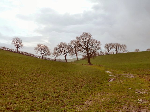
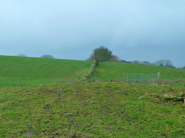
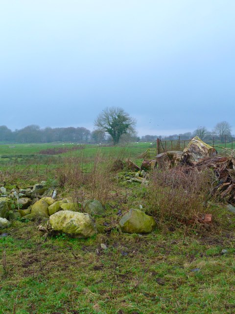
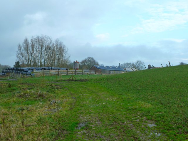
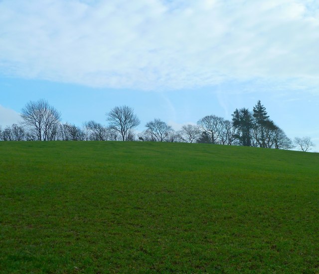
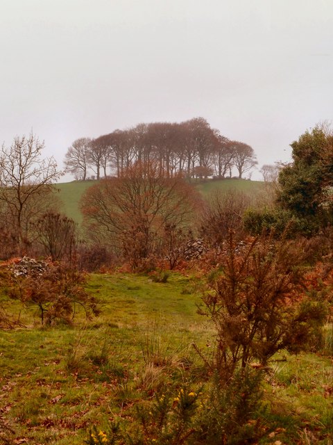
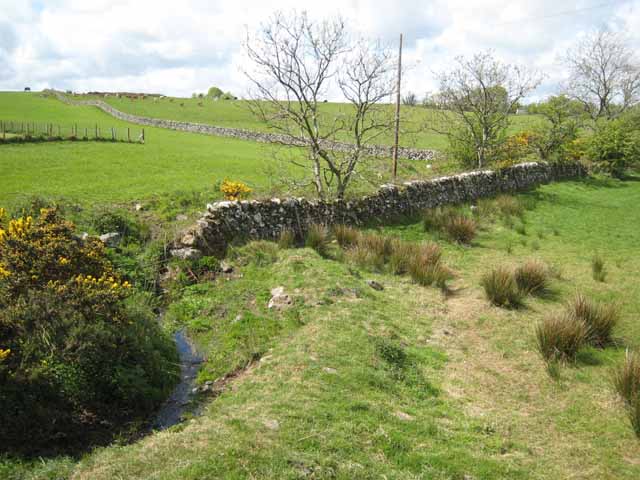
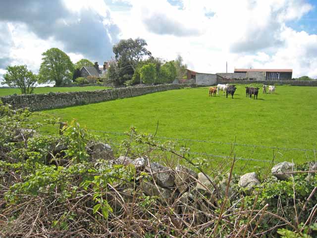
Auchleand Moor is a prominent hill located in Wigtownshire, Scotland. Situated near the village of Kirkcowan, it is part of the larger Galloway Hills range. Auchleand Moor reaches an impressive height of 522 meters (1,713 feet) and offers breathtaking panoramic views of the surrounding countryside.

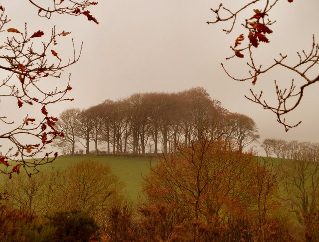
The hill is characterized by its distinct heather-covered slopes, which provide a vibrant purple hue during the summer months. The terrain is mostly composed of granite and schist, giving the hill a rugged and majestic appearance.

Auchleand Moor is a popular destination for outdoor enthusiasts, particularly hikers and climbers. Several well-marked trails traverse the hill, catering to different levels of experience. These paths offer visitors the opportunity to explore the diverse flora and fauna that call the area home. Birdwatchers will also find the moor to be a haven, as it attracts a variety of avian species, including buzzards and peregrine falcons.

Despite its remote location, Auchleand Moor is easily accessible, with a car park located nearby. The hill is often used as a starting point for longer hikes in the Galloway Hills, providing a gateway to further exploration of the region.

Auchleand Moor, with its stunning vistas and natural beauty, is a true gem of Wigtownshire, attracting both locals and tourists alike who seek to immerse themselves in the tranquility of the Scottish countryside.

If you have any feedback on the listing, please let us know in the comments section below.

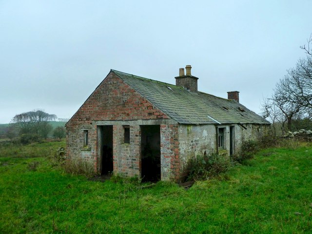
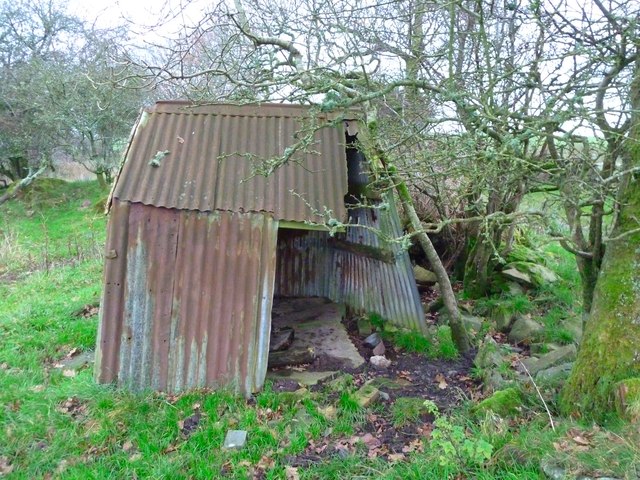
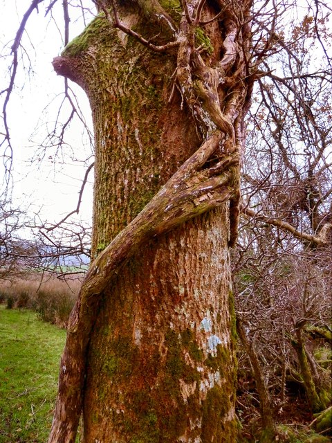
Auchleand Moor Images

Images are sourced within 2km of 54.891362/-4.4907416 or Grid Reference NX4058. Thanks to Geograph Open Source API. All images are credited.

Track at Knockmore This farm track leads in this direction away from the farm past Knockmore Hill to the left and Drummanoghan to the right.
Track at Knockmore
This farm track leads in this direction away from the farm past Knockmore Hill to the left and Drummanoghan to the right.
Track at Knockmore This track at the farm passes by Drummanoghan to the left and runs down to Torhousekie.
Track at Knockmore
This track at the farm passes by Drummanoghan to the left and runs down to Torhousekie.
Knockmore View across farm land across Torhousemuir towards Black Park.
Knockmore
View across farm land across Torhousemuir towards Black Park.
Knockmore Farm View of the back of the farm and outbuildings.
Knockmore Farm
View of the back of the farm and outbuildings.
Knockmore View across to Knockmore Hill.
Knockmore
View across to Knockmore Hill.
Hillview Croft This long-abandoned house in Torhousemuir now only sees the odd sheep passing by. It can be found on a track due north of Balmeg which is still active and in use.
Hillview Croft
This long-abandoned house in Torhousemuir now only sees the odd sheep passing by. It can be found on a track due north of Balmeg which is still active and in use.
Derelict Barn This abandoned brick built barn is at Hillview Croft in Torhousemuir.
Derelict Barn
This abandoned brick built barn is at Hillview Croft in Torhousemuir.
Hillview Croft One of several abandoned buildings at the croft, this one becoming a pile of stones with trees growing through the middle of it.
Hillview Croft
One of several abandoned buildings at the croft, this one becoming a pile of stones with trees growing through the middle of it.
Hillview Croft The view from the front of the house is to Ha' Hill which can be seen to the left of the picture on the horizon.
Hillview Croft
The view from the front of the house is to Ha' Hill which can be seen to the left of the picture on the horizon.
Old Tin Shed One of several structures at Hillview Croft abandoned some time ago <a href="https://www.geograph.org.uk/photo/482308">NX3957 : Derelict croft house, Torhousemuir</a>.
Old Tin Shed
One of several structures at Hillview Croft abandoned some time ago NX3957 : Derelict croft house, Torhousemuir.
Tree Hugger The branches wrapped around this tree appear like a long arm and fingers holding on to the tree for dear life ... anyway that's what I saw when I took this shot on Torhousemuir!
Tree Hugger
The branches wrapped around this tree appear like a long arm and fingers holding on to the tree for dear life ... anyway that's what I saw when I took this shot on Torhousemuir!
Ha' Hill Seen from an abandoned farm track to the north of Balmeg in Torhousemuir.
Ha' Hill
Seen from an abandoned farm track to the north of Balmeg in Torhousemuir.
Track to Ha' Hill This just visible track which clearly hasn't been used for some time runs from an abandoned crofters track to the north of Balmeg up to Ha' Hill on the horizon.
Track to Ha' Hill
This just visible track which clearly hasn't been used for some time runs from an abandoned crofters track to the north of Balmeg up to Ha' Hill on the horizon.
Old milestone 4 miles from Newton Stewart, 3 to Wigtown, another of the quadrant shaped milestones on this route.
Old milestone
4 miles from Newton Stewart, 3 to Wigtown, another of the quadrant shaped milestones on this route.
Carsegowan On the A714 Newton Stewart to Wigtown road. Once a farm shop, but obviously no longer trading.
Carsegowan
On the A714 Newton Stewart to Wigtown road. Once a farm shop, but obviously no longer trading.
Wall near Carsegowan Seen from the A714 Newton Stewart to Wigtown road. The Wood of Auchleand can be seen in the background.
Wall near Carsegowan
Seen from the A714 Newton Stewart to Wigtown road. The Wood of Auchleand can be seen in the background.
Borrowmoss Burn A small stream which drains direct into Wigtown Bay. Seen from the A714 Newton Stewart to Wigtown road.
Borrowmoss Burn
A small stream which drains direct into Wigtown Bay. Seen from the A714 Newton Stewart to Wigtown road.
Drove Park Seen from the A714 Newton Stewart to Wigtown road.
Drove Park
Seen from the A714 Newton Stewart to Wigtown road.
Show me another place!

Auchleand Moor is located at Grid Ref: NX4058 (Lat: 54.891362, Lng: -4.4907416)

Unitary Authority: Dumfries and Galloway

Police Authority: Dumfries and Galloway

What 3 Words

///loves.spice.coasters. Near Newton Stewart, Dumfries & Galloway

Related Wikis

Causeway End railway station

Causeway End (NX 42047 59602) or Causwayend was a railway station on the Wigtownshire Railway branch line, from Newton Stewart to Whithorn, of the Portpatrick...

Torhouse

The Standing Stones of Torhouse (also Torhousekie) are a stone circle of nineteen granite boulders on the land of Torhouse, three miles west of Wigtown...

Mains of Penninghame Platform railway station

Mains of Penninghame Platform railway station (NX410617) was a halt on the Wigtownshire Railway branch line, from Newton Stewart to Whithorn, of the Portpatrick...

Wigtown & Bladnoch F.C.

Wigtown & Bladnoch Football Club are a football club from the town of Wigtown in the Dumfries and Galloway area of Scotland, who play in the South of Scotland...

Wigtown County Buildings

Wigtown County Buildings, also known as Wigtown County Buildings and Town Hall, is a municipal building in The Square, Wigtown, Scotland. The structure...

Wigtown

Wigtown ( (both used locally); Scottish Gaelic: Baile na h-Ùige) is a town and former royal burgh in Wigtownshire, of which it is the county town, within...

Bladnoch Distillery and Visitor Centre

Bladnoch distillery is a single malt Scotch whisky distillery in south west Scotland. It is one of six remaining Lowland distilleries, located at Bladnoch...

Blackfriars, Wigtown

The Church of the Friars Preachers of the Annunciation of the Blessed Virgin Mary at Wigtown, commonly called Blackfriars, was a mendicant friary of the...

Nearby Amenities

Located within 500m of 54.891362,-4.4907416
Power: pole
Lat/Long: 54.888983/-4.4843369
Power: pole
Lat/Long: 54.8905062/-4.4848238
Power: pole
Lat/Long: 54.8913154/-4.4851041
Power: pole
Lat/Long: 54.894493/-4.4861102
Power: pole
Lat/Long: 54.8897662/-4.4845873
Power: pole
Lat/Long: 54.8937091/-4.485862
Power: pole
Lat/Long: 54.8929059/-4.4856077
Power: pole
Lat/Long: 54.8921079/-4.4853551
The data included in this document is from www.openstreetmap.org. The data is made available under ODbL.

Have you been to Auchleand Moor?

Leave your review of Auchleand Moor below (or comments, questions and feedback).