Auchleand Moor
Downs, Moorland in Wigtownshire
Scotland
Auchleand Moor
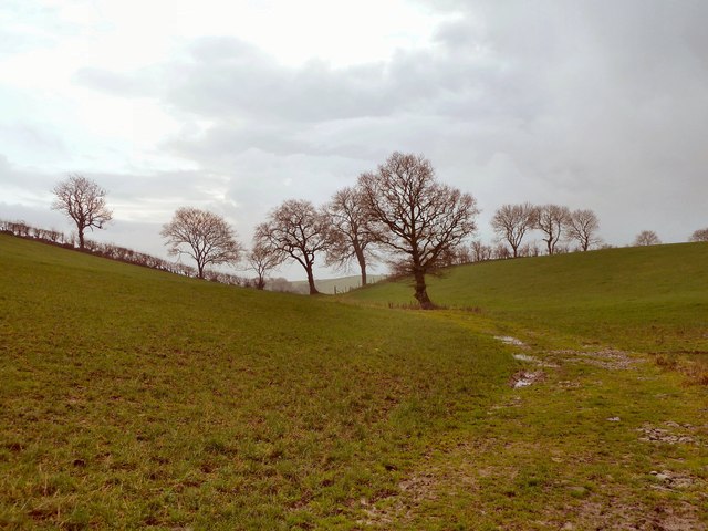
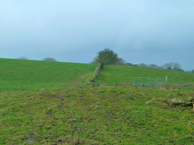
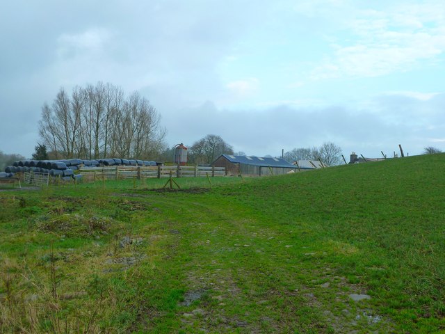
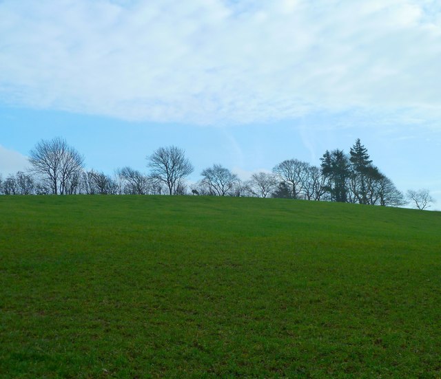
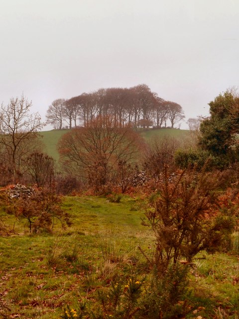
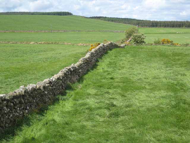
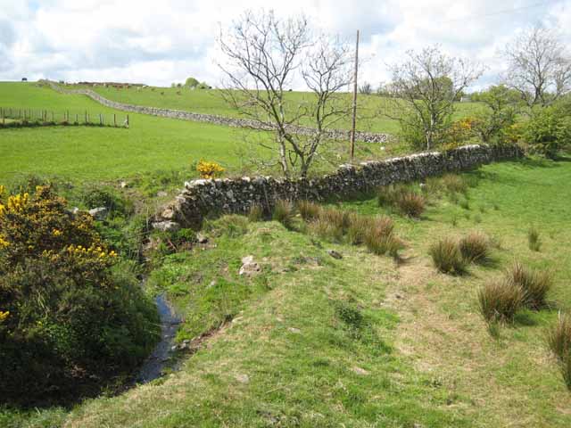
Auchleand Moor is a sprawling expanse of downs and moorland located in Wigtownshire, a historic county in southwestern Scotland. Covering an area of approximately 500 hectares, this natural wonder is known for its rugged beauty and diverse ecological significance.
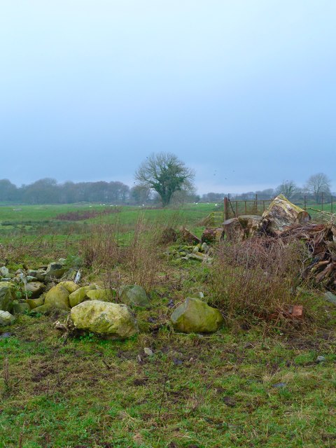
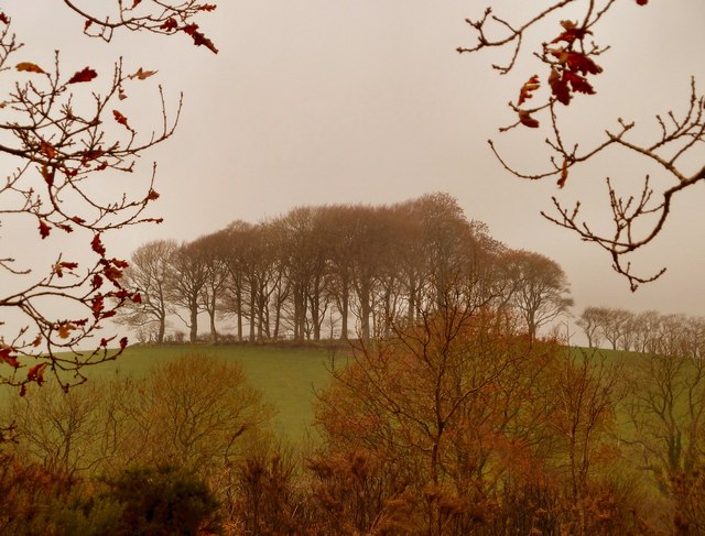
Situated at an elevation of around 200 meters above sea level, Auchleand Moor boasts a rich mosaic of habitats, including heather moorland, grassland, and scattered woodland. These varying landscapes provide a haven for a wide range of flora and fauna, making it a popular destination for nature enthusiasts and conservationists alike.
The moorland is characterized by its distinctive purple hue, which comes alive during the summer months when the heather blooms into a vibrant display of color. These vibrant hues attract a plethora of bird species, including merlin, hen harriers, and short-eared owls, making Auchleand Moor a prime spot for birdwatching.
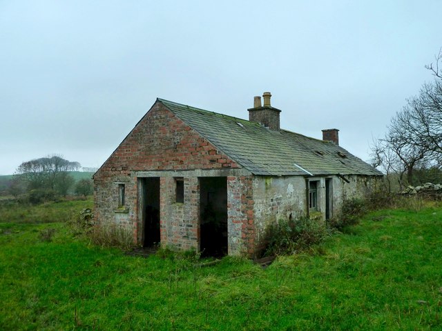
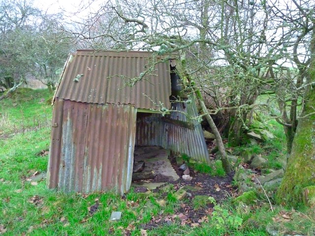
In addition to its ecological significance, the moorland also holds a wealth of archaeological and historical interest. Evidence of human activity dating back thousands of years has been discovered in the area, including the remains of prehistoric settlements and ancient burial sites.
Auchleand Moor offers visitors a chance to immerse themselves in the natural beauty of Wigtownshire while also providing educational opportunities to learn about the region's rich history and biodiversity. With its stunning vistas, diverse wildlife, and cultural significance, Auchleand Moor is a true gem of Scotland's natural heritage.
If you have any feedback on the listing, please let us know in the comments section below.
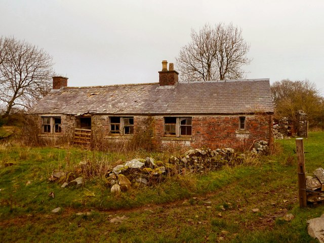
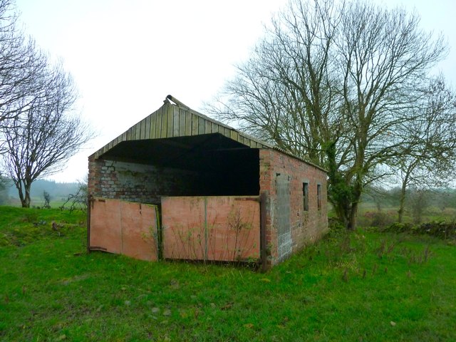
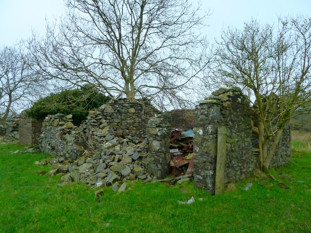
Auchleand Moor Images
Images are sourced within 2km of 54.892118/-4.4889324 or Grid Reference NX4058. Thanks to Geograph Open Source API. All images are credited.
Auchleand Moor is located at Grid Ref: NX4058 (Lat: 54.892118, Lng: -4.4889324)
Unitary Authority: Dumfries and Galloway
Police Authority: Dumfries and Galloway
What 3 Words
///padding.creatures.broads. Near Newton Stewart, Dumfries & Galloway
Nearby Locations
Related Wikis

Causeway End railway station
Causeway End (NX 42047 59602) or Causwayend was a railway station on the Wigtownshire Railway branch line, from Newton Stewart to Whithorn, of the Portpatrick...

Torhouse
The Standing Stones of Torhouse (also Torhousekie) are a stone circle of nineteen granite boulders on the land of Torhouse, three miles west of Wigtown...

Mains of Penninghame Platform railway station
Mains of Penninghame Platform railway station (NX410617) was a halt on the Wigtownshire Railway branch line, from Newton Stewart to Whithorn, of the Portpatrick...
Wigtown & Bladnoch F.C.
Wigtown & Bladnoch Football Club are a football club from the town of Wigtown in the Dumfries and Galloway area of Scotland, who play in the South of Scotland...
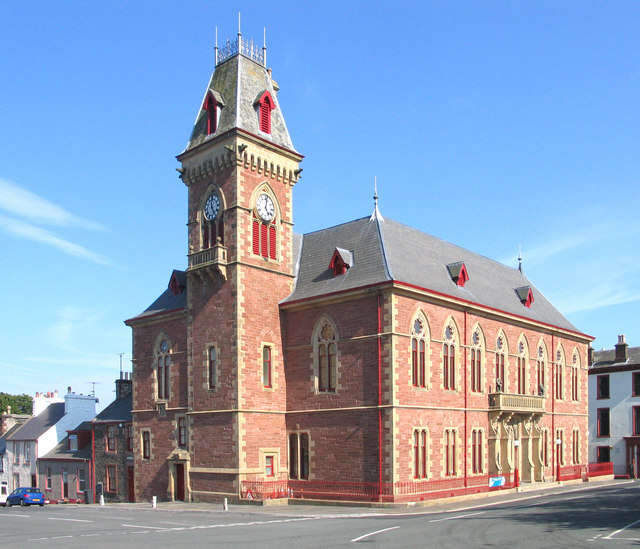
Wigtown County Buildings
Wigtown County Buildings, also known as Wigtown County Buildings and Town Hall, is a municipal building in The Square, Wigtown, Scotland. The structure...

Wigtown
Wigtown ( (both used locally); Scottish Gaelic: Baile na h-Ùige) is a town and former royal burgh in Wigtownshire, of which it is the county town, within...
Blackfriars, Wigtown
The Church of the Friars Preachers of the Annunciation of the Blessed Virgin Mary at Wigtown, commonly called Blackfriars, was a mendicant friary of the...

Bladnoch Distillery and Visitor Centre
Bladnoch distillery is a single malt Scotch whisky distillery in south west Scotland. It is one of six remaining Lowland distilleries, located at Bladnoch...
Nearby Amenities
Located within 500m of 54.892118,-4.4889324Have you been to Auchleand Moor?
Leave your review of Auchleand Moor below (or comments, questions and feedback).