Galsworthy Moor

Downs, Moorland in Devon Torridge

England

Galsworthy Moor

Barley near Bulkworthy With wind turbines in <a href="https://www.geograph.org.uk/gridref/SS4015">SS4015</a>; the nearest is on Eastacott Moor.
Barley near Bulkworthy Credit: Derek Harper

Galsworthy Moor is a picturesque area located in the county of Devon, England. Situated on the outskirts of the village of Galsworthy, this enchanting moorland is a popular destination for nature lovers and outdoor enthusiasts.

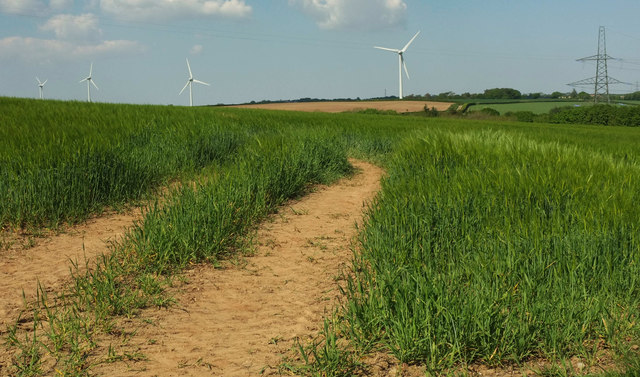
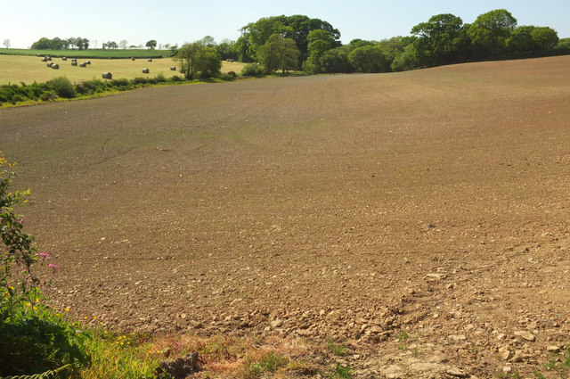
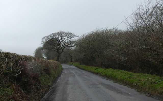
Covering an expansive area of rolling hills and open grasslands, Galsworthy Moor offers a diverse landscape that is a haven for wildlife. The moor is characterized by its heather-covered slopes, scattered granite boulders, and meandering streams that add to its natural beauty.

The area is home to a wide variety of animal species, including ponies, deer, and numerous bird species. It is not uncommon to spot grazing cattle or wild ponies as you explore the moorland. The abundance of wildlife and diverse flora make Galsworthy Moor an excellent location for birdwatching and nature photography.

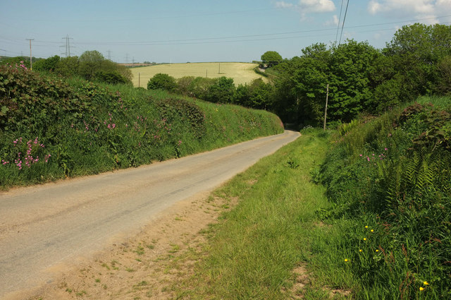
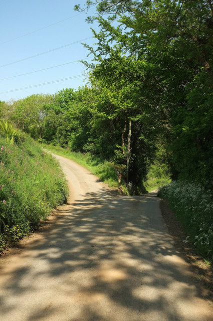
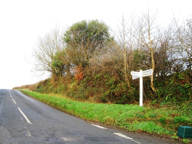
The moorland is crisscrossed by a network of footpaths, making it an ideal destination for hikers and walkers. Visitors can enjoy leisurely strolls through the moor, taking in the breathtaking views of the surrounding countryside. The area is also a popular spot for picnicking, with many designated areas offering scenic vistas.

Galsworthy Moor is a place of tranquility and natural beauty, providing a welcome escape from the hustle and bustle of city life. It is a must-visit destination for those seeking to immerse themselves in the rugged charm of Devon's countryside.

If you have any feedback on the listing, please let us know in the comments section below.

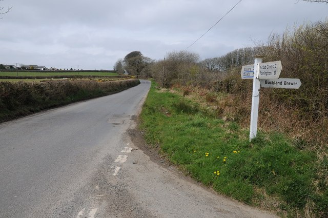
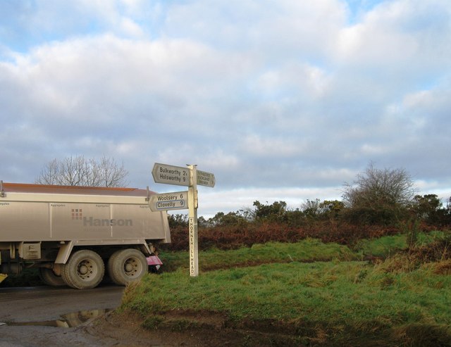
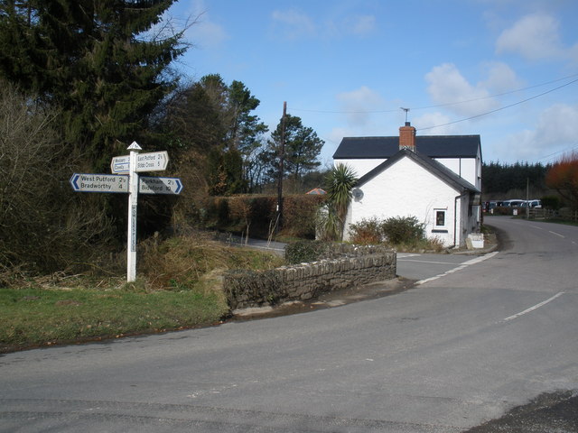
Galsworthy Moor Images

Images are sourced within 2km of 50.919085/-4.2703185 or Grid Reference SS4015. Thanks to Geograph Open Source API. All images are credited.

Barley near Bulkworthy With wind turbines in <a href="https://www.geograph.org.uk/gridref/SS4015">SS4015</a>; the nearest is on Eastacott Moor.
Barley near Bulkworthy
With wind turbines in SS4015; the nearest is on Eastacott Moor.
Tilled field northeast of Bulkworthy Looking to the left from where <a href="https://www.geograph.org.uk/photo/5803668">SS4014 : Tilled field northeast of Bulkworthy</a> was taken, showing the lower part of the field where it borders a stream and a small wood.
Tilled field northeast of Bulkworthy
Looking to the left from where SS4014 : Tilled field northeast of Bulkworthy was taken, showing the lower part of the field where it borders a stream and a small wood.
Lane from Bulkworthy <a href="https://www.geograph.org.uk/photo/5790627">SS3914 : Barley near Bulkworthy</a> was taken across the lane from here. As the lane drops into the wooded valley of Cleave Lake, it forks. The two branches both lead up to the road between Thorne Moor and Downmoor Cross.
Lane from Bulkworthy
SS3914 : Barley near Bulkworthy was taken across the lane from here. As the lane drops into the wooded valley of Cleave Lake, it forks. The two branches both lead up to the road between Thorne Moor and Downmoor Cross.
Fork in the lane from Bulkworthy The right fork drops quickly to cross Cleave Lake and climb steeply up the far valley side, while the left fork briefly follows the stream through woodland.
Fork in the lane from Bulkworthy
The right fork drops quickly to cross Cleave Lake and climb steeply up the far valley side, while the left fork briefly follows the stream through woodland.
Contrasting hedges near Collingsdown Neatly trimmed one side, not so neat opposite
Contrasting hedges near Collingsdown
Neatly trimmed one side, not so neat opposite
Collingsdown Cross, road junction
The farmhouse at Town Farm Bulkworthy
St Michael's Church Bulkworthy Dating from C15 and restored in 1874.  Grade II* Listed <span class="nowrap"><a title="http://list.english-heritage.org.uk/resultsingle.aspx?uid=1104977&searchtype=mapsearch" rel="nofollow ugc noopener" href="http://list.english-heritage.org.uk/resultsingle.aspx?uid=1104977&searchtype=mapsearch">Link</a><img style="margin-left:2px;" alt="External link" title="External link - shift click to open in new window" src="https://s1.geograph.org.uk/img/external.png" width="10" height="10"/></span>
St Michael's Church Bulkworthy
Dating from C15 and restored in 1874. Grade II* Listed LinkExternal link
Road junction near Collingsdown
Bulkworthy Church Another Devon location where my BLIGHT ancestors came from.
Bulkworthy Church
Another Devon location where my BLIGHT ancestors came from.
Stowford Cross A lovely rural picture, the combination of a typical Devon signpost complemented by a post box.
Stowford Cross
A lovely rural picture, the combination of a typical Devon signpost complemented by a post box.
Eastacott Farm
Eastacott Farm
Entrance to Waffapool Farm
Culm Grassland Management at Stowford Moor Nature Reserve Devon Wildlife Trust staff undertake a controlled burning as part of the culm grassland management cycle.
Culm Grassland Management at Stowford Moor Nature Reserve
Devon Wildlife Trust staff undertake a controlled burning as part of the culm grassland management cycle.
The church of St Michael and All Saints, Bulkworthy This has an unusual design; the porch is built into the south aisle, and over it is the priest's chamber accessed via an outside staircase. The bellcote with two bells is supported by twin buttresses, almost hiding the narrow west window. The church was built by Sir William Handford, Chief Justice of the King's Bench, between 1414 and 1442.
The church of St Michael and All Saints, Bulkworthy
This has an unusual design; the porch is built into the south aisle, and over it is the priest's chamber accessed via an outside staircase. The bellcote with two bells is supported by twin buttresses, almost hiding the narrow west window. The church was built by Sir William Handford, Chief Justice of the King's Bench, between 1414 and 1442.
Churchyard and lane, Bulkworthy The churchyard is high up above the lane.
Churchyard and lane, Bulkworthy
The churchyard is high up above the lane.
Gateway into a field on Collingsdown
Thornehill Head, road junction
Show me another place!

Galsworthy Moor is located at Grid Ref: SS4015 (Lat: 50.919085, Lng: -4.2703185)

Administrative County: Devon

District: Torridge

Police Authority: Devon and Cornwall

What 3 Words

///steadier.keen.scorecard. Near Great Torrington, Devon

Related Wikis

Newton St Petrock

Newton St Petrock is an ecclesiastical and civil parish in the Torridge district of Devon in England, occupying approximately 1,500 acres (6.1 km2). The...

Stibb Cross

Stibb Cross is a small village in north Devon, England. It is included in the civil parish of Langtree and is located about one mile from that village...

Hembury Castle, Tythecott

Hembury Castle is an Iron Age Hill fort situated close to Tythecott, south of Buckland Brewer in Devon. The fort is situated on a promontory off the East...

Torridge District

Torridge is a local government district in north-west Devon, England. Its council is based in the town of Bideford. The district also includes the towns...

Bulkworthy

Bulkworthy is a village and civil parish in the Torridge district of Devon, England, about 9 miles southwest of Great Torrington, and on the River Torridge...

Abbots Bickington

Abbots Bickington is a village and civil parish in the English county of Devon, located 7.7 mi (12.4 km) north-northeast of Holsworthy and near the River...

West Putford

West Putford is a small settlement and civil parish in the local government district of Torridge, Devon, England. The parish, which lies about 8.5 miles...

East Putford

East Putford is a small settlement and civil parish in the local government district of Torridge, Devon, England. The parish, which lies about halfway...

Related Videos

Thatchers island carp fishery winter update 2022

Thatchers island carp fishery winter update 2022.

5 Tips and Info on How to Catch More Carp This Winter

5 Tips and Info on How to Catch More Carp This Winter Carp Fishing Thatchers Island Carp Fishery.

Nearby Amenities

Located within 500m of 50.919085,-4.2703185
Generator Method: wind_turbine
Generator Source: wind
Generator Type: horizontal_axis
Power: generator
Lat/Long: 50.921488/-4.2730874
Generator Method: wind_turbine
Generator Source: wind
Generator Type: horizontal_axis
Power: generator
Lat/Long: 50.9168955/-4.2724061
Eastacott Moor
Place: locality
Lat/Long: 50.9153657/-4.2728922
Galsworthy Moor
Locality: place
Lat/Long: 50.9188415/-4.2689896
Power: pole
Source: bing
Lat/Long: 50.9211934/-4.2651281
Power: pole
Source: bing
Lat/Long: 50.9206684/-4.2639425
Power: pole
Source: bing
Lat/Long: 50.9227177/-4.2686284
Power: pole
Source: bing
Lat/Long: 50.9217133/-4.2663217
Power: pole
Source: bing
Lat/Long: 50.9222375/-4.2675179
Power: pole
Source: bing
Lat/Long: 50.9229425/-4.2666784
The data included in this document is from www.openstreetmap.org. The data is made available under ODbL.

Have you been to Galsworthy Moor?

Leave your review of Galsworthy Moor below (or comments, questions and feedback).