Drumlane Hill
Hill, Mountain in Wigtownshire
Scotland
Drumlane Hill
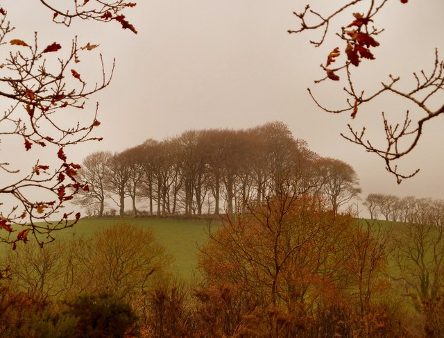
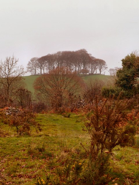
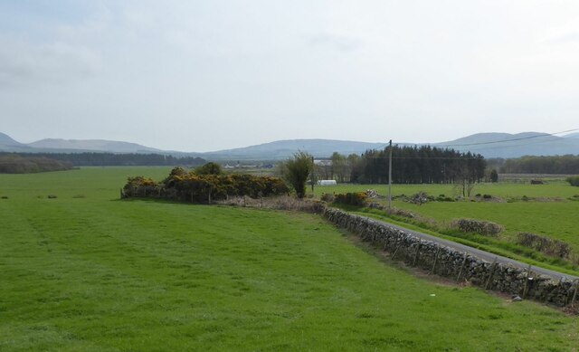
Drumlane Hill is a prominent geographical feature located in Wigtownshire, Scotland. Standing at an elevation of approximately 300 meters (984 feet), it is classified as a hill rather than a mountain. Situated in the southern part of Wigtownshire, Drumlane Hill is part of the Galloway Hills, a range renowned for its scenic beauty and rugged landscape.
The hill is characterized by its distinctive shape, with a gentle slope on the southern side and a steeper, craggy northern face. It is primarily composed of granite, which gives it a striking appearance and provides a solid foundation for the surrounding terrain. The hill's summit offers magnificent panoramic views of the surrounding countryside, with rolling hills, farmland, and nearby Loch Ryan visible in the distance.
Drumlane Hill is a popular destination for outdoor enthusiasts, attracting hikers, walkers, and nature lovers throughout the year. Its well-maintained trails provide access to the hill's summit, allowing visitors to enjoy the breathtaking vistas and observe the local flora and fauna. The area is rich in biodiversity, with a variety of plant and animal species thriving in the hill's diverse ecosystems.
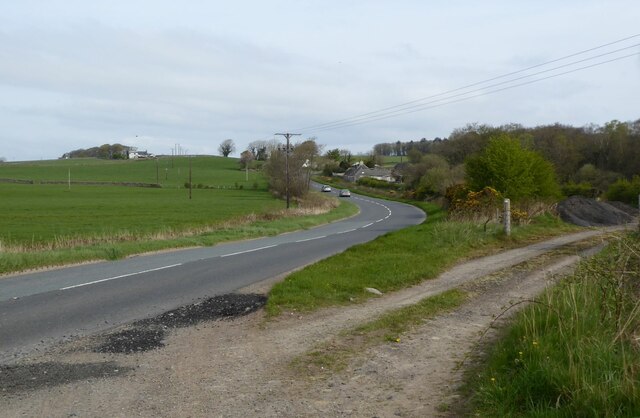
Due to its location in Wigtownshire, Drumlane Hill is conveniently accessible from nearby towns and villages, such as Stranraer and Glenluce. Its close proximity to Loch Ryan and the coastline also makes it an ideal spot for those interested in combining hillwalking with coastal exploration.
Overall, Drumlane Hill offers a captivating blend of natural beauty, recreational opportunities, and historical significance, making it a must-visit destination for both locals and tourists alike.
If you have any feedback on the listing, please let us know in the comments section below.
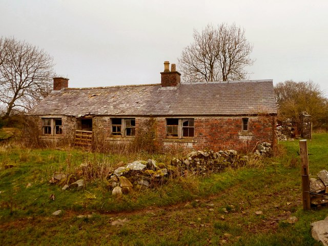
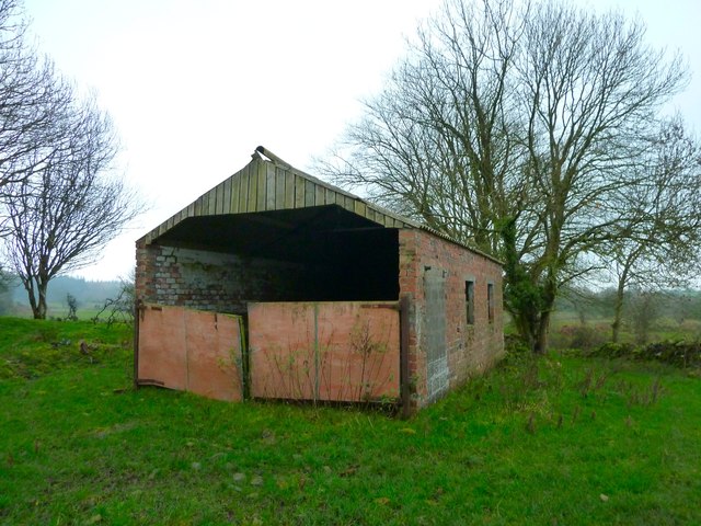
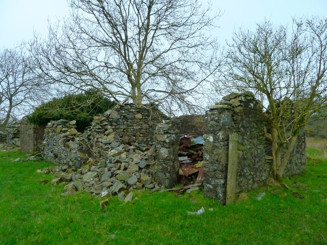
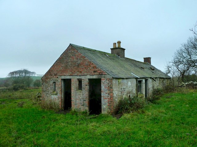
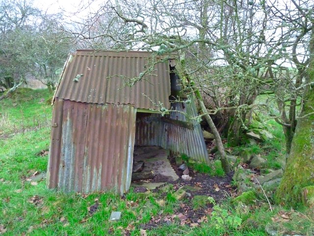
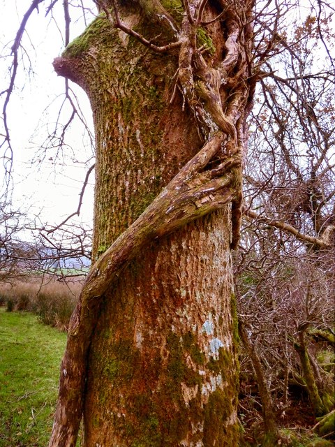
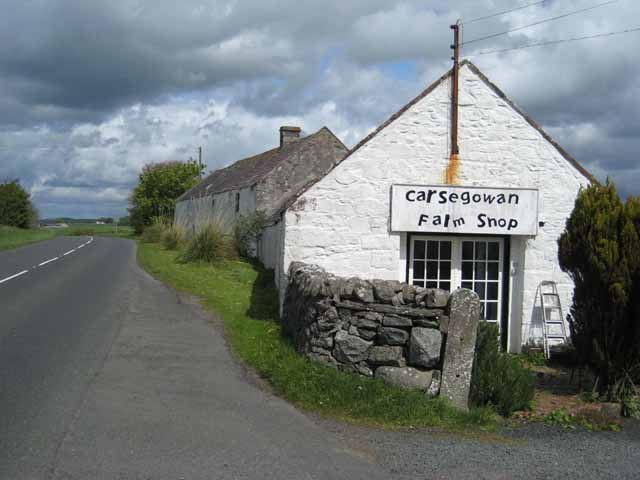
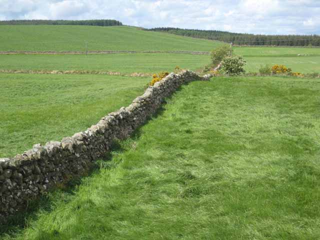
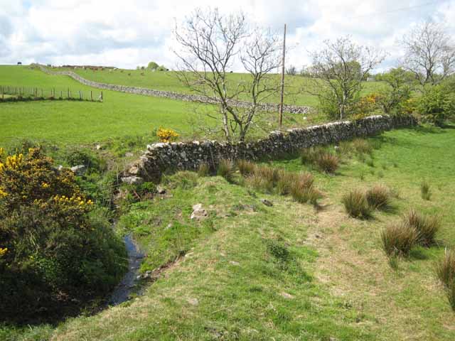
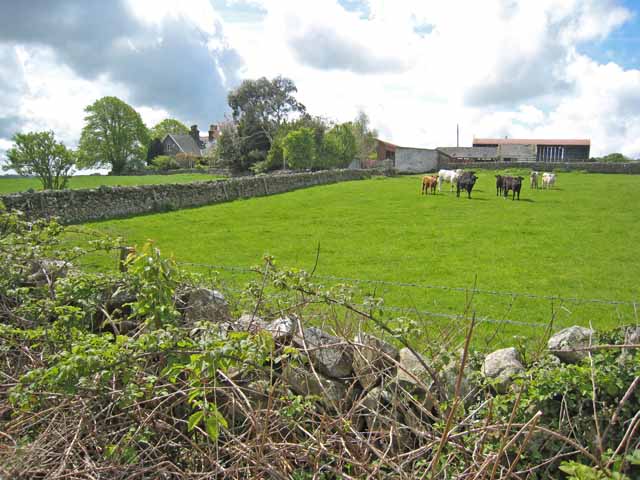
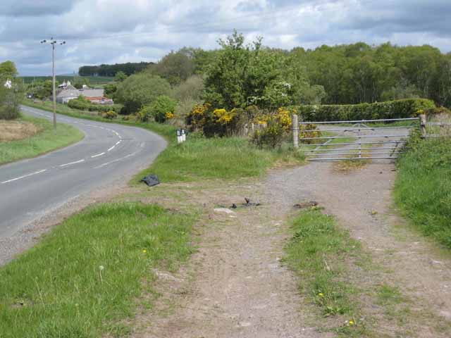
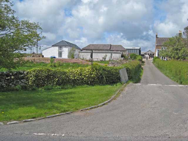
Drumlane Hill Images
Images are sourced within 2km of 54.896056/-4.4844963 or Grid Reference NX4058. Thanks to Geograph Open Source API. All images are credited.
Drumlane Hill is located at Grid Ref: NX4058 (Lat: 54.896056, Lng: -4.4844963)
Unitary Authority: Dumfries and Galloway
Police Authority: Dumfries and Galloway
What 3 Words
///doped.releasing.lure. Near Newton Stewart, Dumfries & Galloway
Nearby Locations
Related Wikis

Causeway End railway station
Causeway End (NX 42047 59602) or Causwayend was a railway station on the Wigtownshire Railway branch line, from Newton Stewart to Whithorn, of the Portpatrick...

Mains of Penninghame Platform railway station
Mains of Penninghame Platform railway station (NX410617) was a halt on the Wigtownshire Railway branch line, from Newton Stewart to Whithorn, of the Portpatrick...

Torhouse
The Standing Stones of Torhouse (also Torhousekie) are a stone circle of nineteen granite boulders on the land of Torhouse, three miles west of Wigtown...
Wigtown & Bladnoch F.C.
Wigtown & Bladnoch Football Club are a football club from the town of Wigtown in the Dumfries and Galloway area of Scotland, who play in the South of Scotland...

Wigtown
Wigtown ( (both used locally); Scottish Gaelic: Baile na h-Ùige) is a town and former royal burgh in Wigtownshire, of which it is the county town, within...
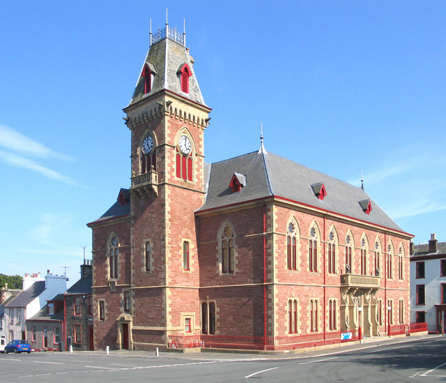
Wigtown County Buildings
Wigtown County Buildings, also known as Wigtown County Buildings and Town Hall, is a municipal building in The Square, Wigtown, Scotland. The structure...
Blackfriars, Wigtown
The Church of the Friars Preachers of the Annunciation of the Blessed Virgin Mary at Wigtown, commonly called Blackfriars, was a mendicant friary of the...

Bladnoch, Wigtownshire
Bladnoch (Scottish Gaelic: Blaidneach) is a small village on the River Bladnoch in Wigtownshire, Scotland, located just outside the county town of Wigtown...
Nearby Amenities
Located within 500m of 54.896056,-4.4844963Have you been to Drumlane Hill?
Leave your review of Drumlane Hill below (or comments, questions and feedback).