Blairmount Park
Downs, Moorland in Wigtownshire
Scotland
Blairmount Park
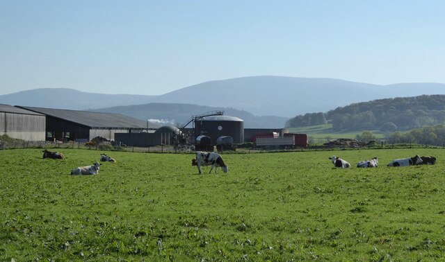
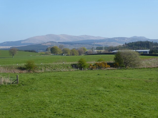
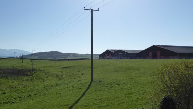
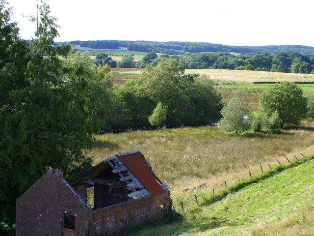
Blairmount Park is a stunning natural area located in Wigtownshire, Scotland. Known for its picturesque downs and expansive moorland, it offers visitors a truly remarkable experience. With an area spanning several acres, the park is a haven for nature enthusiasts and outdoor adventurers.
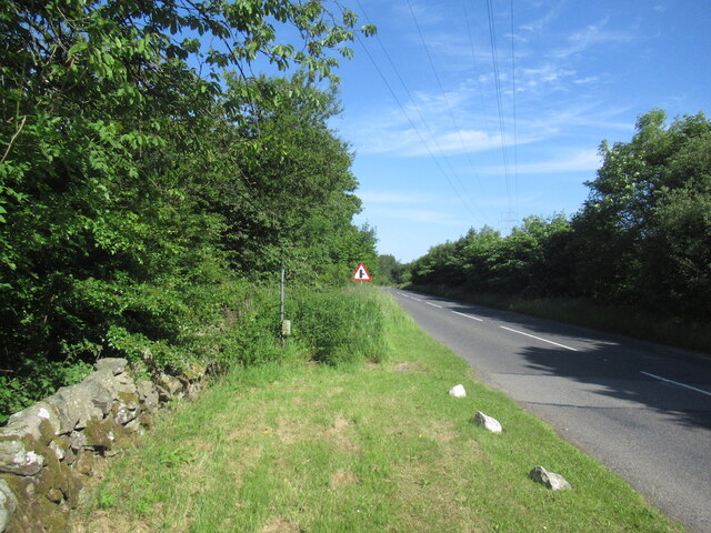
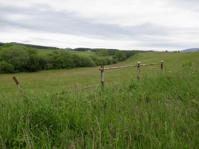
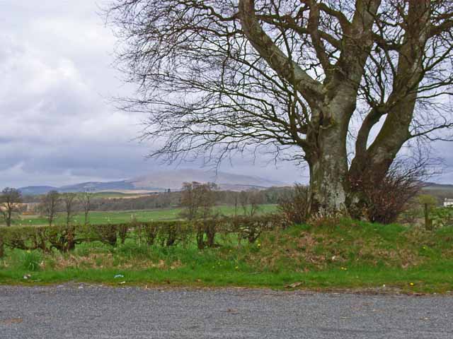
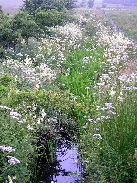
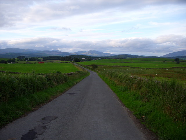
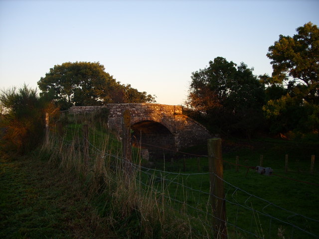
The downs in Blairmount Park are characterized by rolling hills, offering breathtaking views of the surrounding countryside. These open grasslands are home to a diverse range of flora and fauna, making it a popular spot for birdwatching and wildlife spotting. Visitors can expect to see species such as skylarks, meadow pipits, and hares in their natural habitat.
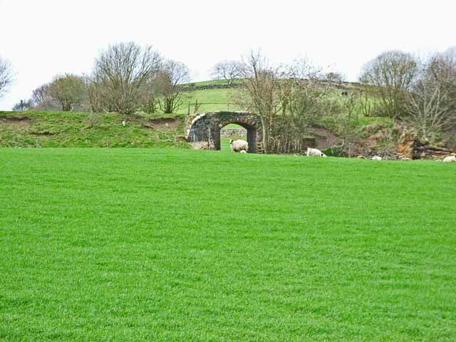
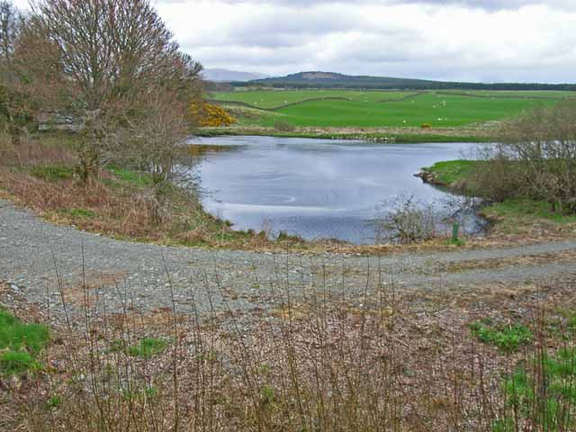
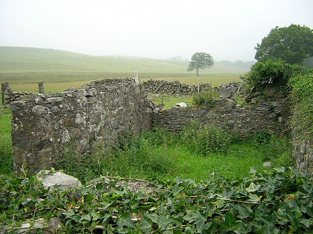
The moorland in Blairmount Park is a sight to behold, with its vast expanse of heather-covered hills. This unique landscape provides a peaceful and serene environment, perfect for walking, hiking, and exploring. The moorland is dotted with ancient stone circles and standing stones, offering a glimpse into the area's rich history and heritage.
Blairmount Park also boasts a network of well-maintained walking trails, allowing visitors to fully immerse themselves in the beauty of the surroundings. These trails cater to various fitness levels and offer stunning panoramic views of the countryside.
For those seeking a tranquil escape from the hustle and bustle of everyday life, Blairmount Park is the ideal destination. Its downs and moorland provide a serene backdrop for relaxation and contemplation, while its natural beauty and diverse wildlife make it a must-visit location for nature lovers.
If you have any feedback on the listing, please let us know in the comments section below.
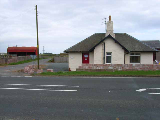
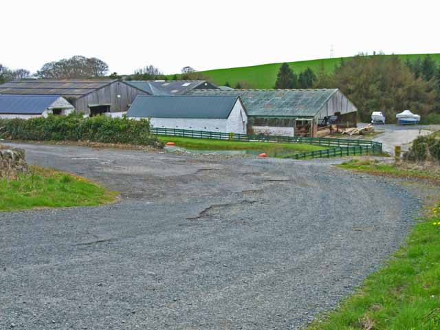
Blairmount Park Images
Images are sourced within 2km of 54.955946/-4.4965803 or Grid Reference NX4065. Thanks to Geograph Open Source API. All images are credited.
Blairmount Park is located at Grid Ref: NX4065 (Lat: 54.955946, Lng: -4.4965803)
Unitary Authority: Dumfries and Galloway
Police Authority: Dumfries and Galloway
What 3 Words
///swelling.decorated.passwords. Near Newton Stewart, Dumfries & Galloway
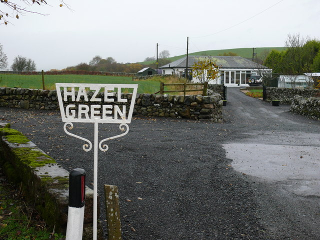
Nearby Locations
Related Wikis

Newton Stewart F.C.
Newton Stewart Football Club are a football club from the town of Newton Stewart in the Dumfries and Galloway area of Scotland. Formed in 1880, as Newton...

Newton Stewart
Newton Stewart (Gd: Baile Ùr nan Stiùbhartach) is a former burgh town in the historical county of Wigtownshire in Dumfries and Galloway, southwest Scotland...

Newton Stewart railway station
Newton Stewart railway station served the town of Newton Stewart, Dumfries and Galloway, Scotland from 1861 to 1965 on the Portpatrick and Wigtownshire...

Newton Stewart Hospital
Newton Stewart Hospital is a health facility in Newton Stewart, Dumfries and Galloway, Scotland. It is managed by NHS Dumfries and Galloway. == History... ==
Related Videos
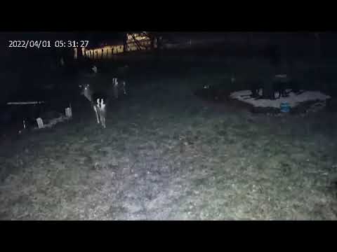
Night time visitors at Galloway Holiday Cottage #1
Fallow deer stags.

Newton Stewart Holiday Cottage Review - My Experience Staying Here
Have a look around the inside of the cottage and the views of the River Cree which are amazing from each room. This lovely ...

Night time visitors at Galloway Holiday Cottage #4
Fallow deer stag.

Fallow doe surprise at Galloway Holiday Cottage
Fallow deer.
Nearby Amenities
Located within 500m of 54.955946,-4.4965803Have you been to Blairmount Park?
Leave your review of Blairmount Park below (or comments, questions and feedback).