Doon Hill Plantation

Wood, Forest in Wigtownshire

Scotland

Doon Hill Plantation

East Knockbrex Large farm with prominent slurry tank!
East Knockbrex Credit: Russel Wills

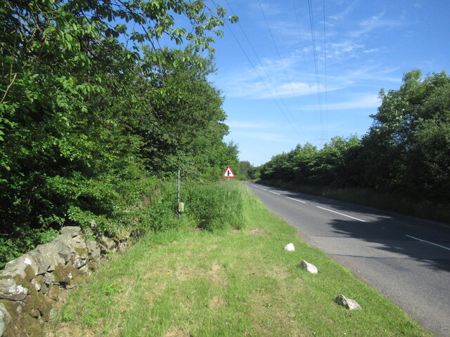
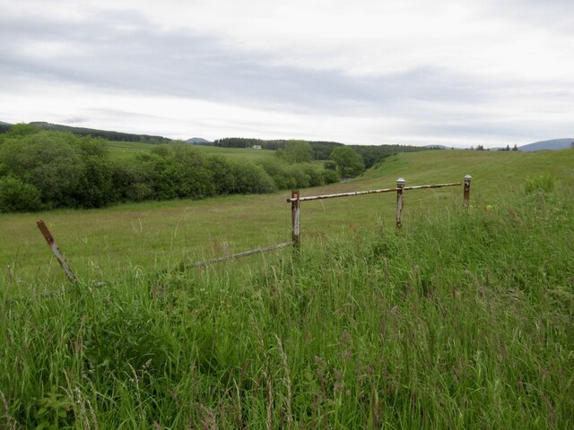
Doon Hill Plantation is a picturesque woodland area located in Wigtownshire, Scotland. Covering an expansive area, it is known for its dense and diverse collection of trees, making it a popular destination for nature enthusiasts and hikers alike.

The plantation boasts an array of tree species, including oak, beech, pine, and birch, creating a vibrant and vibrant environment throughout the year. The tall, majestic trees provide ample shade and shelter, creating a tranquil atmosphere for visitors to explore and enjoy.

The woodland is also home to a variety of wildlife, with numerous bird species such as woodpeckers, owls, and thrushes making their nests within the canopy. Squirrels can be seen scurrying through the branches, and if lucky, visitors may even spot deer grazing in the more secluded areas.

Doon Hill Plantation offers several well-maintained walking trails that wind through the woodland, providing stunning vistas and opportunities to discover the local flora and fauna. These trails cater to all levels of fitness, with options for leisurely strolls or more challenging hikes.

In addition to its natural beauty, Doon Hill Plantation holds historical significance. It is believed to have been a meeting place for witches during the 17th century, and a replica of a witch's coven has been erected on the site, adding an intriguing touch to the woodland's allure.

Overall, Doon Hill Plantation in Wigtownshire is a captivating destination for those seeking a serene and enchanting woodland experience. With its diverse tree species, abundant wildlife, and historical charm, it offers a delightful escape into nature.

If you have any feedback on the listing, please let us know in the comments section below.

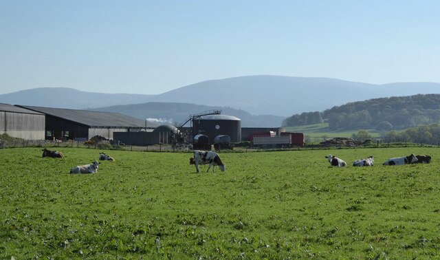
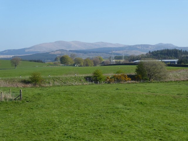
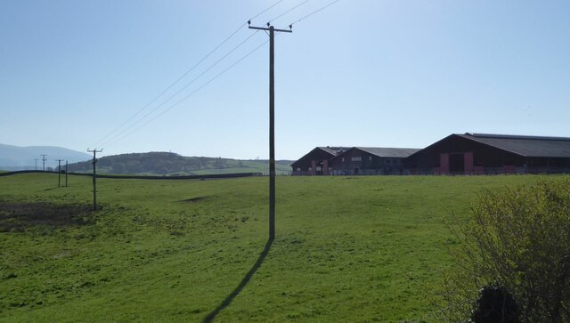
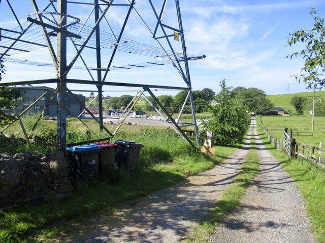
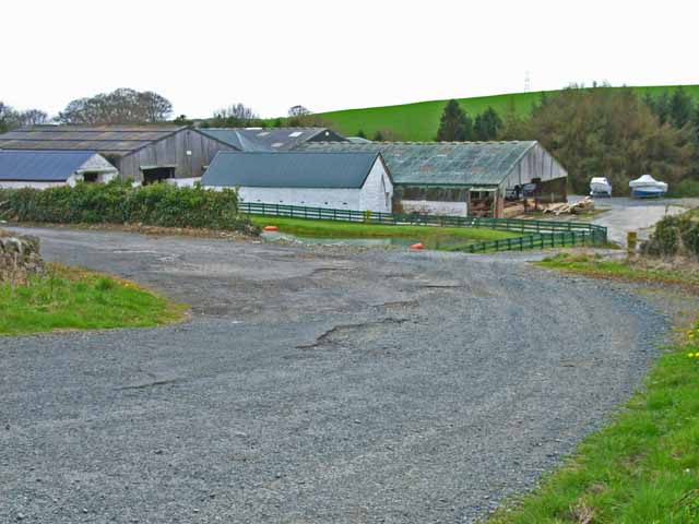
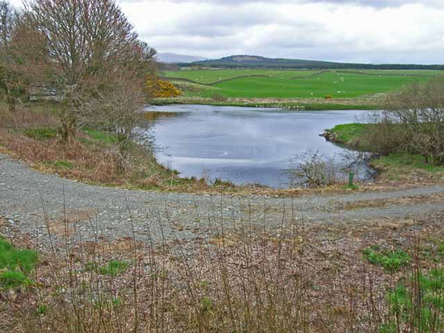
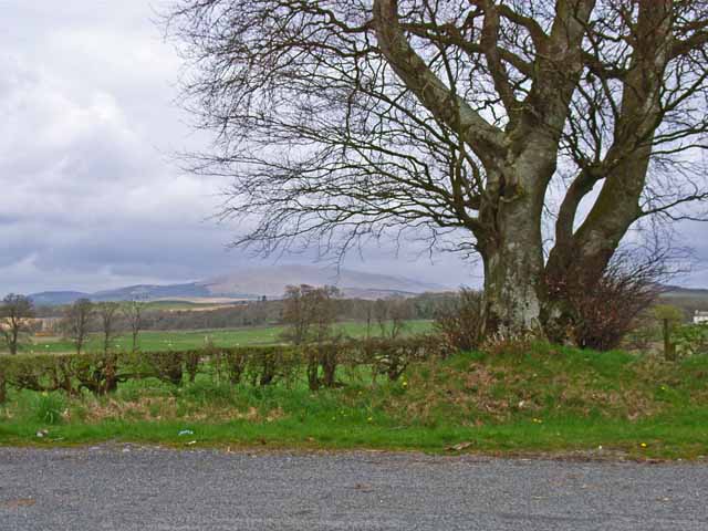
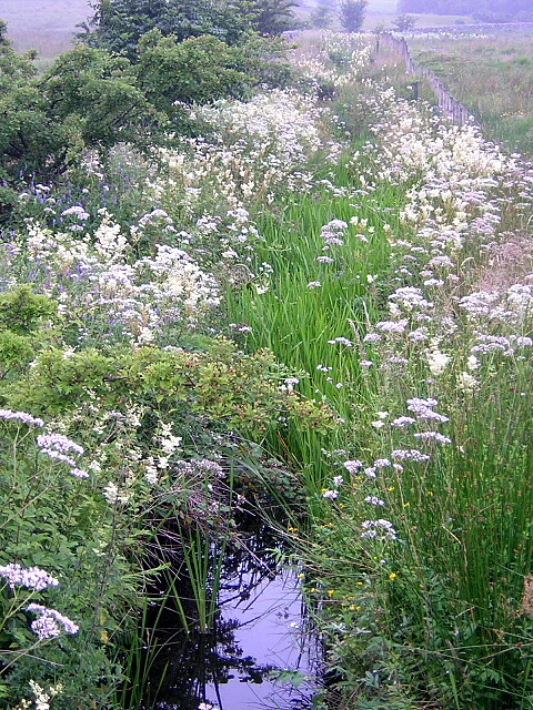
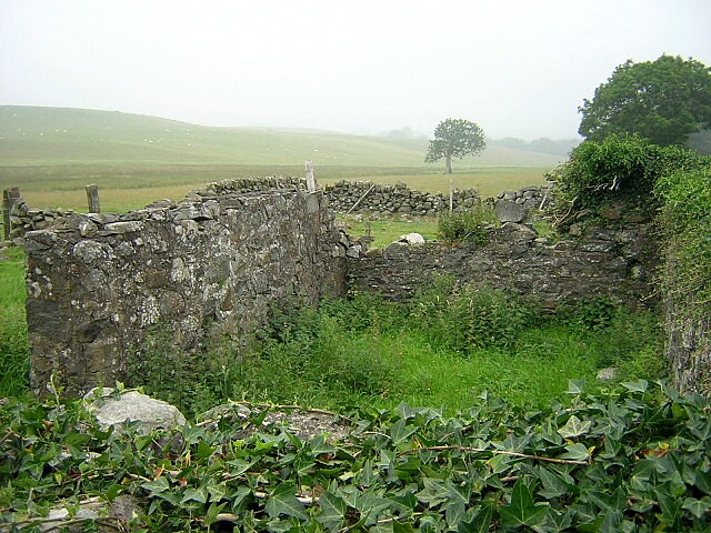
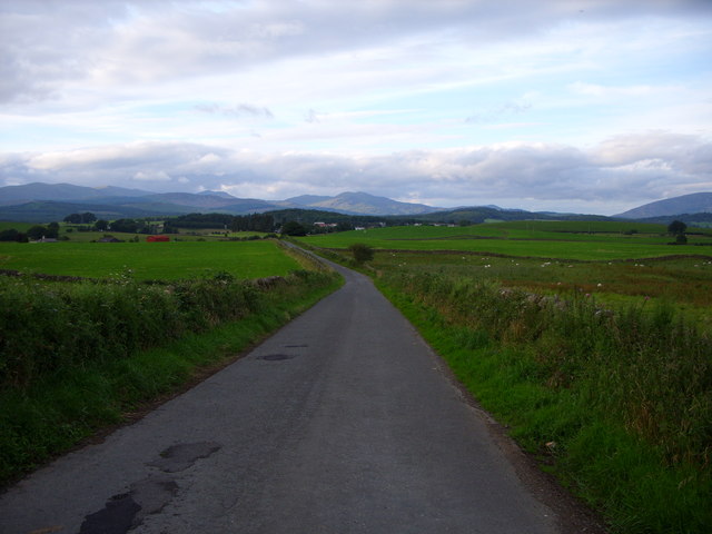
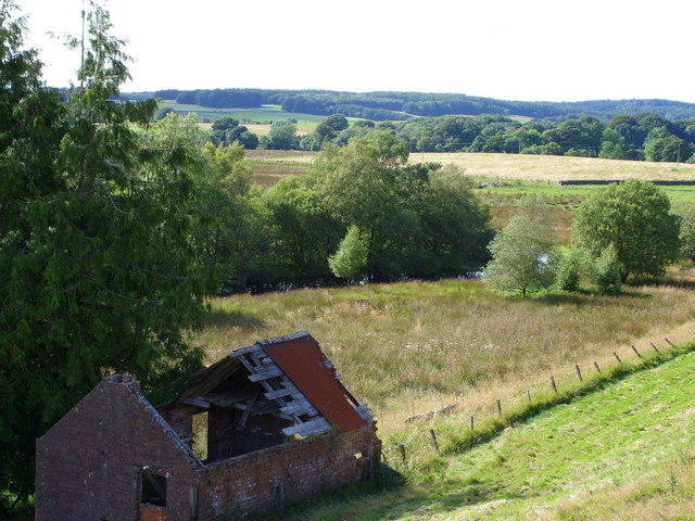
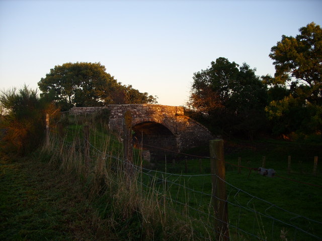
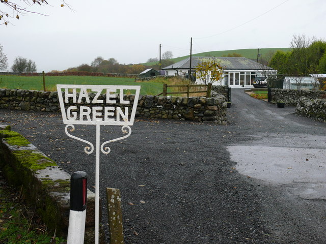
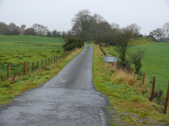
Doon Hill Plantation Images

Images are sourced within 2km of 54.956181/-4.4938926 or Grid Reference NX4065. Thanks to Geograph Open Source API. All images are credited.

East Knockbrex Large farm with prominent slurry tank!
East Knockbrex
Large farm with prominent slurry tank!
Pylons across the grassland High Barbuchany is hidden in the dip.
Kirroughtree Forest in the distance.
Pylons across the grassland
High Barbuchany is hidden in the dip. Kirroughtree Forest in the distance.
Electricity poles At East Knockbrex.
Electricity poles
At East Knockbrex.
Driveway, Beechbank
Driveway, Beechbank
Road west of Newton Stewart A ready made bypass between the A75 and road to Girvan.
Road west of Newton Stewart
A ready made bypass between the A75 and road to Girvan.
Fields beside the Cree View from the Girvan to Newton Stewart road.
Fields beside the Cree
View from the Girvan to Newton Stewart road.
Minor road near Newton Stewart Closed today for service for the Roger Albert Clark Rally 2023.
Minor road near Newton Stewart
Closed today for service for the Roger Albert Clark Rally 2023.
Knockbrex Toll Old tollhouse on the A75
Knockbrex Toll
Old tollhouse on the A75
South Barnkirk This farm now appears to serve as a timber yard
South Barnkirk
This farm now appears to serve as a timber yard
Bend in the River Cree
View of the Cairnsmore of Fleet from the layby on the A714
Challoch Burn
Challoch Burn
Ruin Near Challoch Burn
Knockbrex road looking towards Newton Stewart
Barnkirk Pond
Barnkirk Pond
West Knockbrex  Bridge The Bridge runs over the old railway line
West Knockbrex Bridge
The Bridge runs over the old railway line
Hazel Green View of this bungalow off the A75, although OS Mapping calls this area Hazlie Green.
Hazel Green
View of this bungalow off the A75, although OS Mapping calls this area Hazlie Green.
Knockbrex Toll View along this small road off the A75 that leads to West Knockbrex.
Knockbrex Toll
View along this small road off the A75 that leads to West Knockbrex.
Show me another place!

Doon Hill Plantation is located at Grid Ref: NX4065 (Lat: 54.956181, Lng: -4.4938926)

Unitary Authority: Dumfries and Galloway

Police Authority: Dumfries and Galloway

What 3 Words

///solar.repaying.asserts. Near Newton Stewart, Dumfries & Galloway

Related Wikis

Newton Stewart F.C.

Newton Stewart Football Club are a football club from the town of Newton Stewart in the Dumfries and Galloway area of Scotland. Formed in 1880, as Newton...

Newton Stewart

Newton Stewart (Gd: Baile Ùr nan Stiùbhartach) is a former burgh town in the historical county of Wigtownshire in Dumfries and Galloway, southwest Scotland...

Newton Stewart railway station

Newton Stewart railway station served the town of Newton Stewart, Dumfries and Galloway, Scotland from 1861 to 1965 on the Portpatrick and Wigtownshire...

Douglas Ewart High School

Douglas Ewart High School was opened in 1922 in Newton Stewart, Scotland. It was formed by the amalgamation of the Douglas Free School opened in 1834...

Nearby Amenities

Located within 500m of 54.956181,-4.4938926
Bus Stop
Elizabeth Cres
Naptan AtcoCode: 680000331333
Naptan Bearing: SW
Naptan CommonName: Elizabeth Cres
Naptan Indicator: opp no 8
Naptan Landmark: Doonhill Way
Naptan NaptanCode: 34236834
Naptan Notes: none
Naptan Street: Elizabeth Crescent
Naptan Verified: no
Source: naptan_import
Lat/Long: 54.9560061/-4.4900155
Elizabeth Cres
Naptan AtcoCode: 680000331444
Naptan Bearing: NE
Naptan BusStopType: CUS
Naptan CommonName: Elizabeth Cres
Naptan Indicator: no 8
Naptan Landmark: Doonhill Way
Naptan NaptanCode: 34236835
Naptan Notes: none
Naptan Street: Elizabeth Crescent
Naptan Verified: no
Source: naptan_import
Lat/Long: 54.9560968/-4.4899743
Bus Stop
Douglas Ewart
Naptan AtcoCode: 680000336222
Naptan Bearing: E
Naptan CommonName: Douglas Ewart
Naptan Indicator: School
Naptan Landmark: High School
Naptan NaptanCode: 34236832
Naptan Notes: none
Naptan Street: Crosbie Road
Naptan Verified: no
Source: naptan_import
Lat/Long: 54.9596373/-4.4895997
Bus Stop
Auchendoon Rd
Naptan AtcoCode: 680000336501
Naptan Bearing: NE
Naptan CommonName: Auchendoon Rd
Naptan Indicator: opp School
Naptan Landmark: Doonhill Way
Naptan NaptanCode: 34236826
Naptan Notes: none
Naptan Street: Auchendoon Road
Naptan Verified: no
Source: naptan_import
Lat/Long: 54.9572909/-4.4896107
Bus Stop
St Couans Rd
Naptan AtcoCode: 680000340222
Naptan Bearing: SE
Naptan BusStopType: CUS
Naptan CommonName: St Couans Rd
Naptan Indicator: Drew Ave
Naptan Landmark: Drew Avenue
Naptan NaptanCode: 34236837
Naptan Notes: none
Naptan Street: St Couans Road
Naptan Verified: no
Source: naptan_import
Lat/Long: 54.9527663/-4.4897526
Mini Roundabout
Lat/Long: 54.9525731/-4.4930506
Turning Circle
Source: bing
Lat/Long: 54.9577736/-4.4901133
Power: tower
Lat/Long: 54.9554402/-4.5009423
Power: tower
Lat/Long: 54.9533923/-4.498254
Power: tower
Lat/Long: 54.9535931/-4.4988359
Bus Stop
Elm Grove
Naptan AtcoCode: 680000333222
Naptan NaptanCode: 34236836
Lat/Long: 54.9563049/-4.4925055
Turning Circle
Source: bing
Lat/Long: 54.9563899/-4.4924298
Turning Circle
Source: bing
Lat/Long: 54.9593989/-4.4912556
Power: pole
Lat/Long: 54.9552898/-4.5015621
Newton Stewart
Abandoned Railway: station
Railway: site
Lat/Long: 54.9537255/-4.4908676
Give Way
Direction: backward
Lat/Long: 54.9553971/-4.4879875
Give Way
Direction: backward
Lat/Long: 54.9550883/-4.4896937
Give Way
Direction: forward
Lat/Long: 54.954923/-4.4903028
Give Way
Direction: forward
Lat/Long: 54.953168/-4.4920019
Defibrillator
Access: yes
Defibrillator Location: Newton Stewart Sorting & Delivery Office. St Couan's Road. External wall to right hand side of entrance.
Emergency: defibrillator
Indoor: no
Not Ref GB The Circuit: 1A9F828F-A18C-4FB1-8F03-AD9600EA4905
Source: survey
Lat/Long: 54.9536572/-4.4912788
Power: pole
Lat/Long: 54.9574365/-4.4980389
Power: pole
Lat/Long: 54.9576003/-4.4996551
Power: pole
Lat/Long: 54.9577139/-4.5008483
Power: pole
Lat/Long: 54.9572104/-4.5009899
Post Box
Collection Times: Mo-Fr 09:00; Sa 07:00
Operator: Royal Mail
Post Box Type: pillar
Ref: DG8 6D
Royal Cypher: scottish_crown
Lat/Long: 54.9525967/-4.4909801
Post Box
Collection Times: Mo-Fr 17:15; Sa 12:30
Operator: Royal Mail
Post Box Type: lamp
Ref: DG8 68
Lat/Long: 54.9536279/-4.4912276
Generator Method: photovoltaic
Generator Output Electricity: yes
Generator Source: solar
Generator Type: solar_photovoltaic_panel
Location: roof
Power: generator
Source: bing
Lat/Long: 54.9561253/-4.4922924
Generator Method: photovoltaic
Generator Output Electricity: yes
Generator Source: solar
Generator Type: solar_photovoltaic_panel
Location: roof
Power: generator
Lat/Long: 54.9569616/-4.491131
Generator Method: photovoltaic
Generator Output Electricity: yes
Generator Source: solar
Generator Type: solar_photovoltaic_panel
Location: roof
Power: generator
Source: bing
Lat/Long: 54.9588605/-4.4913697
The data included in this document is from www.openstreetmap.org. The data is made available under ODbL.

Have you been to Doon Hill Plantation?

Leave your review of Doon Hill Plantation below (or comments, questions and feedback).