Derry Hill
Hill, Mountain in Wigtownshire
Scotland
Derry Hill
Derry Hill is a prominent hill located in Wigtownshire, a historical county in southwestern Scotland. Rising to an elevation of approximately 267 meters (876 feet), it offers stunning panoramic views of the surrounding countryside and is a popular destination for hikers, nature enthusiasts, and photographers.
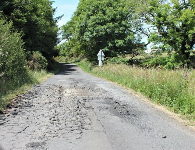
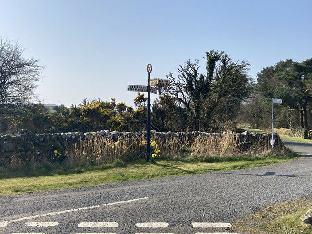
Situated to the northwest of the village of Dunragit, Derry Hill is part of a range of hills known as the Rhinns of Galloway. Its distinctive shape and lush green slopes make it easily recognizable from afar. The hill is composed of sedimentary rock layers, primarily sandstone and shale, which have been shaped by millions of years of erosion and glaciation.
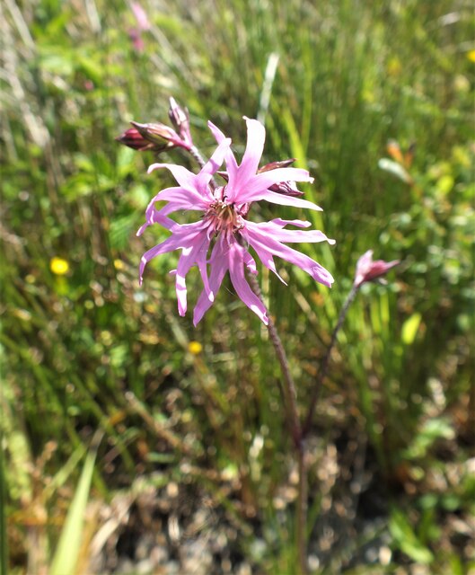
The ascent to Derry Hill can be challenging, as the terrain is steep in places, but a well-marked footpath makes it accessible to experienced walkers. The hill is home to a variety of flora and fauna, including heather, gorse, and various bird species, which add to its natural beauty.
At the summit, visitors are rewarded with breathtaking views of the surrounding landscape, including the rolling hills of Wigtownshire, the estuary of the River Cree, and on clear days, even glimpses of the distant Isle of Man.
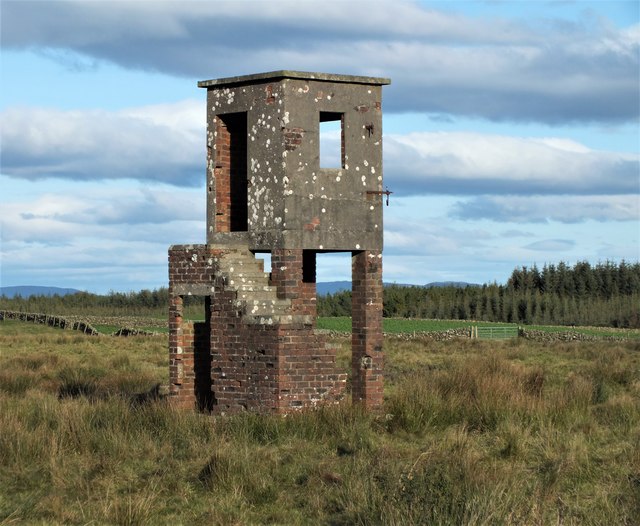
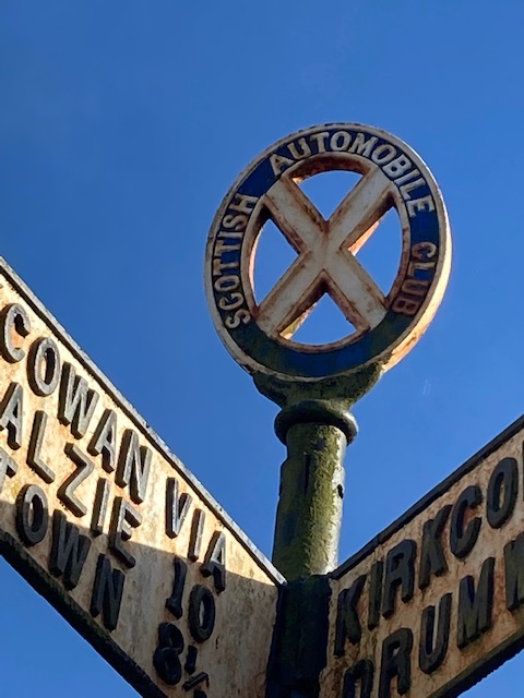
Derry Hill holds historical significance as well. It is believed that ancient settlements existed on its slopes, and artifacts dating back to prehistoric times have been discovered in the area. The hill's strategic location also played a role in the region's history, serving as a lookout point during conflicts and invasions.
Overall, Derry Hill is a picturesque and culturally significant landmark that offers visitors a chance to immerse themselves in the natural beauty and rich history of Wigtownshire.
If you have any feedback on the listing, please let us know in the comments section below.
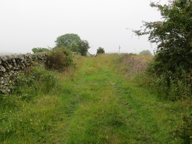
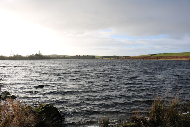
Derry Hill Images
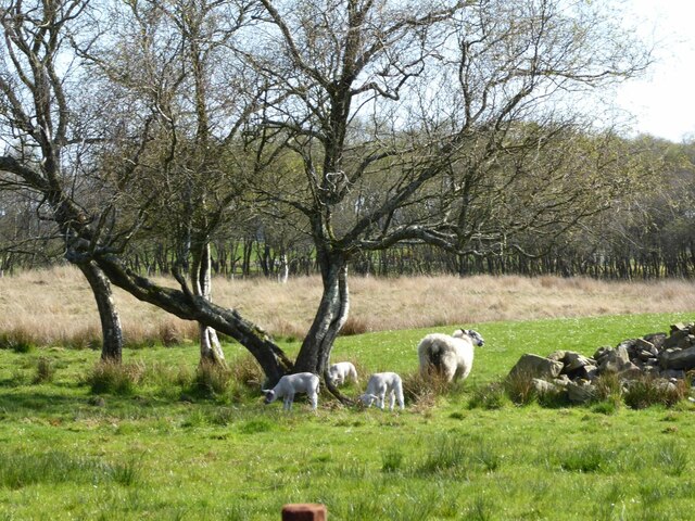
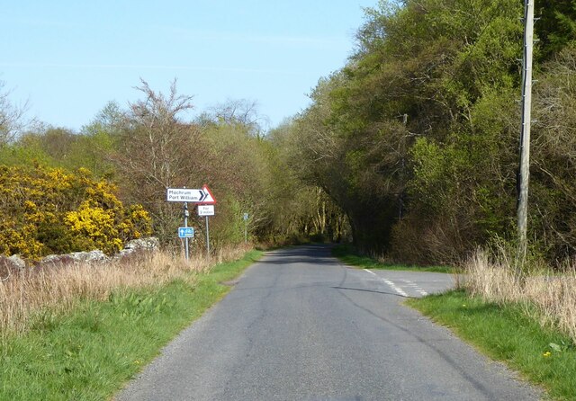
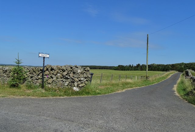
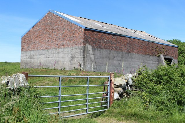
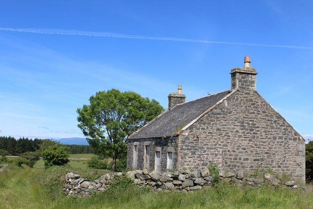
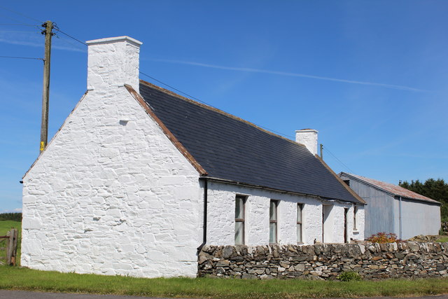
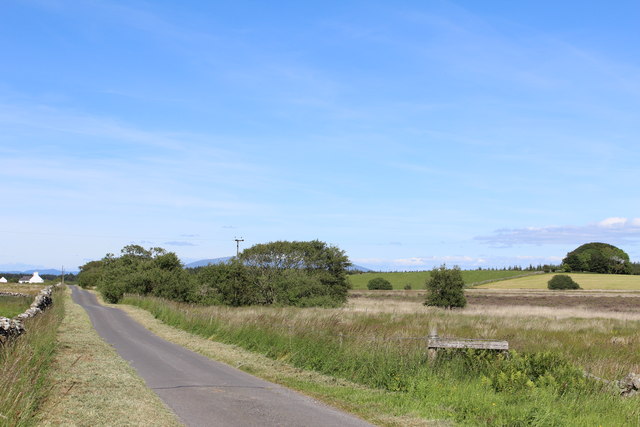
Images are sourced within 2km of 54.825802/-4.5971245 or Grid Reference NX3350. Thanks to Geograph Open Source API. All images are credited.
Derry Hill is located at Grid Ref: NX3350 (Lat: 54.825802, Lng: -4.5971245)
Unitary Authority: Dumfries and Galloway
Police Authority: Dumfries and Galloway
What 3 Words
///coffee.thumb.bandaged. Near Whithorn, Dumfries & Galloway
Nearby Locations
Related Wikis

Machars
The Machars (Scottish Gaelic: Machair Ghallghaidhealaibh) is a peninsula in the historical county of Wigtownshire in Galloway in the south-west of Scotland...

Elrig
Elrig (Scottish Gaelic: An Eileirg, meaning "the deer run") is a clachan or hamlet in the historical county of Wigtownshire in Dumfries and Galloway...

Mochrum
Mochrum () is a coastal civil and Church of Scotland parish situated to the east of Luce Bay on the Machars peninsula and 8 miles (13 km) southwest of...

Doon of May
The Doon of May is a conifer plantation associated with an Iron Age hill fort in Dumfries and Galloway, south-west Scotland. Located around 14 kilometres...
Have you been to Derry Hill?
Leave your review of Derry Hill below (or comments, questions and feedback).